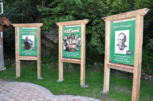
"The Edlseer" HOAMAT Hiking Trail

Sendero temático


- Breve descripción
-
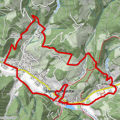
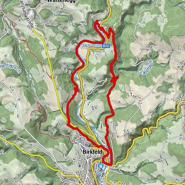
"Der Edlseer" HOAMAT hiking trail is an approx. 14 km long circular trail, starting from Birkfeld in the Joglland - Waldheimat region, in honor of the Edlseer who live there.
- Dificultad
-
medio
- Valoración
-
- Ruta
-
Spielplatz R80,0 kmBirkfeld0,7 kmWagenranch8,1 kmBuckenberg10,6 kmGschaid bei Birkfeld11,8 kmBirkfeld12,0 kmSpielplatz R812,0 km
- La mejor temporada
-
enefebmarabrmayjunjulagosepoctnovdic
- Punto álgido
- 739 m
- Punto final
-
Hoamatkapelle Birkfeld (near the train station Birkfeld)
- Perfil alto
-


- Autor
-
La gira "The Edlseer" HOAMAT Hiking Trail es utilizado por outdooractive.com proporcionado.
GPS Downloads


Información general
Punto de avituallamiento
Cultural/Histórico
Secreto
Vistas panorámicas
Más circuitos por las regiones
-
Hochsteiermark
4084
-
Joglland - Waldheimat
1515
-
Birkfeld
377