4 elements tour EARTH 1 in the thermal & volcanic country Styria (4 Elemente Tour ERDE 1 im Thermen- & Vulkanland Steiermark)


© (c) Robert Hopfer
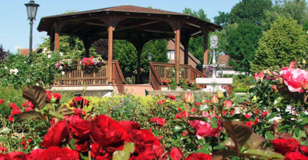
© Rosarium_(c) Gemeinde St. Stefan im Rosental

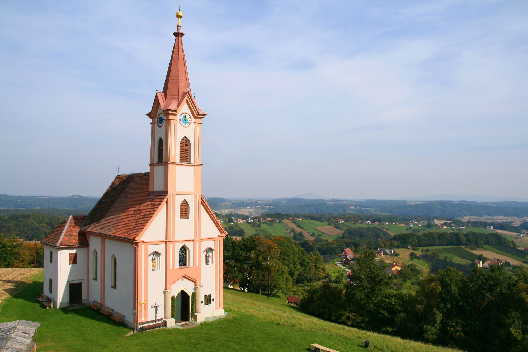
© Kapelle Glojach (c) Pauritsch_Tourismus Saßtal

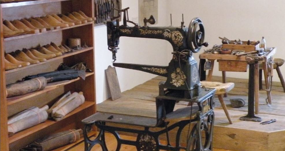
© Heimatmuseum_Gnas__(c)_Archiv_TV_Gnas-St._Peter_am_Ottersbach

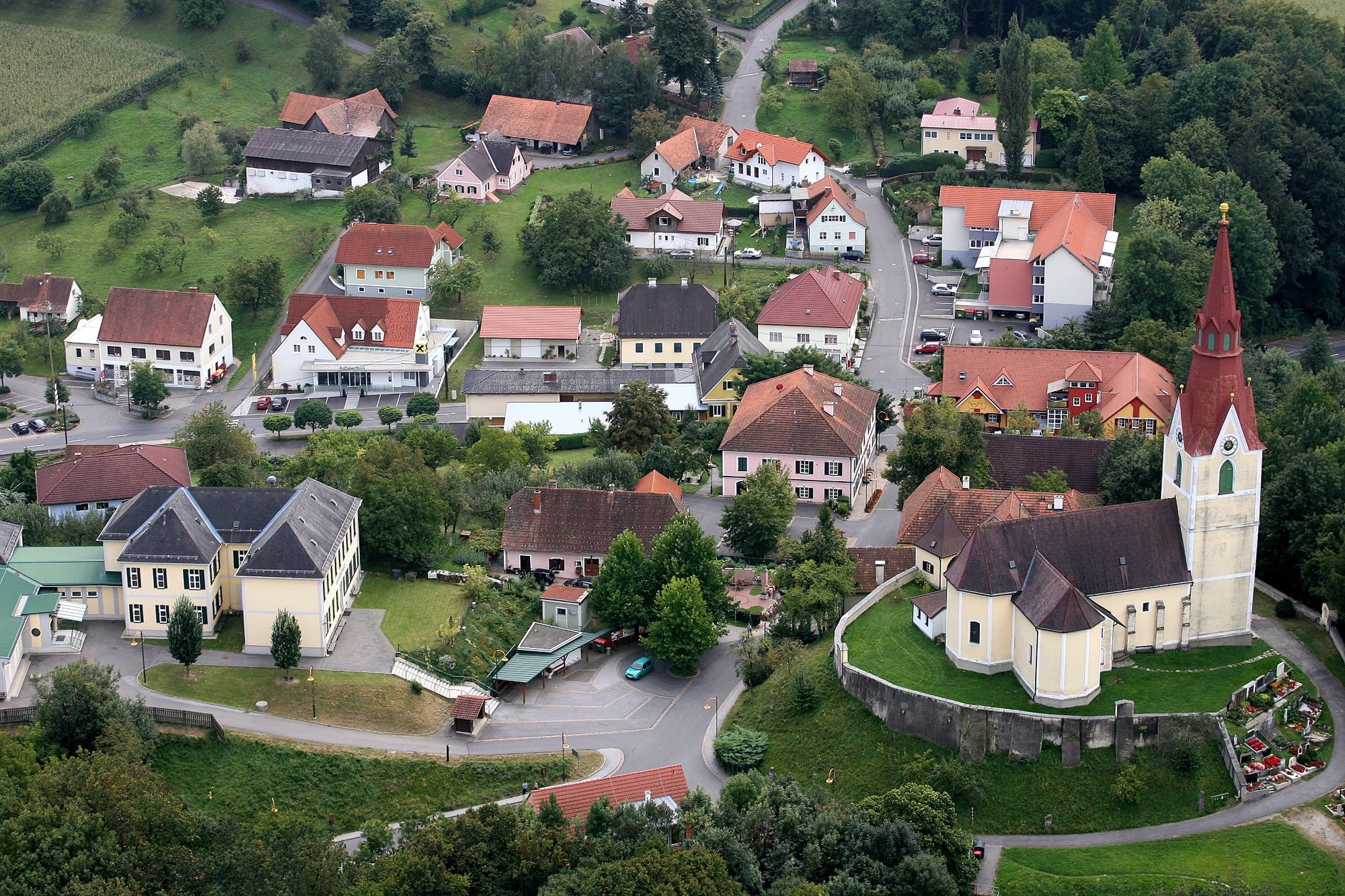
© Marktgemeinde Gnas

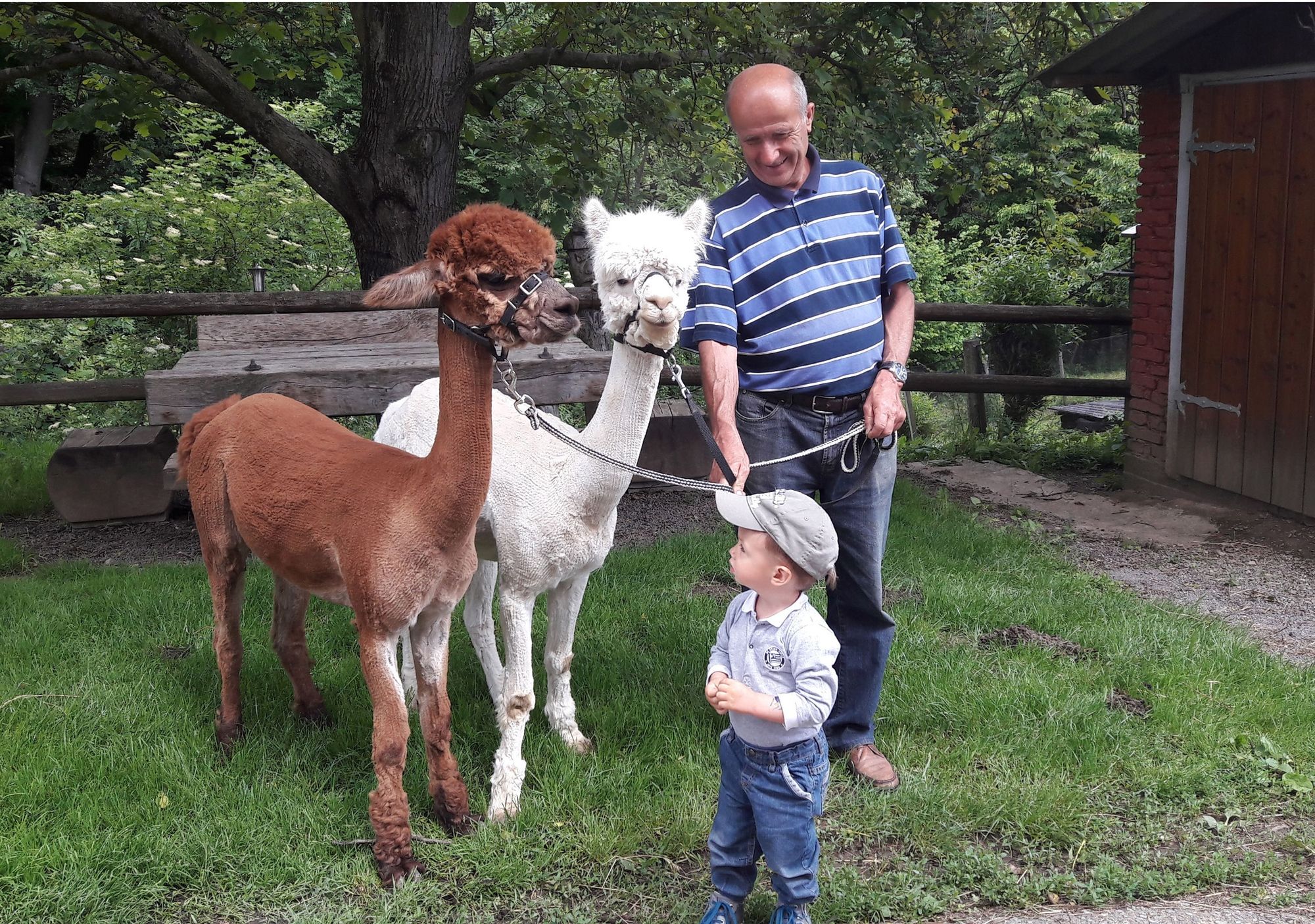
© © Alpaka Bratschitz_Familie Bratschitz

© Thermenland Alpakas_©_Thermenland Alpakas

© Thermen- & Vulkanland Steiermark - Harald Eisenberger

© Tourismusverband Feldbach - Bernhard Bergmann

© Tourismusverband Feldbach - Guido Lienhardt

- Breve descripción
-
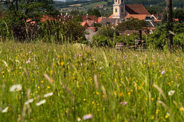
Feel the life
One with nature. Can cycling be more beautiful? The charm of the south - this tour attracts with unforgettable views.
- Dificultad
-
medio
- Valoración
-
- Ruta
-
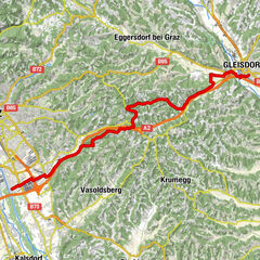
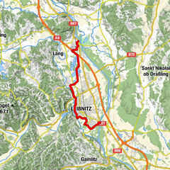
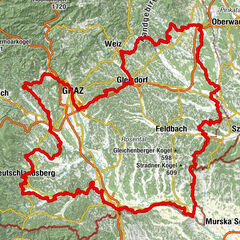
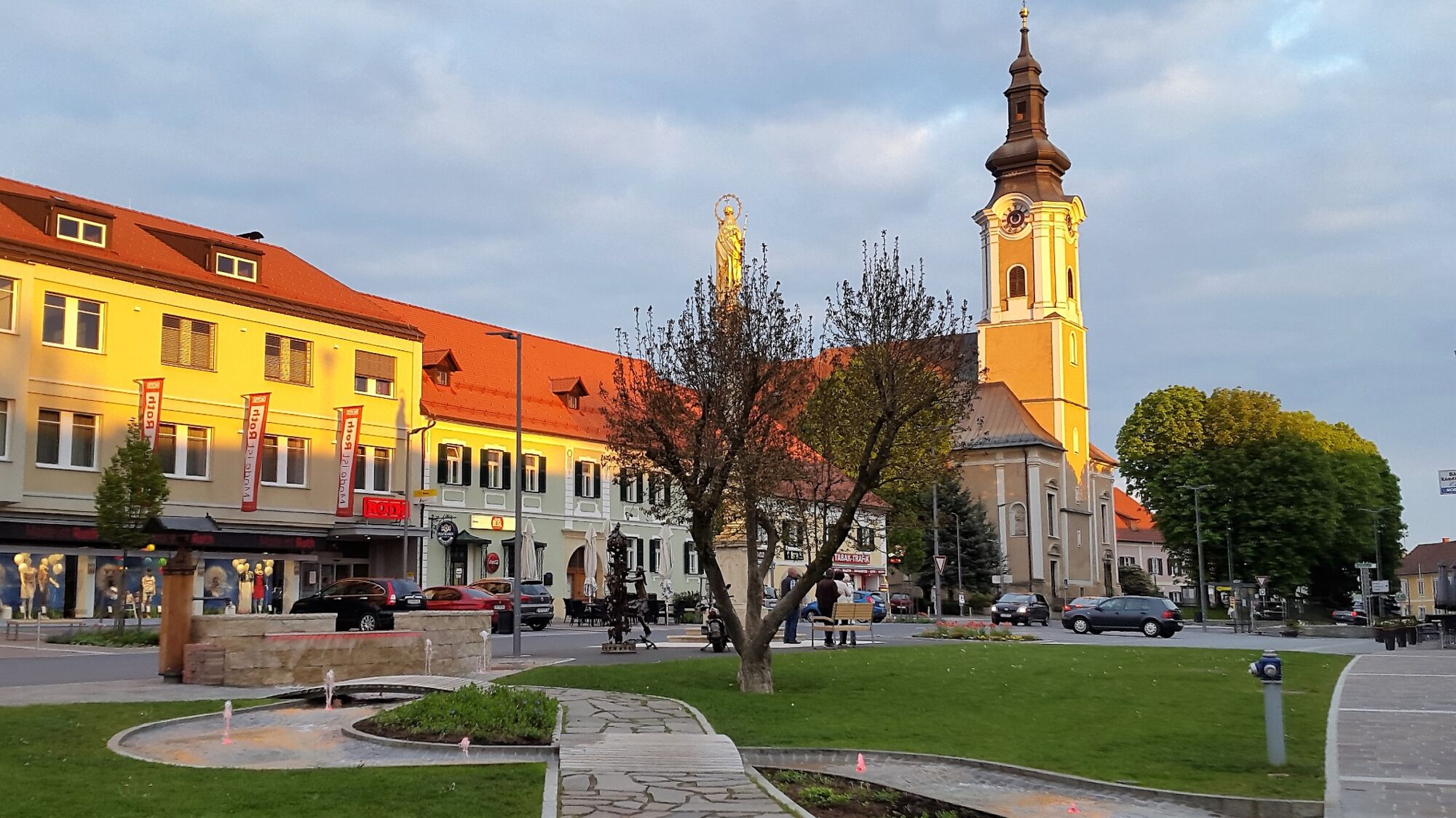
Feldbach0,2 kmOedt5,1 kmHohewart8,7 kmWarth9,0 kmGrabenhof11,3 kmLamberg (416 m)14,6 kmTrummer-Kapelle17,5 kmGatteregg17,5 kmHollerkogel (463 m)21,5 kmBergschenke Monschein24,5 kmReinhartegg24,8 kmTrössengraben26,6 kmJatzberg30,1 kmWeingraberleiten30,9 kmAltegg33,7 kmFrauenbach35,9 kmEdelhof36,1 kmRosentaker Pizzeria & Kebap Haus36,2 kmGasthaus Rosenwirt36,9 kmPfarrkirche hl. Stefan37,0 kmSankt Stefan im Rosental37,1 kmAnnis Gasthaus37,2 kmGreith41,5 kmGlojachberg42,1 kmWetzelsdorf bei Jagerberg45,0 kmUngerdorf46,9 kmJagerberg48,5 kmHaiden48,6 kmCafe Pizzeria Monte Jawa48,6 kmPöllau50,4 kmNieslkapelle51,6 kmGstättenfeld51,7 kmUnterauersbach52,6 kmRadisch55,3 kmAug56,2 kmAugberg56,3 kmAsselberg56,9 kmGrabersdorf59,6 kmDie Mühle59,6 kmKapelle Grabersdorf59,6 kmRaning62,4 kmMarktheuriger63,4 kmPfarrkirche hl. Maria63,8 kmGnas63,9 kmGasthaus Kurzweil64,0 kmKogelegg (405 m)68,2 kmKinsdorf69,4 kmHirsdorf71,3 kmOedt74,0 kmFeldbach76,7 km
- La mejor temporada
-
enefebmarabrmayjunjulagosepoctnovdic
- Punto álgido
- 448 m
- Punto final
-
Feldbach
- Perfil alto
-


-

-
AutorLa gira 4 elements tour EARTH 1 in the thermal & volcanic country Styria (4 Elemente Tour ERDE 1 im Thermen- & Vulkanland Steiermark) es utilizado por outdooractive.com proporcionado.
GPS Downloads


Información general
Punto de avituallamiento
Cultural/Histórico
Flora
Fauna
Vistas panorámicas
Más circuitos por las regiones
-
Oststeiermark
375
-
Bad Gleichenberg
168
-
Paldau
58