© TVB Murau

© Tom Lamm | ikarus.cc - Tom Lamm
Datos del tour
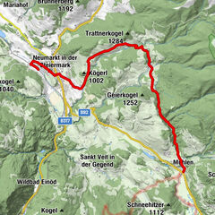
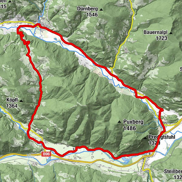
30,16km
742
- 1.110m
223hm
248hm
02:00h
- Dificultad
-
fácil
- Valoración
-
- Ruta
-
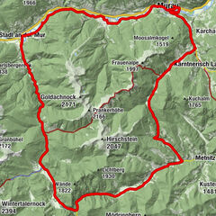
StadtPfarrkirche hl. Martin0,0 kmOberwölz0,0 kmFilialkirche hl. Sigismund0,1 kmJohannes-Nepomuk-Kapelle0,1 kmVorstadt0,2 kmWieden1,2 kmFilialkirche hl. Pankratius1,9 kmHinterburg5,5 kmKatsch an der Mur10,5 kmUnterdorf10,9 kmFrojach12,9 kmPux15,9 kmNiederwölz19,7 kmPfarrkirche hl. Maximilian19,7 kmAnnenkapelle19,9 kmPachern23,3 kmFresen23,7 kmRaiming26,5 kmBromach29,6 kmLeitnerkapelle29,7 kmStadt30,1 kmPfarrkirche hl. Martin30,1 kmOberwölz30,1 km
- La mejor temporada
-
enefebmarabrmayjunjulagosepoctnovdic
- Punto álgido
- 1.110 m
- Material cartográfico
GPS Downloads


Calzadas
Asfalto
(20)
Gravilla
(10)
Bosque
Caminos de montaña
Rutas individuales
Trial
Tráfico
Más circuitos por las regiones