
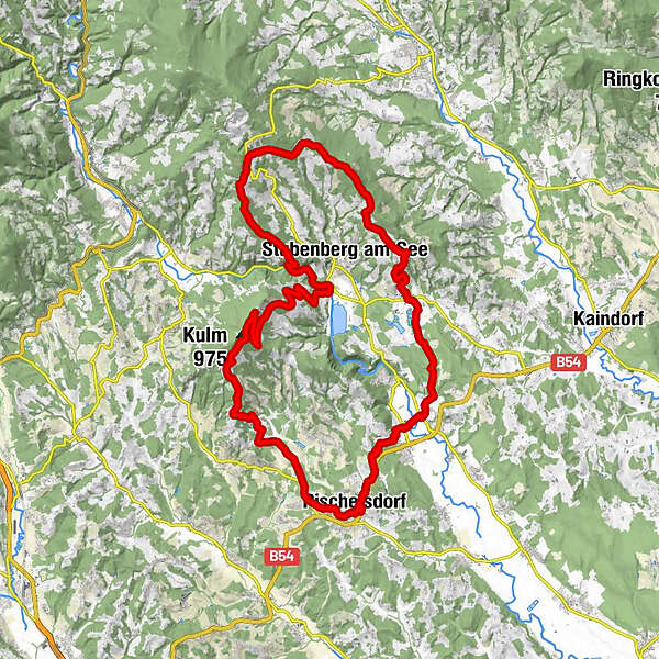
Datos del tour
42,87km
354
- 922m
1.322hm
1.310hm
06:00h
- Breve descripción
-
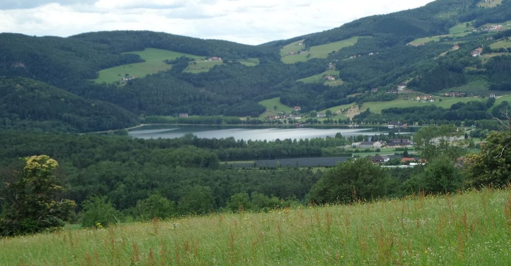
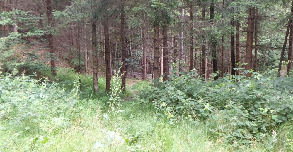
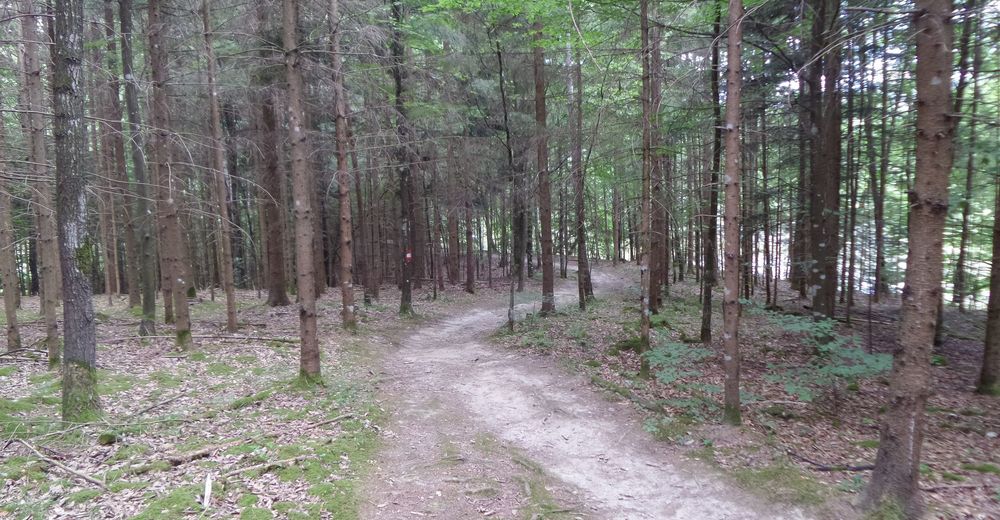
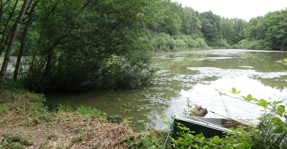
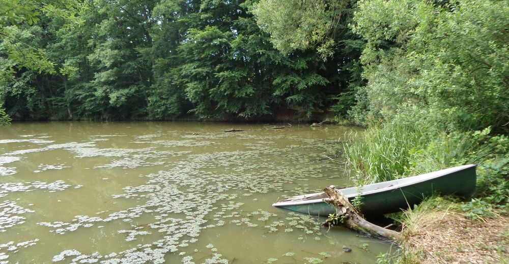
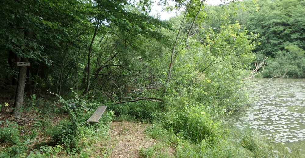
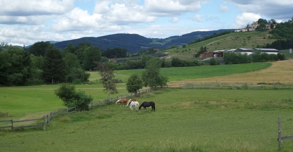
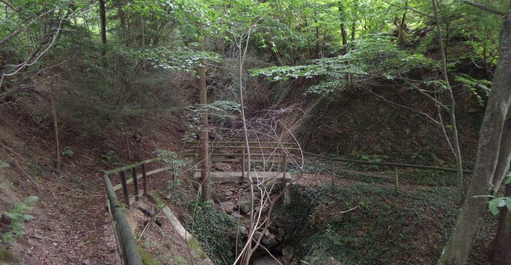
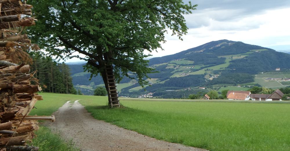
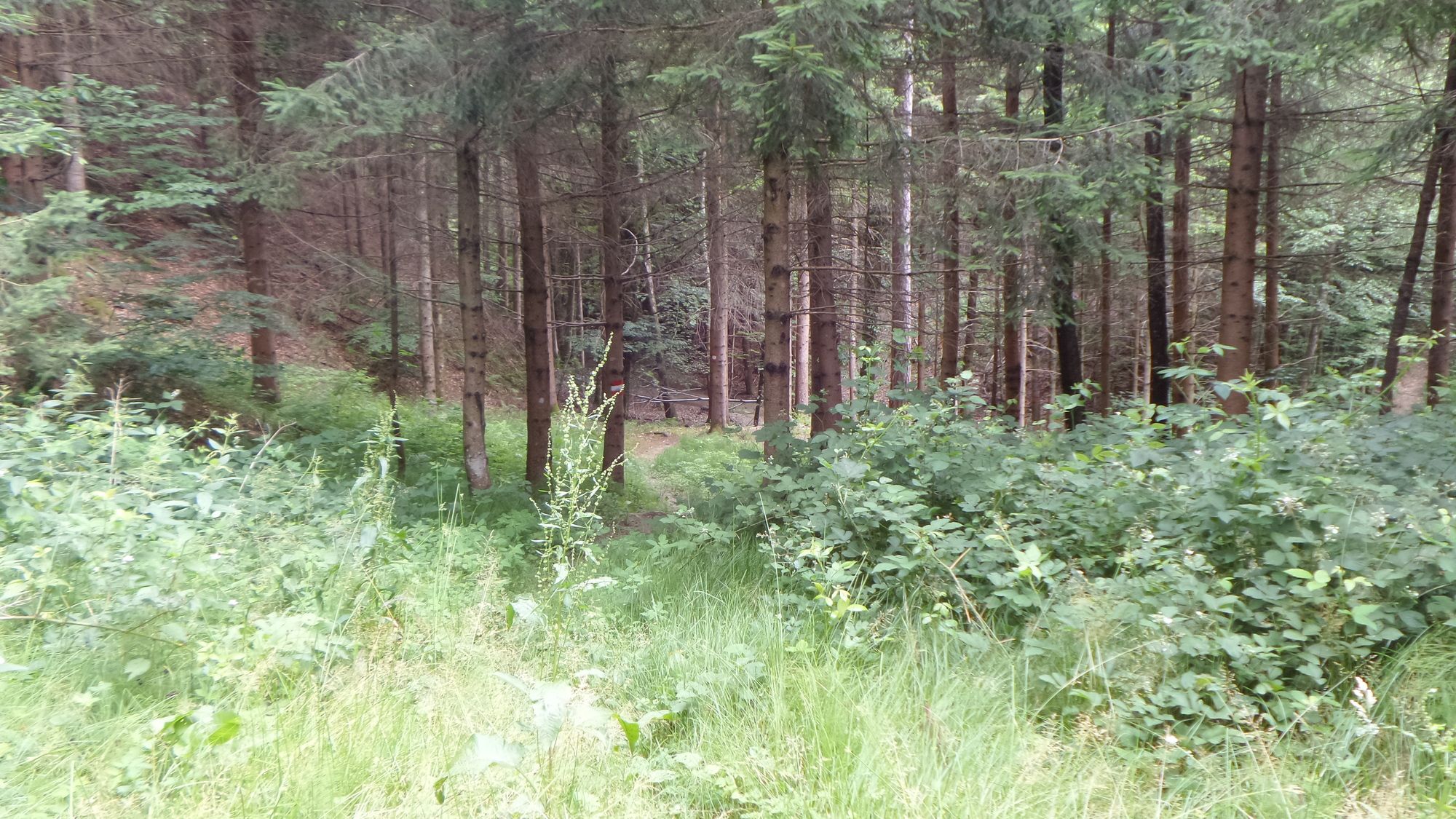
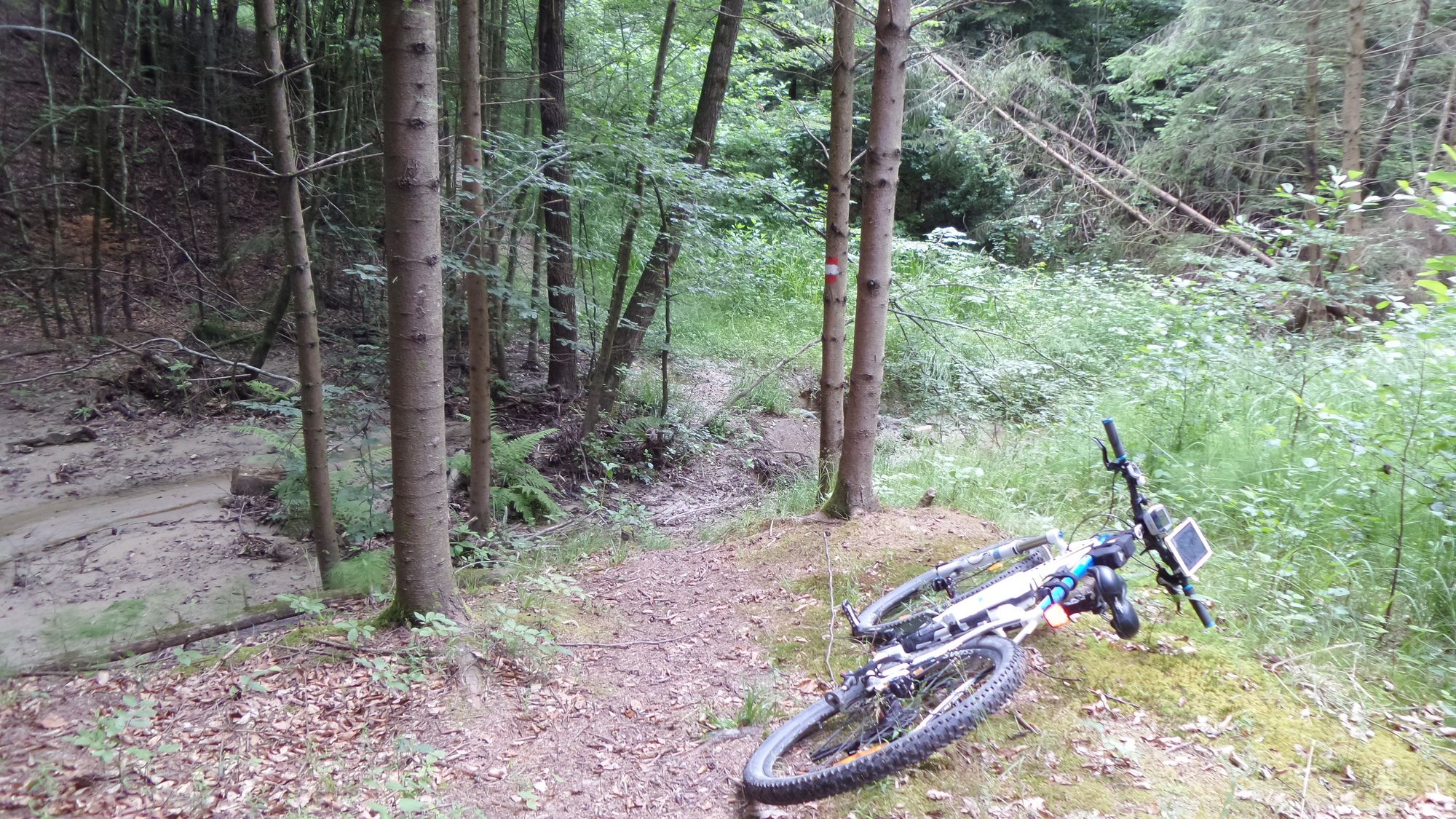
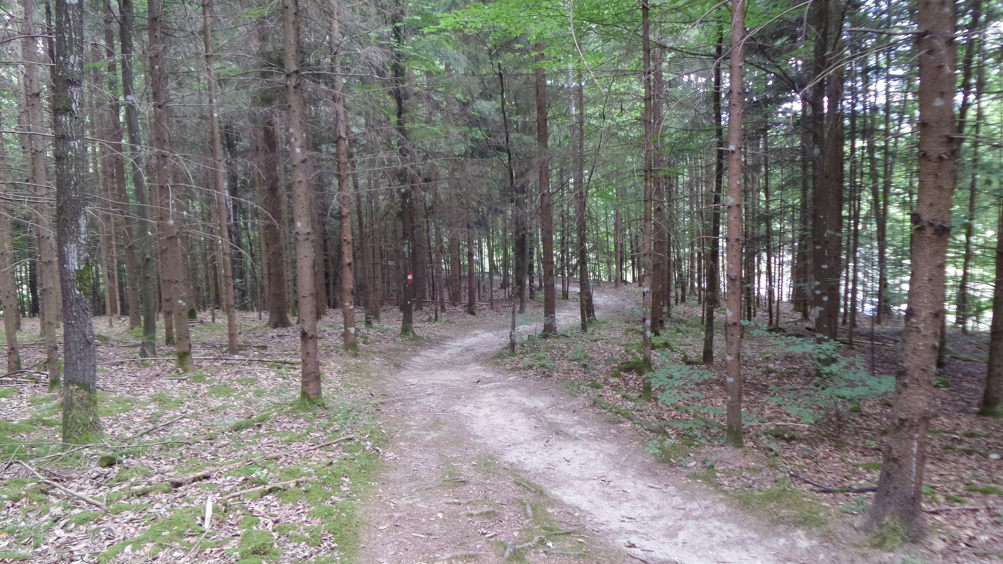
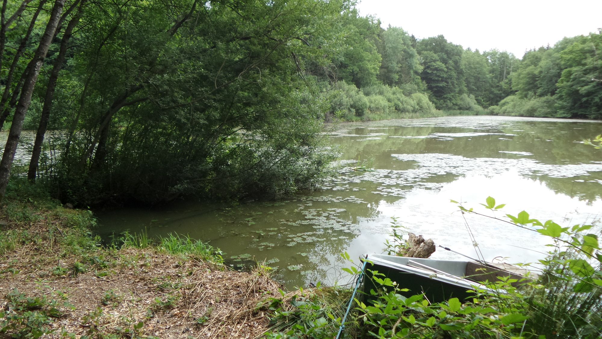
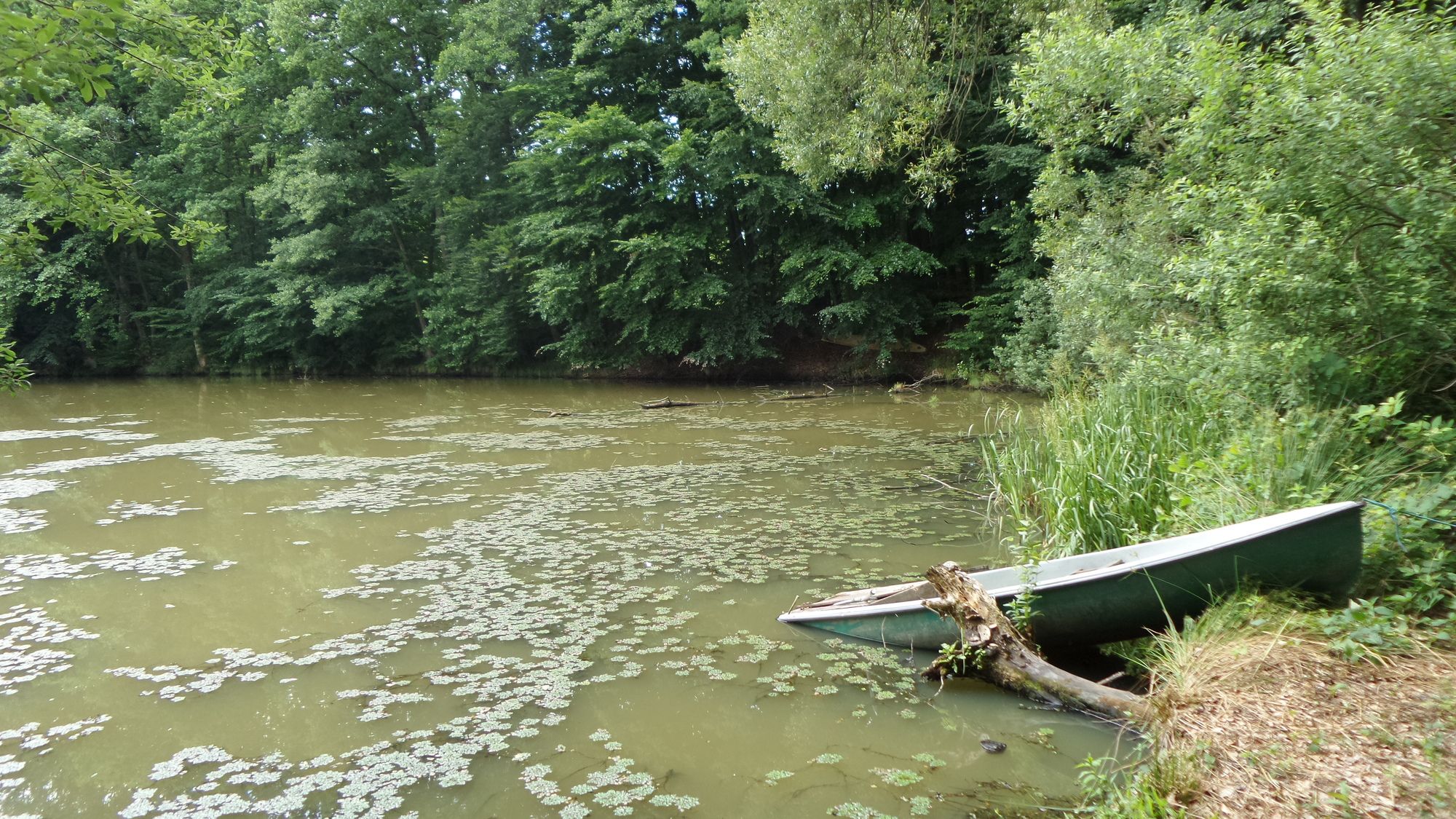
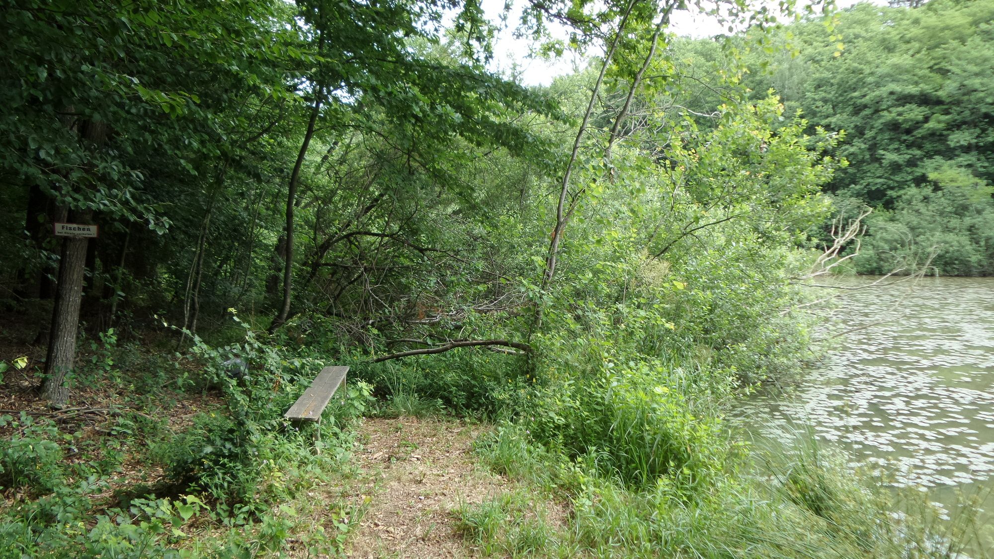
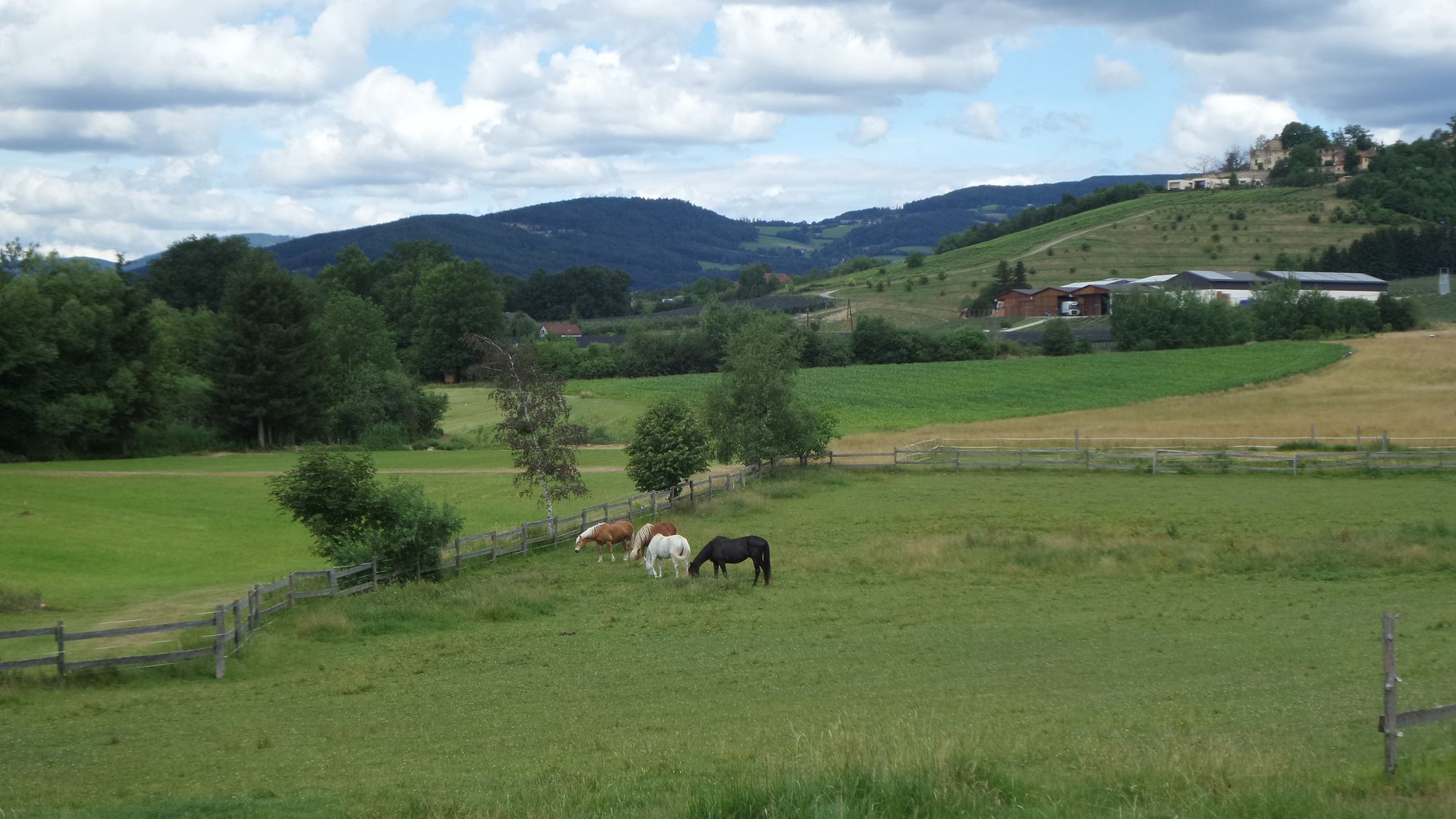
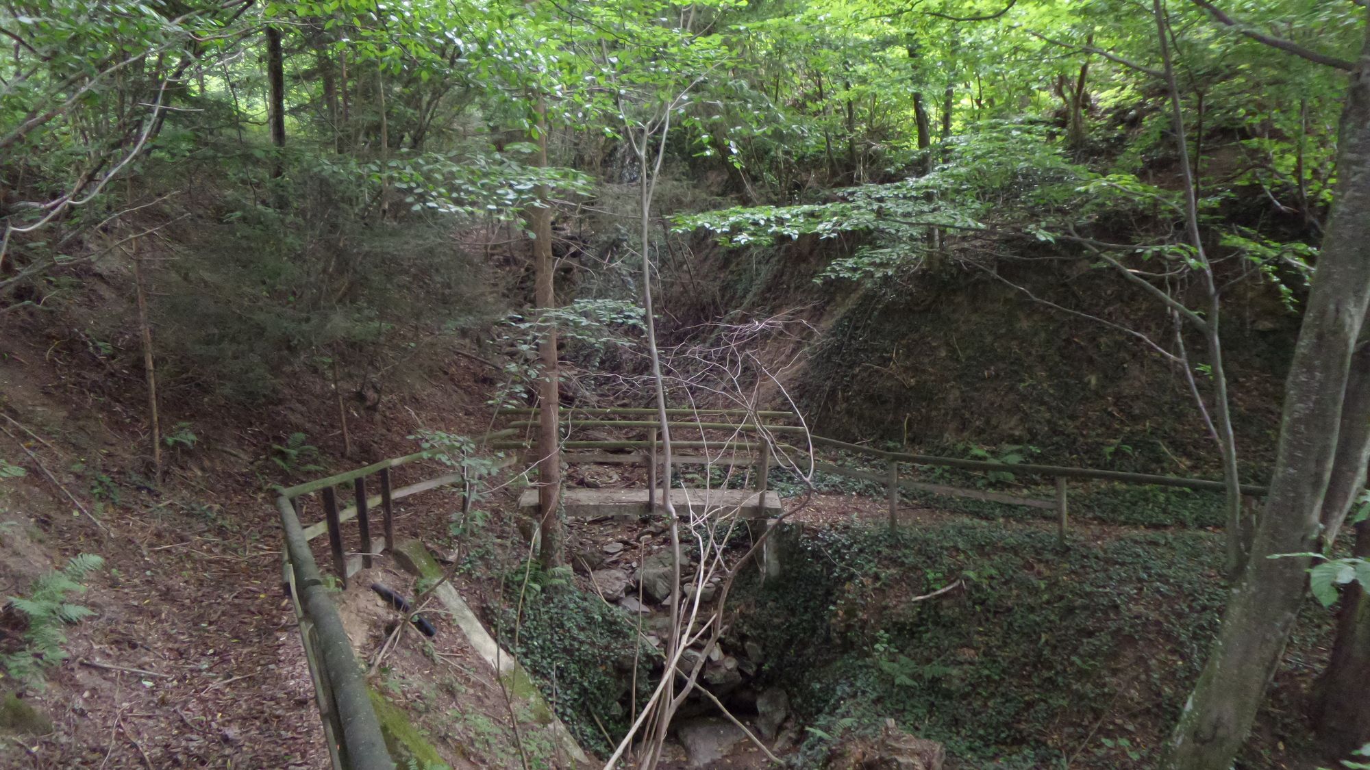
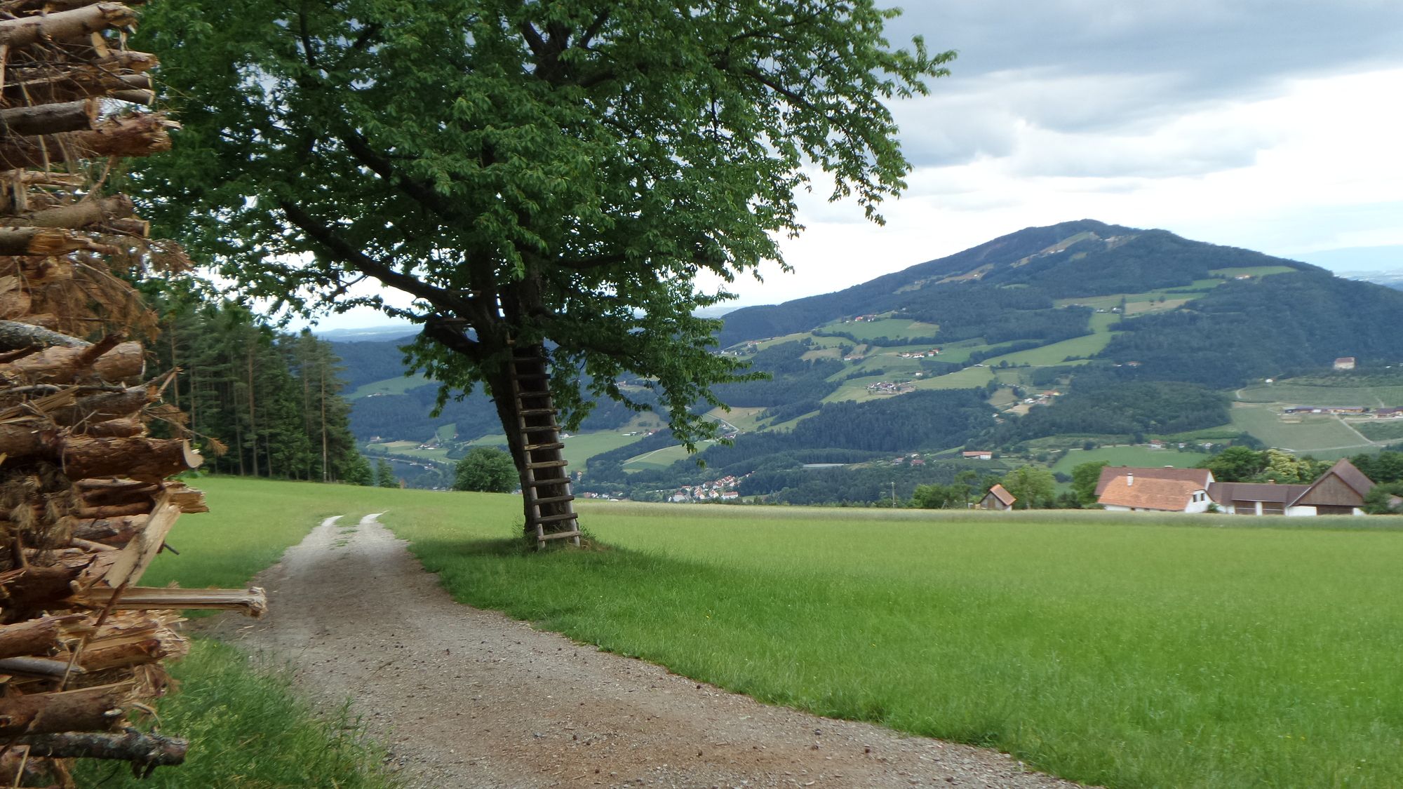
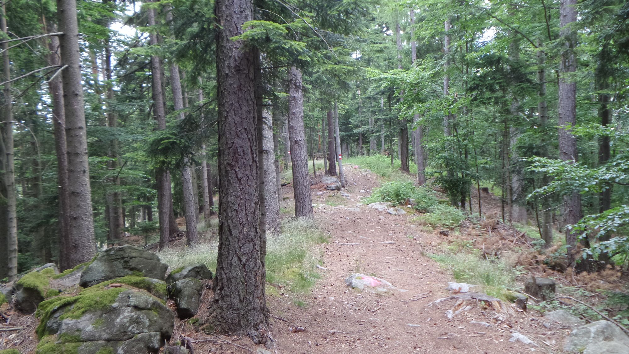
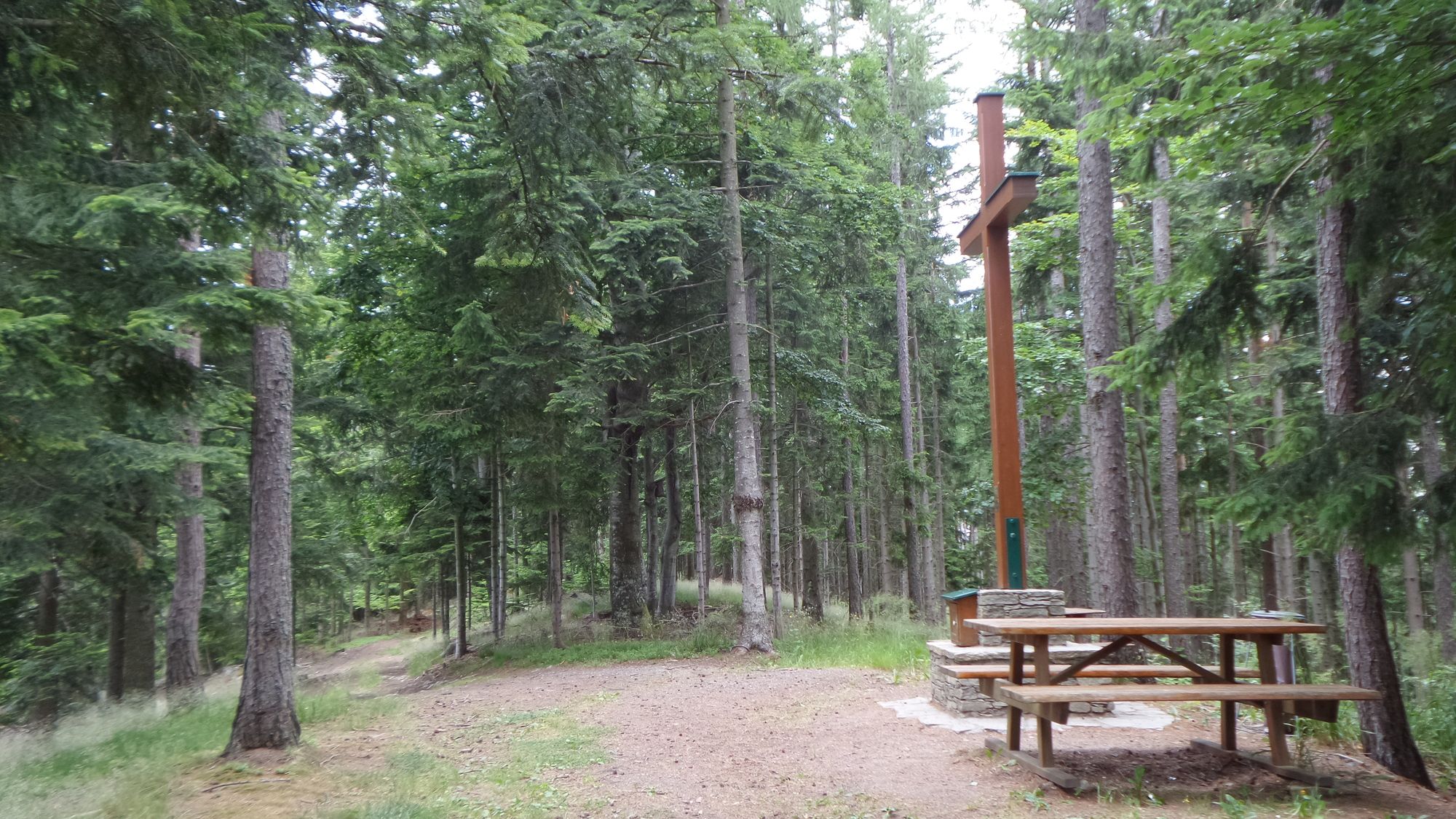
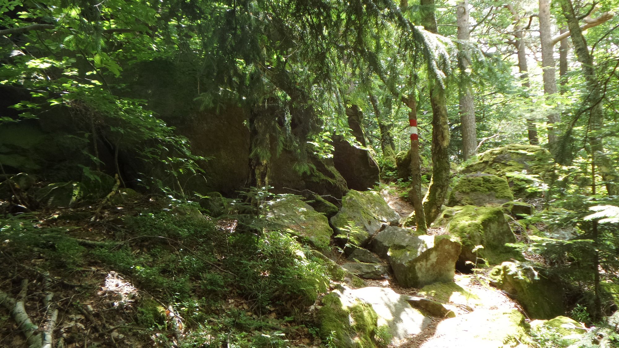
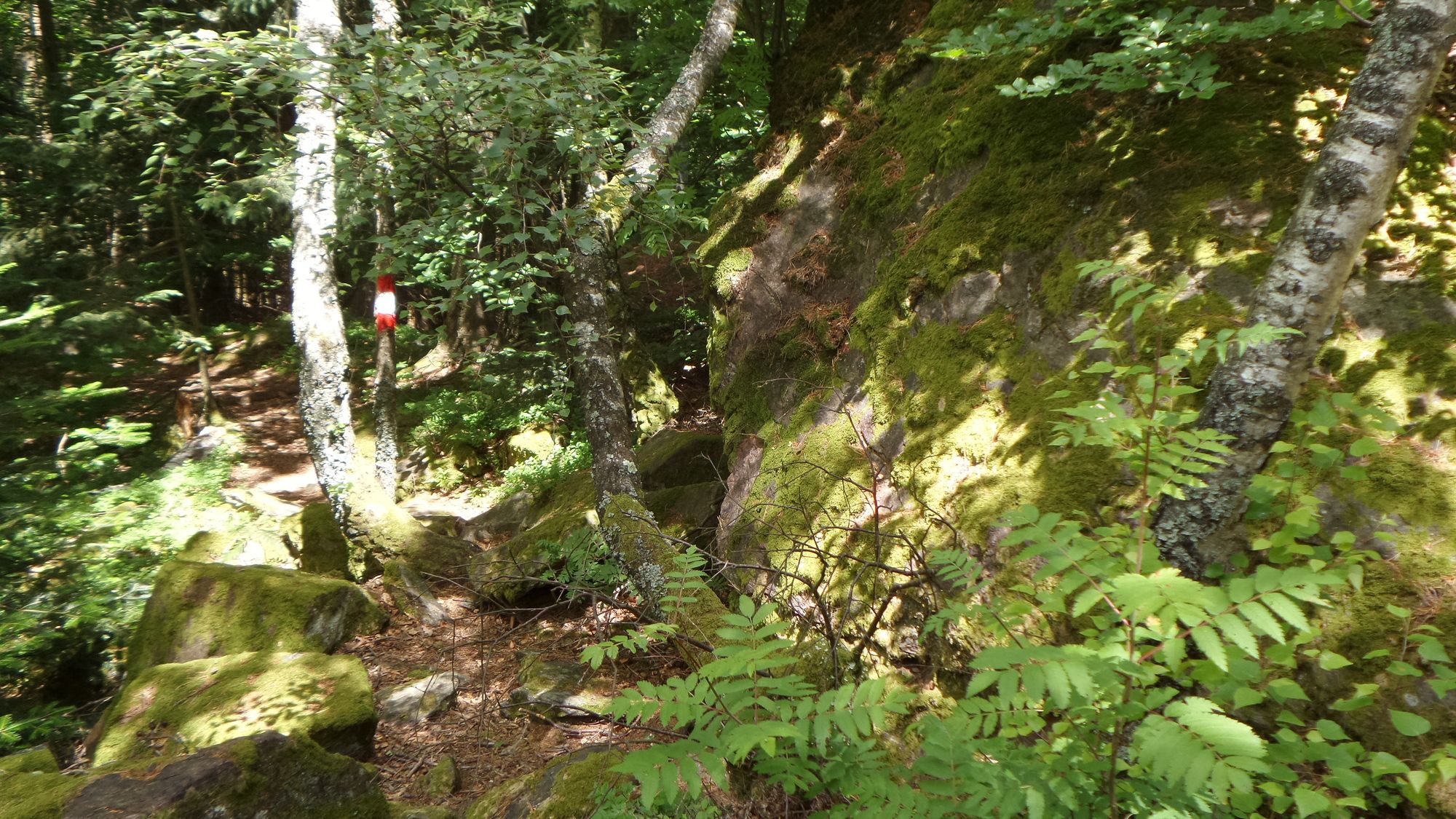
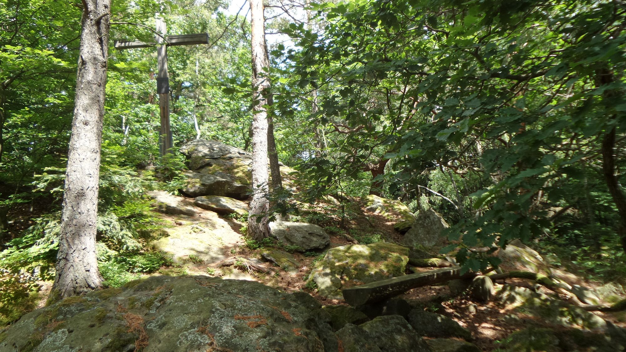
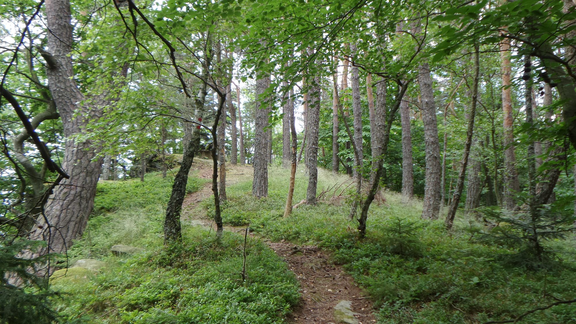
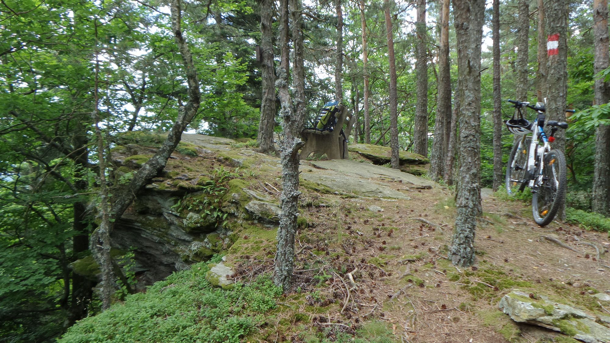
Umfassende Tour rund um den Stubenbergsee. Es geht auf den Buchkogel, den Kreilberg und den Kulm.
- Dificultad
-
difícil
- Valoración
-
- Punto de salida
-
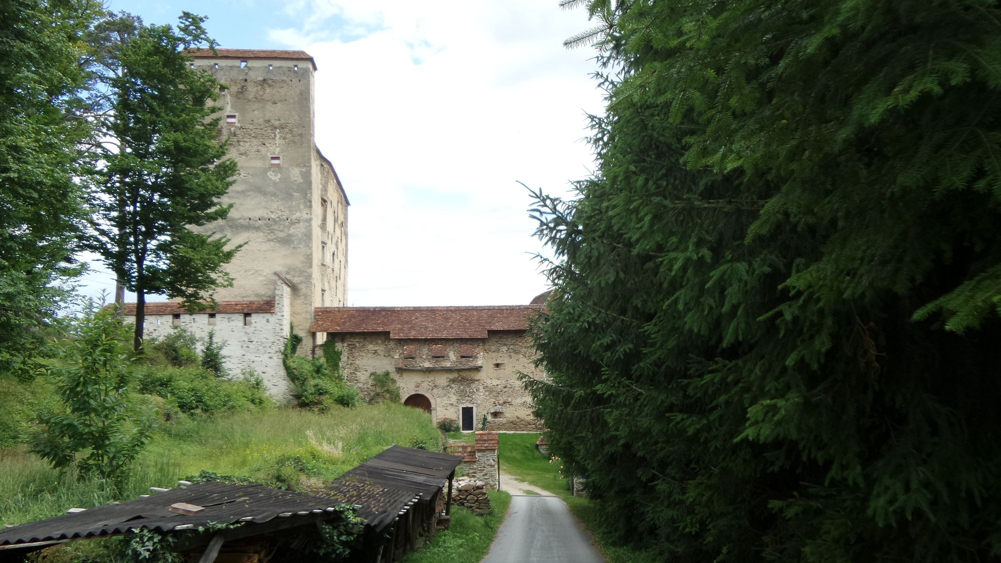
Pischelsdorf in der Steiermark
- Ruta
-
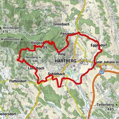
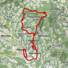
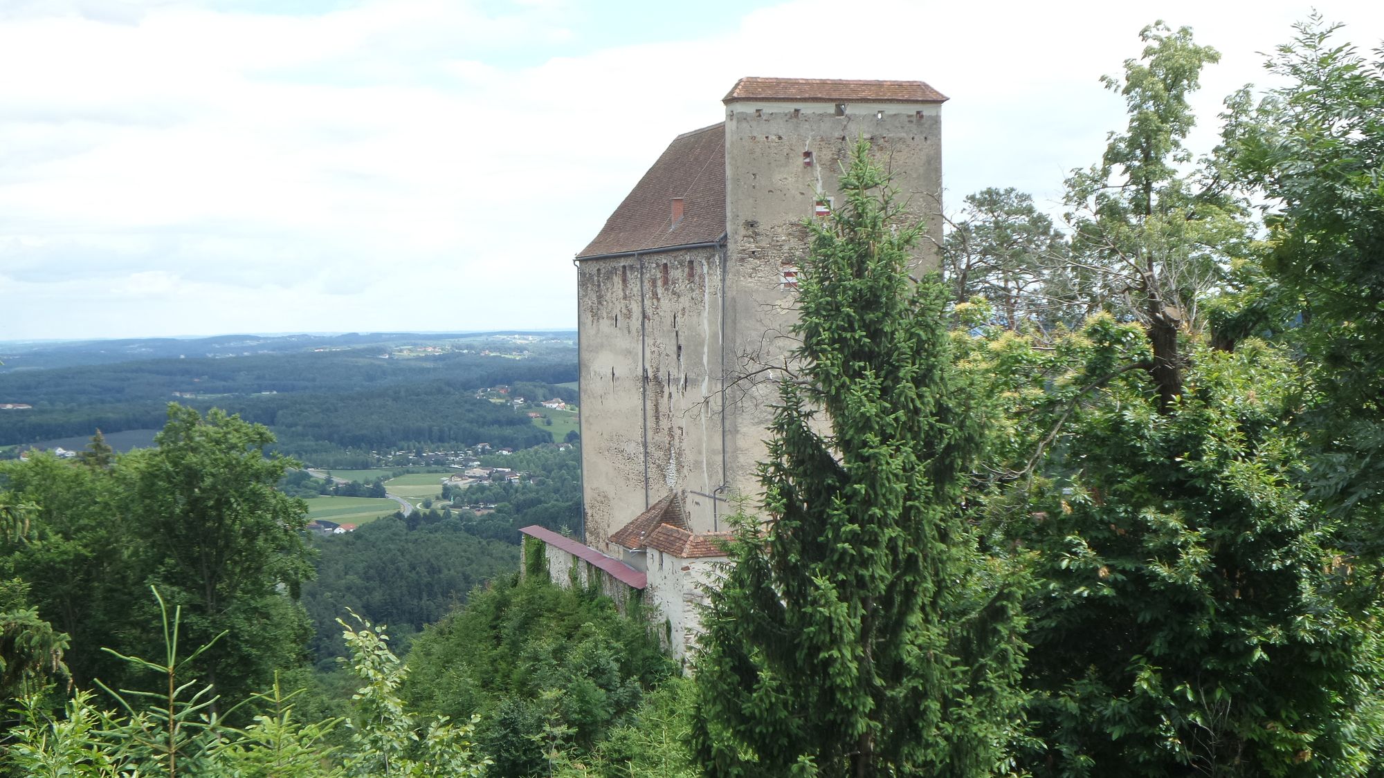
PischelsdorfHirnsdorfer Höhe1,3 kmKleinpesendorf1,4 kmHirnsdorf3,1 kmKaibing4,7 kmZeil bei Stubenberg13,1 kmBuchkogel (907 m)14,9 kmKreilkogel (869 m)20,9 kmSchnitzelwirt am Kulm31,9 kmKulm (975 m)32,5 kmKapelle34,1 kmHochlangegg35,8 kmRohrbach am Kulm38,8 kmVorstadt39,9 kmPfarrkirche hll. Peter und Paul42,3 kmPischelsdorf42,3 km
- La mejor temporada
-
enefebmarabrmayjunjulagosepoctnovdic
- Punto álgido
- 922 m
- Punto final
-
Pischelsdorf
- Descanso/Avituallamiento
-
Sattelwirt am Kuld

GPS Downloads


Calzadas
Asfalto
Gravilla
Bosque
Caminos de montaña
Rutas individuales
Trial
Tráfico
Más circuitos por las regiones