© Tourismusverband ERZBERG LEOBEN - Anton Hirschmann

© Tourismusverband ERZBERG LEOBEN - Anton Hirschmann

© TV Hochsteiermark - Asia Spa

- Breve descripción
-
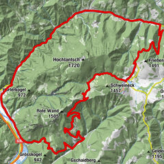
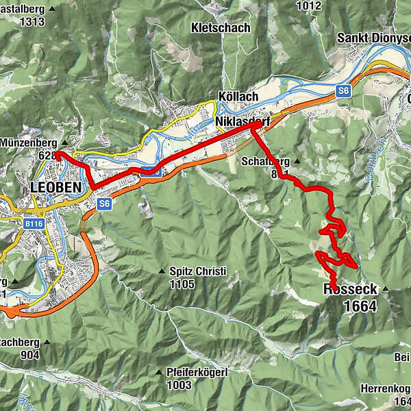
This very selective route is a great challenge in the forest passages and is rewarded with a beautiful panoramic view over the city of Leoben to the Mürztal valley after reaching the timberline.
- Dificultad
-
difícil
- Valoración
-
- Ruta
-
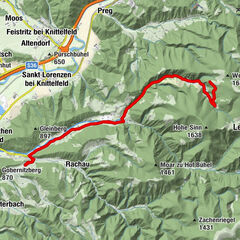
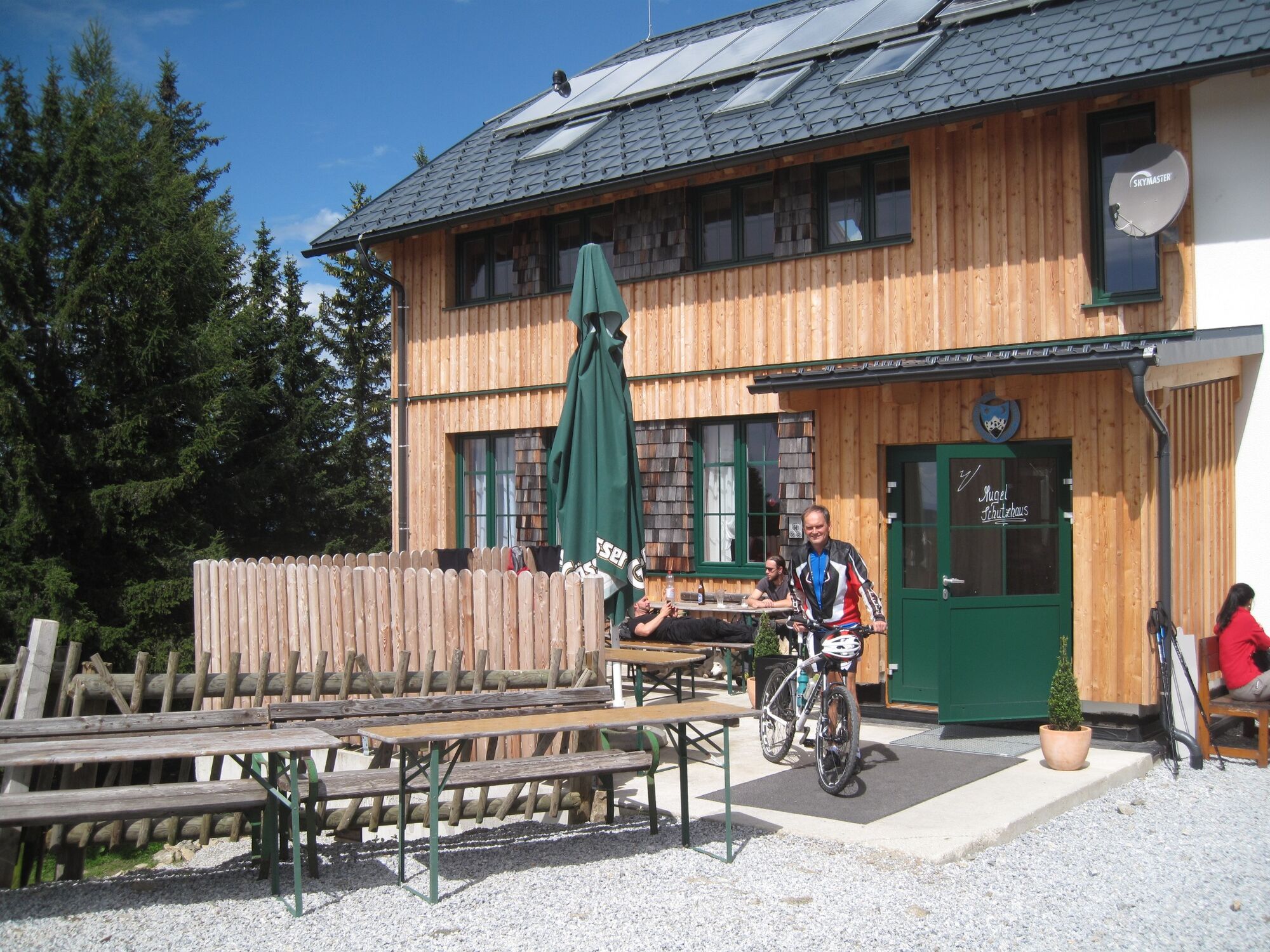
LeobenLerchenfeld2,0 kmPalladio2,1 kmPizzeria La Pizza2,2 kmBrücklwirt4,2 kmNiklasdorf5,4 kmNiklasdorf5,7 kmMugel (1.630 m)15,5 kmMugelschutzhaus15,6 km
- La mejor temporada
-
enefebmarabrmayjunjulagosepoctnovdic
- Punto álgido
- 1.611 m
- Punto final
-
Mugel-Schutzhaus
- Perfil alto
-


- Autor
-
La gira Mountain bike trail Mugel es utilizado por outdooractive.com proporcionado.
GPS Downloads


Información general
Punto de avituallamiento
Vistas panorámicas
Más circuitos por las regiones
-
Erzberg Leoben
174
-
Bruckmur-Kapfenberg
107
-
Niklasdorf
43