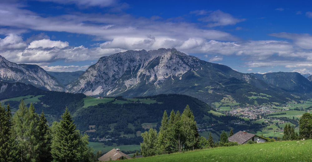
© Erlebnisregion Schladming-Dachstein - Hannes Peer

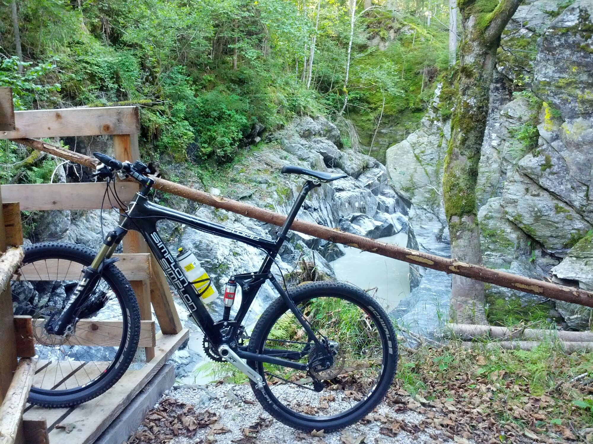
© Erlebnisregion Schladming-Dachstein - Schladming Dachstein
© Erlebnisregion Schladming-Dachstein - Schladming Dachstein
- Breve descripción
-
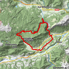
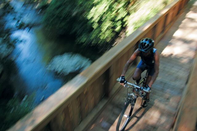
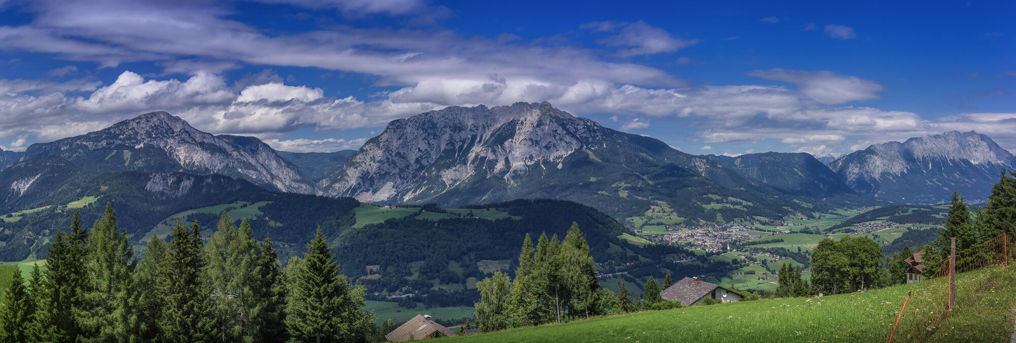
Steep climbs, selective descents, unique landscapes in the Nature park Sölktäler
- Dificultad
-
difícil
- Valoración
-
- Ruta
-
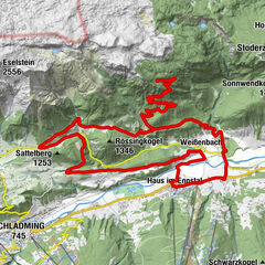
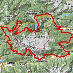
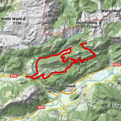
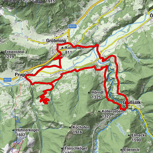
PruggernMaria Rosenkranzkönigin0,0 kmMichaelerberg5,0 kmMichaelerberghaus5,8 kmMoosheim11,1 kmSt. Michael11,2 kmGelsenberg13,8 kmDörfl14,2 kmReith16,6 kmGroßsölk19,8 kmGatschberg22,6 kmStein an der Enns24,4 kmRestaurant Hubertus24,8 kmRatting26,3 kmKaindorf27,2 kmGröbming28,8 kmThalhamm31,0 kmPruggern34,3 kmLandgasthof Bierfriedl34,4 km
- La mejor temporada
-
enefebmarabrmayjunjulagosepoctnovdic
- Punto álgido
- 1.201 m
- Punto final
-
Village Square, Pruggern
- Perfil alto
-

-

-
AutorLa gira Strubschlucht Tour | 12 es utilizado por outdooractive.com proporcionado.
GPS Downloads


Información general
Punto de avituallamiento
Secreto
Vistas panorámicas
Más circuitos por las regiones
-
Schladming - Dachstein
399
-
Gröbminger Land
122
-
Gröbming
29