© Erlebnisregion Schladming-Dachstein - Schladming Dachstein
© Gerhard Pilz
© Gerhard Pilz
© Gerhard Pilz
© Tourismusverband Schladming - Gerhard Pilz
© Gerhard Pilz

© Gerhard Pilz
© Gerhard Pilz
© Gerhard Pilz
© Gerhard Pilz
- Breve descripción
-
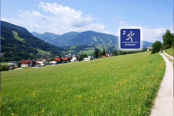
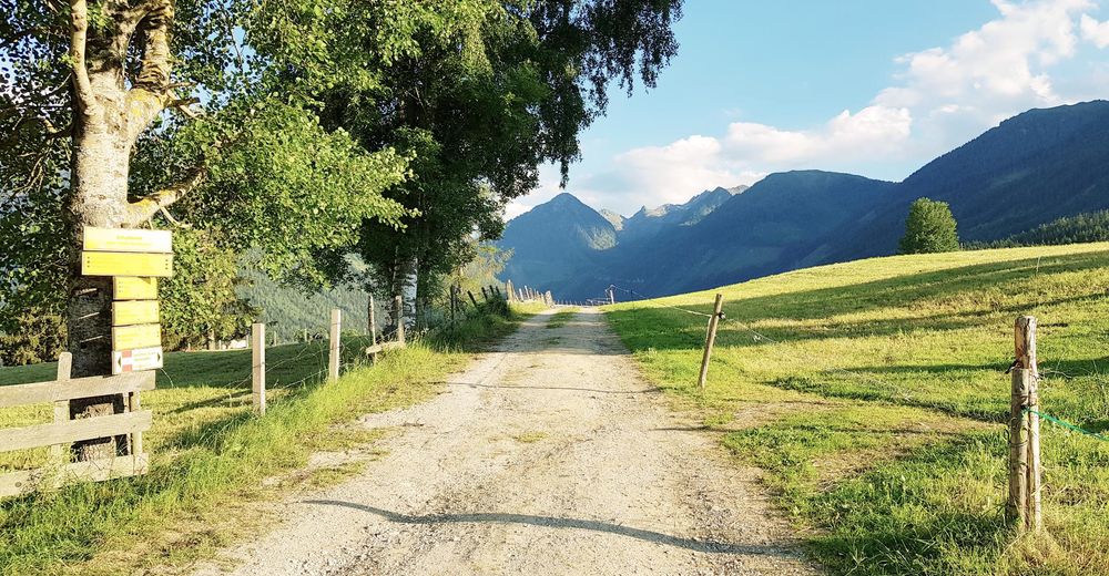
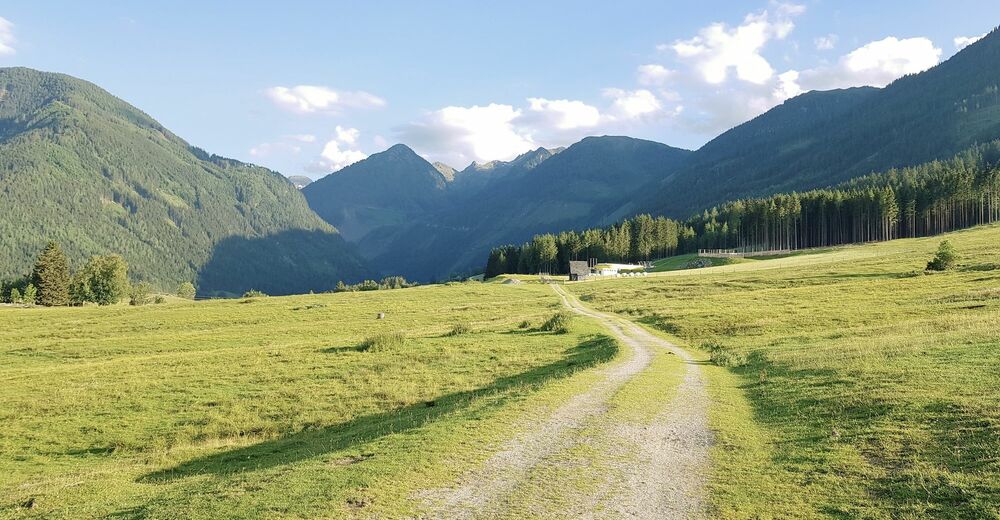
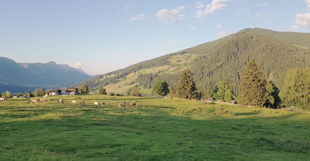
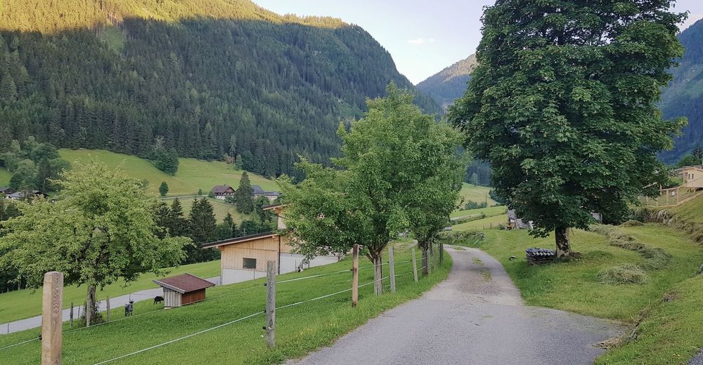
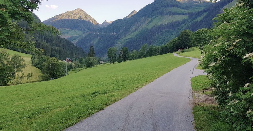
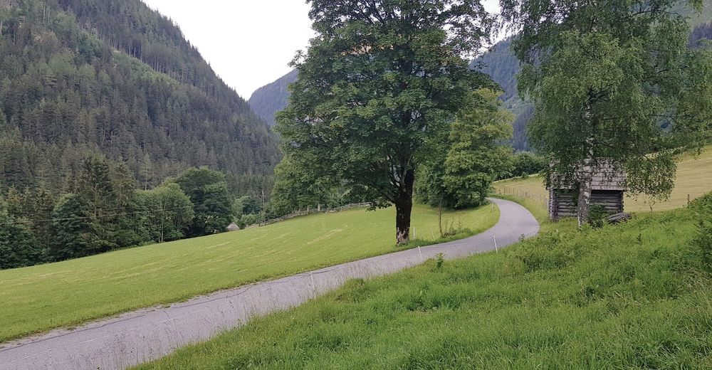
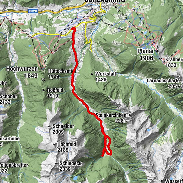
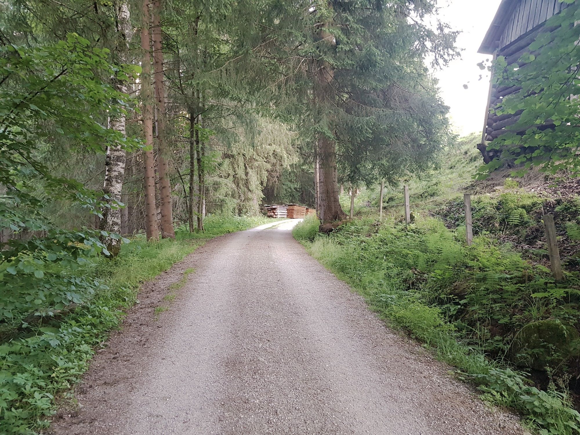
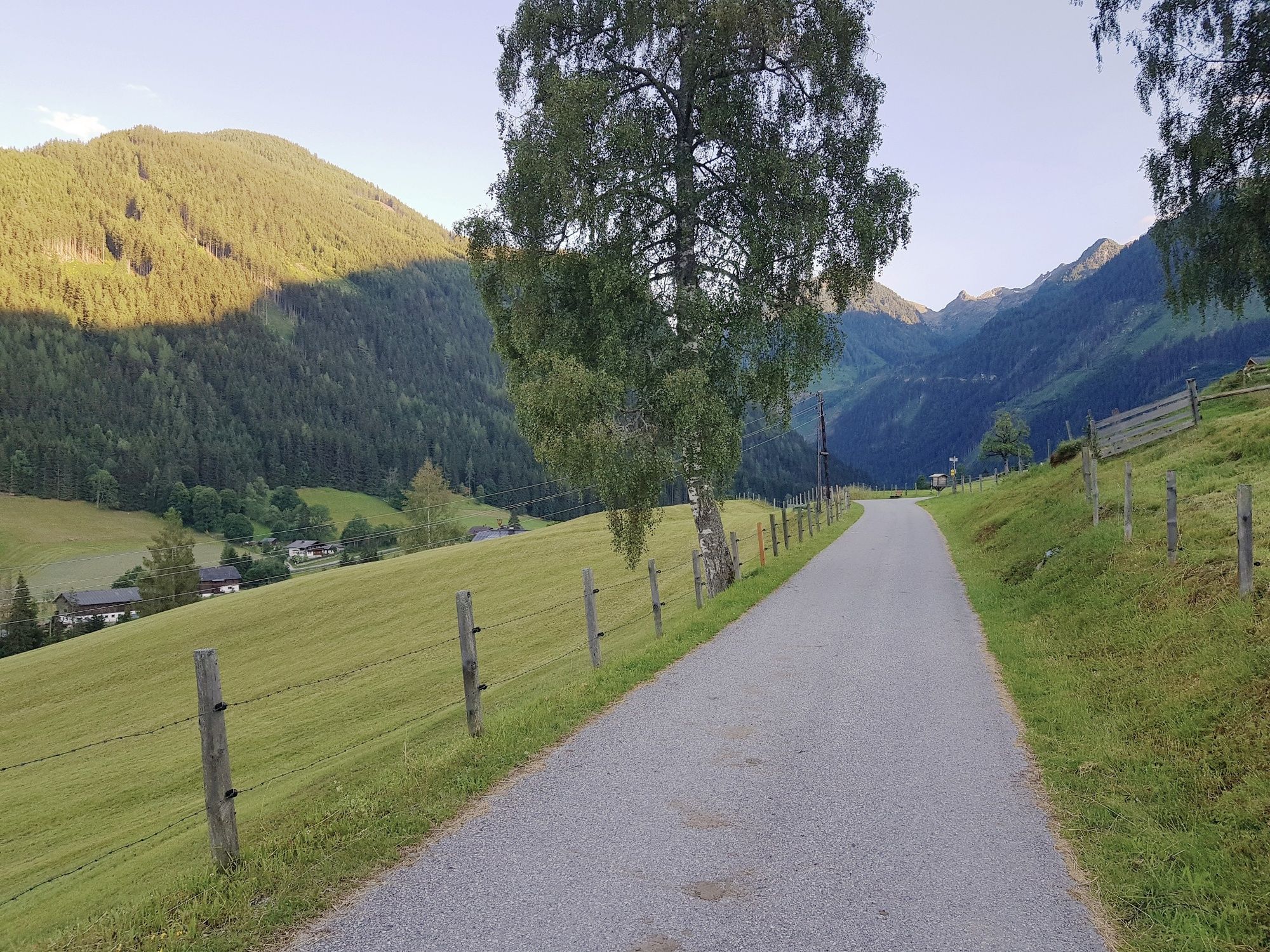
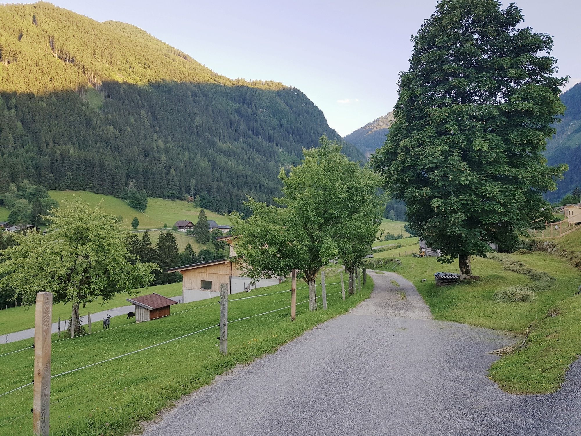
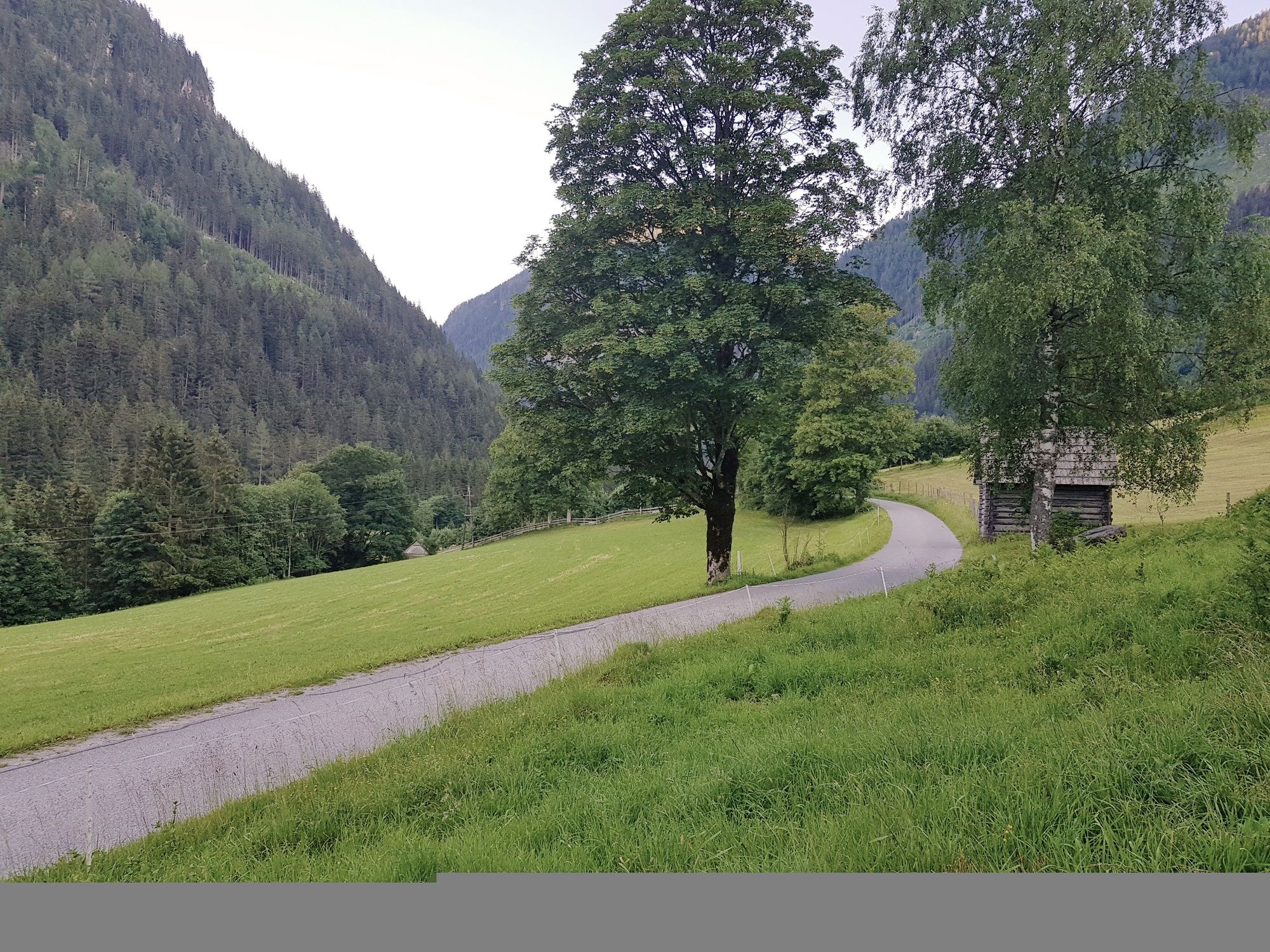
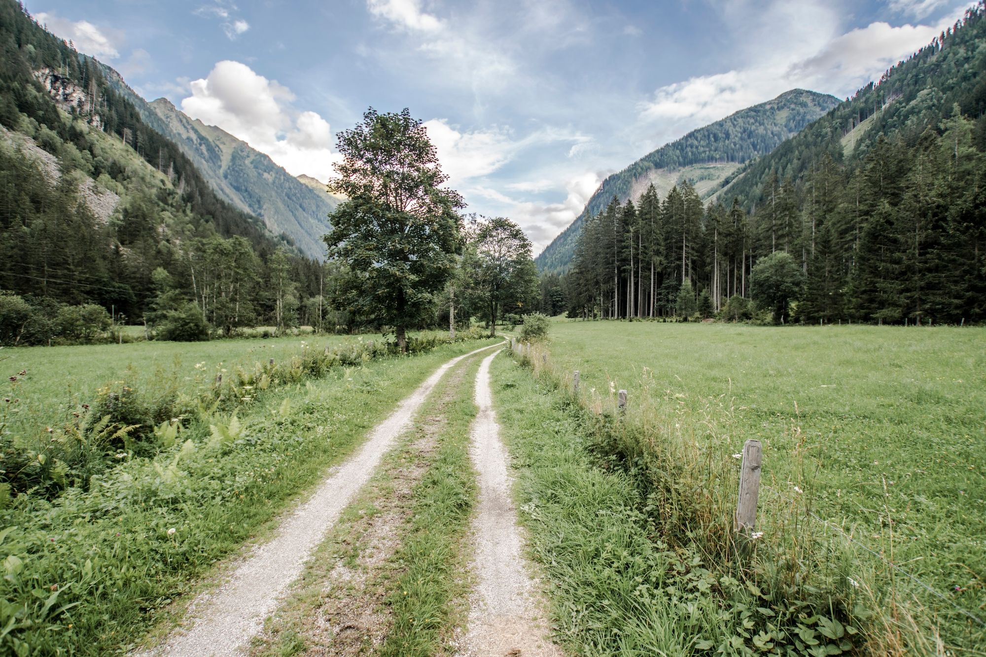
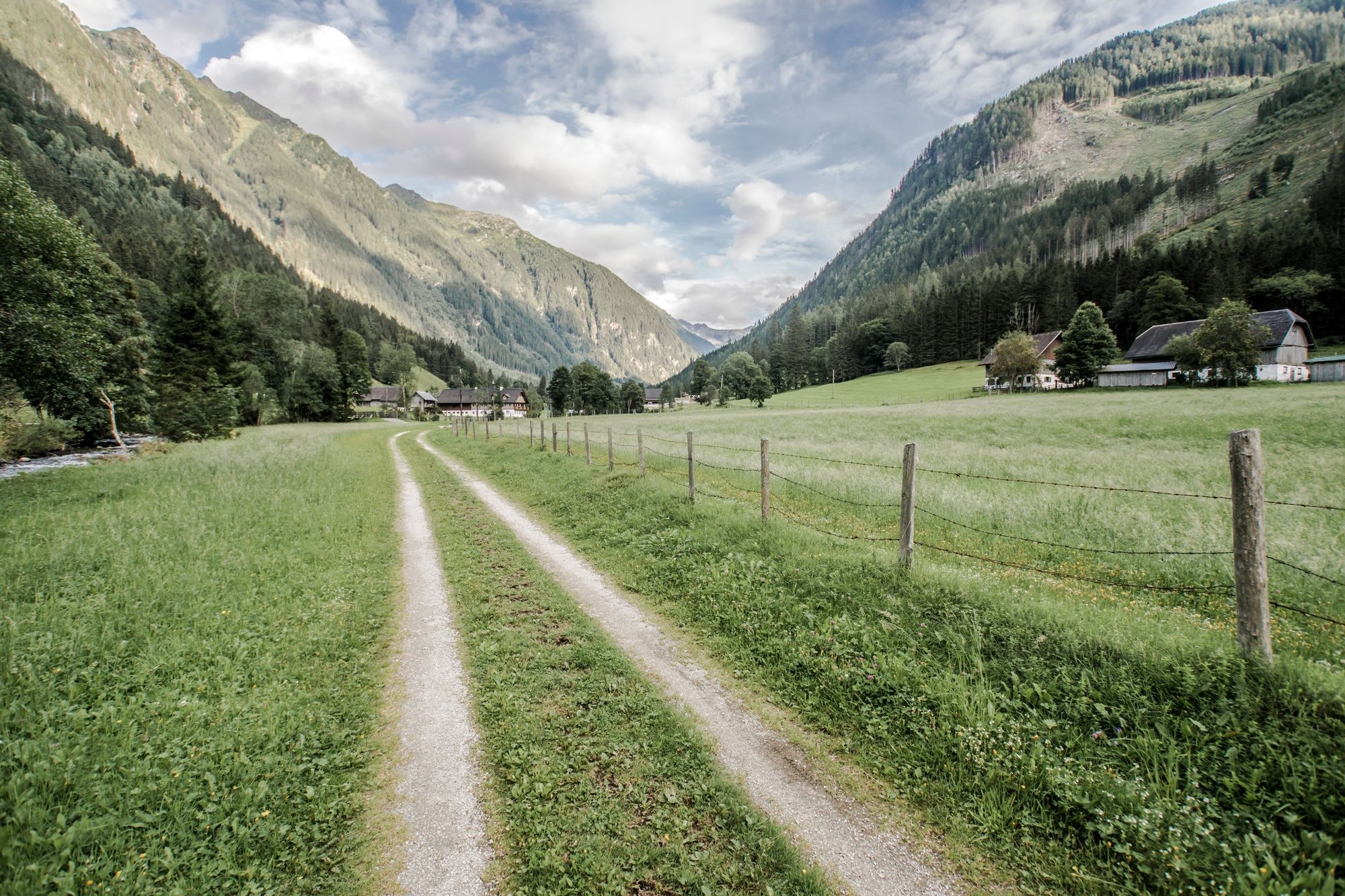
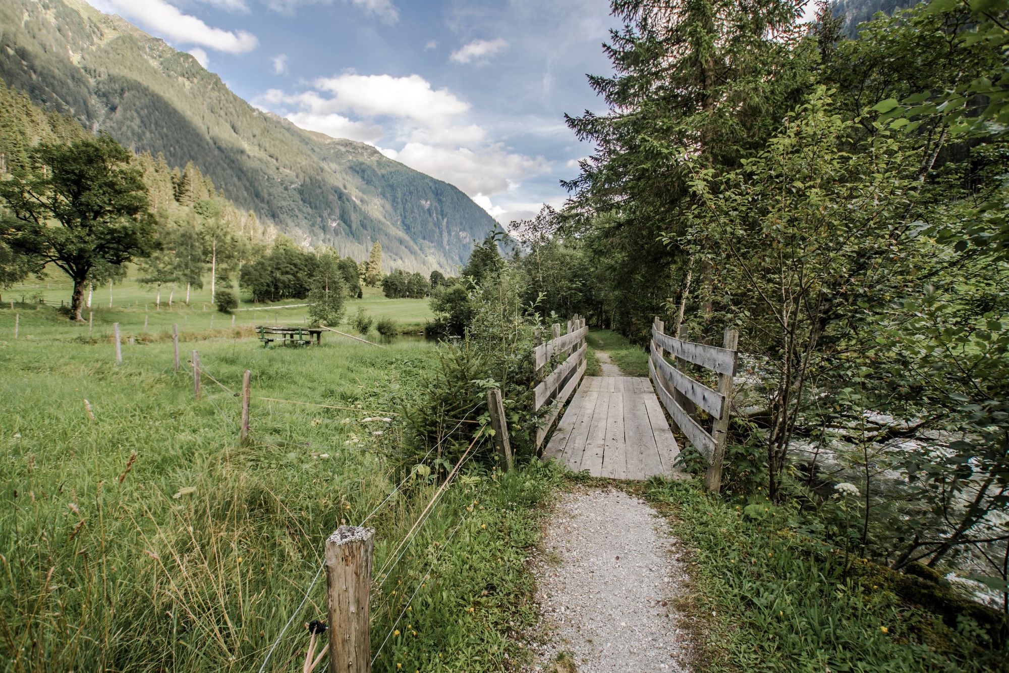
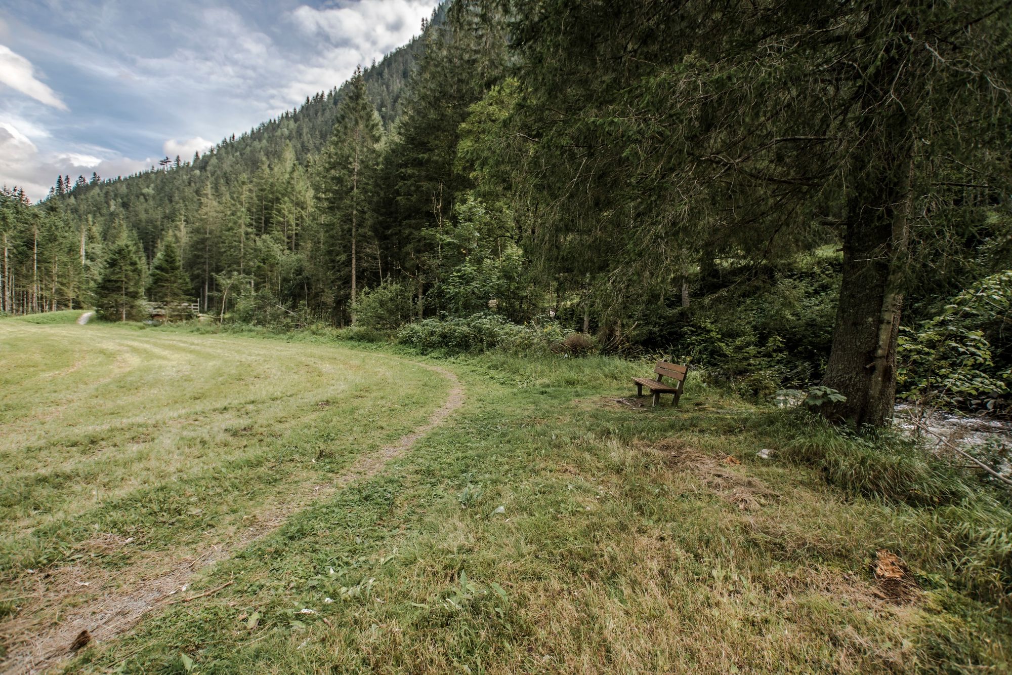
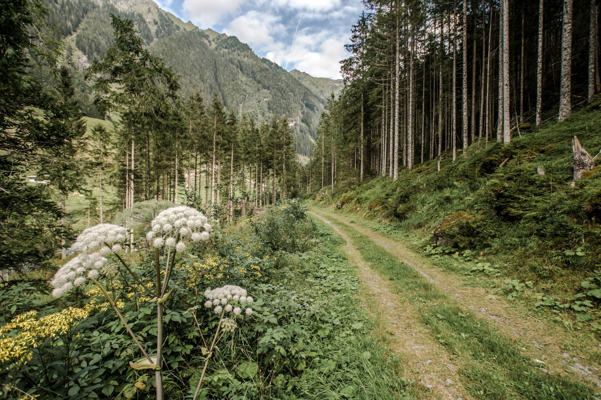
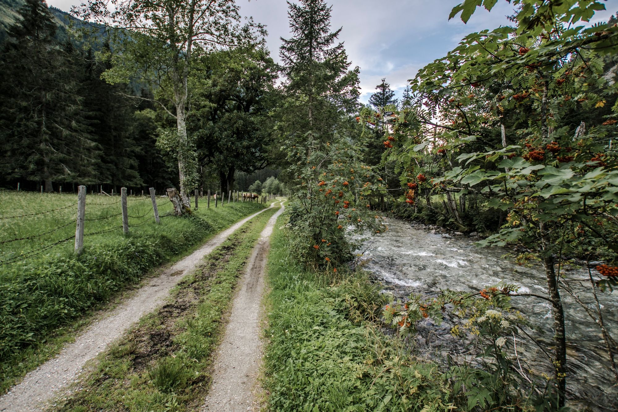
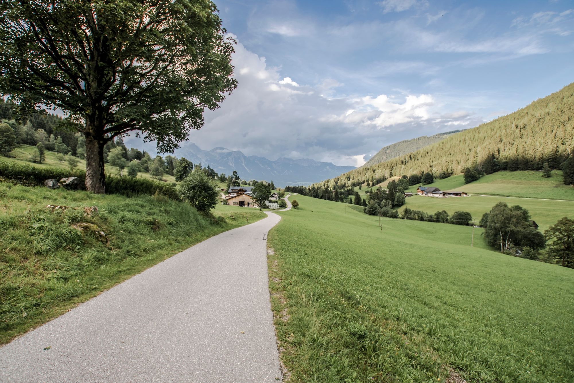
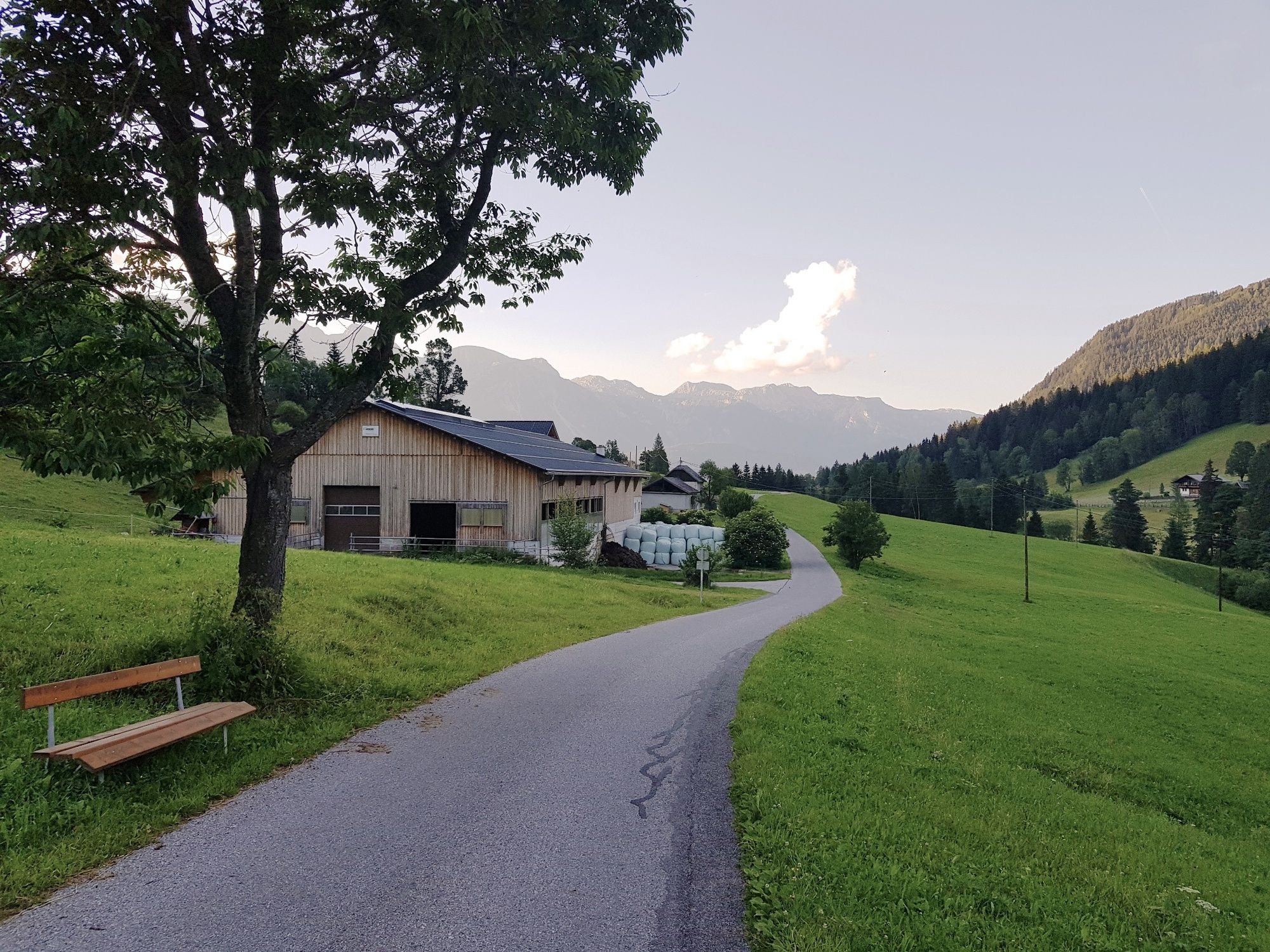
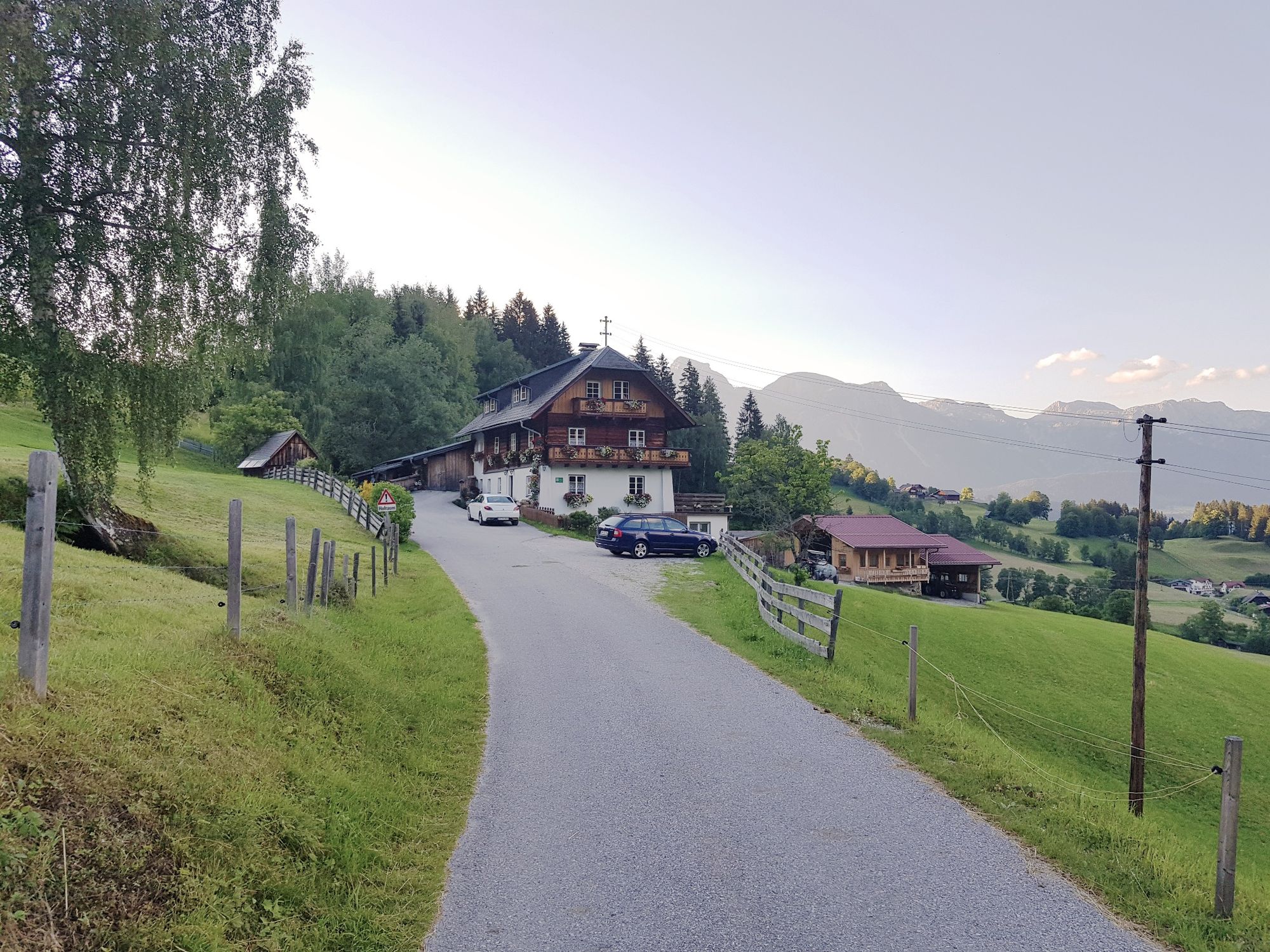
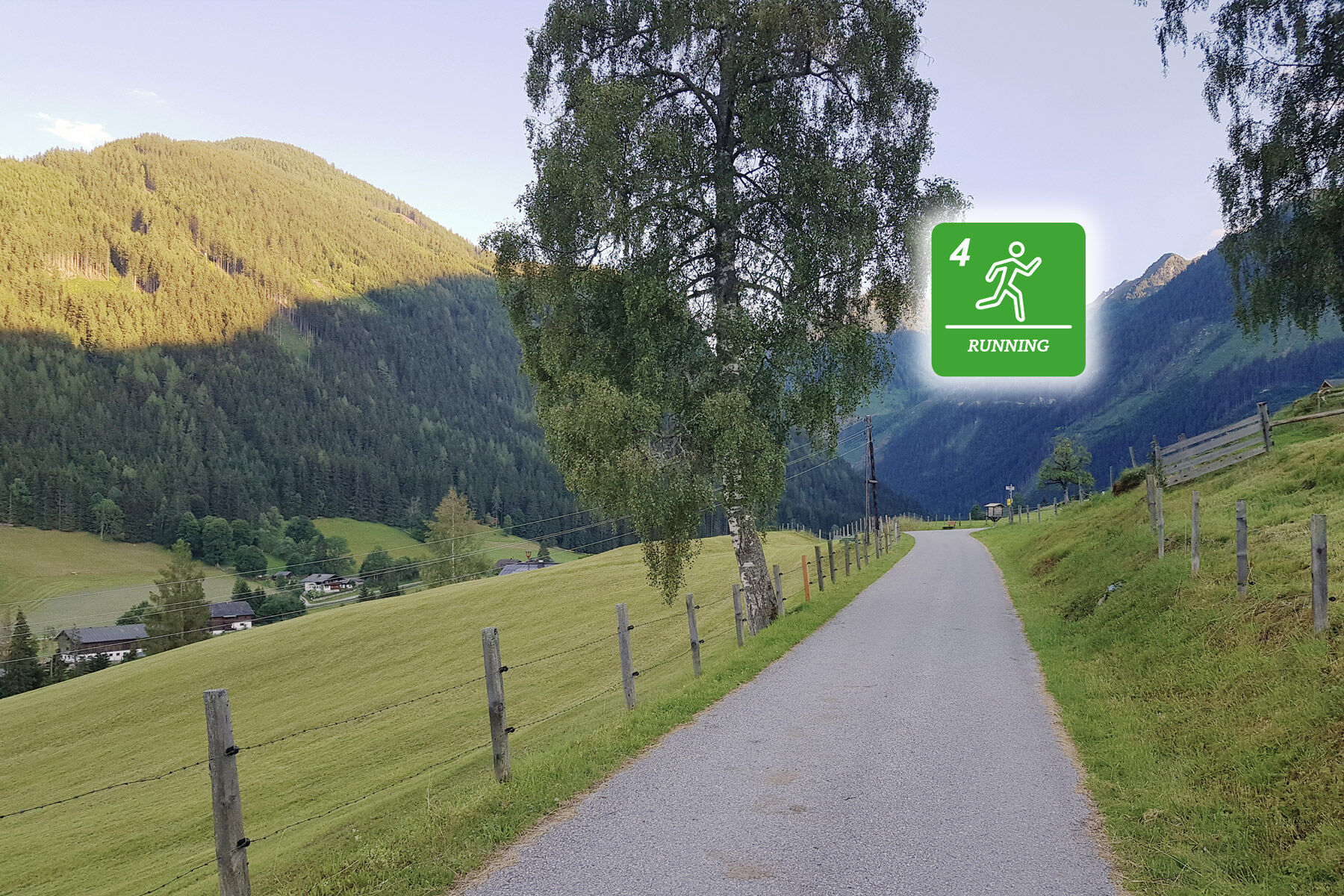
The run starts at the old sawmill at "Schwaigerweg" road and has a length of 18 kilometers with an elevation gain of 235 m. The run takes you to the valley head of Obertal valley in Hopfriesen and back.
- Dificultad
-
medio
- Valoración
-
- Ruta
-
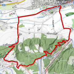
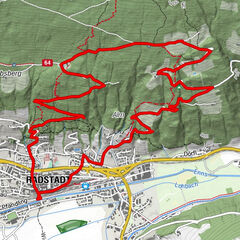
Windbacherstubn3,3 kmTauerngold9,3 kmWehrhofalm10,9 kmWindbacherstubn14,8 km
- La mejor temporada
-
enefebmarabrmayjunjulagosepoctnovdic
- Punto álgido
- 1.087 m
- Punto final
-
Schwaigerweg road, Rohrmoos
- Perfil alto
-


-

-
AutorLa gira Michael Tritscher Run es utilizado por outdooractive.com proporcionado.
GPS Downloads


Información general
Punto de avituallamiento
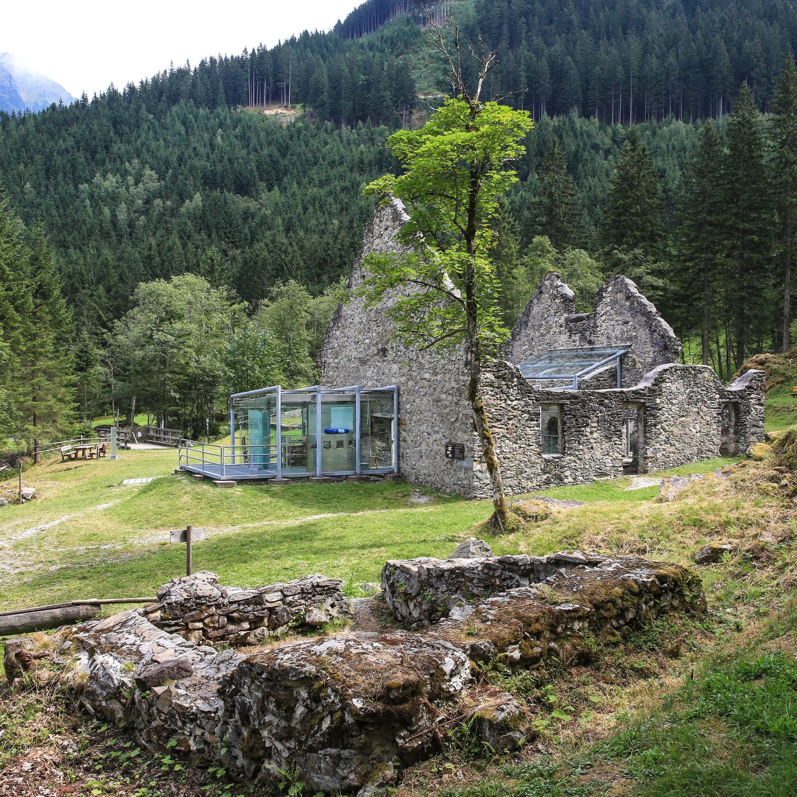
Cultural/Histórico
Más circuitos por las regiones