Etappe 14: BergZeitReise Bruck an der Mur - Mugel


© TV Hochsteiermark - Schiffer

© TV Hochsteiermark - Harry Schiffer

© TV Hochsteiermark - Steininger

© Tourismusverband Bruck an der Mur - Andreas Steininger

© TV Hochsteiermark - (c) Café Konditorei Mandl

© Tourismusverband Bruck an der Mur - Andreas Steininger

© TV Hochsteiermark - Anton Hirschmann

© Erlebnisregion Hochsteiermark

- Breve descripción
-
Stage 14 - at a glance:
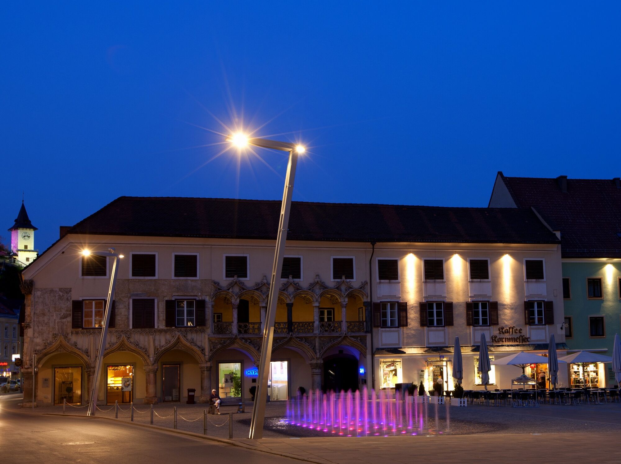
Start: Bruck an der Mur, tourist information, overnight accommodations: Tel.: +43 3862 30601, www.tourismus-bruckmur.at
Cab services: Fa. Strunz Tel.: +43 3862 55666, Express Taxi Tel.: +43 3862 51666, Taxi Gombotz Tel.: +43 3862 24990 GPS grid N 47° 24' 36,0" O 15° 16' 10,5" Destination / place to stay overnight: Schutzhaus auf der Mugel, Tel.: +43 650 6828798
GPS grid N 47° 21' 31,0" O 15° 11' 17,8"
Stage length: 16.5 kilometers
Total walking time (without breaks): 6 ½ hours
Vertical meters ascent: 1,510 vertical meters
Meters of altitude descent: 380 meters of altitude
Difficulties: none
- Dificultad
-
medio
- Valoración
-
- Ruta
-
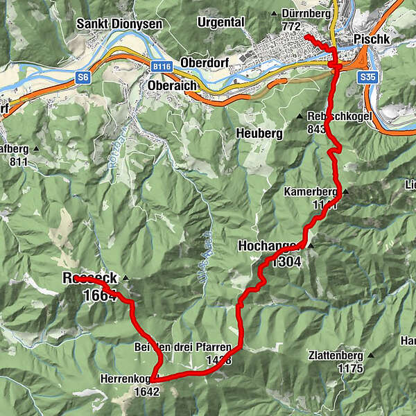
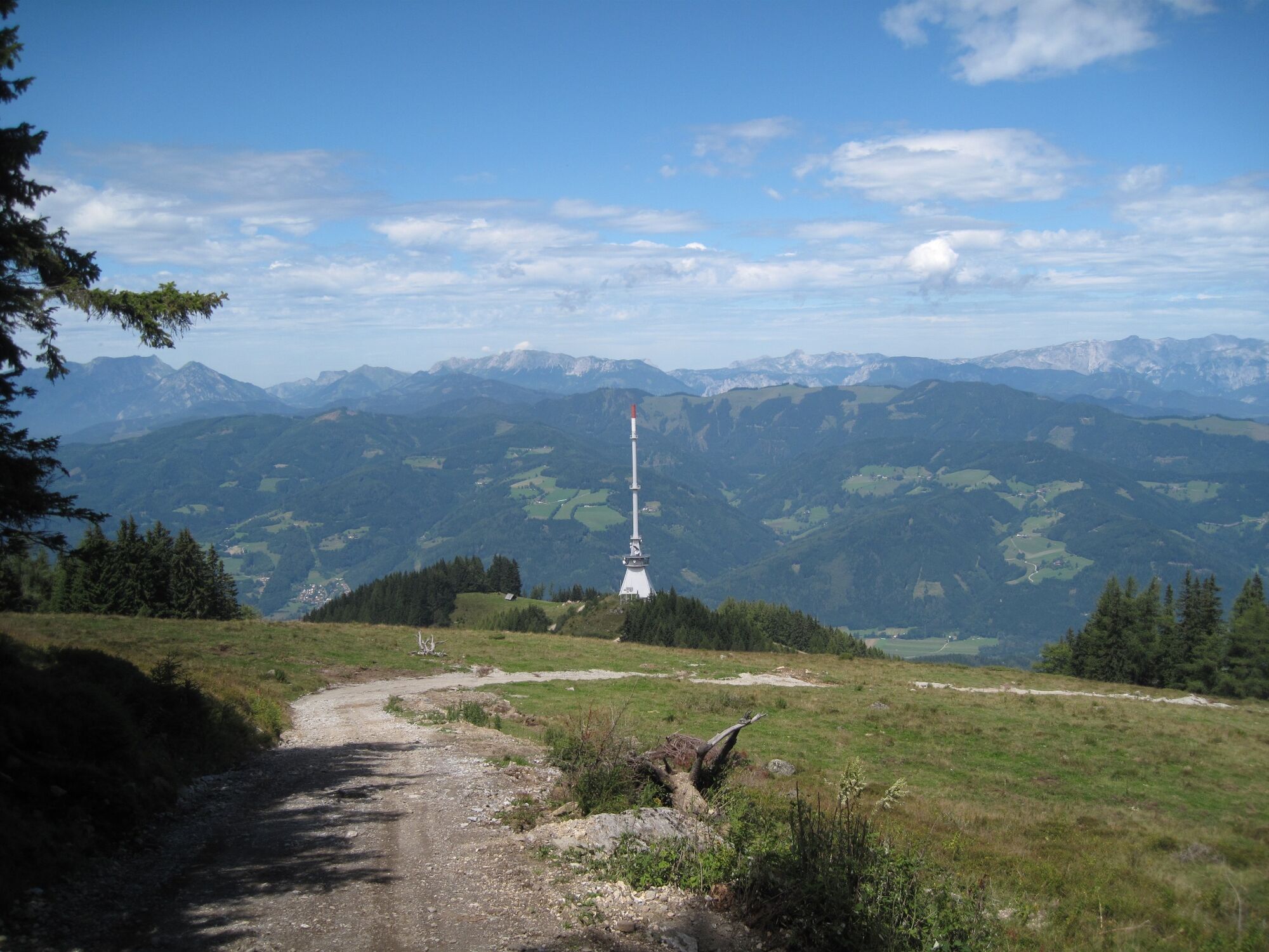
Stadtpfarrkirche Mariä Geburt0,3 kmBruck an der Mur0,7 kmWiener Vorstadt1,0 kmWeitental2,1 kmHerrnkogel (1.282 m)6,9 kmHochangerschutzhaus7,4 kmEisenpass (1.182 m)10,4 kmBei den drei Pfarren (1.428 m)11,5 kmHerrenkogel (1.642 m)13,5 kmTrasattel (1.304 m)15,8 kmMugel (1.630 m)17,9 km
- La mejor temporada
-
enefebmarabrmayjunjulagosepoctnovdic
- Punto álgido
- 1.640 m
- Punto final
-
Mugel Schutzhaus
- Perfil alto
-


-
-
AutorLa gira Etappe 14: BergZeitReise Bruck an der Mur - Mugel es utilizado por outdooractive.com proporcionado.
GPS Downloads


Información general
Punto de avituallamiento
Cultural/Histórico
Fauna
Vistas panorámicas
Más circuitos por las regiones
-
Erlebnisregion Graz
2783
-
Bruckmur-Kapfenberg
1500
-
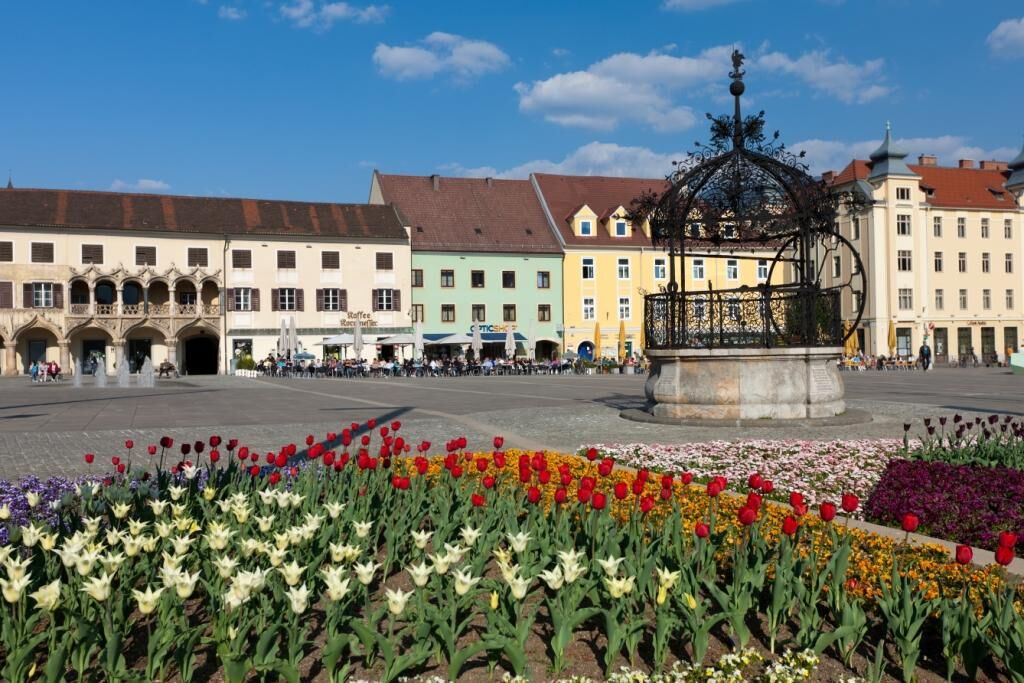
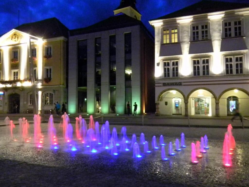
Bruck an der Mur
338