Winter hiking at the Arthurhaus

Senderismo de invierno


- Breve descripción
-
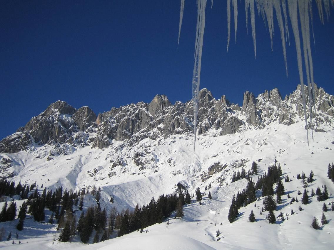
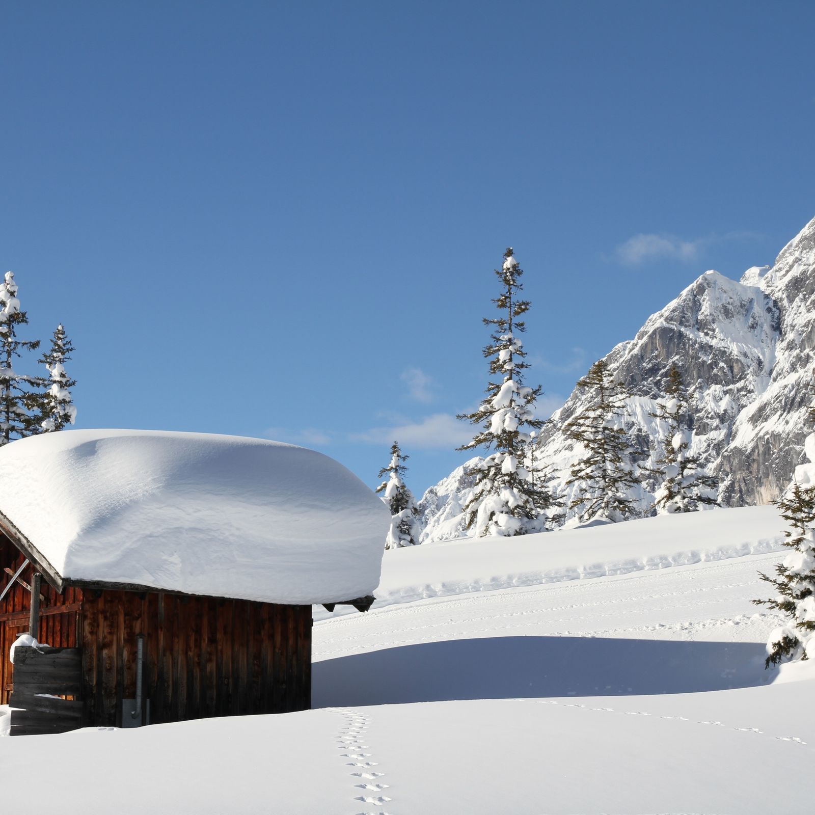
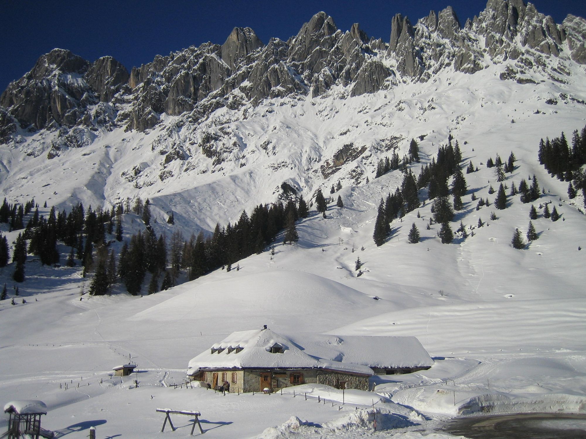
Winter hiking along the cross-country skiing trail in the ski area Hochkeil!
- Dificultad
-
fácil
- Valoración
-
- Ruta
-
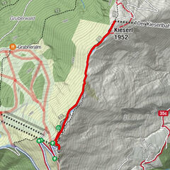
Arthurhaus0,0 kmMitterbergsattel (1.515 m)0,2 km
- La mejor temporada
-
agosepoctnovdicenefebmarabrmayjunjul
- Punto álgido
- 1.562 m
- Punto final
-
Berghotel Arthurhaus
- Perfil alto
-


- Autor
-
La gira Winter hiking at the Arthurhaus es utilizado por outdooractive.com proporcionado.
GPS Downloads


Información general
Punto de avituallamiento
Vistas panorámicas
Más circuitos por las regiones