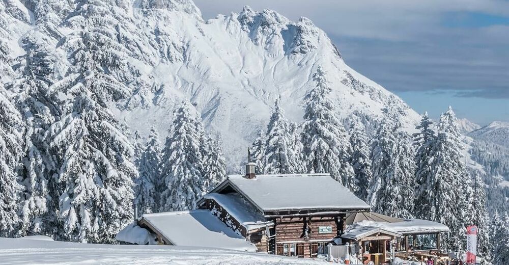
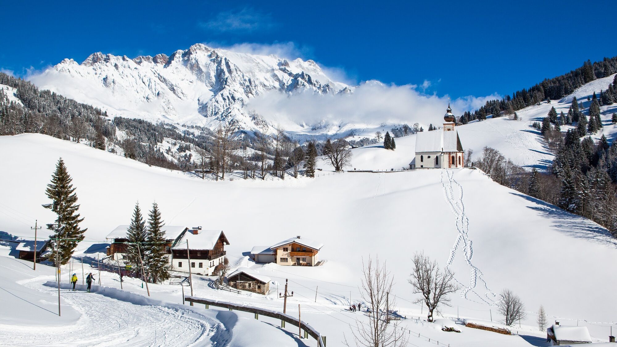
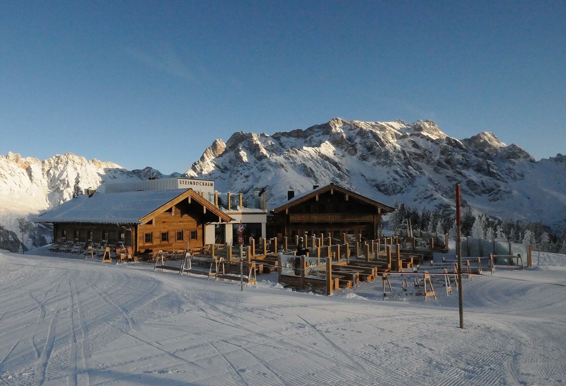
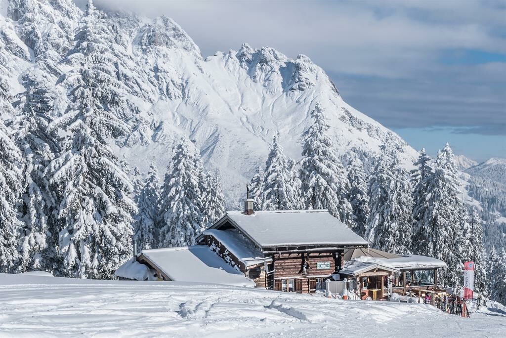
Winter hiking from Dienten to the Steinbockalm

Senderismo de invierno


- Breve descripción
-
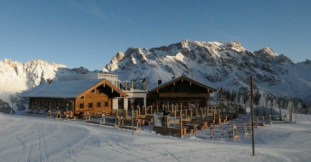
Fantastic winter hike to the Steinbockalm.
Enjoy the peace and quiet of nature and treat yourself to a culinary highlight at the Steinbockalm! - Dificultad
-
medio
- Valoración
-
- Ruta
-
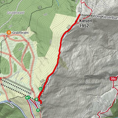
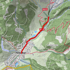
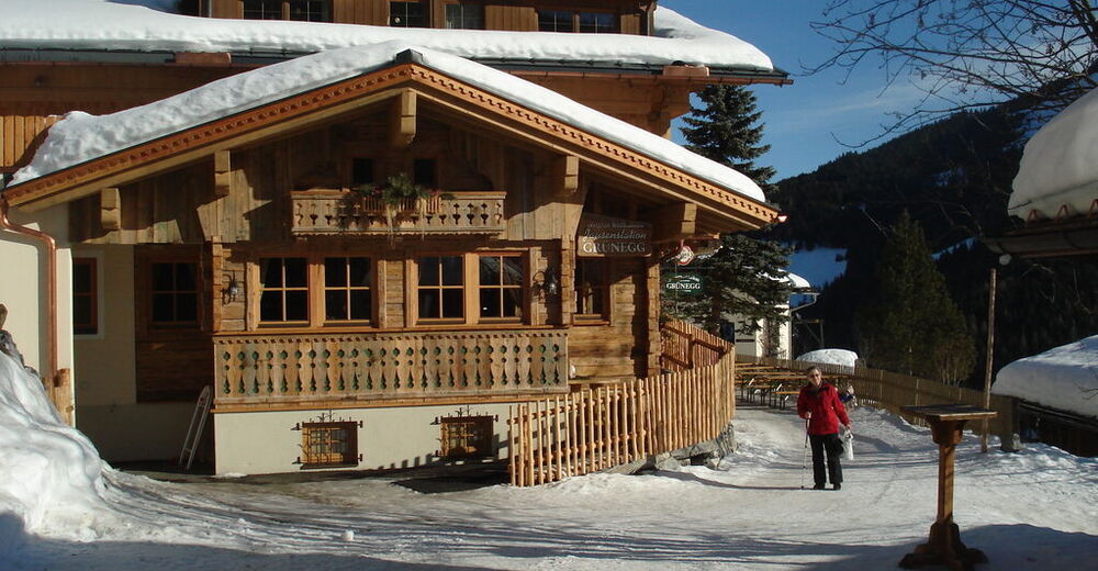
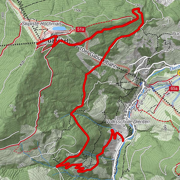
Dienten am Hochkönig0,1 kmGrünegg Alm1,3 kmSINALCObahn7,2 kmSteinbockalm7,2 kmGabühel (1.632 m)7,2 kmHochmais7,3 km
- La mejor temporada
-
agosepoctnovdicenefebmarabrmayjunjul
- Punto álgido
- 1.628 m
- Punto final
-
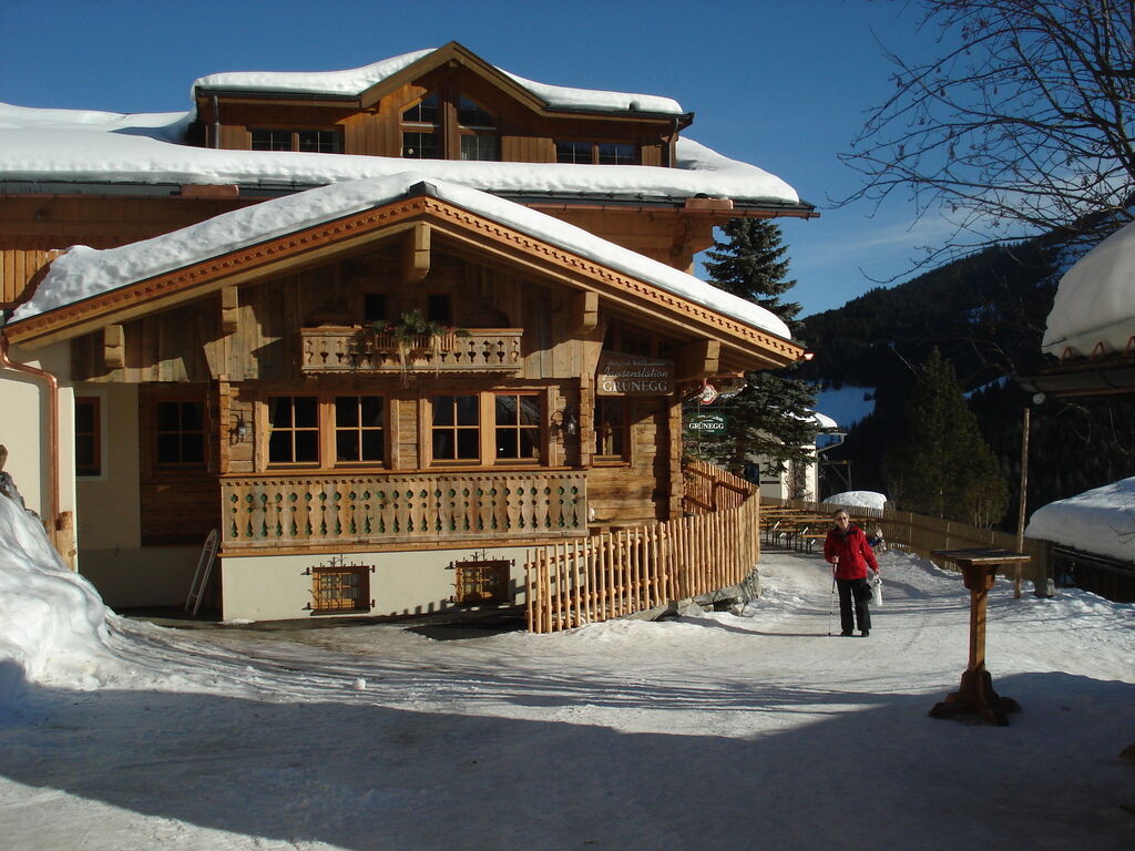
Gabühelhütte/ Steinbockalm
- Perfil alto
-


- Autor
-
La gira Winter hiking from Dienten to the Steinbockalm es utilizado por outdooractive.com proporcionado.
GPS Downloads


Información general
Punto de avituallamiento
Vistas panorámicas
Más circuitos por las regiones
-
Hochkönig
143
-
Dienten am Hochkönig
50