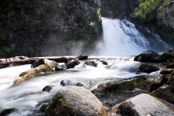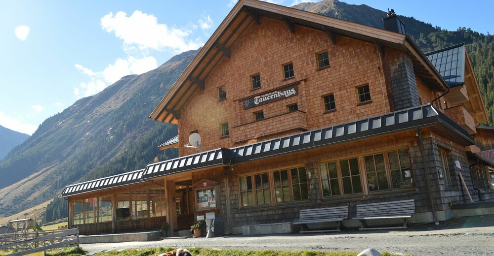
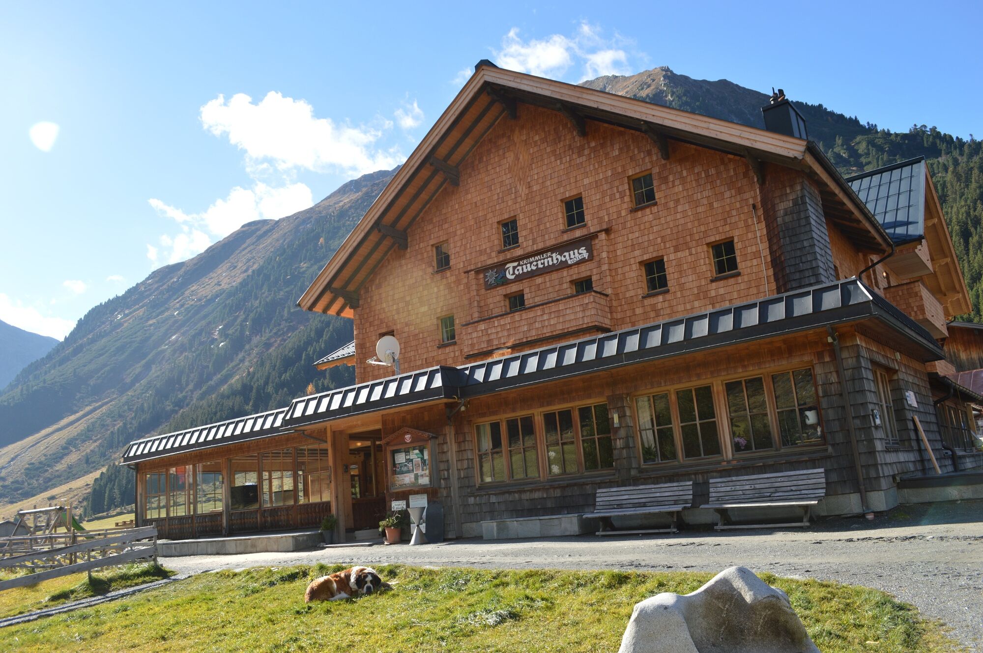
© Krimmler Tauernhaus


Datos del tour
18,4km
1.593
- 2.598m
894hm
927hm
06:30h

- Breve descripción
-
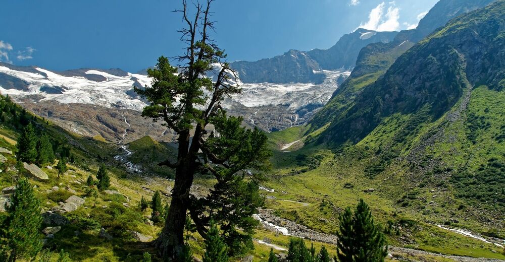
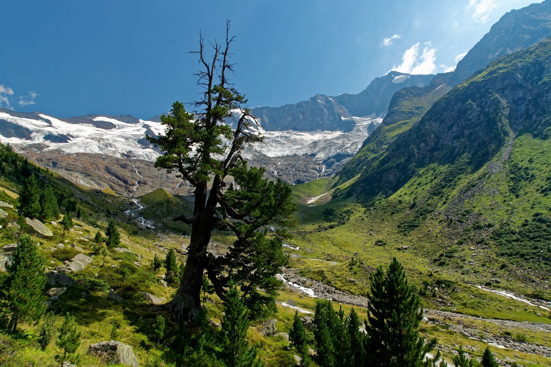
A historic past from Austria over the Krimmler Tauern range to South Tyrol.
- Dificultad
-
difícil
- Valoración
-
- Ruta
-
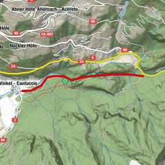
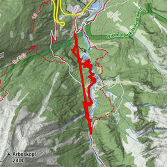
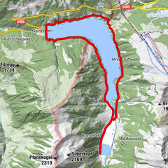
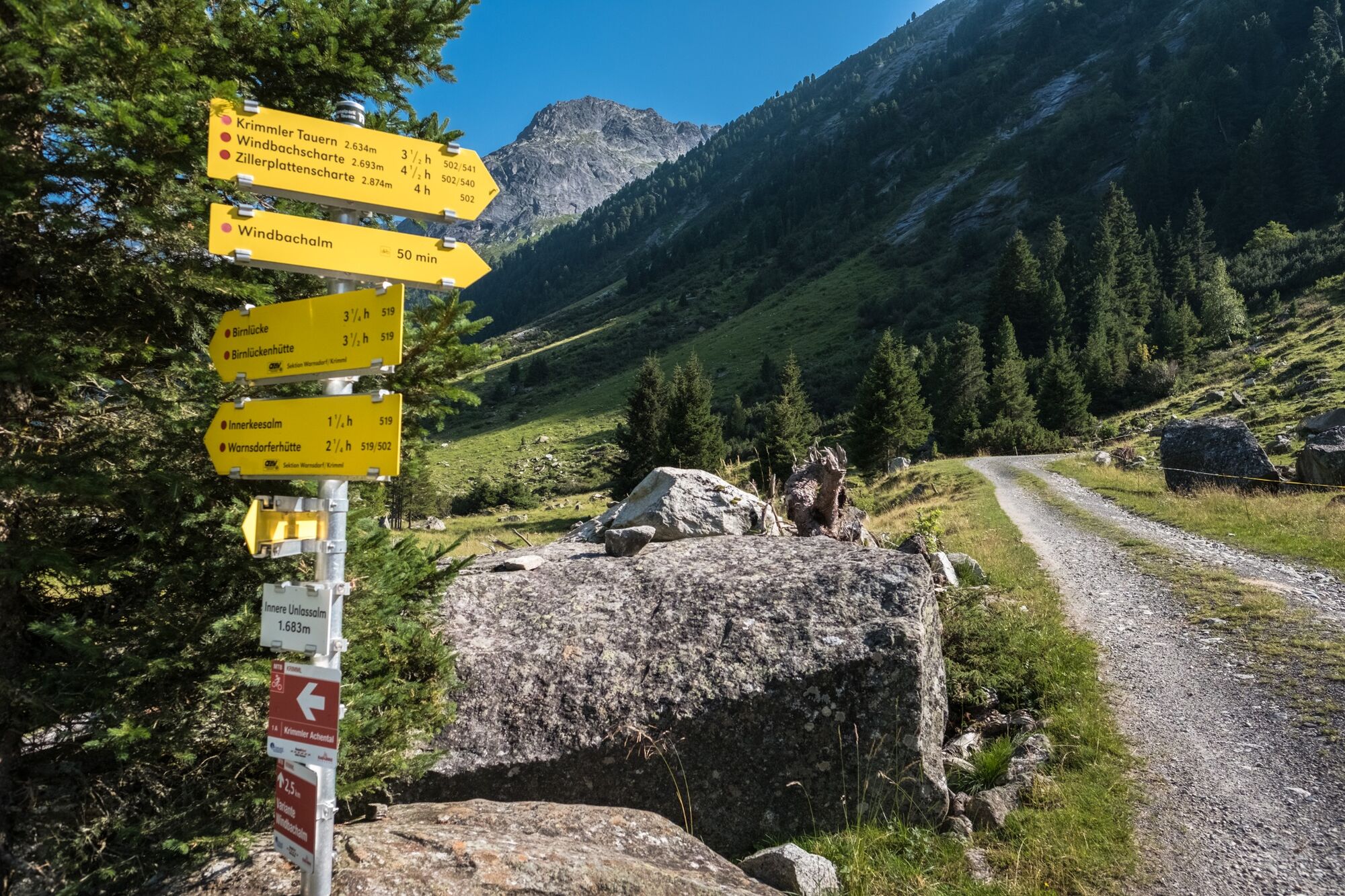
Krimmler Tauernhaus0,0 kmSommerlehenalm0,3 kmFoißgemäueralm0,9 kmHintereggalm1,1 kmKesserlalm1,3 kmAlbl1,6 kmAußerunlaßalm1,8 kmWindbachtal4,6 kmTauernalm13,6 kmUntere Tauernalm14,8 kmAdler Alm15,7 kmJagerhütte15,8 kmTalschlusshütte Heilig Geist17,1 kmJausenstation Prastmann17,2 kmKasern18,3 km
- La mejor temporada
-
enefebmarabrmayjunjulagosepoctnovdic
- Punto álgido
- 2.598 m
- Punto final
-
Kasern im Ahrntal
- Perfil alto
-


- Autor
-
La gira Krimmler Tauern (pass) es utilizado por outdooractive.com proporcionado.
GPS Downloads


Información general
Cultural/Histórico
Secreto
Vistas panorámicas
Más circuitos por las regiones