© Piesendorf Niedernsill - Tourismusverband Piesendorf Niedernsill
- Breve descripción
-
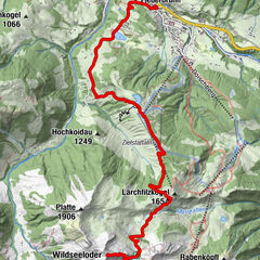
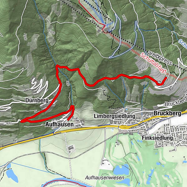
A panoramic and family-friendly hike from Aufhausen to the Schober Alm.
- Dificultad
-
fácil
- Valoración
-
- Ruta
-
Filialkirche St. LeonhardAufhausen0,5 kmDürnberg1,2 kmSchober-Alm3,9 km
- La mejor temporada
-
enefebmarabrmayjunjulagosepoctnovdic
- Punto álgido
- 1.098 m
- Punto final
-
Schober Alm
- Perfil alto
-

-

-
AutorLa gira Piesendorf/Aufhausen: Schober Alm es utilizado por outdooractive.com proporcionado.
GPS Downloads


Información general
Punto de avituallamiento
Vistas panorámicas
Más circuitos por las regiones
-
Zell am See - Kaprun
1504
-
Schmittenhöhe
522