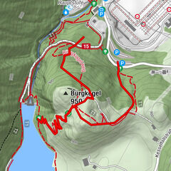
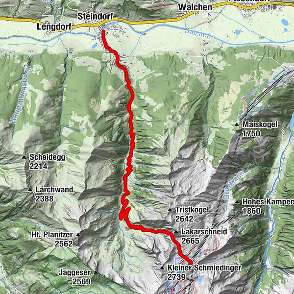
Lakarscharte vom Alpincenter ins Mühlbachtal

Senderismo

© Piesendorf Niedernsill - Harry Liebmann

© Tourismusverband Piesendorf Niedernsill - Ferienregion Nationalpark Hohe Tauern - Tourismusverband Piesendorf Niedernsill

© Piesendorf Niedernsill - Harry Liebmann
- Breve descripción
-
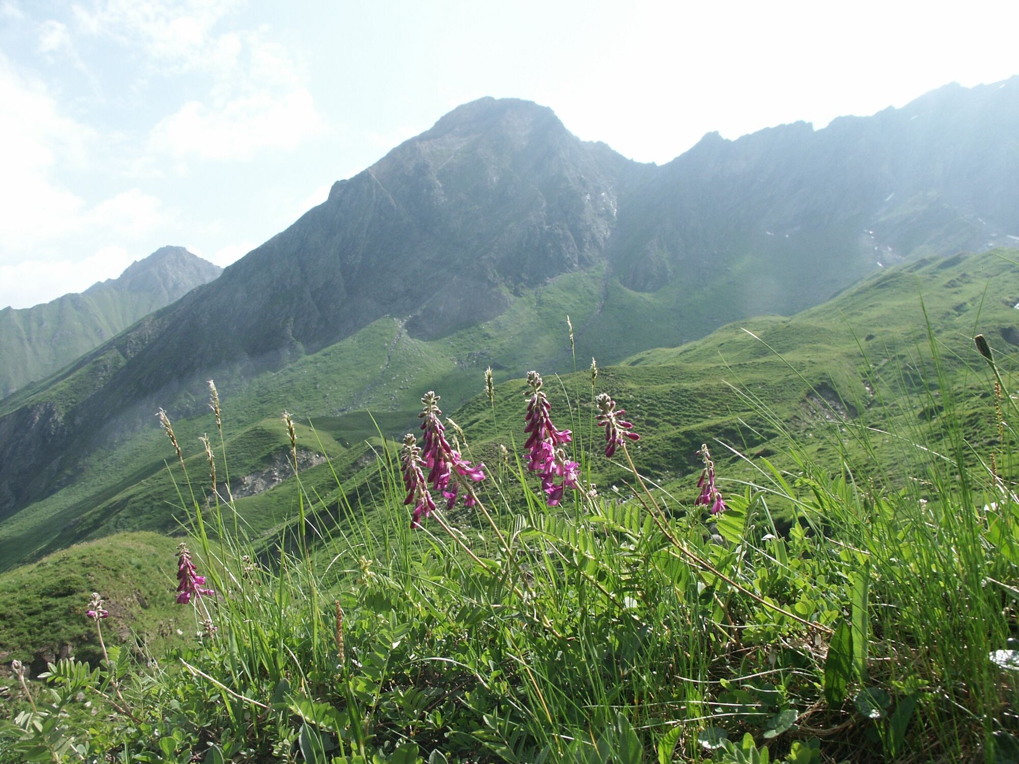
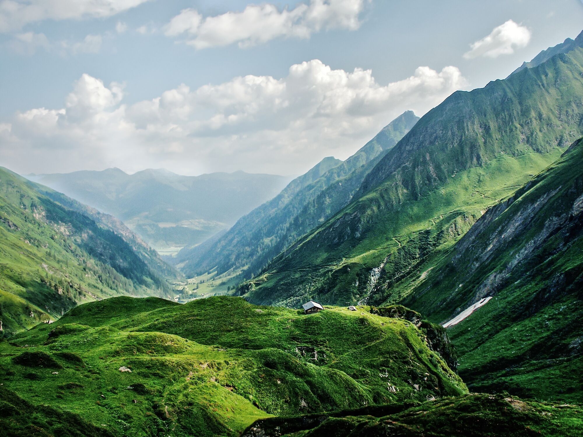
A true landscape delight: After a panoramic ascent with the cable car to the Alpincenter on the Kitzsteinhorn, you hike through the beautiful Mühlbachtal valley.
- Dificultad
-
medio
- Valoración
-
- Ruta
-
GletschermühleLangwiedbahn (2.453 m)0,0 kmLakarscharte (2.488 m)1,2 kmSchaunbergalm5,9 kmCafe Zur Pinzgauerin13,4 kmPfarrkirche hl. Luzia13,6 kmNiedernsill13,9 km
- La mejor temporada
-
enefebmarabrmayjunjulagosepoctnovdic
- Punto álgido
- 2.487 m
- Punto final
-
Niedernsill
- Perfil alto
-

-

-
AutorLa gira Lakarscharte vom Alpincenter ins Mühlbachtal es utilizado por outdooractive.com proporcionado.
GPS Downloads


Información general
Punto de avituallamiento
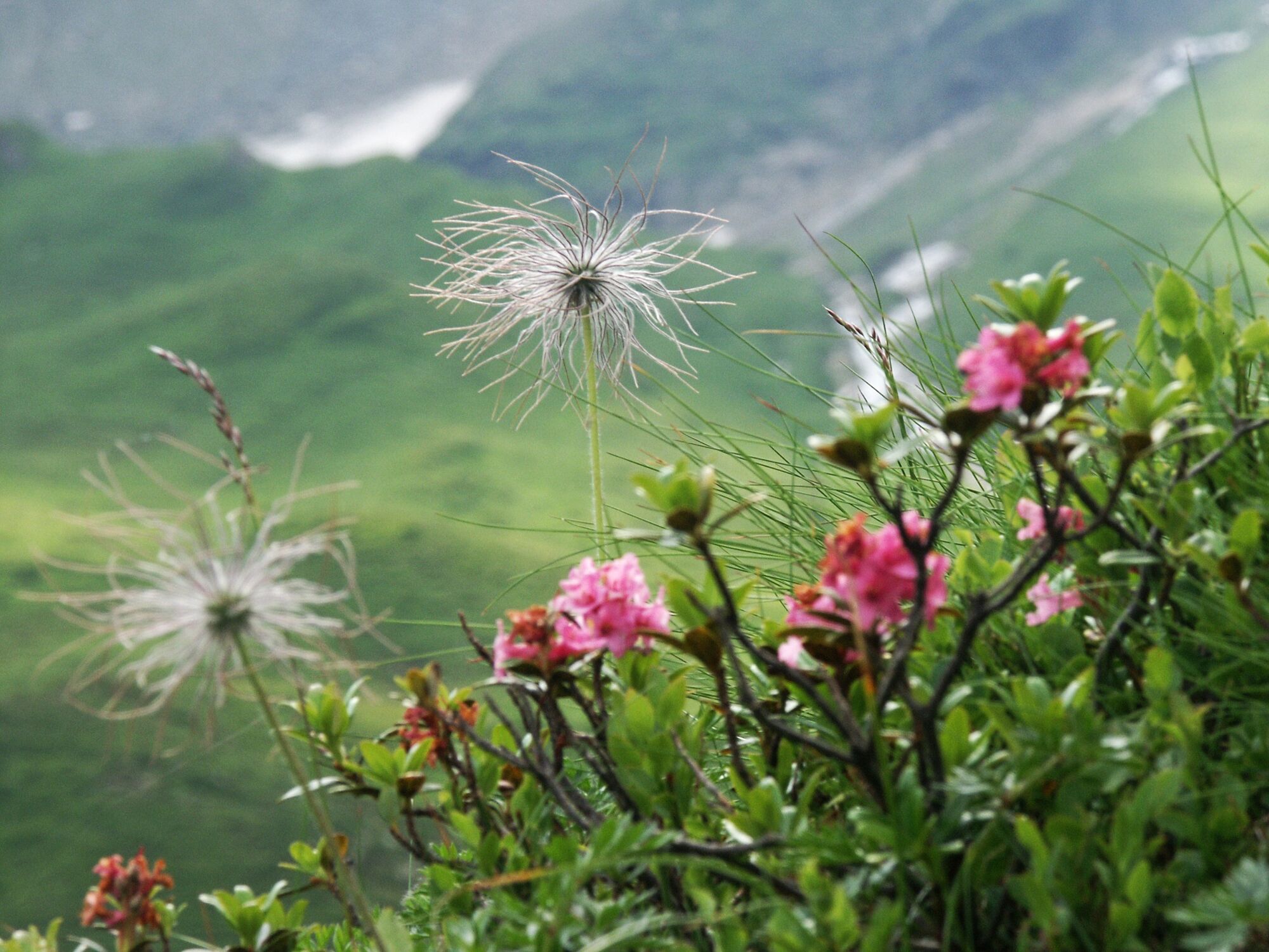
Flora
Fauna
Vistas panorámicas
Más circuitos por las regiones