


Datos del tour
5,1km
1.086
- 2.446m
1.342hm
06:00h
- Breve descripción
-
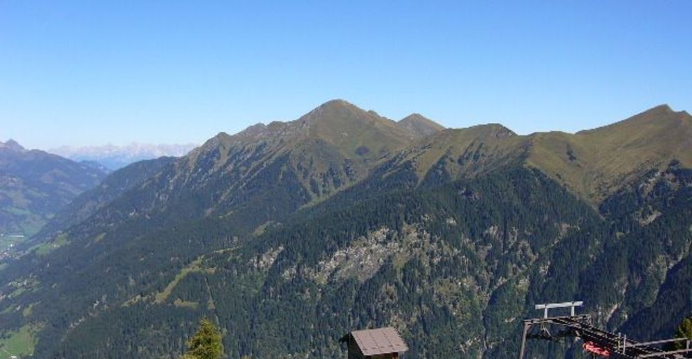
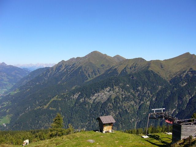
Wunderschöne Wanderung auf einen der Hausberge Bad Gasteins
- Dificultad
-
medio
- Valoración
-
- Punto de salida
-
Graukogellift Talstation Bad Gastein
- Ruta
-
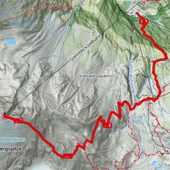
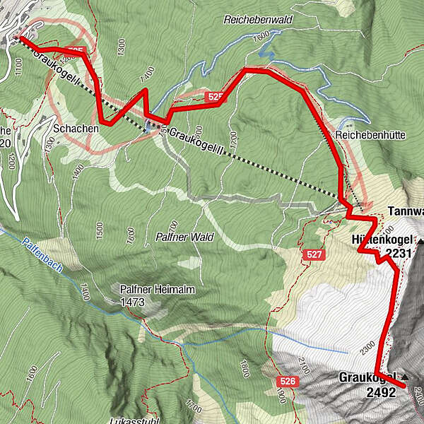
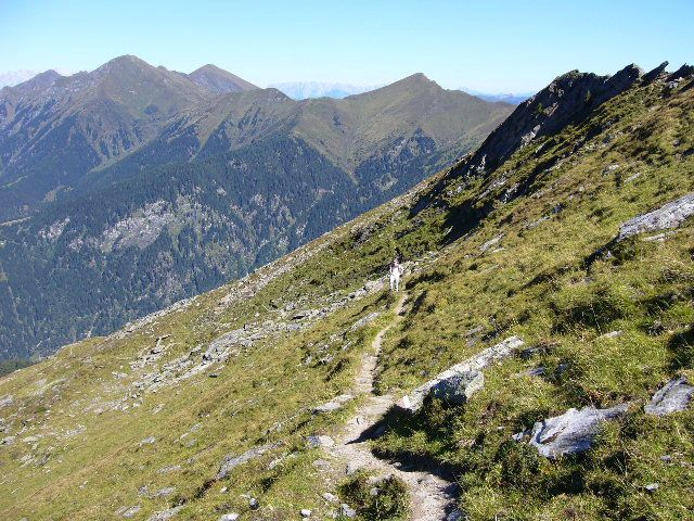
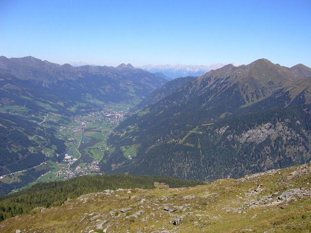
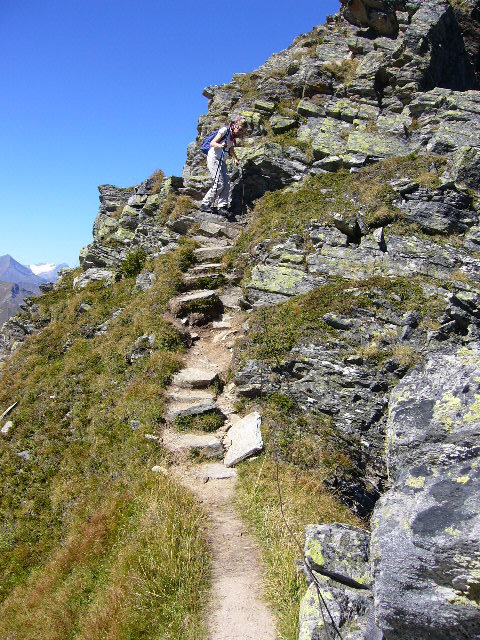
Bad GasteinGraukogel Bergstation3,2 kmGraukogelhütte3,2 kmGraukogel II (1.956 m)3,3 kmVinzenzkapelle3,3 kmGraukogel (2.492 m)4,9 km
- La mejor temporada
-
enefebmarabrmayjunjulagosepoctnovdic
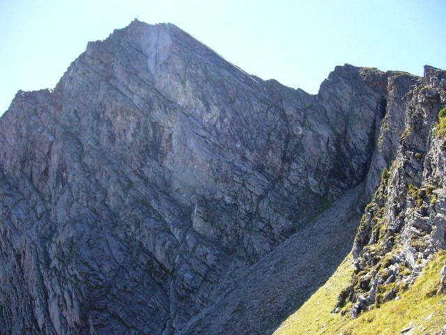
- Punto álgido
- 2.446 m
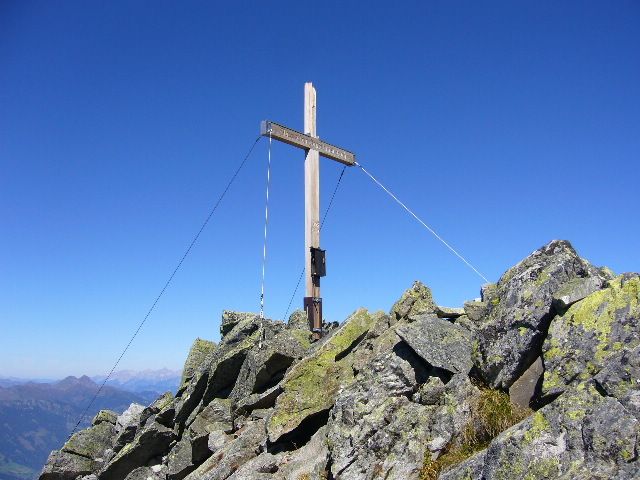
- Punto final
-
Graukogelgipfel 2492m
- Descanso/Avituallamiento
-
Bei der Talstation gibts eine Imbissbude,bei der Mittelstaton eine Hütte,und an der Bergstation die Graukogelhütte
- Material cartográfico
-
freytag&berndt WK191


GPS Downloads


Superficie de carretera
Asfalto
Gravilla
Pradera
Bosque
Roca
Expuesto
Más circuitos por las regiones