Auf die Pillsteinhöhe über die Schafbachalm

Senderismo


- Breve descripción
-
Vom Parkplatz Keflau über die Schafbachalm auf die Pillsteinhöhe. (Ausgangspunkt für die große Illingeralm-Runde)
- Dificultad
-
medio
- Valoración
-
- Ruta
-
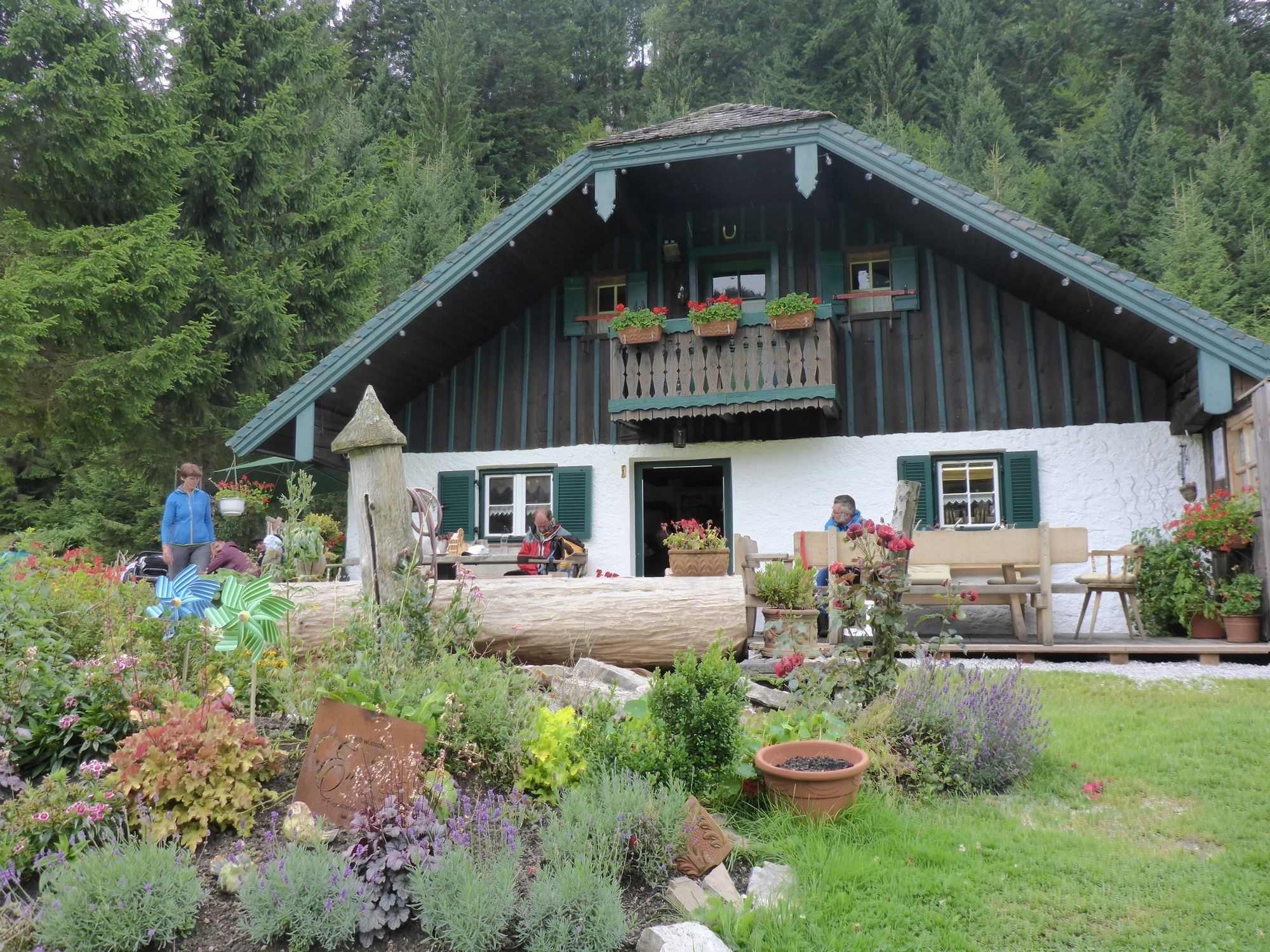
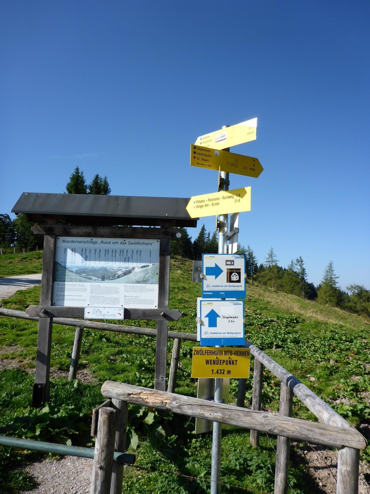
Schafbachalm2,3 kmPillsteinhöhe (1.478 m)6,5 kmPillsteinalm7,6 kmSchafbachalm10,6 km
- La mejor temporada
-
enefebmarabrmayjunjulagosepoctnovdic
- Punto álgido
- 1.463 m
- Punto final
-
Parkplatz Streitberg / Keflau
- Perfil alto
-


-

-
AutorLa gira Auf die Pillsteinhöhe über die Schafbachalm es utilizado por outdooractive.com proporcionado.
GPS Downloads


Información general
Punto de avituallamiento
Vistas panorámicas
Más circuitos por las regiones


