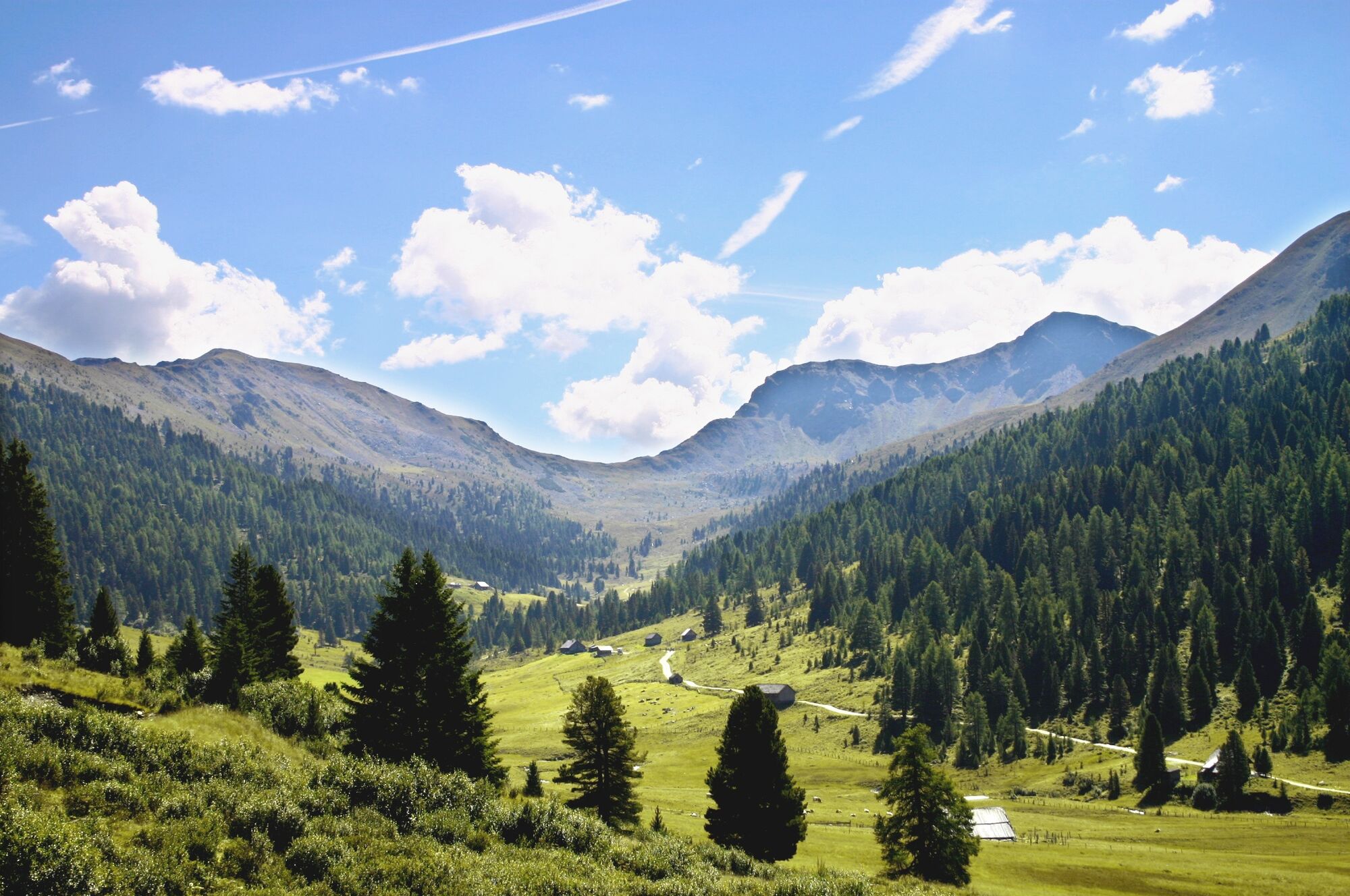
Schönfeld, Schilcher- und Klölingnock im Biosphärenpark Nockberge

Senderismo

© Region Katschberg Lieser-Maltatal - Michaela Isola

© Region Katschberg Lieser-Maltatal - Michaela Isola

© Region Katschberg Lieser-Maltatal - Michaela Isola


- Breve descripción
-
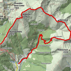
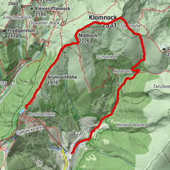
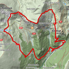
Ausgehend von Schönfeld begeben wir uns in eine abwechslungsreiche Gegend der "Nocken".
- Dificultad
-
medio
- Valoración
-
- Ruta
-
Klöllingscharte (2.116 m)2,7 kmKlölingnock (2.178 m)4,2 kmSchilchernock (2.270 m)5,5 km
- La mejor temporada
-
enefebmarabrmayjunjulagosepoctnovdic
- Punto álgido
- 2.237 m
- Punto final
-
Parkplatz Schönfeld
- Perfil alto
-

- Autor
-
La gira Schönfeld, Schilcher- und Klölingnock im Biosphärenpark Nockberge es utilizado por outdooractive.com proporcionado.
GPS Downloads


Información general
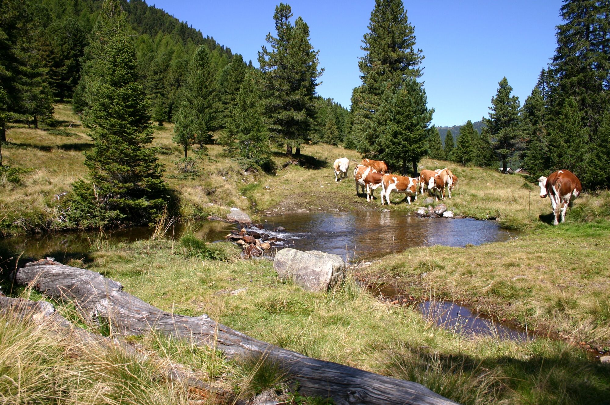
Fauna
Vistas panorámicas
Más circuitos por las regiones