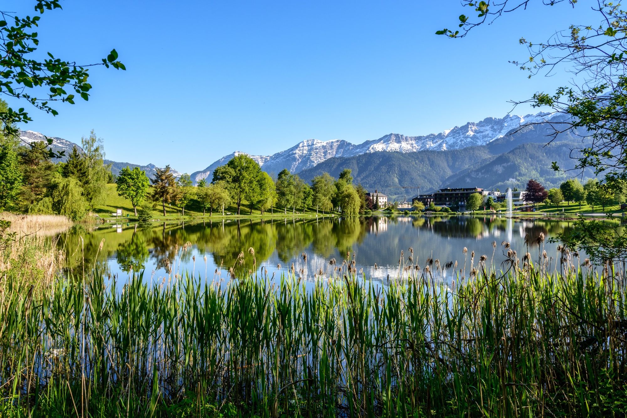
© (c) Peter Kühnl - Saalfelden Leogang

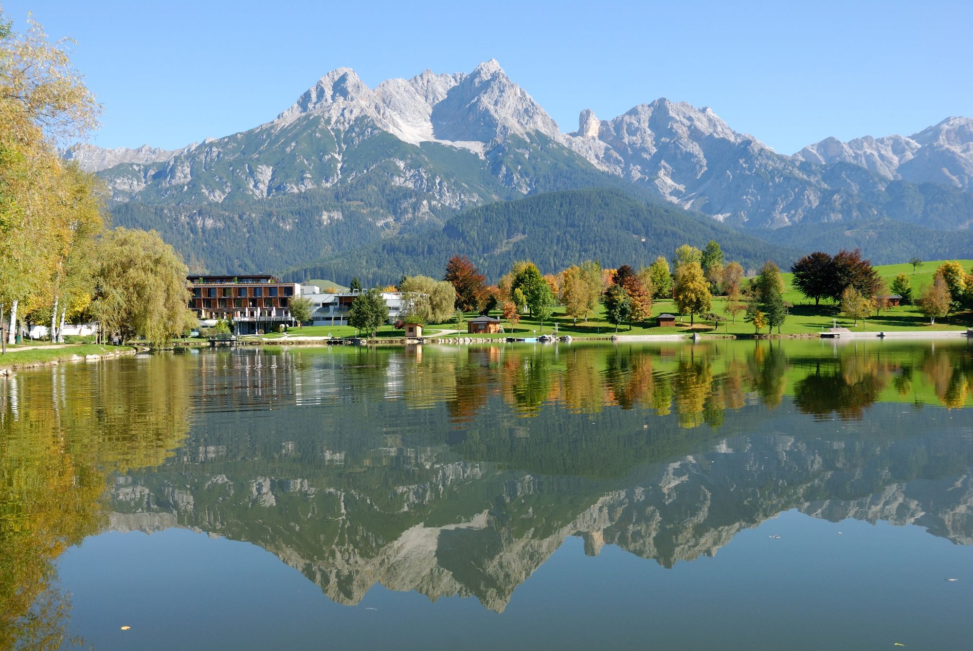
© Saalfelden Leogang Touristik GmbH - Saalfelden Leogang

© Saalfelden Leogang Touristik GmbH - Saalfelden Leogang

© Saalfelden Leogang Touristik GmbH - Michael Geißler

- Breve descripción
-
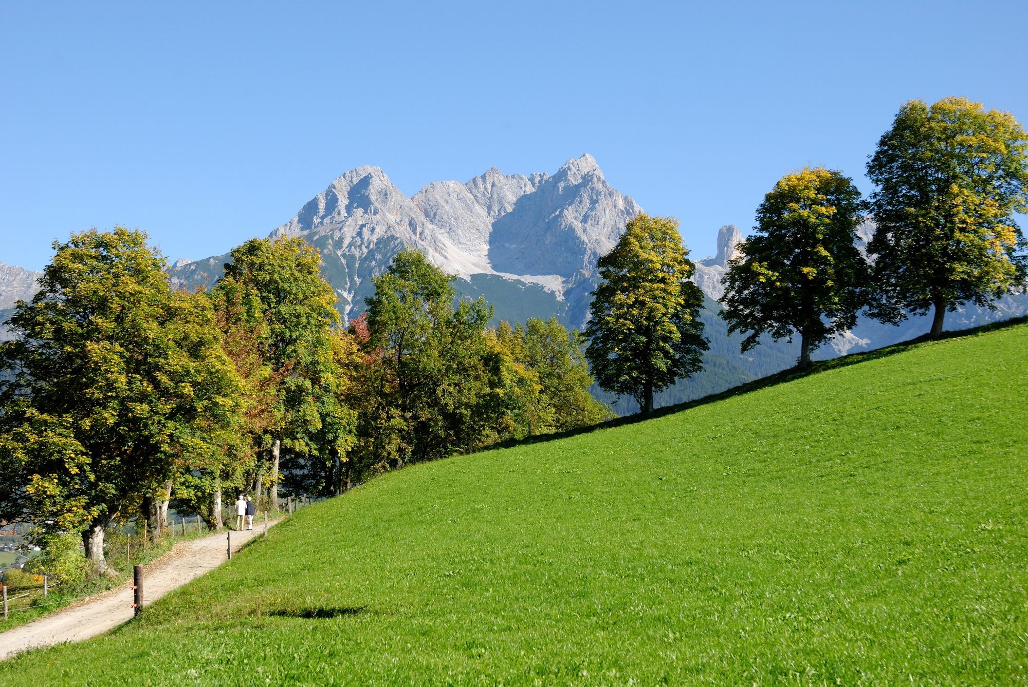
Easy hike with stunning view of the mountain ranges of Leogang and Saalfelden as well as the Hochkönig mountains
- Dificultad
-
fácil
- Valoración
-
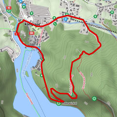
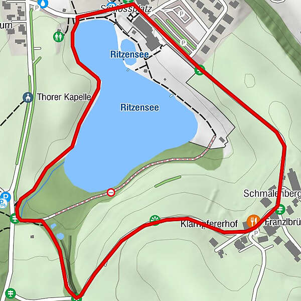
- Ruta
-
ThorFranzlbrünnl-Stubn1,1 kmSchmalenbergham1,2 kmSaalfelden am Steinernen Meer (748 m)1,9 km
- La mejor temporada
-
enefebmarabrmayjunjulagosepoctnovdic
- Punto álgido
- 801 m
- Punto final
-
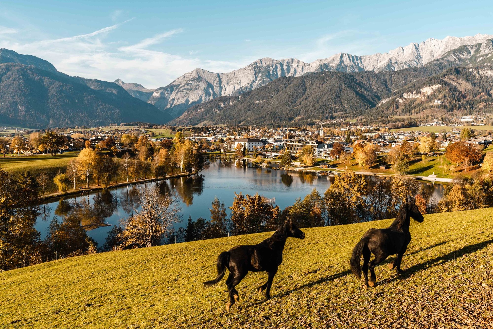
Seeufer Ritzensee Saalfelden
- Perfil alto
-

-

-
AutorLa gira Lake Ritzensee Circular Trail es utilizado por outdooractive.com proporcionado.
GPS Downloads


Información general
Punto de avituallamiento
Vistas panorámicas
Más circuitos por las regiones
-
Saalfelden - Leogang
1814
-
Saalfelden
466