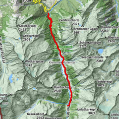
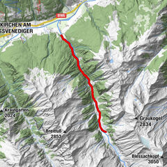
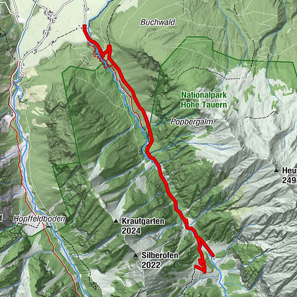
Neukirchen: Untersulzbachtal

Logotipo Neukirchen: Untersulzbachtal
Datos del tour
6,74km
849 - 1.381m
Distancia
545hm
27hm
Ascenso
02:30h
 
Duración
Breve descripción

Gasthof Schütthof (856 m) - Stockeralm (1.280 m) - Finkalm (1.385 m)


Dificultad
fácil
Valoración
Técnica
Nivel
Paisaje
Experiencias
Ruta
Gasthof Schütthof
0,0 km

La mejor temporada
ene
feb
mar
abr
may
jun
jul
ago
sep
oct
nov
dic
Punto álgido
1.381 m
Punto final

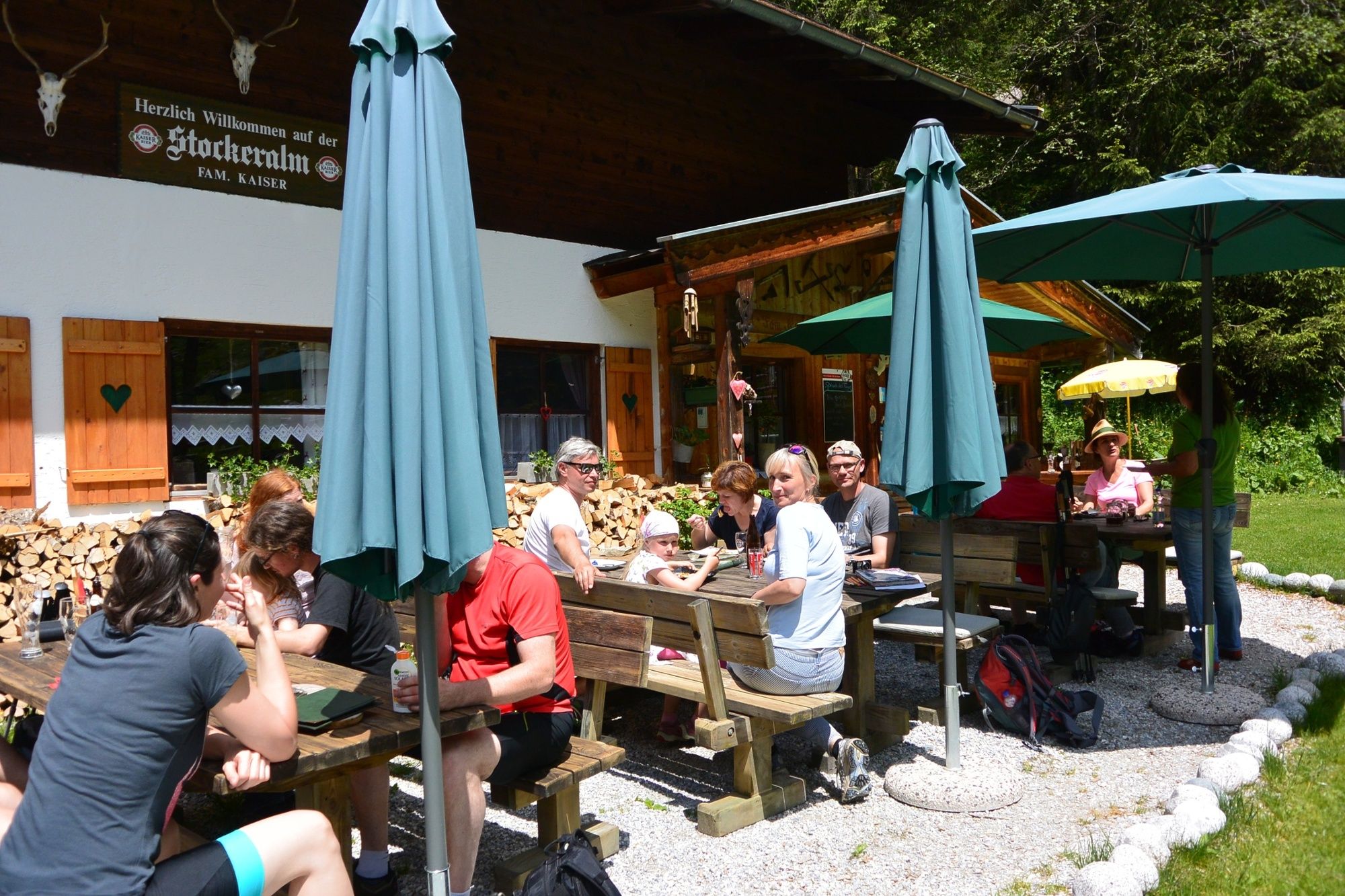
Stockeralm oder Finkalm

Perfil alto

Autor
La gira Neukirchen: Untersulzbachtal es utilizado por outdooractive.com proporcionado.

3,5
Valoración global

5

50

%

4

0

%

3

0

%

2

50

%

1

0

%

GPS Downloads
  • GPX GPS Exchange Format (XML)
  • KML Google Earth, Google Maps
Códigos de descarga QR para teléfonos móviles

Información general

Punto de avituallamiento
Más circuitos por las regiones

Excursiones opcionales por los alrededores

Krimmler Tauernhaus

fácil Senderismo
10,4km | 520hm | 03:30h

Mittersill - Hintersee und Plattachsee

Senderismo
8,83km | 886hm | 04:00h

Smaragdwanderweg Habachtal/Bramberg

fácil Senderismo
7,17km | 513hm | 01:30h

Neukirchen: Großvenediger tour

difícil Senderismo
7,4km | 1156hm | 05:00h