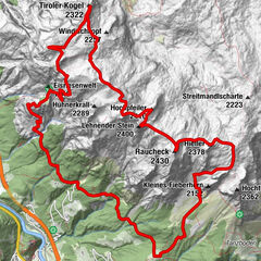
Datos del tour
8,32km
837
- 1.282m
394hm
256hm
03:00h

- Dificultad
-
fácil
- Valoración
-
- Punto de salida
-
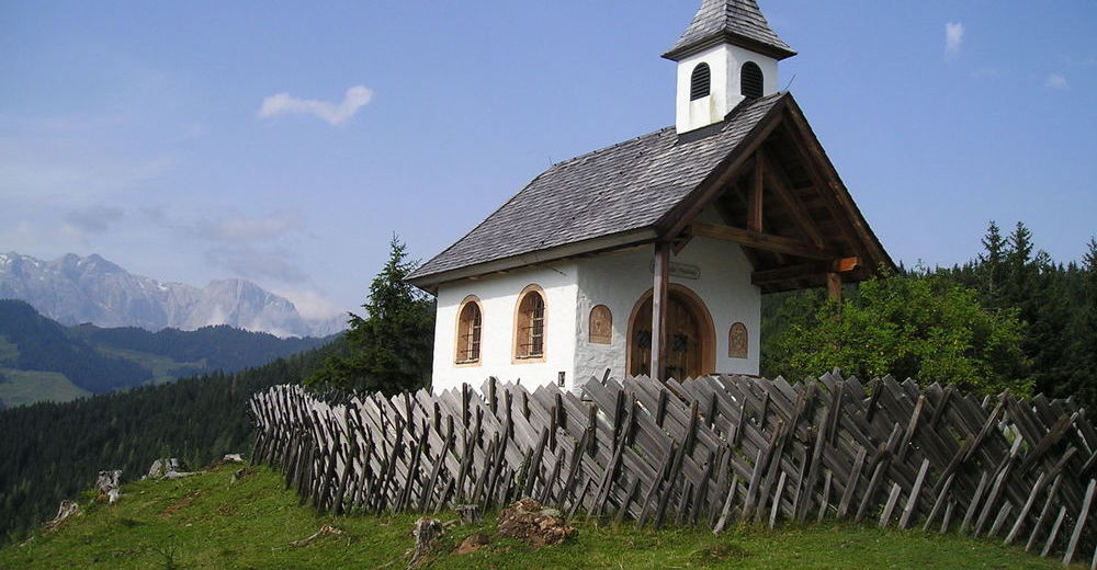
Goldegg-Weng, Oberwengkapelle
- Ruta
-
AnnakircheWeng0,1 kmMeislsteinalm4,6 kmHackeralm5,3 km
- La mejor temporada
-
enefebmarabrmayjunjulagosepoctnovdic
- Punto álgido
- 1.282 m
- Punto final
-
Böndlsee über Almen
- Descanso/Avituallamiento
-
Meislsteinalm, Hackeralm, Hotel Seeblick,
- Material cartográfico
-
im Tourismusbüro erhältlich

- Link
- www.goldeggamsee.at
- Fuente
- tourismusverband Goldegg
GPS Downloads


Superficie de carretera
Asfalto
Gravilla
Pradera
Bosque
Roca
Expuesto
Más circuitos por las regiones
-
Salzburger Sonnenterrasse
2080
-
Goldegg am See
785