


Datos del tour
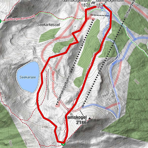
3,04km
1.855
- 2.130m
512hm
02:00h
- Breve descripción
-
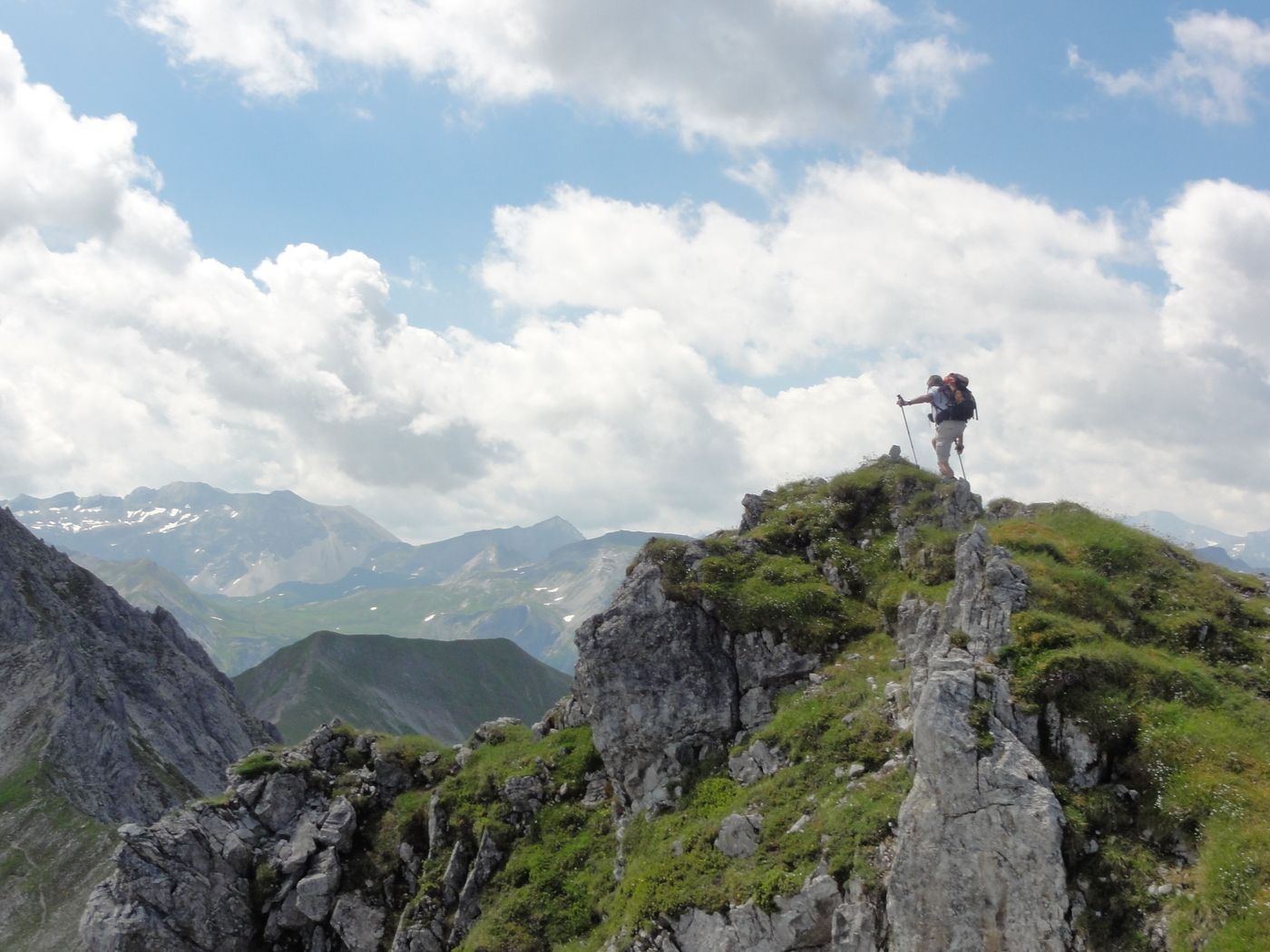
Wanderung mit Liftbenützung
- Valoración
-
- Punto de salida
-
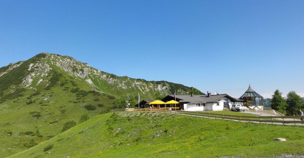
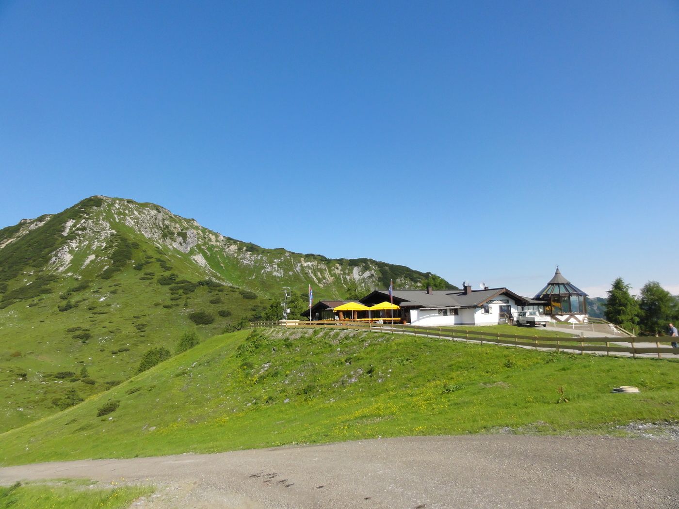
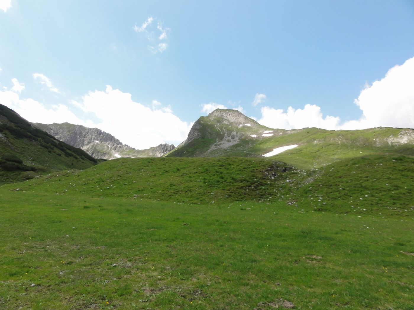
Gamskogelhütte- Liftendstation
- Ruta
-
Gamskogelhütte2,9 km
- La mejor temporada
-
enefebmarabrmayjunjulagosepoctnovdic
- Punto álgido
- 2.130 m
- Punto final
-
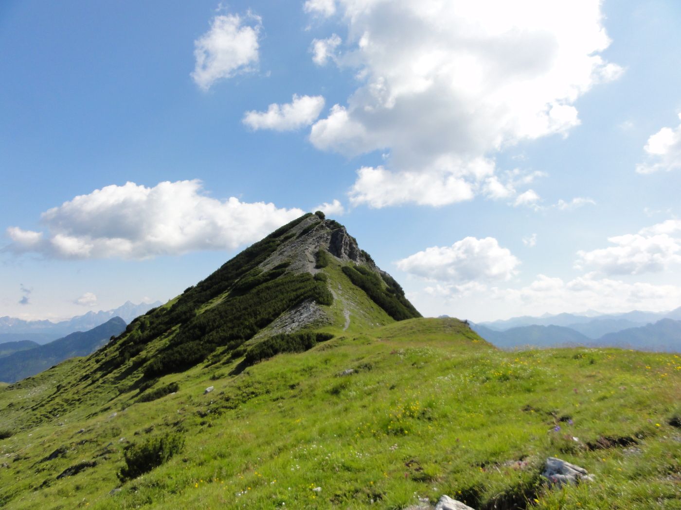
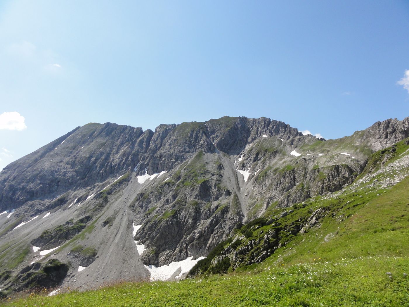
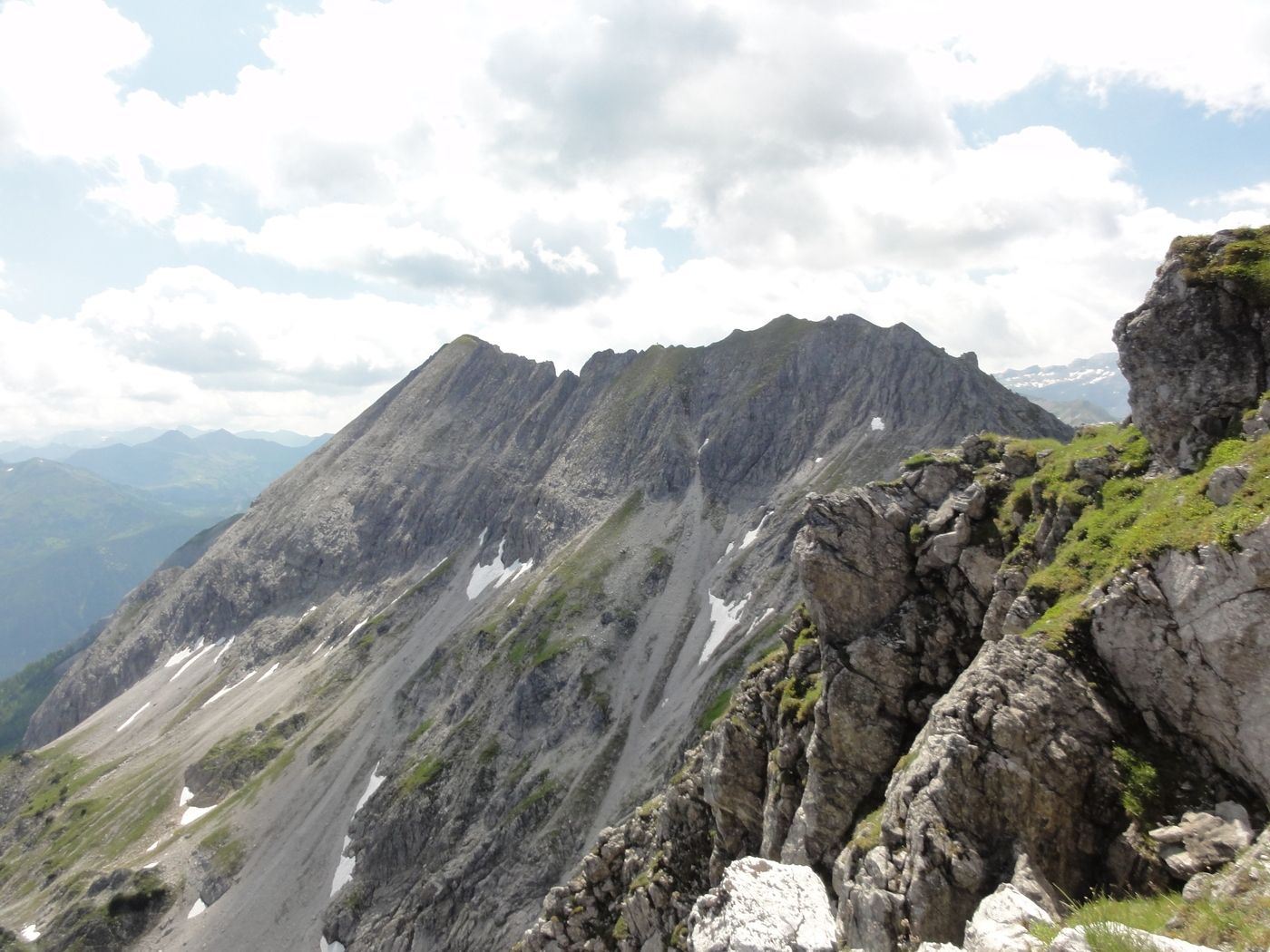
Schwarzkogel
- Descanso/Avituallamiento
-
Gamskogelhütte
GPS Downloads


Superficie de carretera
Asfalto
Gravilla
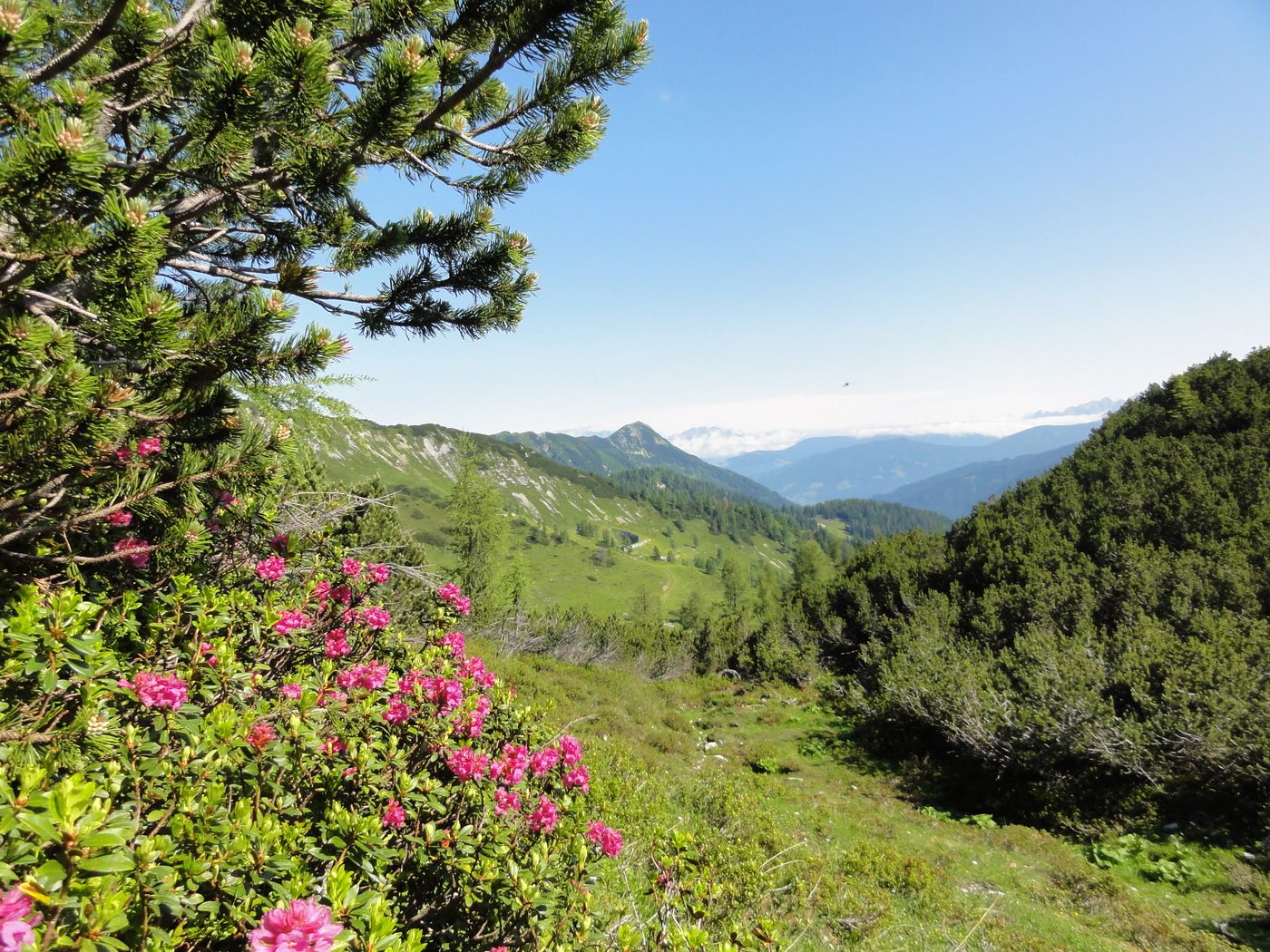
Pradera
Bosque
Roca
Expuesto
Más circuitos por las regiones
-
Katschberg Lieser-Maltatal
2552
-
Obertauern
1645
-
Untertauern
506