Datos del tour
3,83km
437
- 506m
140hm
140hm
01:15h
- Breve descripción
-
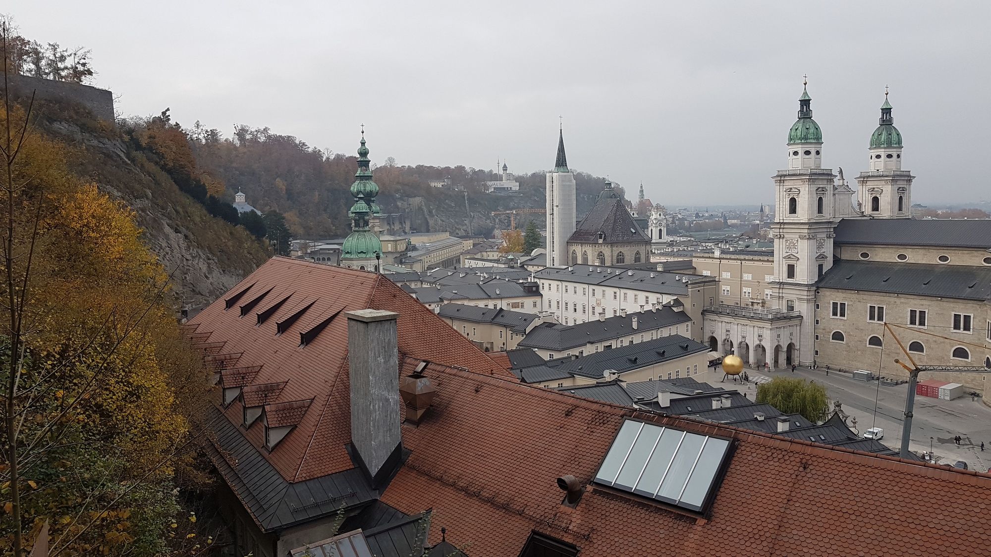
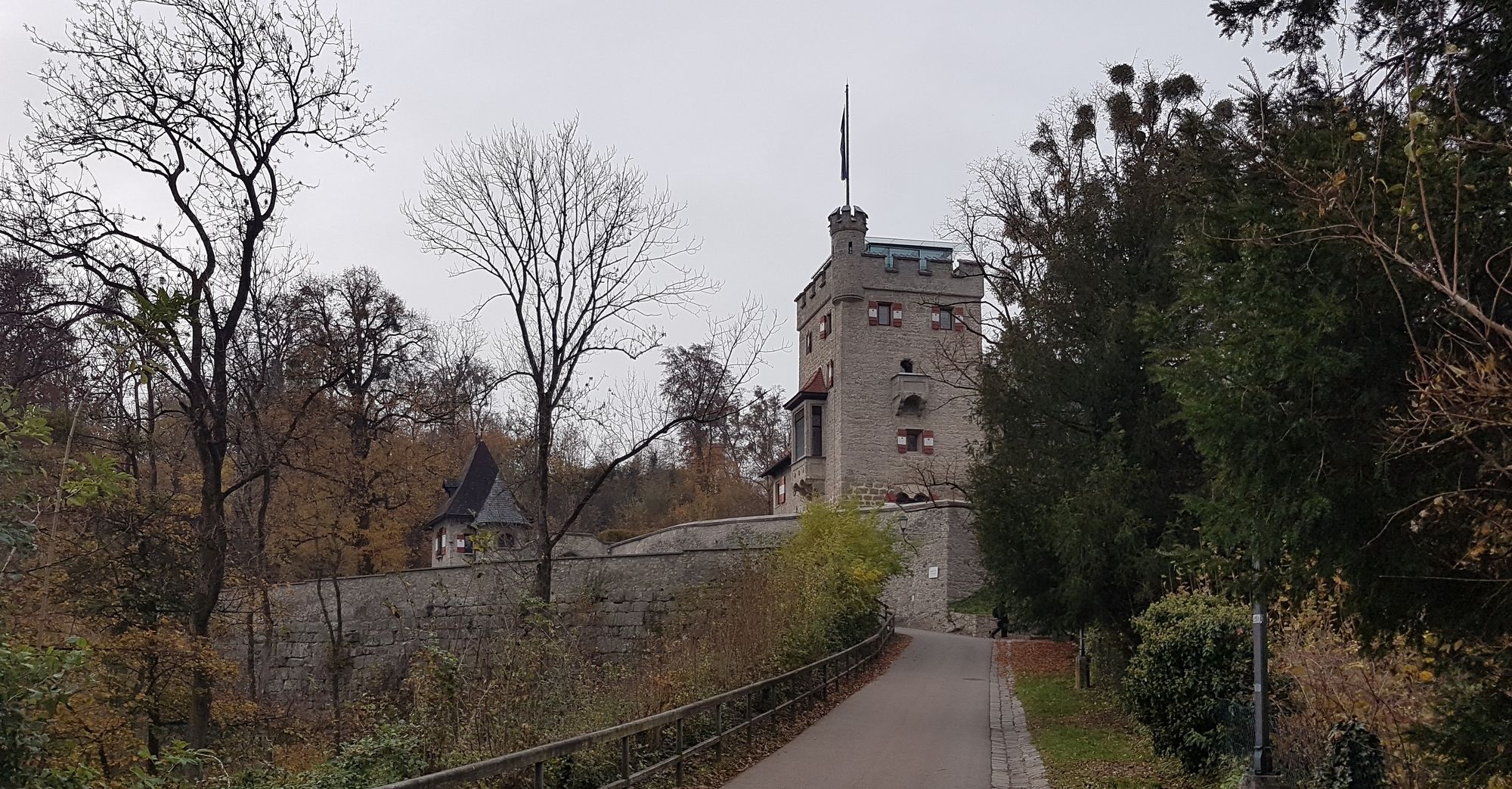
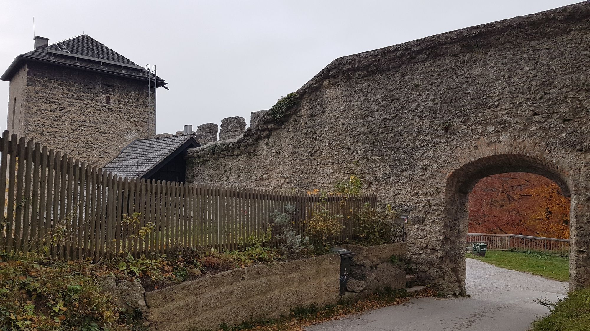
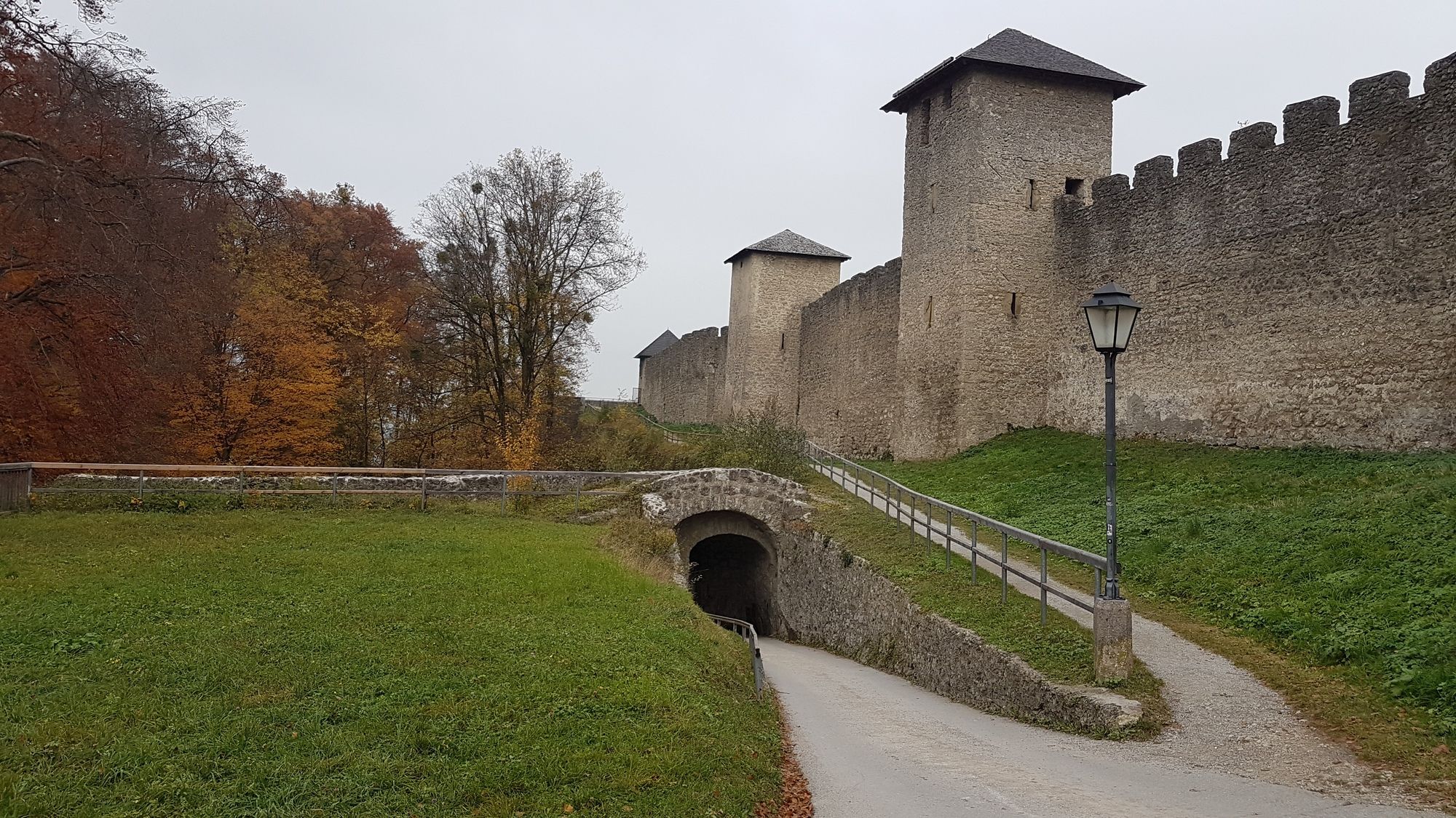
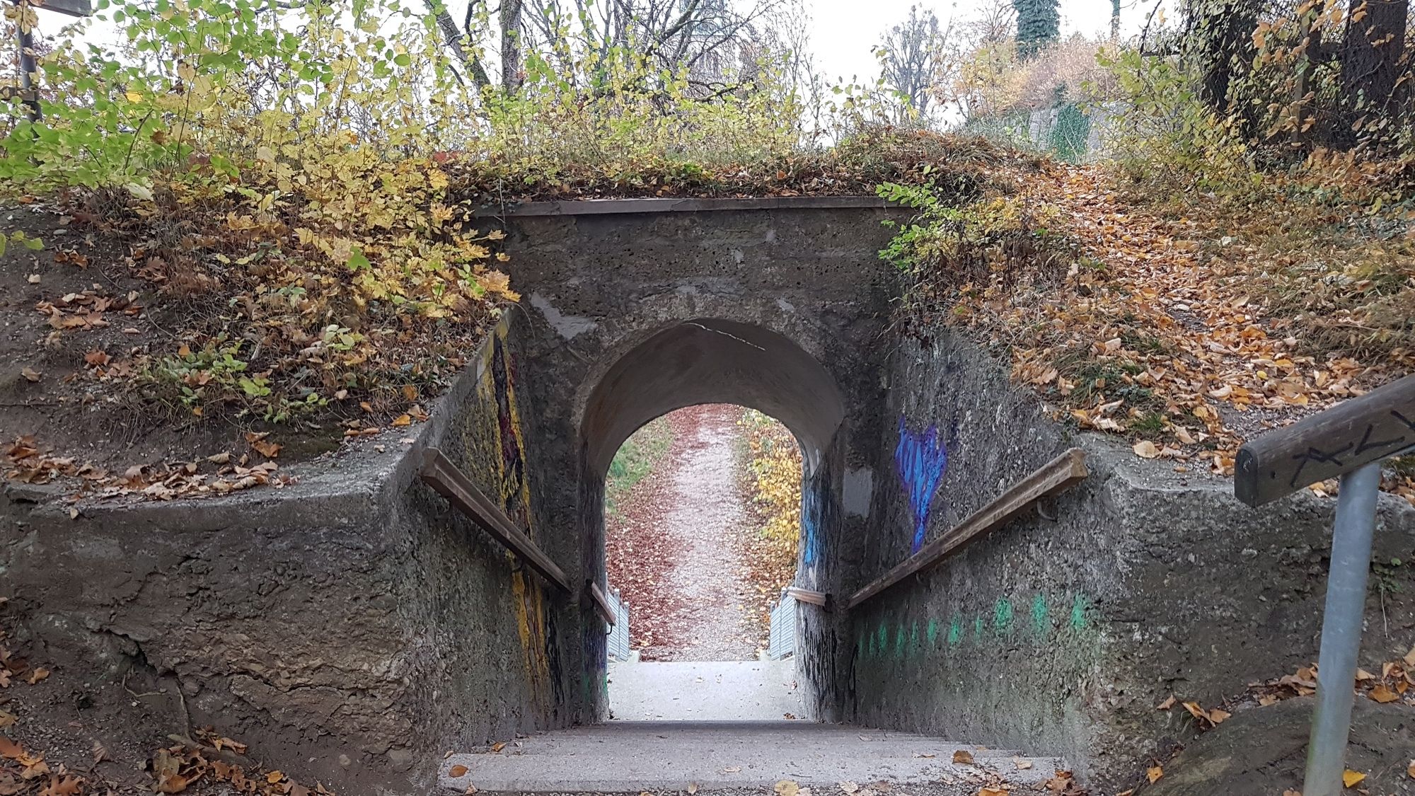
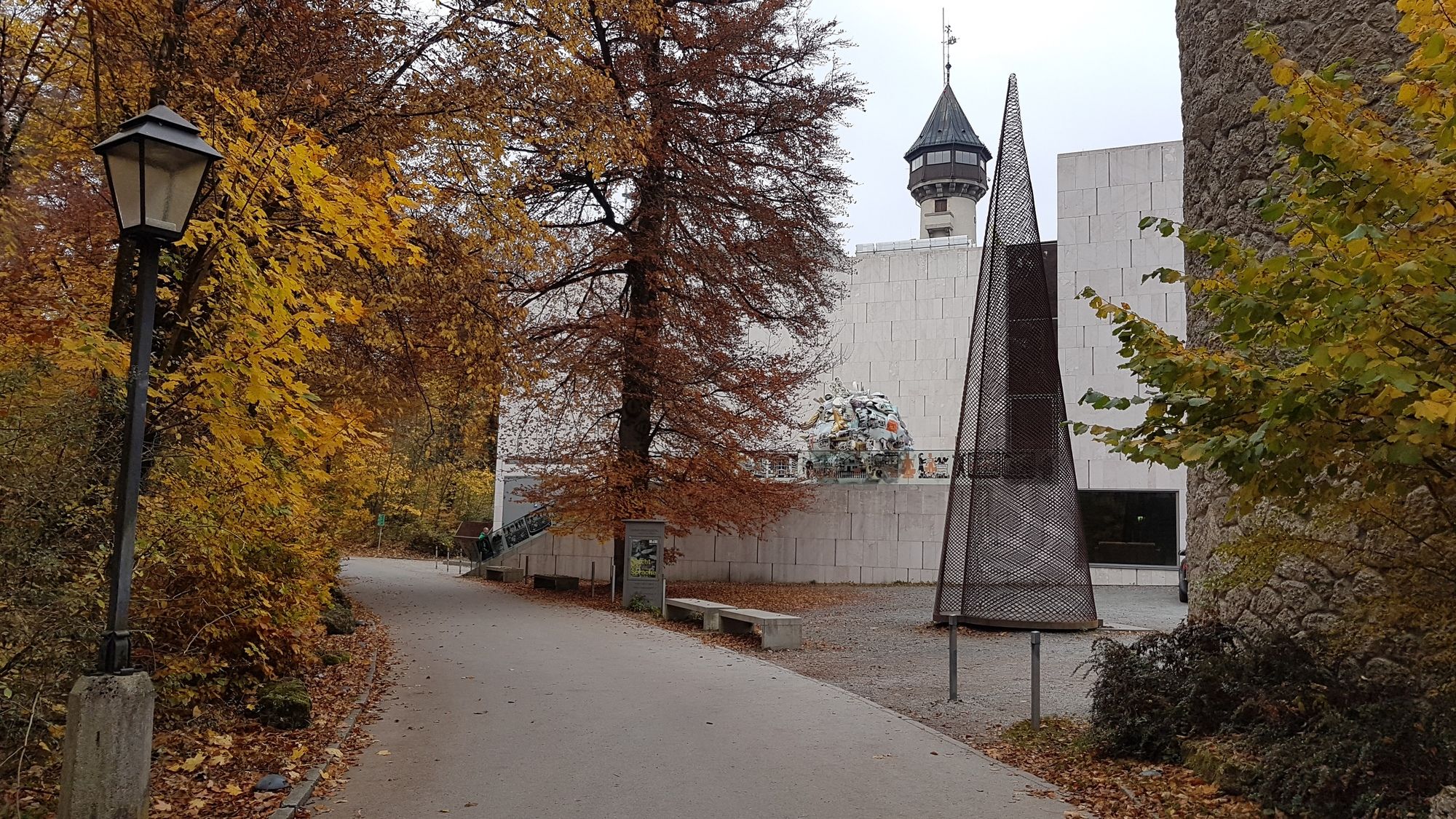
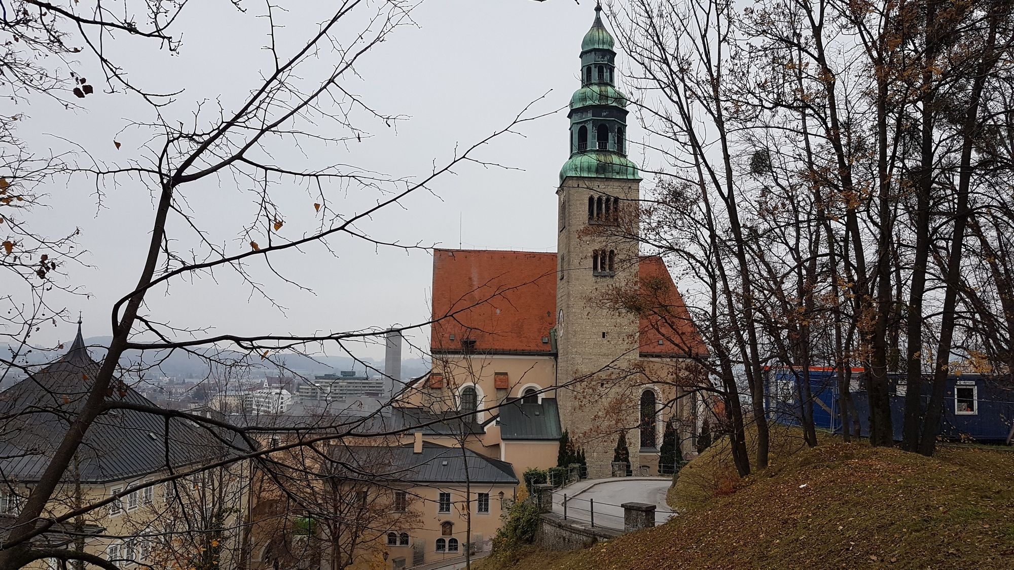
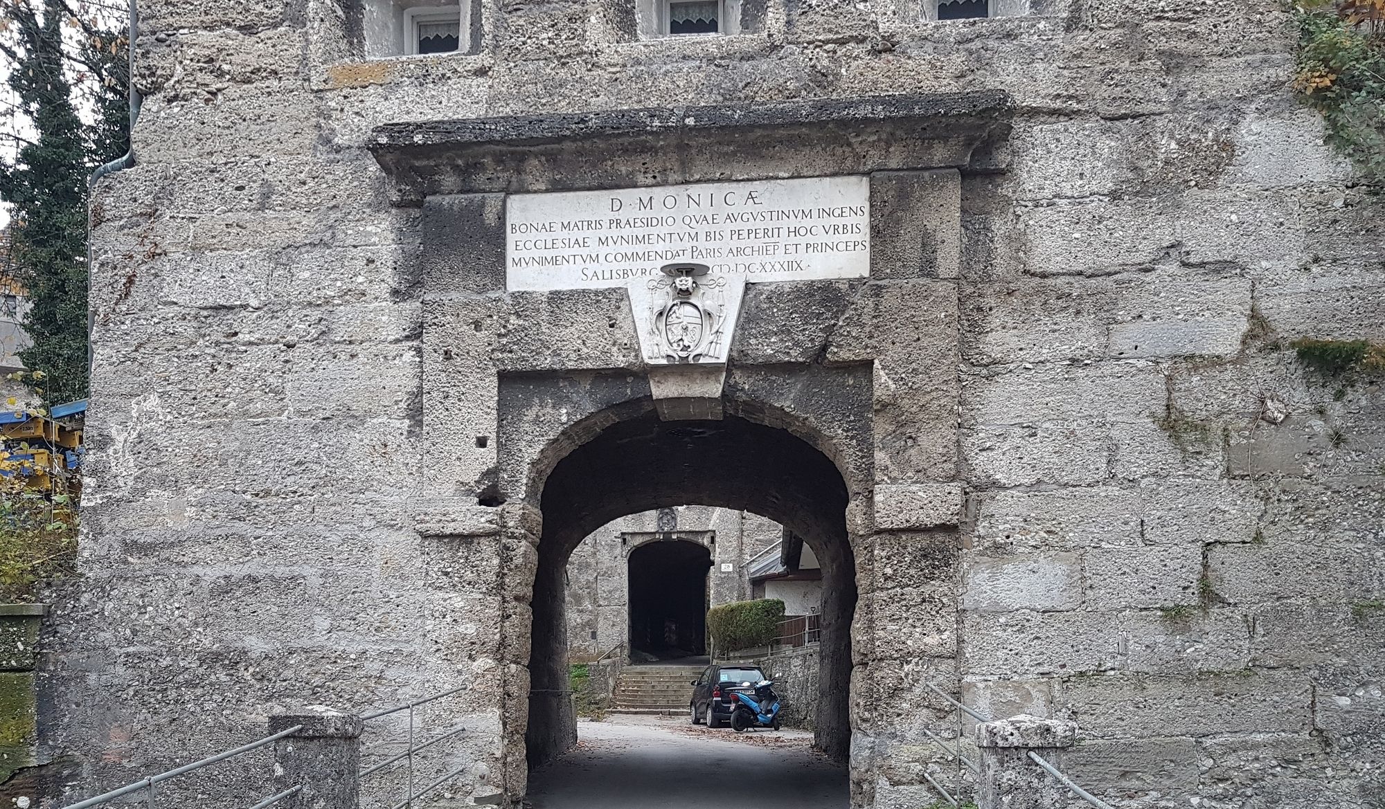
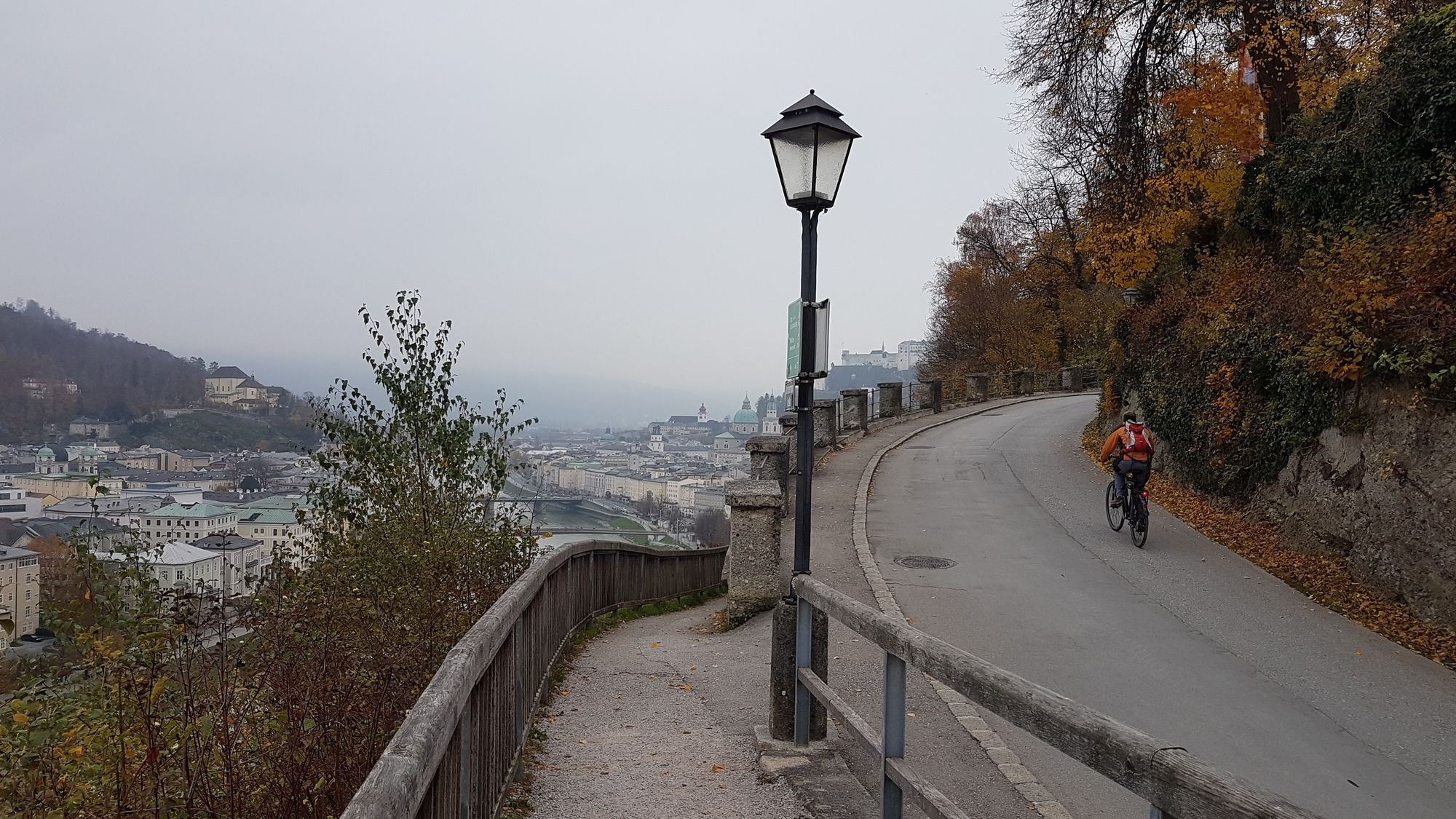
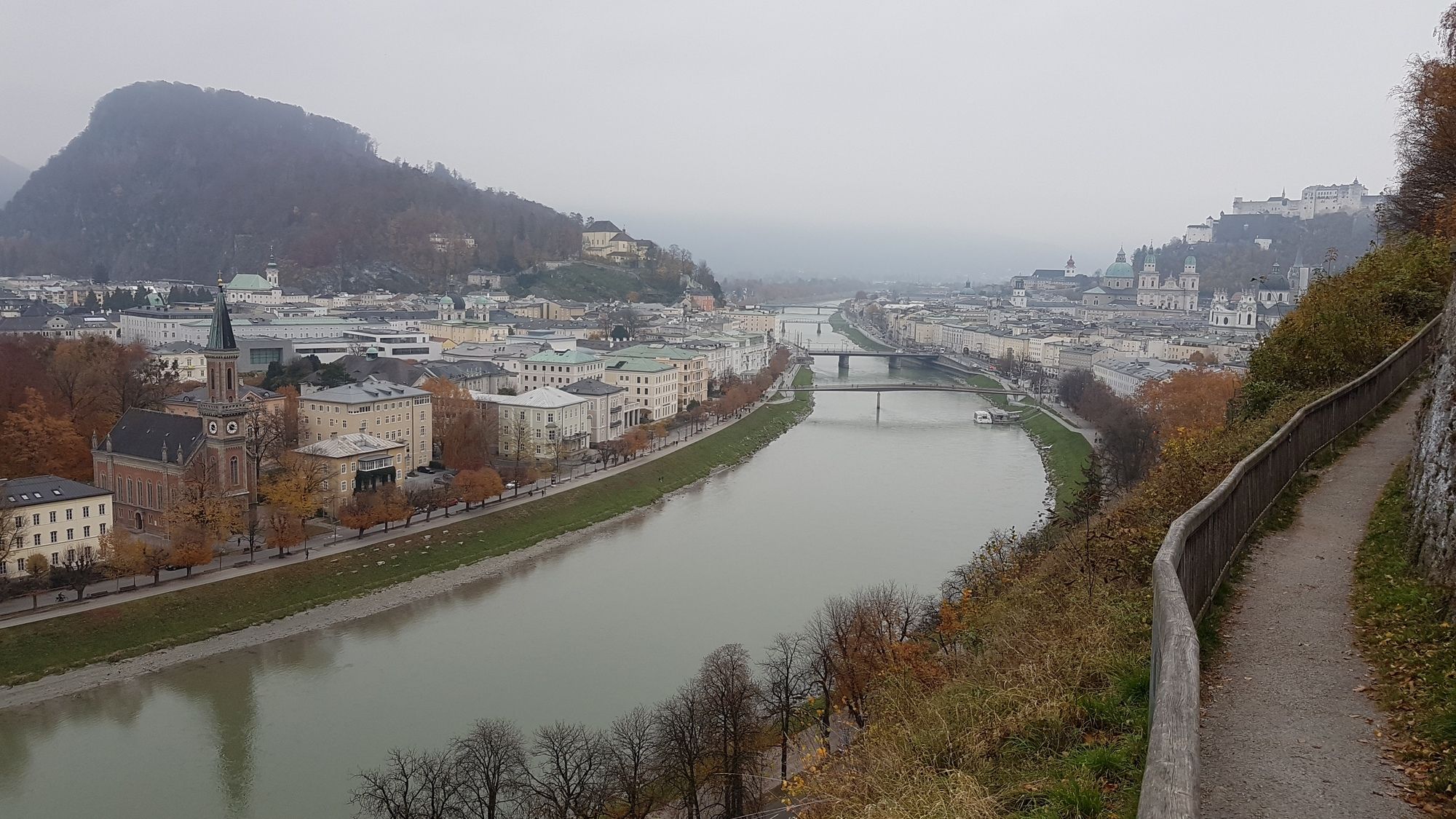
Stadtwanderung auf den Mönchsberg und an der Richterhöhe vorbei.
- Dificultad
-
fácil
- Valoración
-
- Punto de salida
-
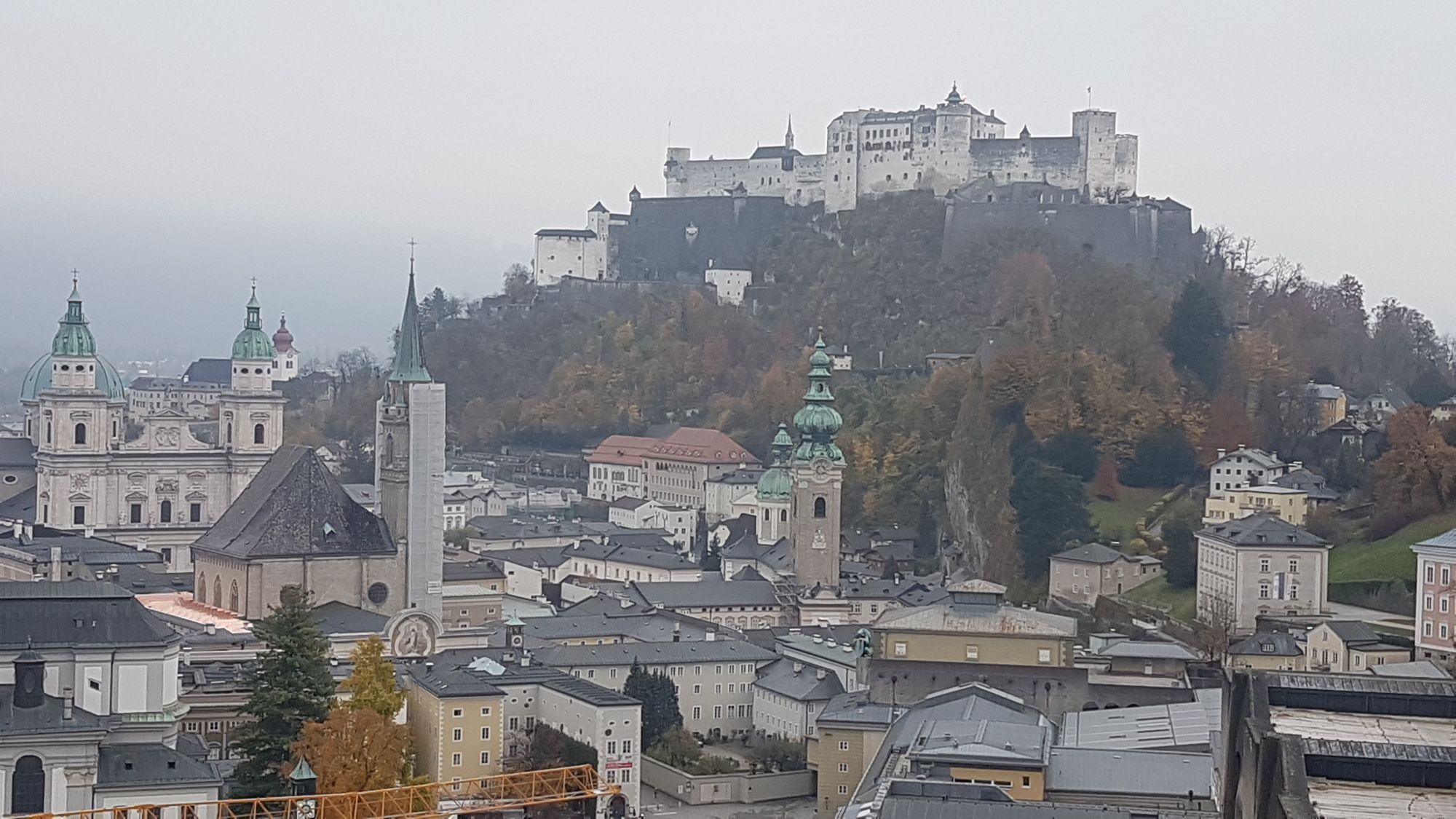
Altstadst
- Ruta
-
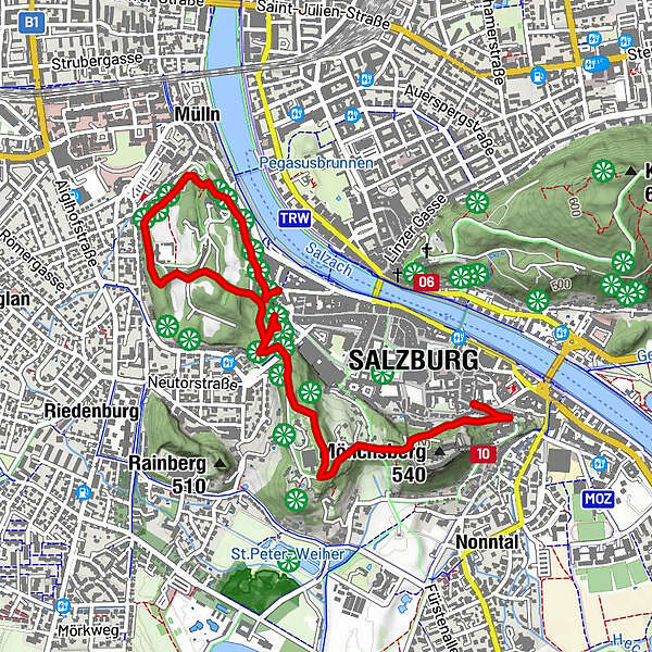
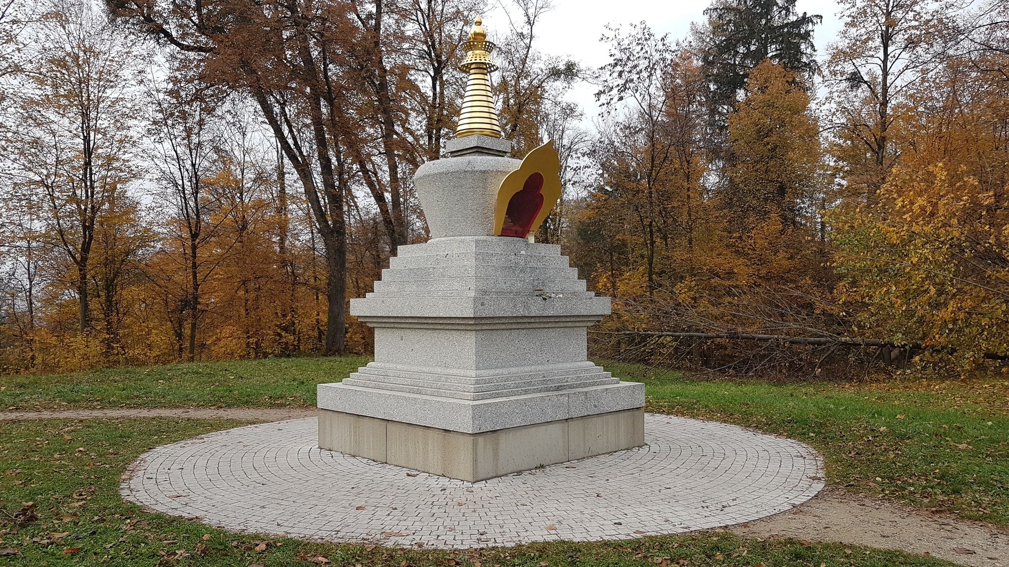
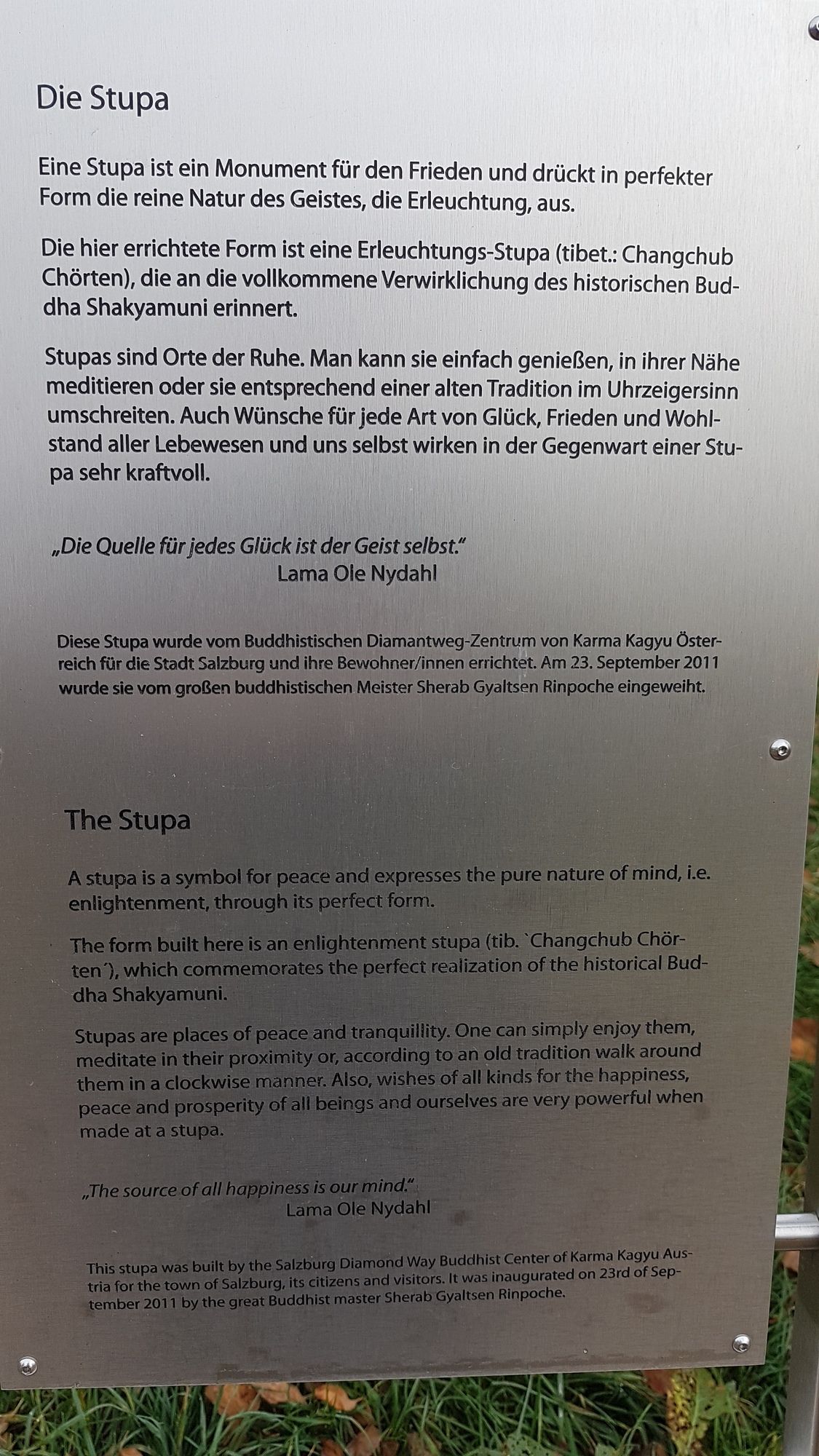
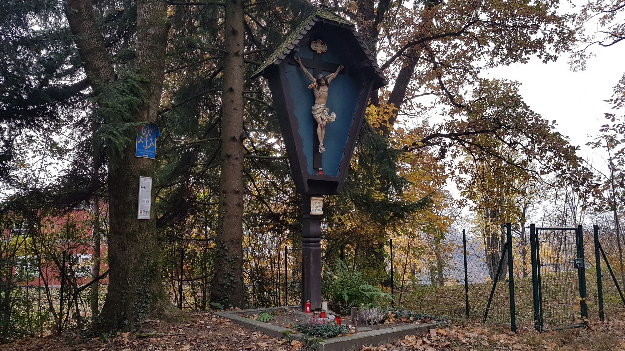
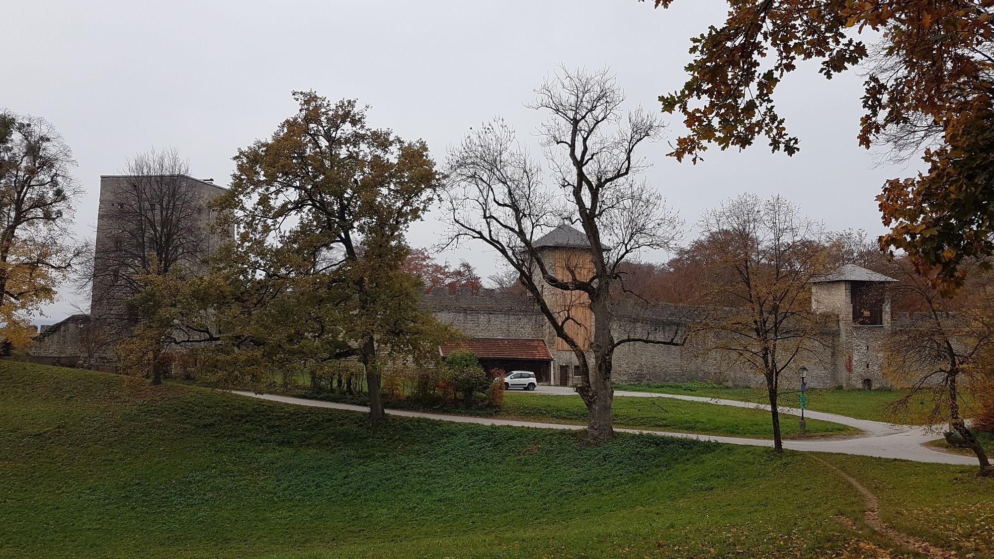
Stiftskirche Nonnberg0,1 kmSalzburgo (424 m)0,4 kmFestungsberg (548 m)0,6 kmLodronsche Geschützbastei Katze0,6 kmFranz-Josefs-Höhe1,0 kmErleuchtungs-Stupa1,1 kmKarolinenhöhe (508 m)1,3 kmSt. Blasiuskirche1,8 kmPalottinerklosterkirche2,7 kmMülln2,9 kmMarkuskirche3,5 km
- La mejor temporada
-
enefebmarabrmayjunjulagosepoctnovdic
- Punto álgido
- Richterhöhe (506 m)
- Punto final
-
Richterhöhe
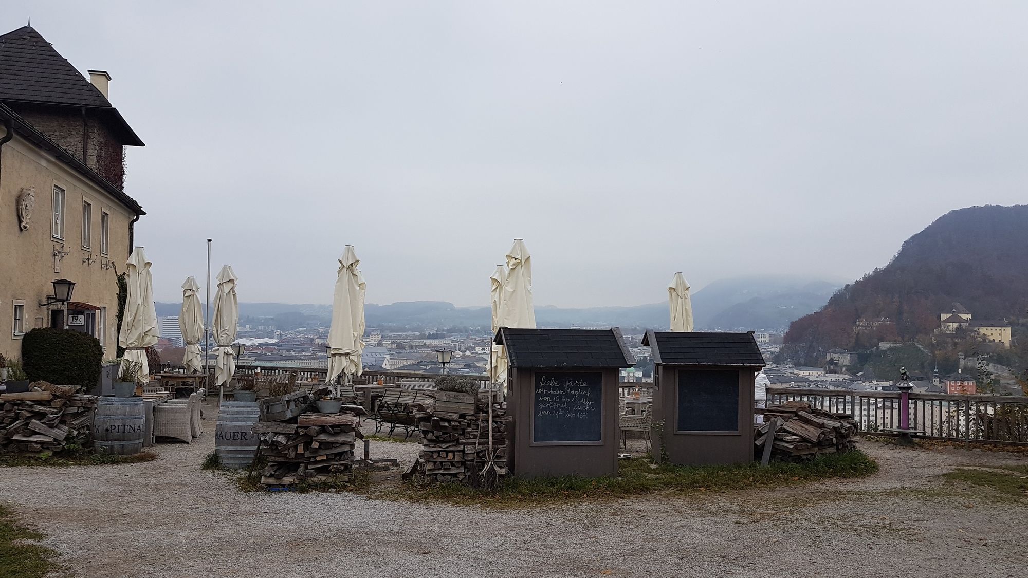
- Descanso/Avituallamiento
-
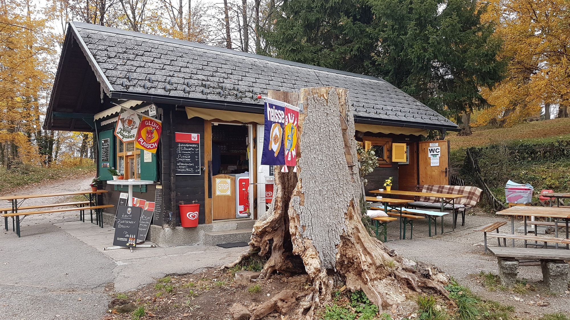
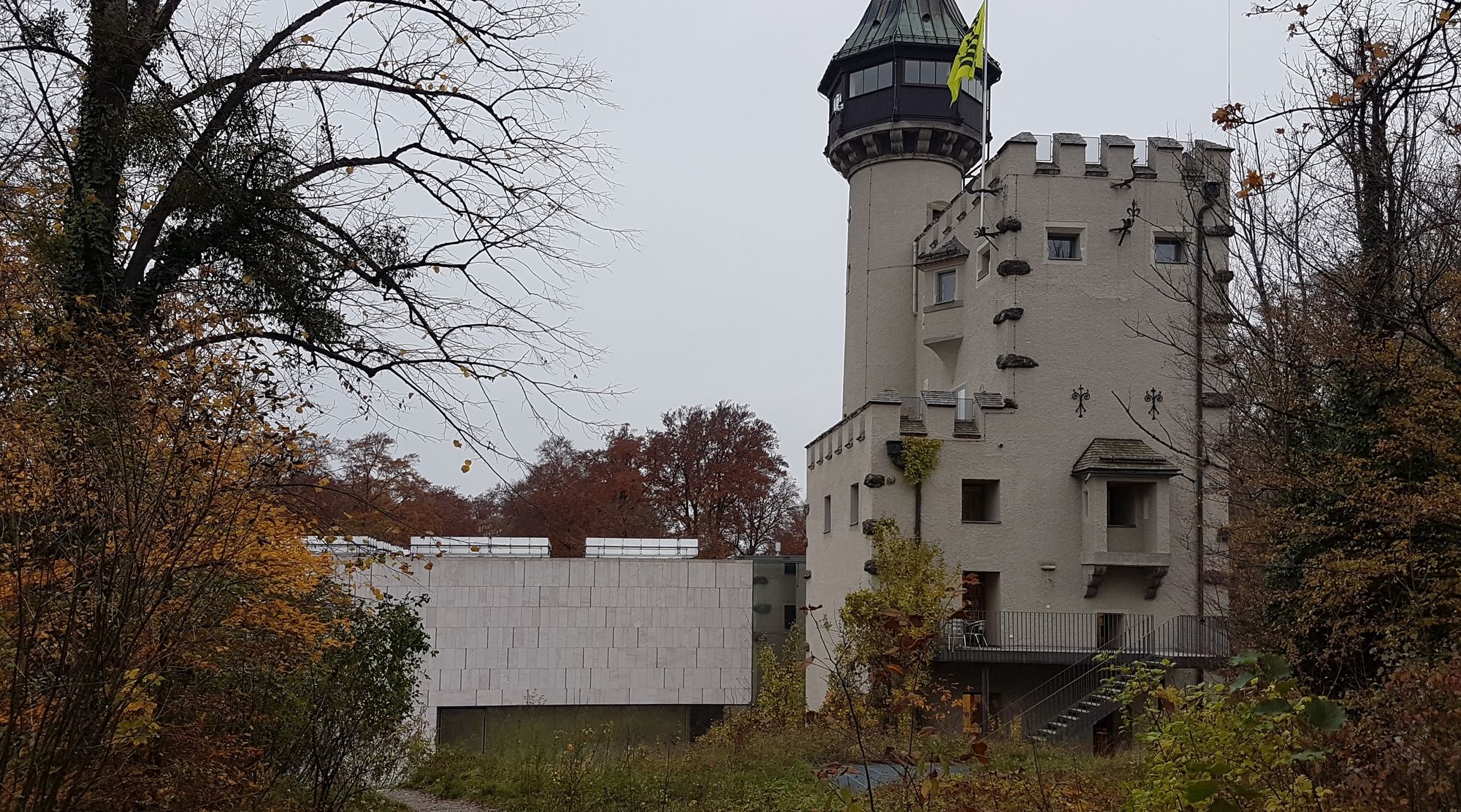
Buffet zur Richterhöhe, Stadtlalm, Museum Moderner Kunst
GPS Downloads


Superficie de carretera
Asfalto
Gravilla
Pradera
Bosque
Roca
Expuesto
Más circuitos por las regiones