Rettenwand Circular Hiking Route

Logotipo Rettenwand Circular Hiking Route
Datos del tour
2,3km
2.425 - 2.517m
Distancia
98hm
92hm
Ascenso
01:15h
 
Duración
Breve descripción

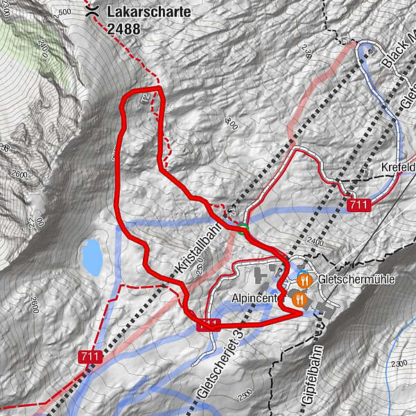
schöner Rundwanderweg am Alpincenter auf 2.452 m Höhe.

Dificultad
medio
Valoración
Técnica
Nivel
Paisaje
Experiencias
Ruta
Alpincenter
2,1 km

La mejor temporada
ene
feb
mar
abr
may
jun
jul
ago
sep
oct
nov
dic
Punto álgido
2.517 m
Punto final

Alpincenter 2.450 m

Perfil alto

Autor
La gira Rettenwand Circular Hiking Route es utilizado por outdooractive.com proporcionado.

Valoración global

5

0

%

4

0

%

3

0

%

2

0

%

1

0

%

Error
Se ha producido un error. Por favor, inténtelo de nuevo.
Gracias por su comentario

Se ha eliminado la calificación

GPS Downloads
  • GPX GPS Exchange Format (XML)
  • KML Google Earth, Google Maps
Códigos de descarga QR para teléfonos móviles

Información general

Punto de avituallamiento
Fauna
Vistas panorámicas

Excursiones opcionales por los alrededores

Rundwanderung Sonnkogel - Schmittenhöhe

medio Senderismo
14,82km | 1100hm | 04:00h

Bürgkogelsteig

fácil Senderismo
1,76km | 165hm | 01:00h

Kitzsteinhorn 3.203 m - Ascent to the peak

difícil Senderismo
0,3km | 150hm | 00:45h

Bruck: 732+736+730 | Drei Brüder

difícil Senderismo
16,09km | 1216hm | 06:00h