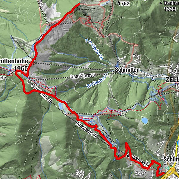
Mountain Path - Variant from Sonnkogel to Schüttdorf

Senderismo

© Schmittenhöhebahn AG

- Breve descripción
-
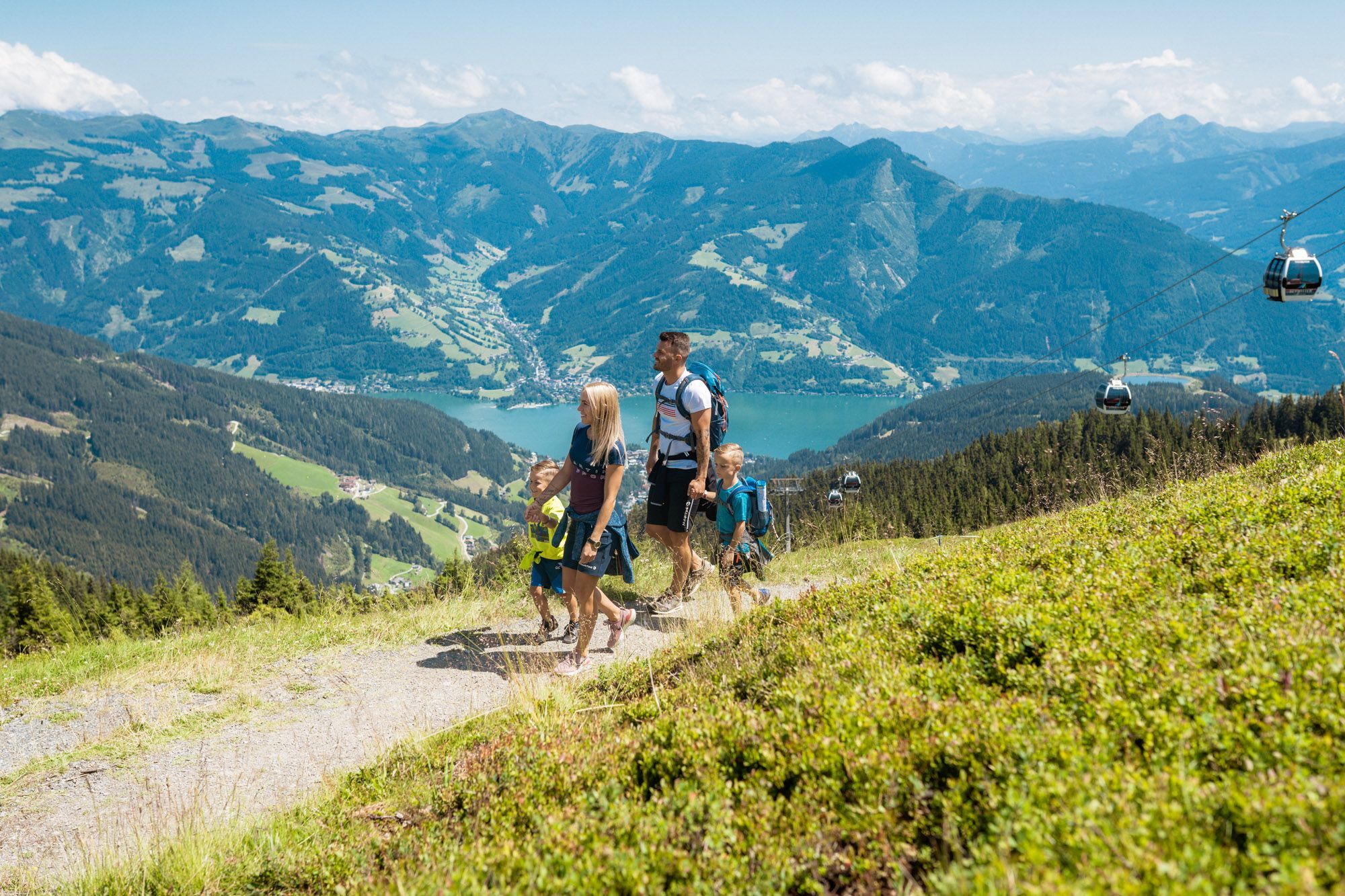
Exciting circular tour on the sunny side of the Schmittenhöhe with numerous places to stop for refreshments.
- Dificultad
-
medio
- Valoración
-
- Ruta
-
Sonnkogel Alm0,0 kmHochzeller-Alm1,9 kmSchmittenhöhe (1.965 m)2,3 kmBerghotel Schmittenhöhe2,4 kmElisabeth-Kapelle2,4 kmGlocknerhaus6,0 kmAreit Lounge7,5 kmSchüttgut11,1 km
- Punto álgido
- 1.952 m
- Punto final
-
Talstation areitXpress
- Perfil alto
-

-

-
AutorLa gira Mountain Path - Variant from Sonnkogel to Schüttdorf es utilizado por outdooractive.com proporcionado.
GPS Downloads


Información general
Flora
Vistas panorámicas
Más circuitos por las regiones
-
Zell am See - Kaprun
1502
-
Schmittenhöhe
522


