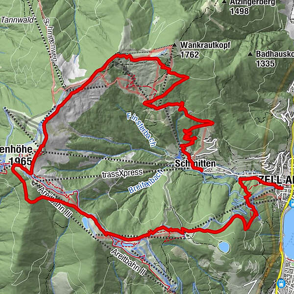
Mountain Path - Variant Zell am See/Sonnalm/Schmittenhöhe/Schüttdorf

Senderismo

© Schmittenhöhebahn AG

© Schmittenhöhebahn AG
© Renate Ecker - Zell am See-Kaprun Tourismus
© Renate Ecker - Zell am See-Kaprun Tourismus
© Renate Ecker - Zell am See-Kaprun Tourismus

© Renate Ecker - Zell am See-Kaprun Tourismus

© Schmittenhöhebahn AG

© Schmittenhöhebahn AG

- Breve descripción
-
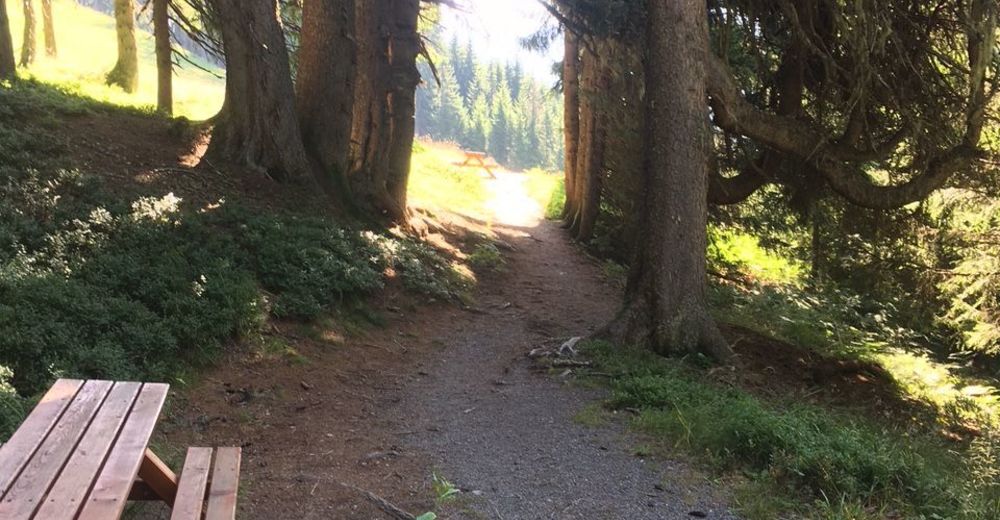
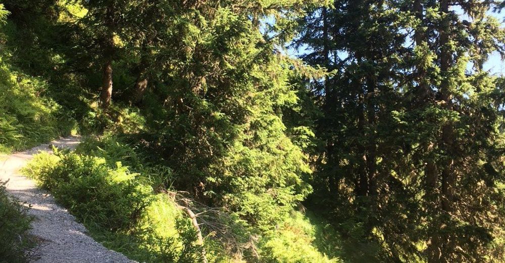
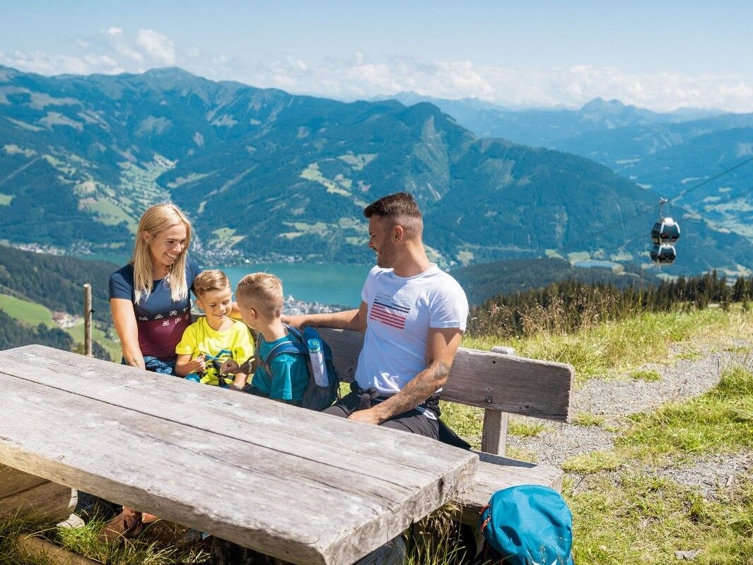
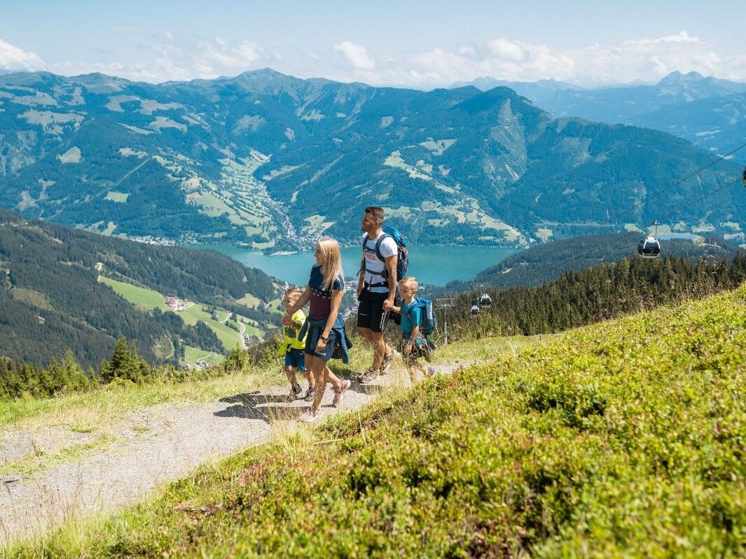
Exciting circular tour on the sunny side of the Schmittenhöhe with numerous places to stop for refreshments.
- Dificultad
-
medio
- Valoración
-
- Ruta
-
Schmitten0,1 kmBlaickner3,6 kmSonnkogel Alm6,7 kmHochzeller-Alm8,6 kmSchmittenhöhe (1.965 m)9,0 kmBerghotel Schmittenhöhe9,1 kmElisabeth-Kapelle9,1 kmZell am See (750 m)17,5 kmInnenstadt17,6 km
- La mejor temporada
-
enefebmarabrmayjunjulagosepoctnovdic
- Punto álgido
- 1.961 m
- Punto final
-
Zell am See centre or Schüttdorf
- Perfil alto
-


-

-
AutorLa gira Mountain Path - Variant Zell am See/Sonnalm/Schmittenhöhe/Schüttdorf es utilizado por outdooractive.com proporcionado.
GPS Downloads


Información general
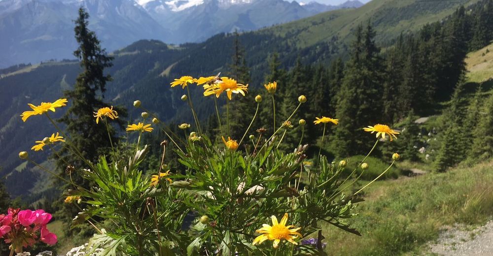
Flora
Vistas panorámicas
Más circuitos por las regiones
-
Zell am See - Kaprun
1504
-
Schmittenhöhe
523


