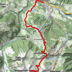
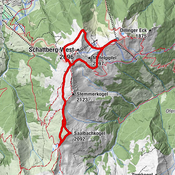
Schattberg Höhenrundweg with Saalbachkogel

Senderismo

© Saalbach Hinterglemm - TVB Saalbach Hinterglemm

© Saalbach Hinterglemm - Hans Eder
- Breve descripción
-
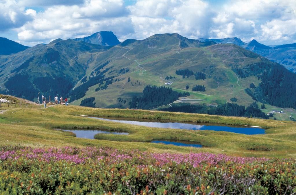
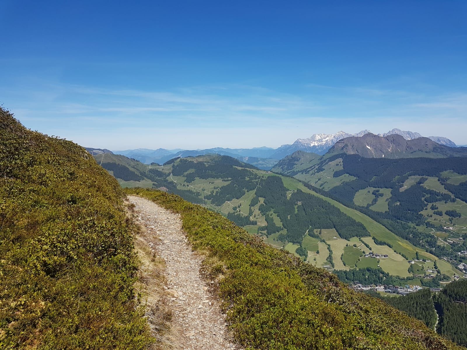
High circular route with wonderful views of the surrounding mountains and Glemm Valley
- Dificultad
-
medio
- Valoración
-
- Ruta
-
SkyRest0,0 kmSaalbachkogel (2.092 m)4,2 kmSeetörl (1.964 m)4,7 kmSkyRest10,0 kmSchattberg-Ost (2.018 m)10,2 km
- La mejor temporada
-
enefebmarabrmayjunjulagosepoctnovdic
- Punto álgido
- 2.051 m
- Punto final
-
Schattberg X-press Saalbach top station
- Perfil alto
-

-

-
AutorLa gira Schattberg Höhenrundweg with Saalbachkogel es utilizado por outdooractive.com proporcionado.
GPS Downloads


Información general
Vistas panorámicas
Más circuitos por las regiones