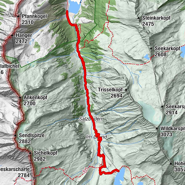
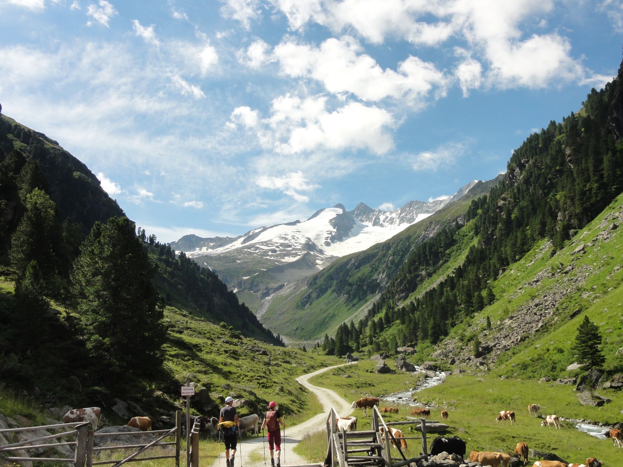
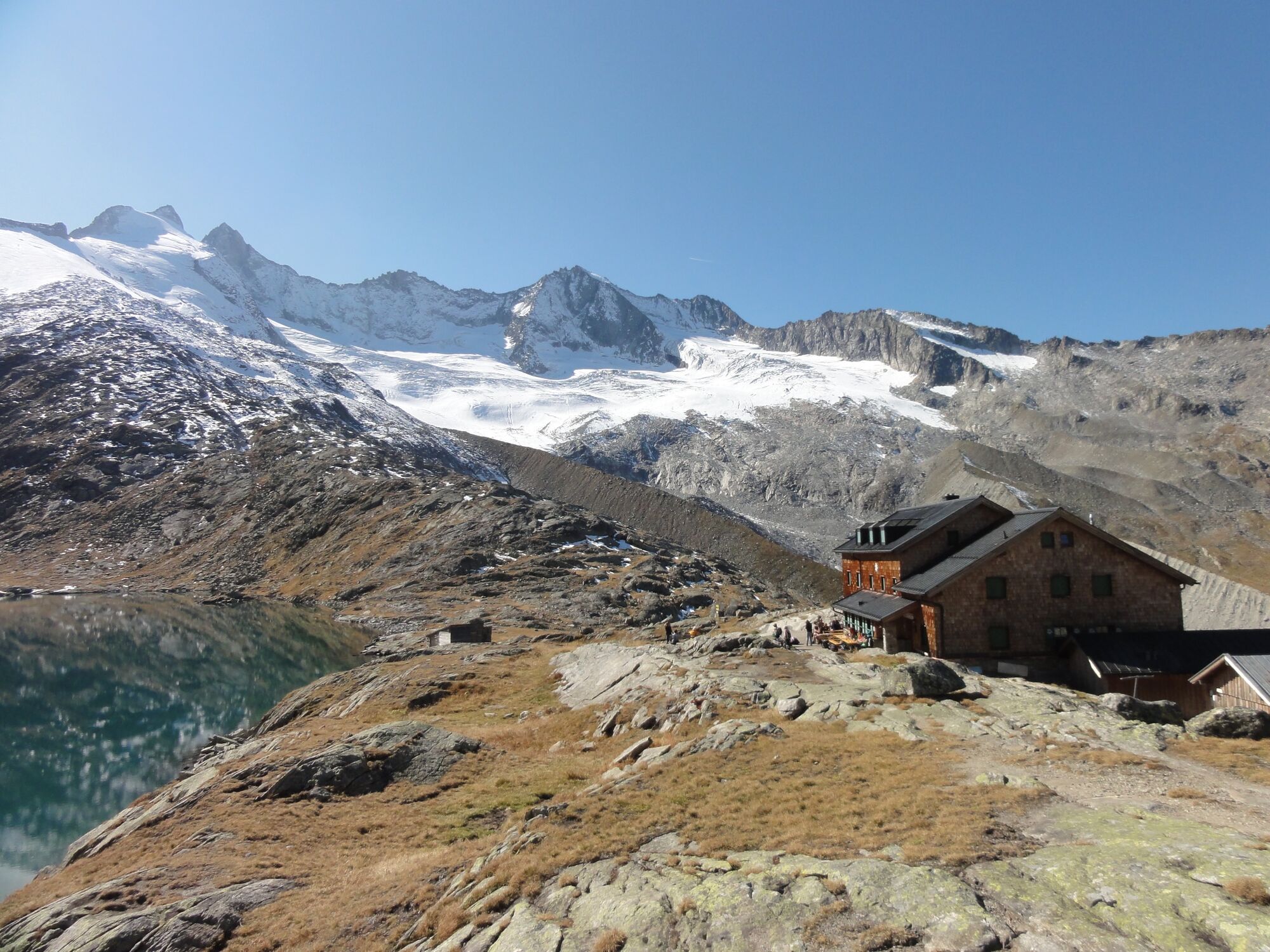
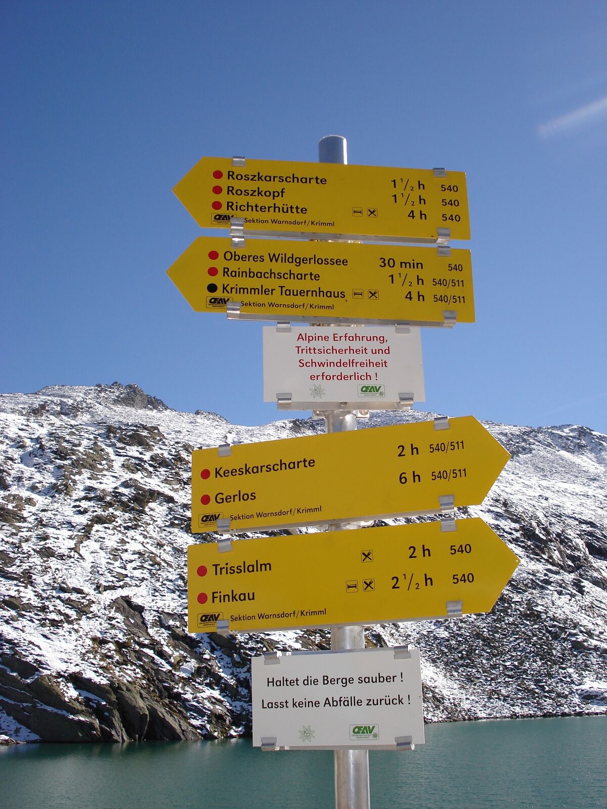
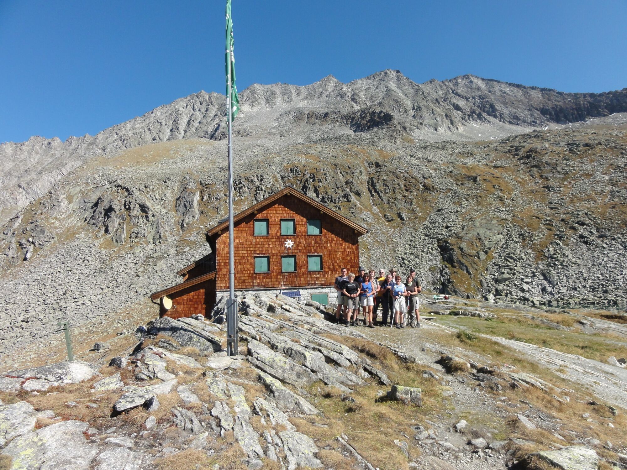
Zittauer Hütte im Wildgerlostal 2.328 m

Senderismo

© Wanderhotel Kirchner - Christian Kirchner

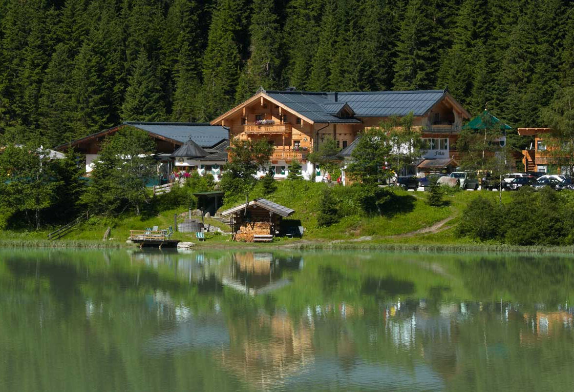
© Gasthof Finkau

© Wanderhotel Kirchner - Christian Kirchner

© Wanderhotel Kirchner - Christian Kirchner

© Wanderhotel Kirchner - Christian Kirchner

© Wanderhotel Kirchner - Christian Kirchner

© Wanderhotel Kirchner - Christian Kirchner

© Wanderhotel Kirchner - Christian Kirchner

© Wanderhotel Kirchner - Christian Kirchner

© Wanderhotel Kirchner - Christian Kirchner

- Breve descripción
-
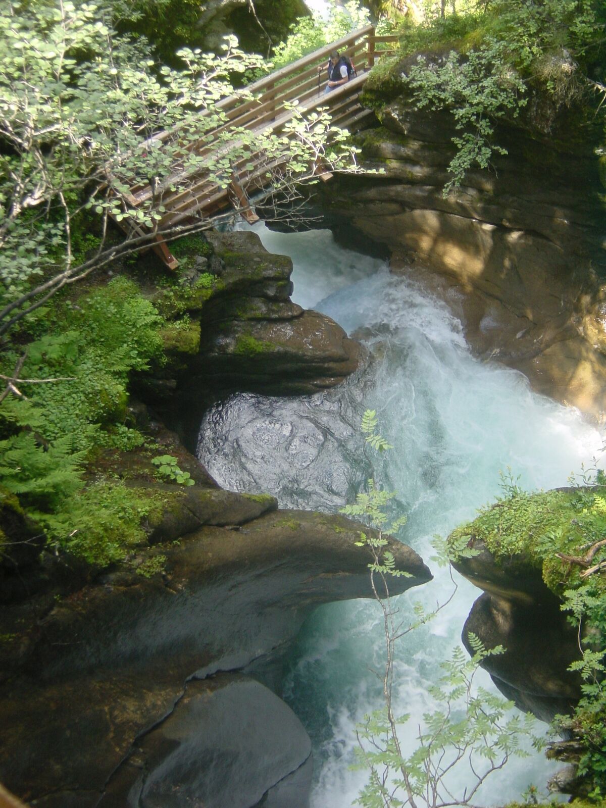
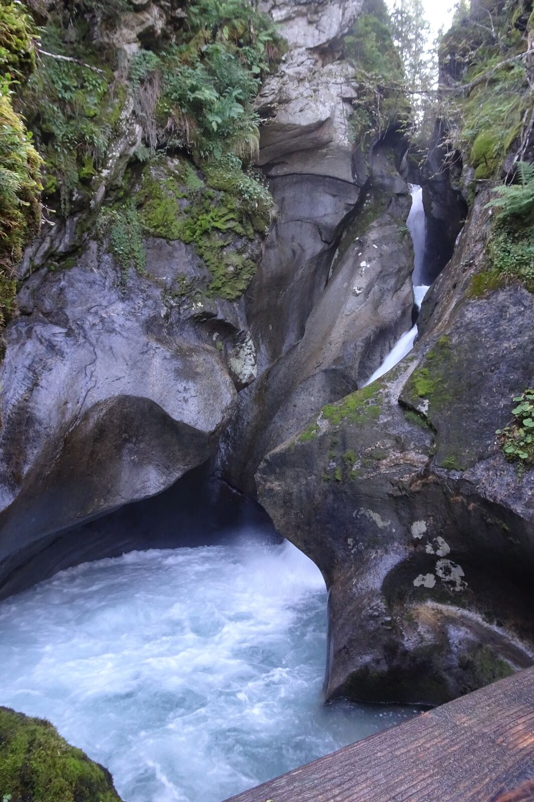
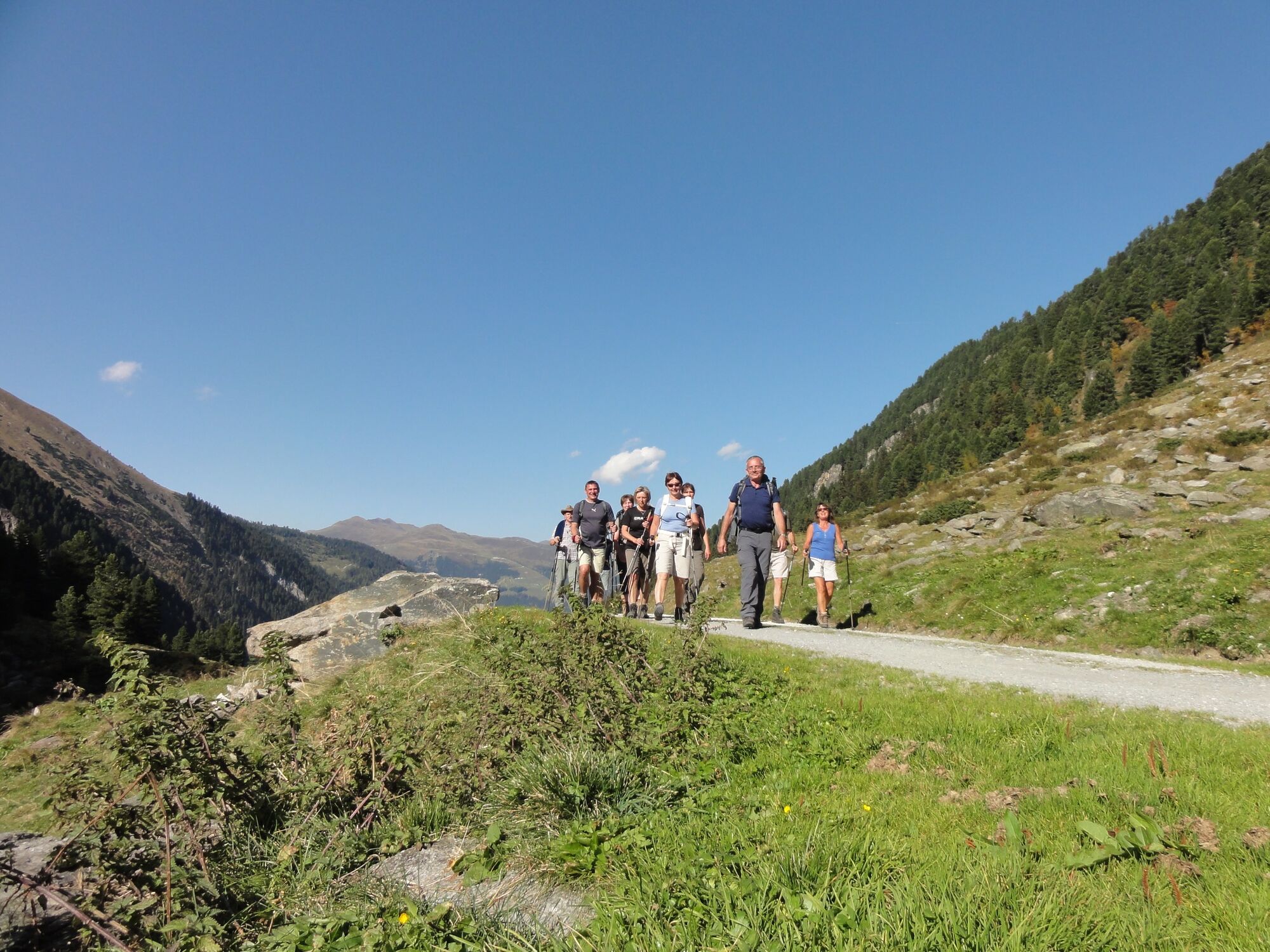
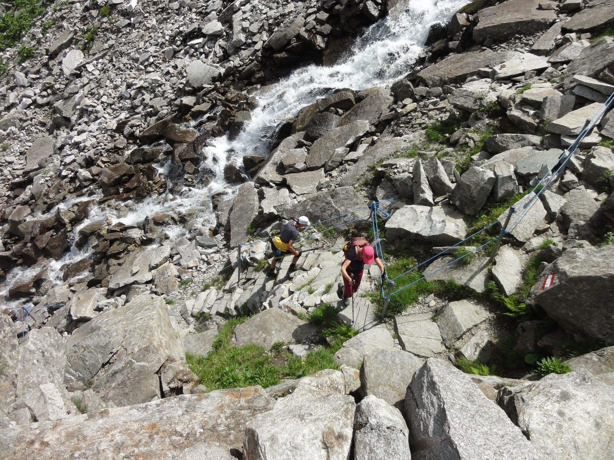
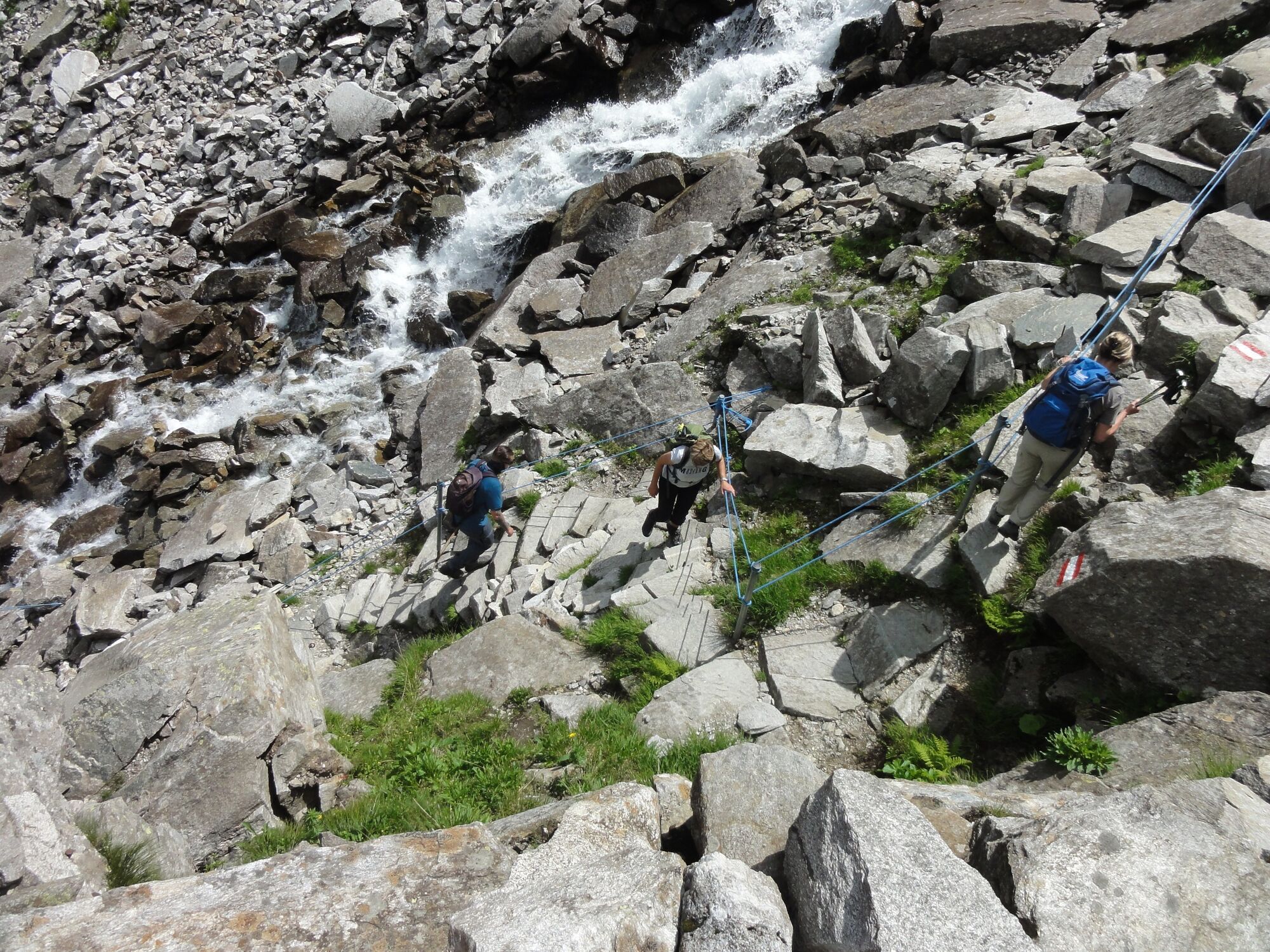
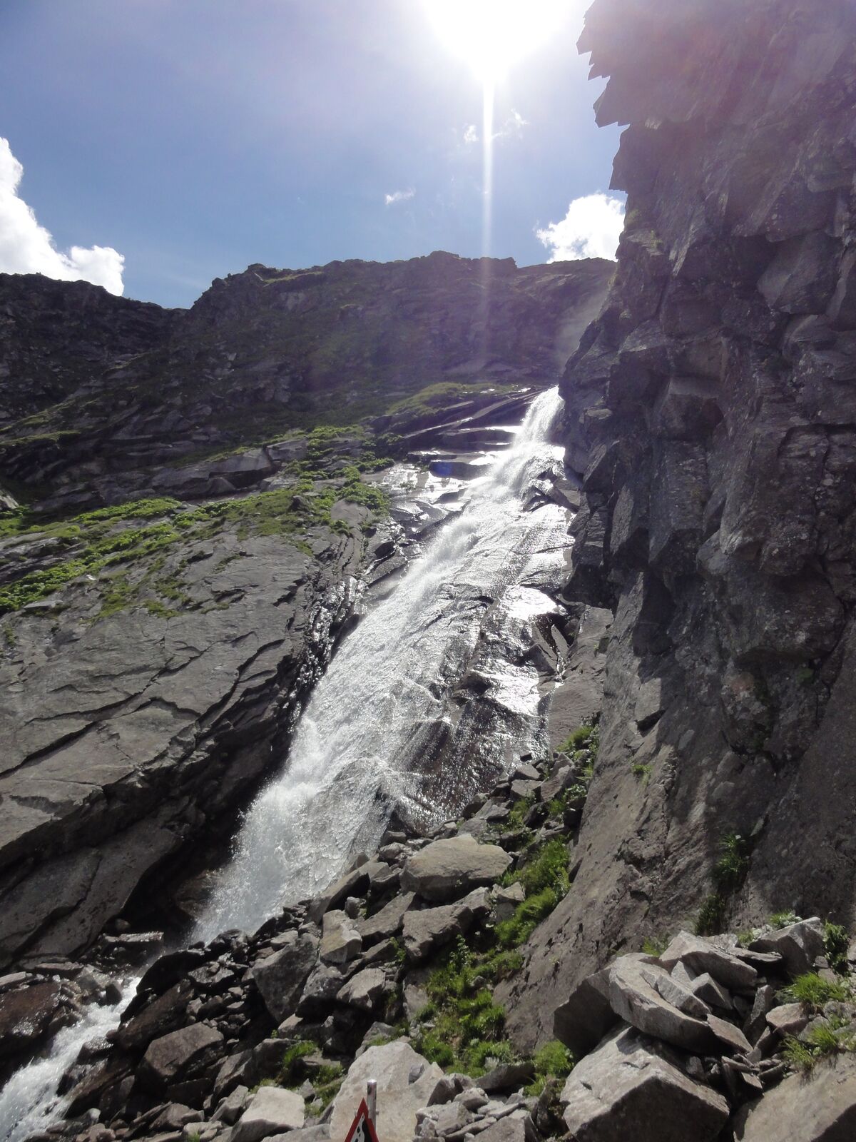
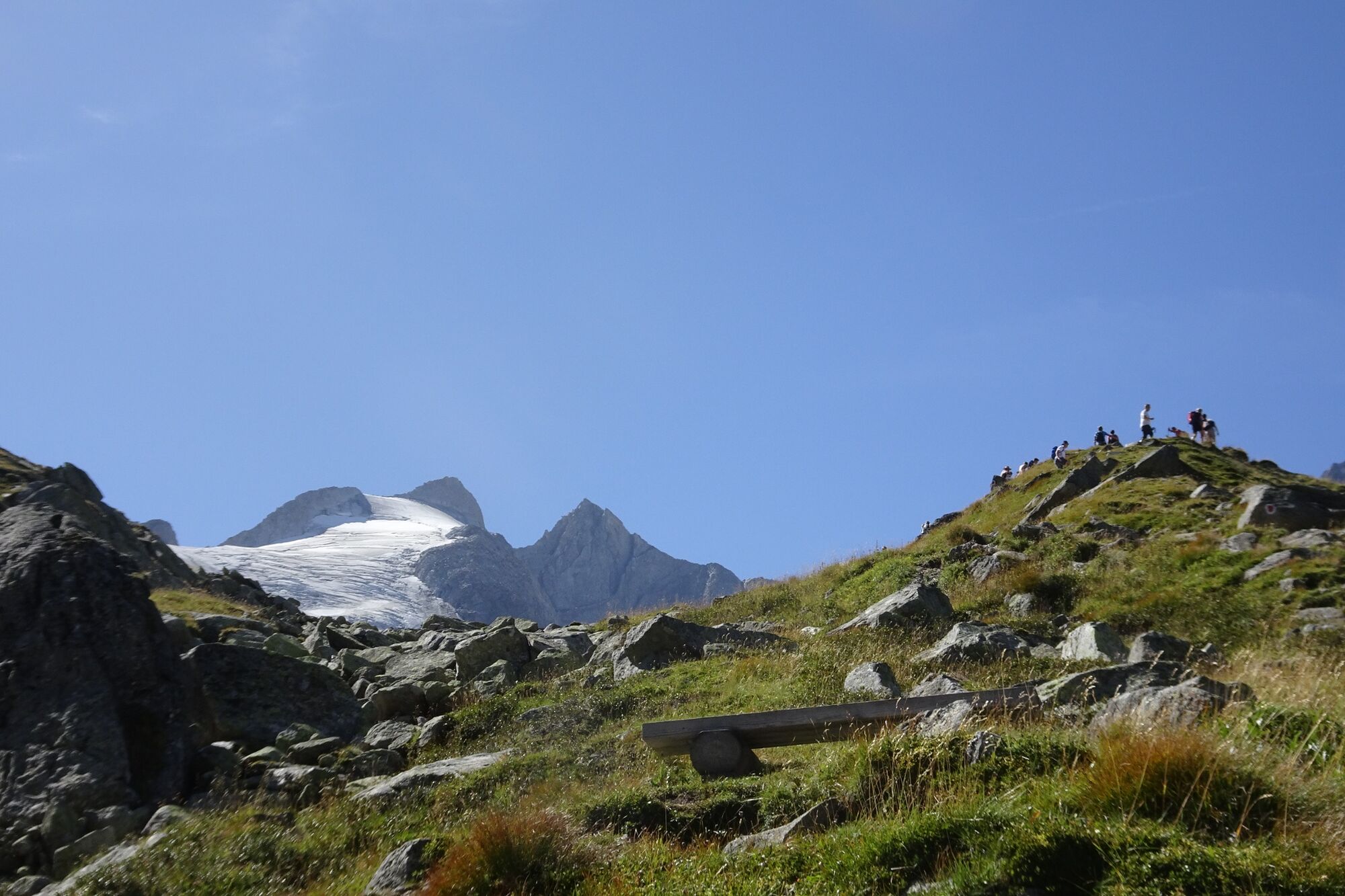
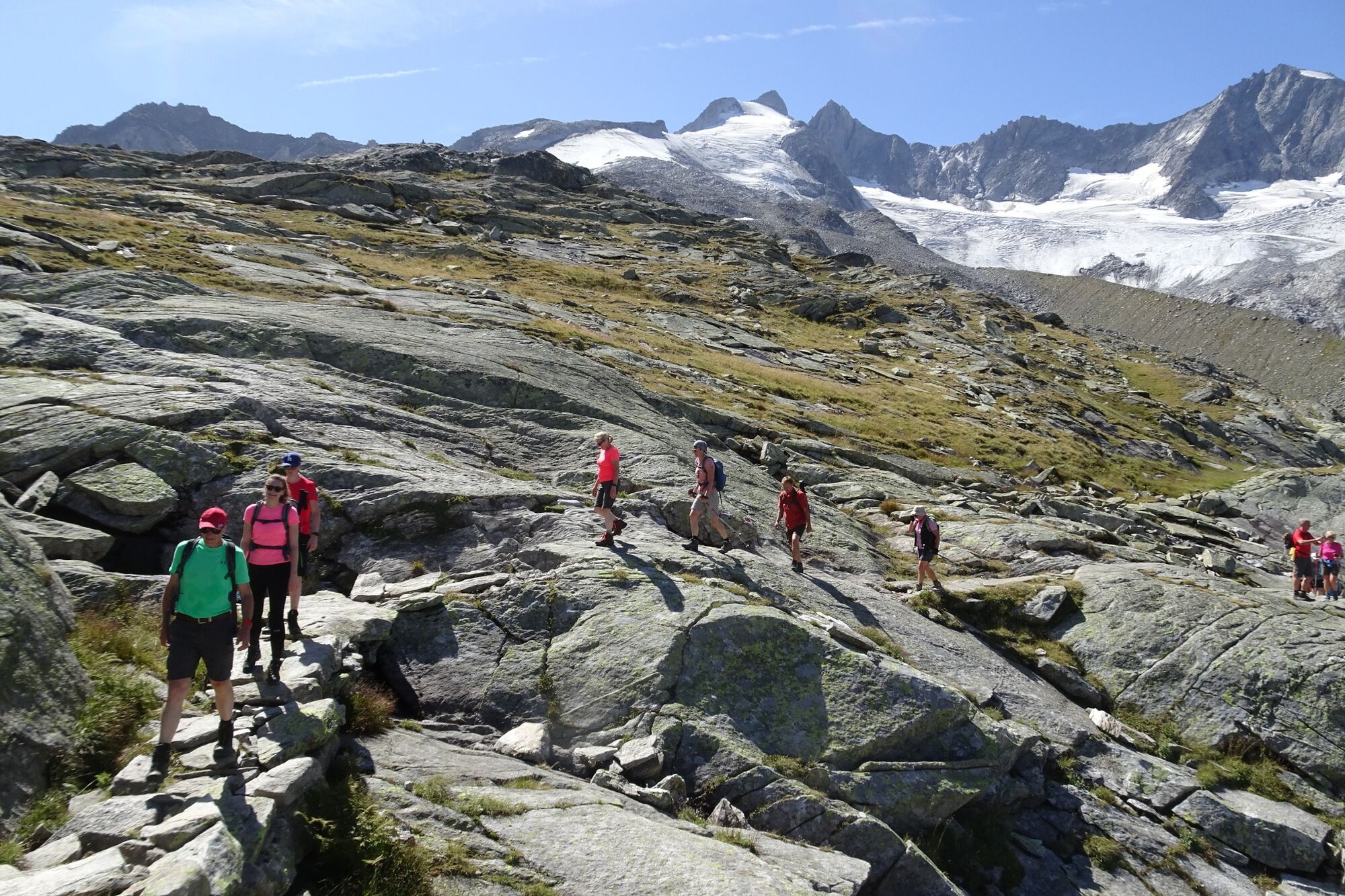
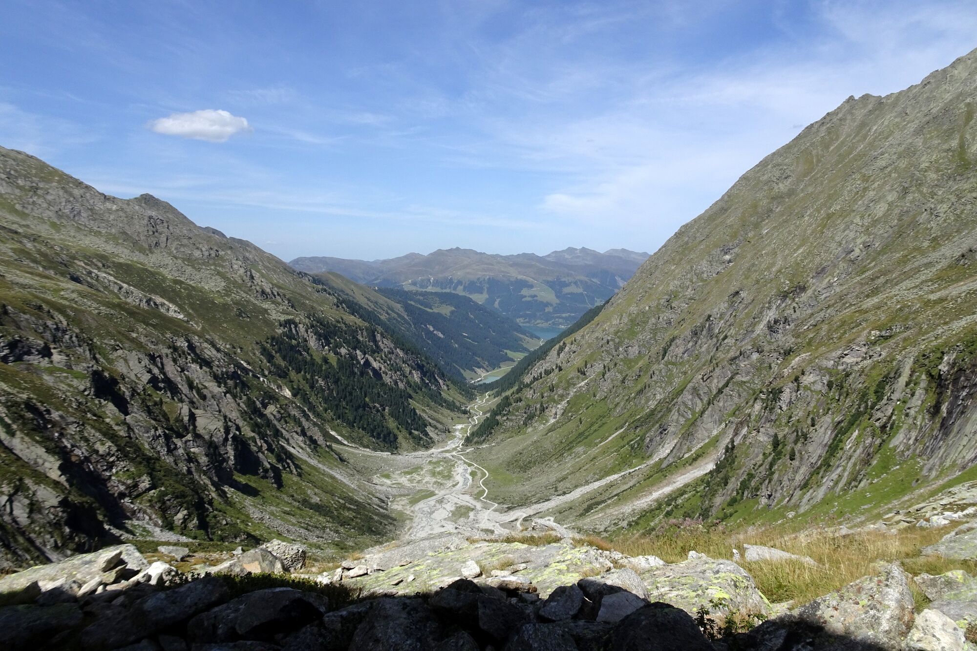
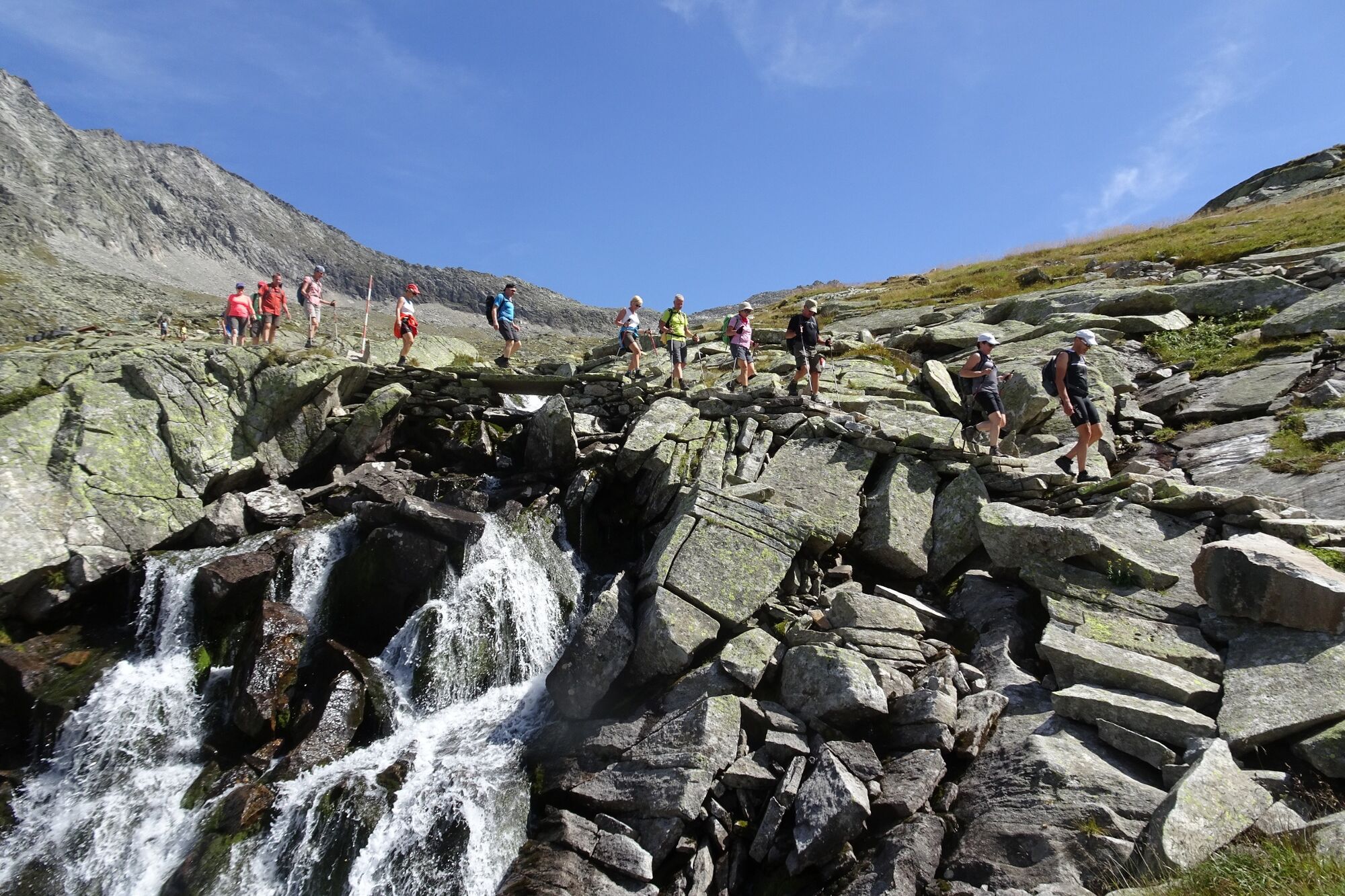
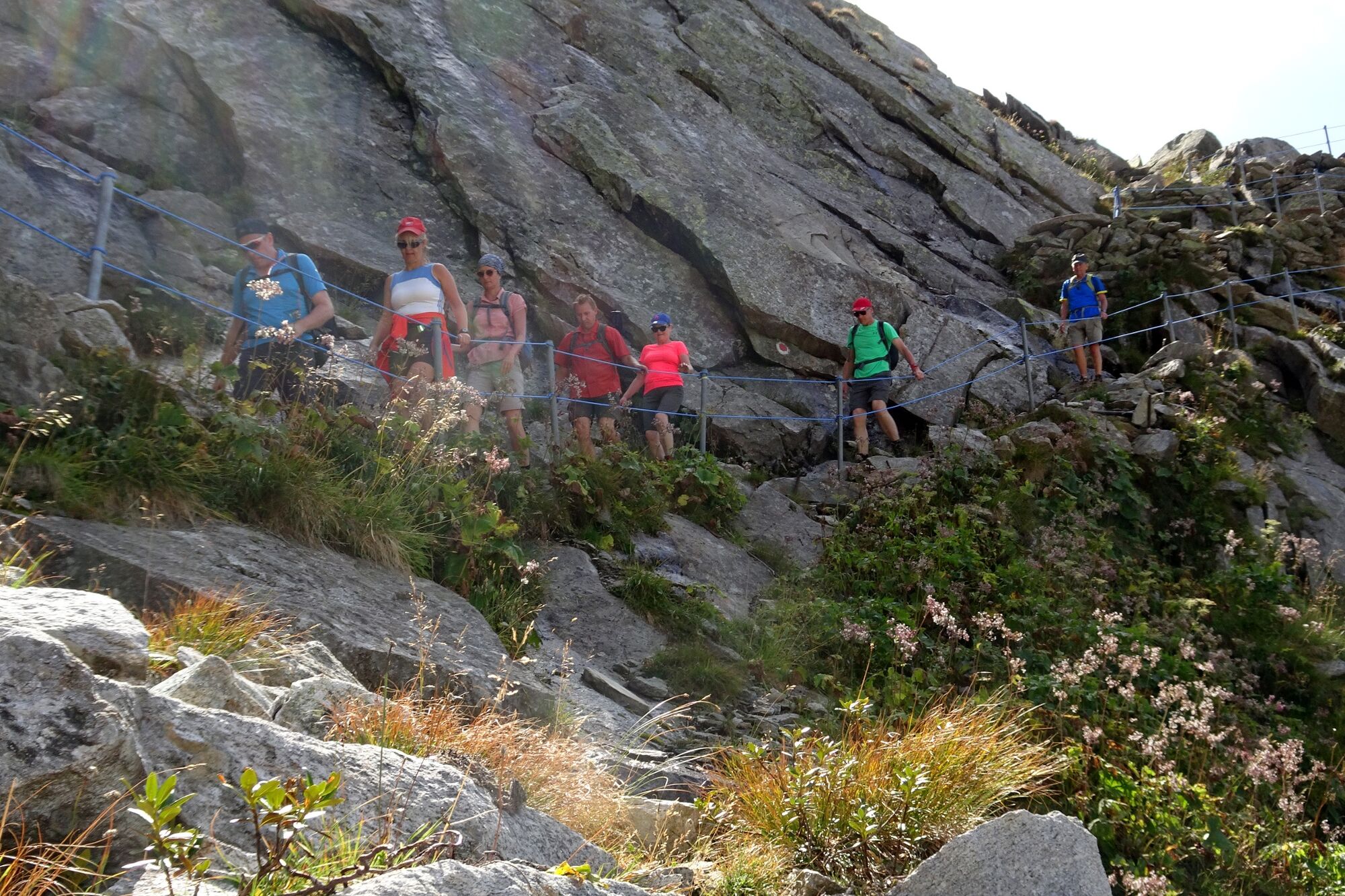
Eine traumhafte Wanderung direkt in das Herz des Nationalpark Hohe Tauern - das Ziel ist eine schöne Berghütte, wo man gemütlich eine Einkehr machen kann.
- Dificultad
-
difícil
- Valoración
-
- Ruta
-
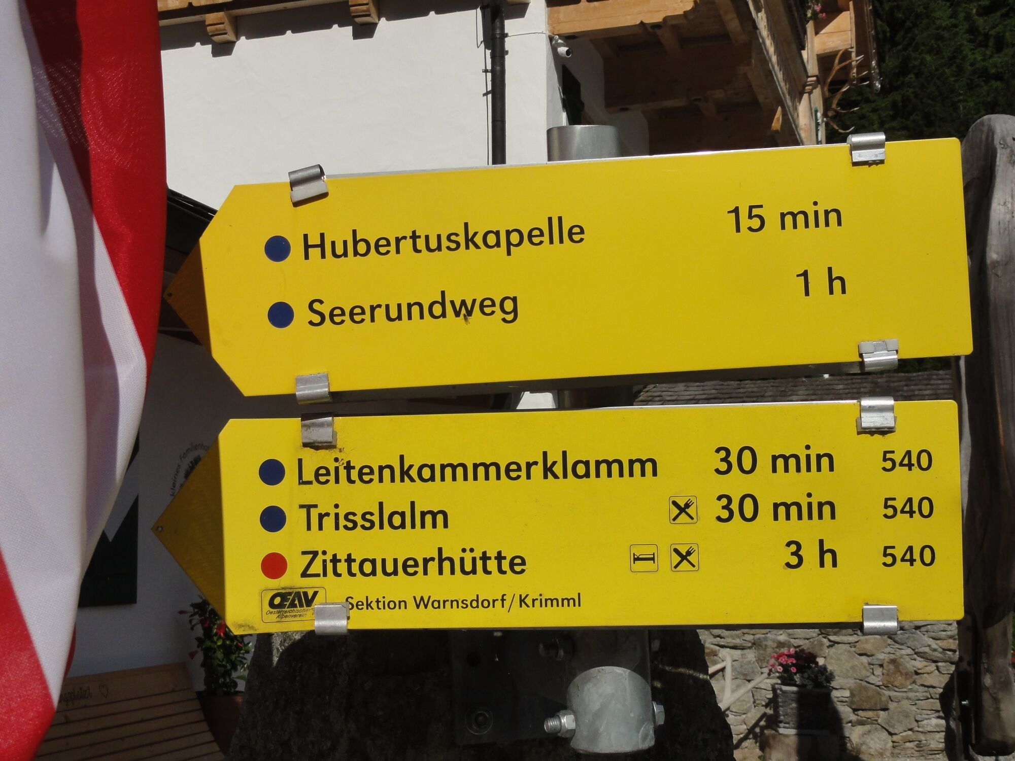
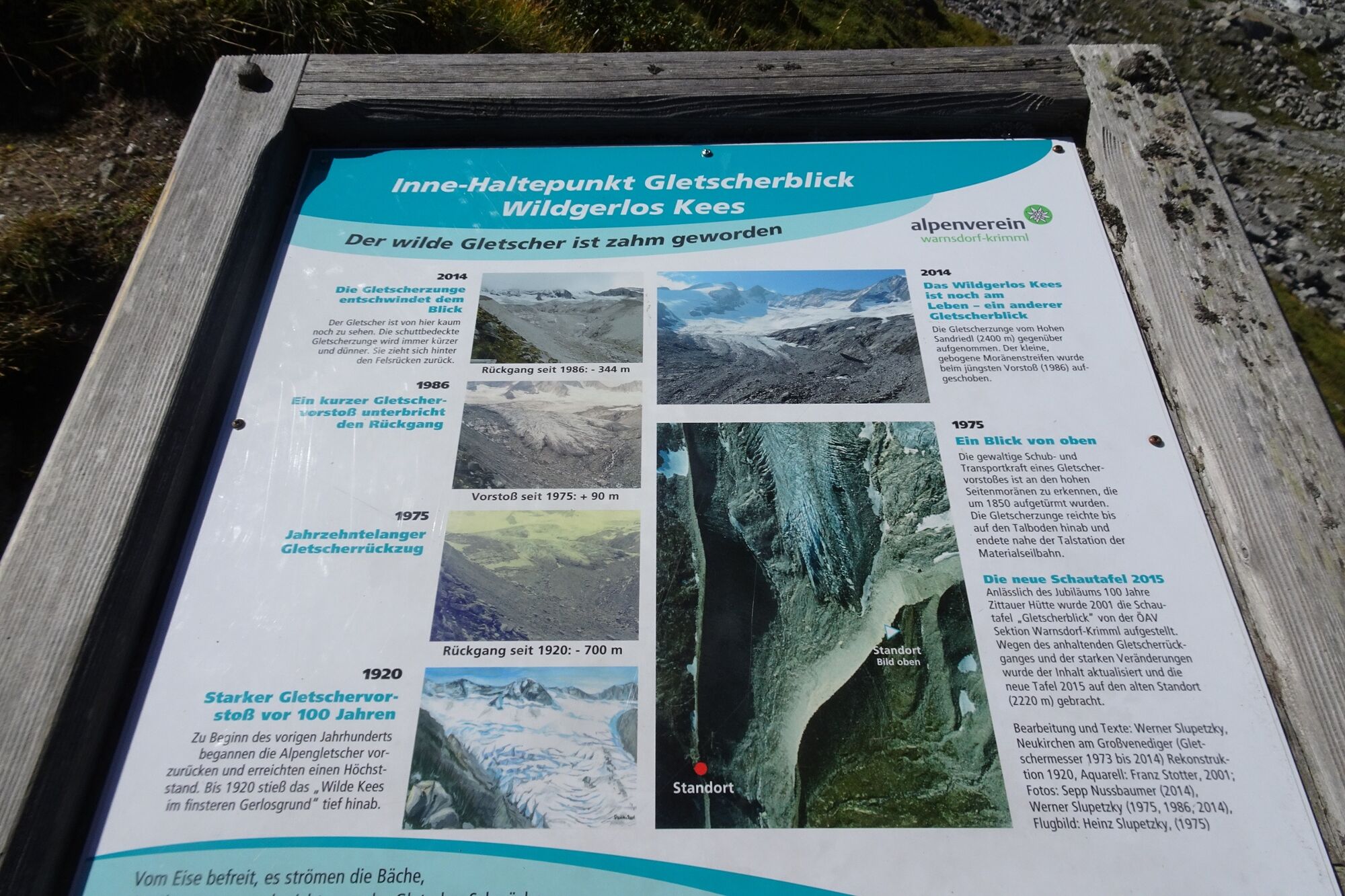
Alpengasthof FinkauZittauer Hütte6,3 kmGletscherblick7,0 kmAlpengasthof Finkau12,8 km
- La mejor temporada
-
enefebmarabrmayjunjulagosepoctnovdic
- Punto álgido
- 2.310 m
- Punto final
-
Parkplatz beim Gasthof Finkau
- Perfil alto
-


-

-
AutorLa gira Zittauer Hütte im Wildgerlostal 2.328 m es utilizado por outdooractive.com proporcionado.
GPS Downloads


Información general
Punto de avituallamiento
Secreto
Vistas panorámicas
Más circuitos por las regiones
-
Zillertal Arena
1322
-
Krimml - Hochkrimml
325