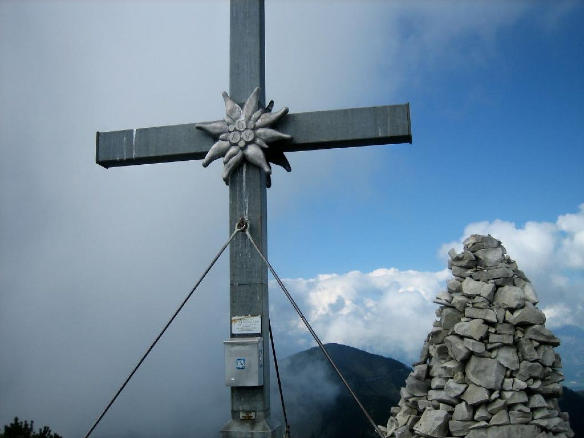
Schmittenstein day round hike (No.74) Krispl-Gaissau, (stamp post, 24 points)

Senderismo


© cheugl-tourenerfassung - Christian Heugl


- Breve descripción
-
Ascent:
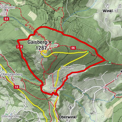
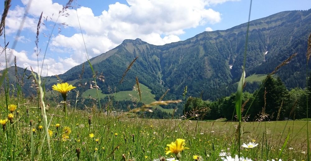
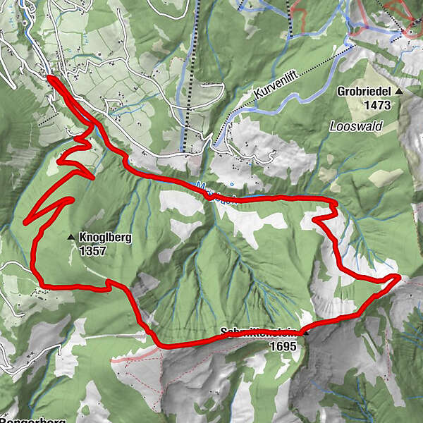
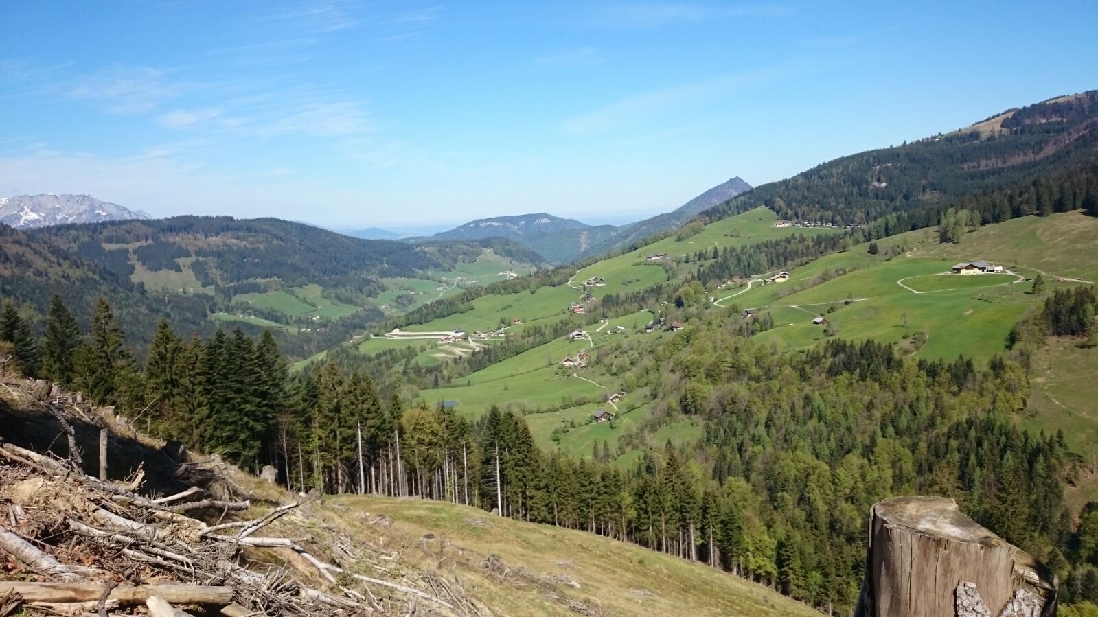
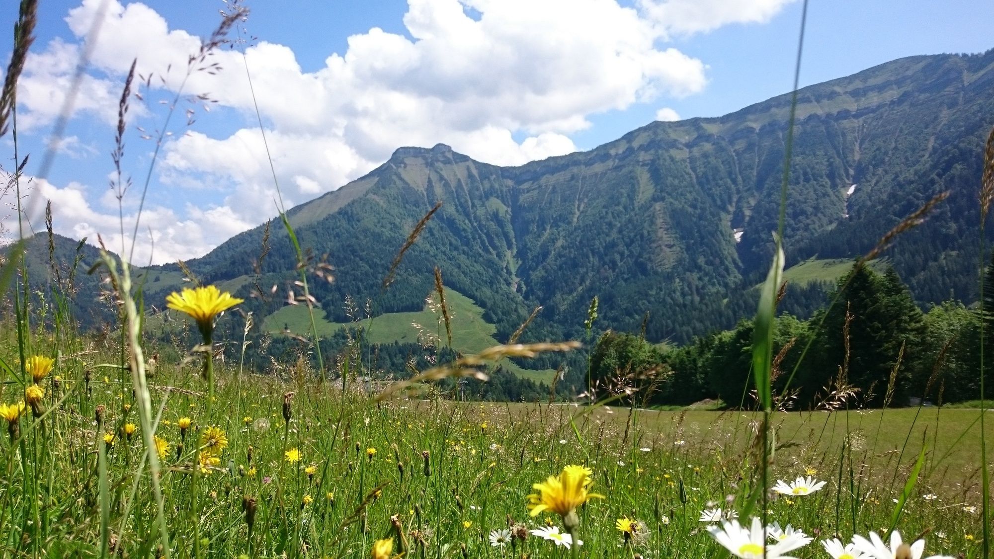
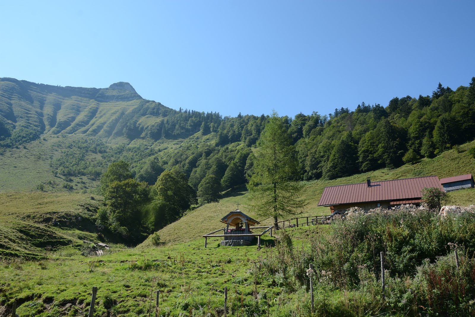
Gaissau village center-Mörtelbach-Zisterbergalmen-Sattelhöhe(from here ÖAV trail 840) - Schmittenstein - Schlenken.
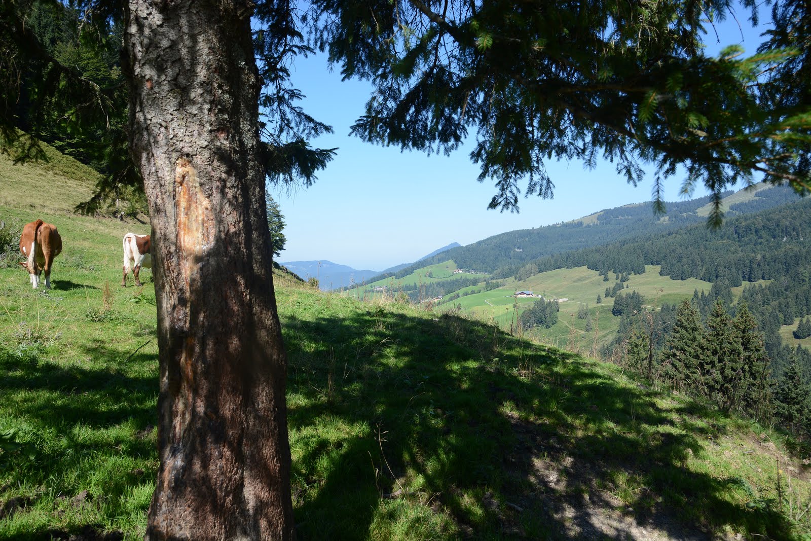
Descent:
Jagernase-Formau- Knoglstrasse-Mörtelbach along - Gaissau village center
Hike also possible the other way round
- Dificultad
-
difícil
- Valoración
-
- Ruta
-
GaißauFormau5,4 kmJägernase (1.507 m)6,9 kmSchlenken (1.648 m)7,4 kmSchmittenstein (1.695 m)9,1 kmSattel (1.287 m)10,5 kmletzte Quelle vor dem Schmittenstein10,9 kmZisterbergkapelle11,7 kmZisterbergalm11,8 kmGaißau16,7 km
- La mejor temporada
-
enefebmarabrmayjunjulagosepoctnovdic
- Punto álgido
- 1.687 m
- Punto final
-
Gemeindezentrum Gaissau
- Perfil alto
-

- Autor
-
La gira Schmittenstein day round hike (No.74) Krispl-Gaissau, (stamp post, 24 points) es utilizado por outdooractive.com proporcionado.
GPS Downloads


Información general
Vistas panorámicas
Más circuitos por las regiones