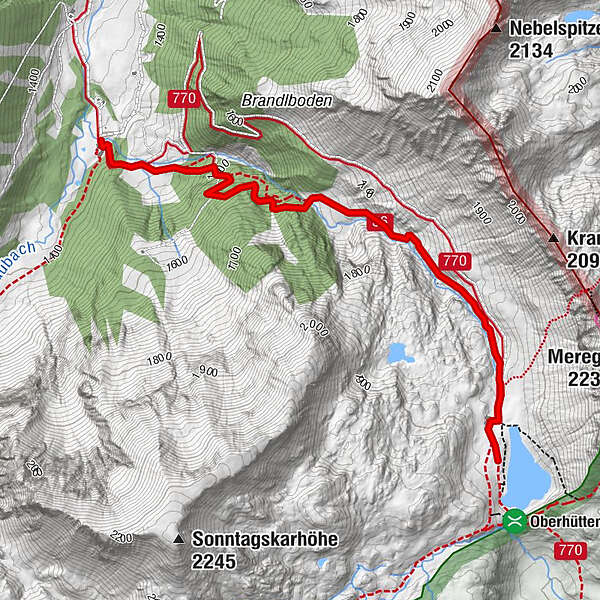
From the Vögeialm to the Oberhüttensee

Senderismo

- Breve descripción
-
We reach the Vögeilalm by turning off the Ennstal road in Pichl, following signs for Forstau and driving through Forstau Valley until we reach its remotest corner, the Vögeialm.
- Dificultad
-
fácil
- Valoración
-
- Ruta
-
Vögeialm0,0 kmOberhütte2,8 kmOberhütte am See2,9 km
- La mejor temporada
-
enefebmarabrmayjunjulagosepoctnovdic
- Punto álgido
- 1.868 m
- Punto final
-
Oberhüttensee
- Perfil alto
-


- Autor
-
La gira From the Vögeialm to the Oberhüttensee es utilizado por outdooractive.com proporcionado.
GPS Downloads


Información general
Punto de avituallamiento
Flora
Fauna
Más circuitos por las regiones
-
Schladming - Dachstein
3000
-
Obertauern
1642
-
Untertauern
505


