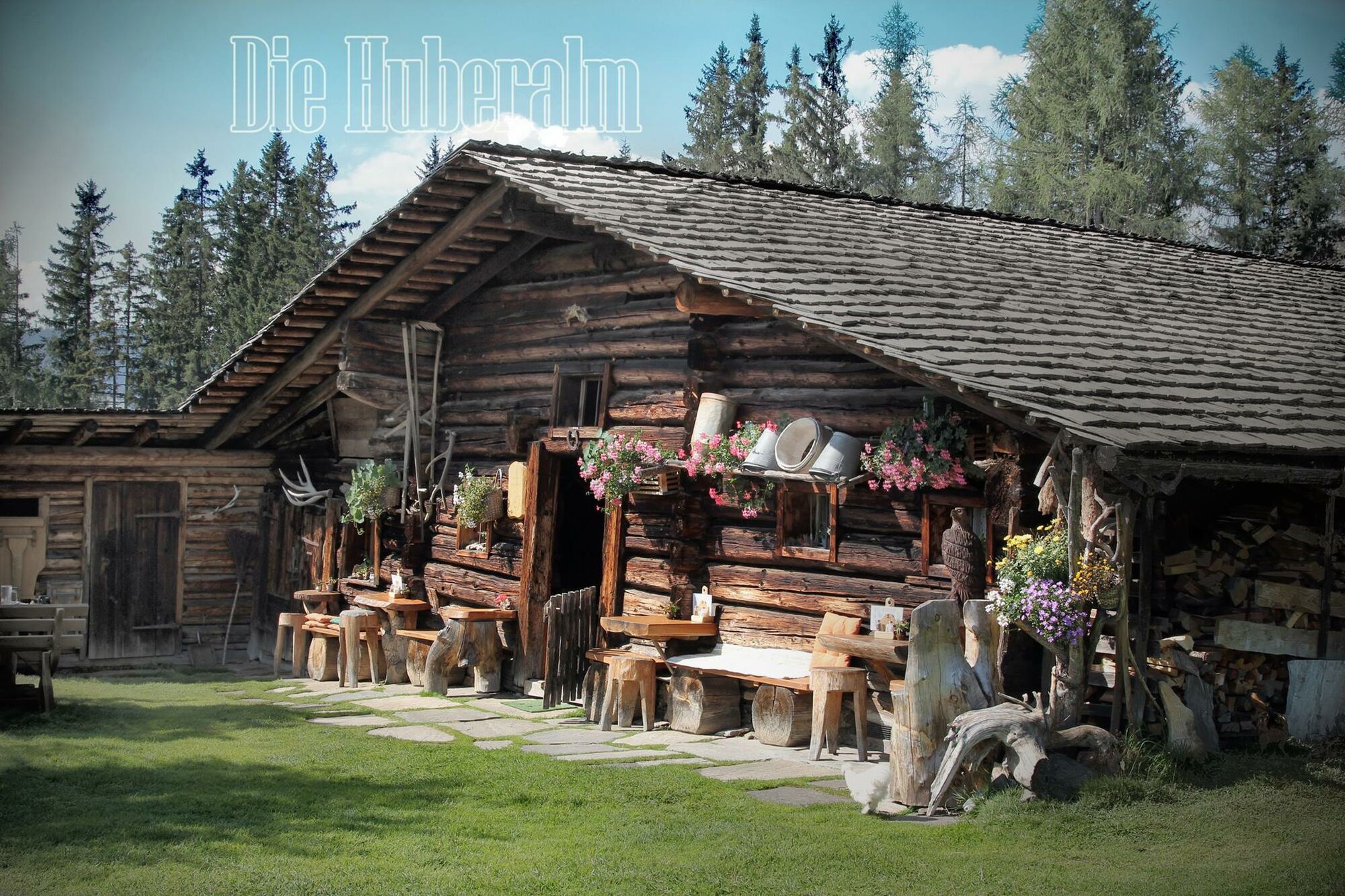
Hike to the Huberalm und Königsbergalm

Senderismo


- Breve descripción
-
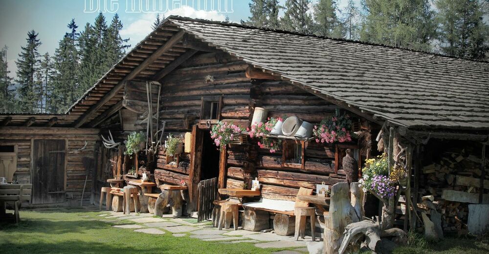
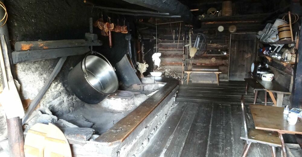
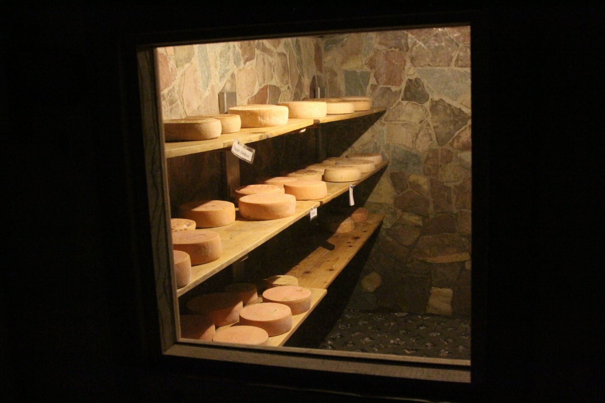
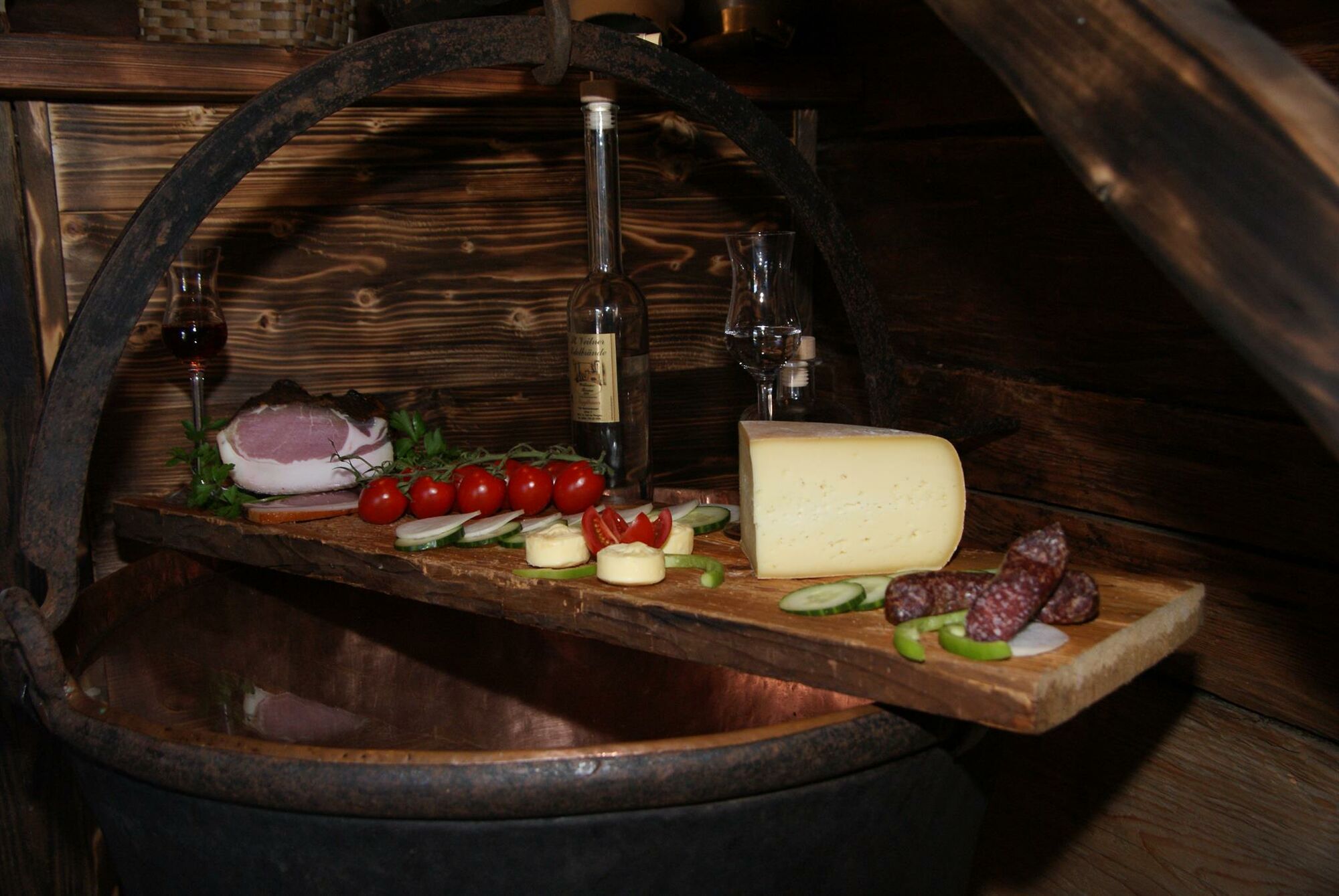
Beautiful alpine hike to the alpine huts Huberalm and Königsbergalm in Dienten am Hochkönig with a great panoramic view of the Hohe Tauern and the famous Klingspitz.
- Dificultad
-
medio
- Valoración
-
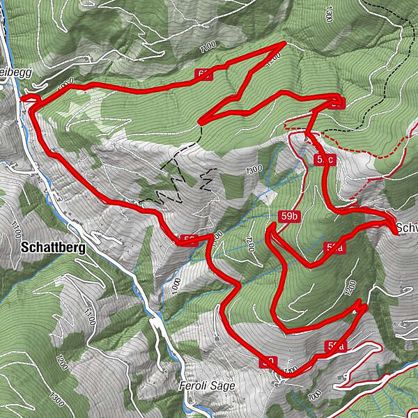
- Ruta
-
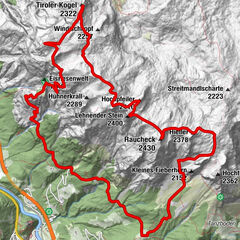
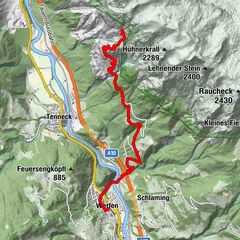
Huberalm3,9 kmKönigsbergalm4,9 kmSonnberg9,9 kmSchattberg10,1 km
- La mejor temporada
-
enefebmarabrmayjunjulagosepoctnovdic
- Punto álgido
- 1.428 m
- Punto final
-
Keilbrücke/Fischerstüberl
- Perfil alto
-


- Autor
-
La gira Hike to the Huberalm und Königsbergalm es utilizado por outdooractive.com proporcionado.
GPS Downloads


Información general
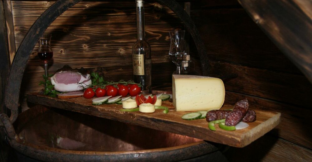
Punto de avituallamiento
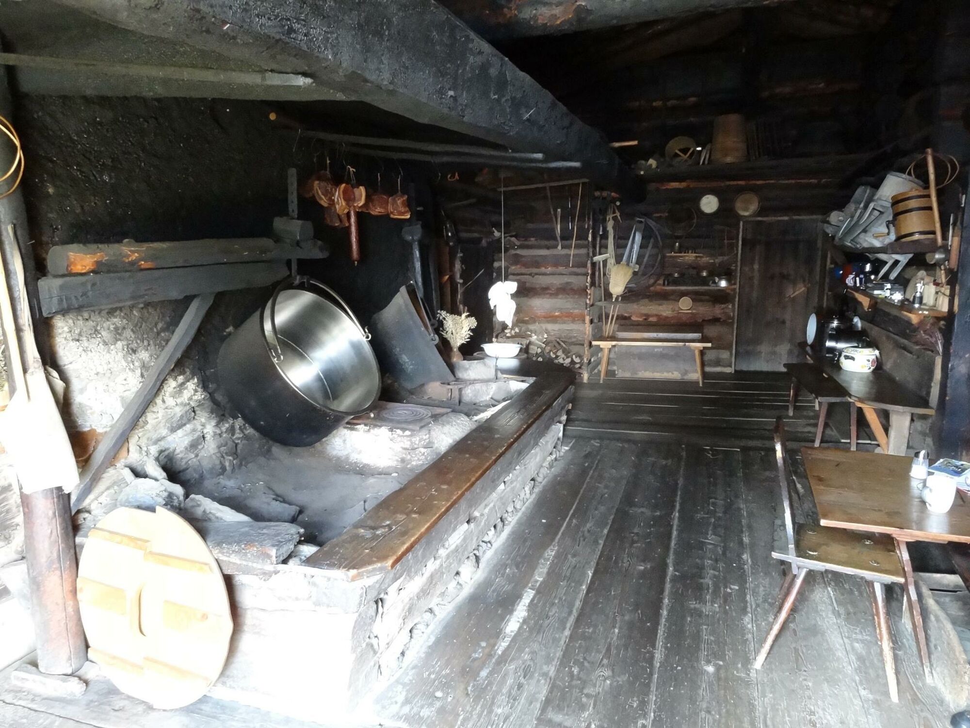
Secreto
Vistas panorámicas
Más circuitos por las regiones
-
Hochkönig
2016
-
Dienten am Hochkönig
536