
© (c) Wagrain-Kleinarl Tourismus

© (c) Wagrain-Kleinarl Tourismus

© (c) Wagrain-Kleinarl Tourismus
© Wagrain-Kleinarl Tourismus - Erwin Trampitsch
- Breve descripción
-
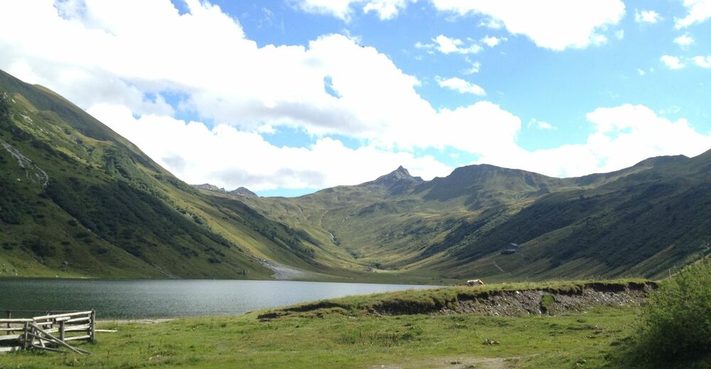
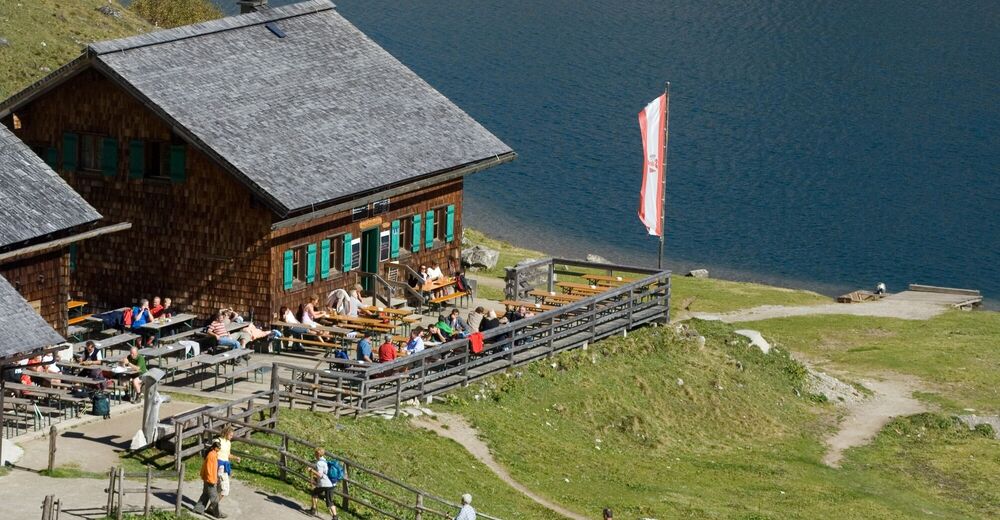
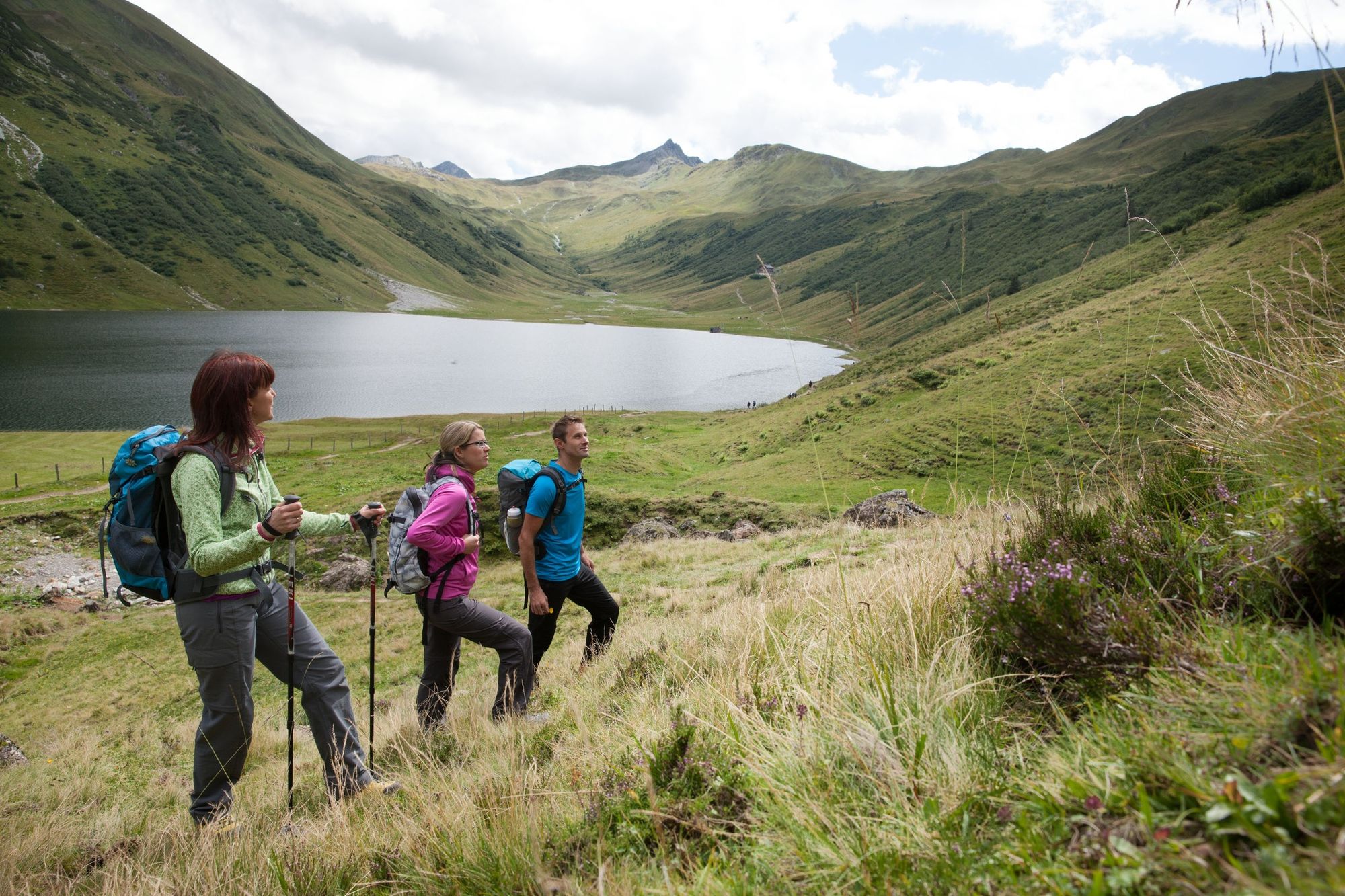
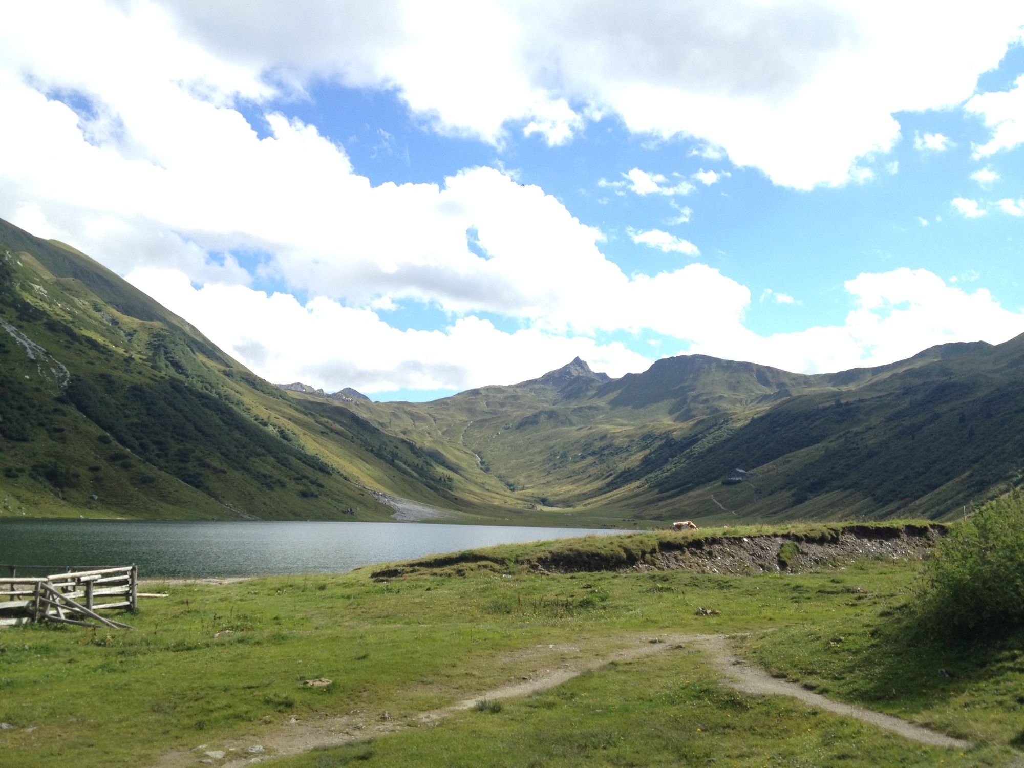
Wonderful and promising hike from the Jägersee or alternatively the Schwabalm, over the Tappenkarsee to the Glingspitze.
- Dificultad
-
medio
- Valoración
-
- Ruta
-
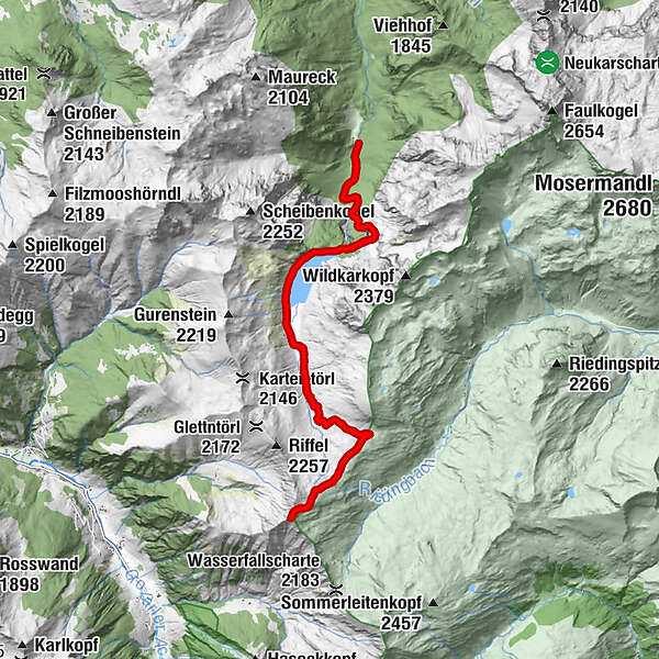
Tappenkarsee Alm3,6 kmWurmkogel (2.151 m)7,9 kmGlingspitze (2.433 m)9,4 kmWurmkogel (2.151 m)10,8 kmTappenkarsee Alm15,3 kmMaterialseilbahn Tappenkaralm18,6 km
- La mejor temporada
-
enefebmarabrmayjunjulagosepoctnovdic
- Punto álgido
- 2.416 m
- Punto final
-
summit Glingspitze (2433m)
- Perfil alto
-


-

-
AutorLa gira Glingspitze (2433m) es utilizado por outdooractive.com proporcionado.
GPS Downloads


Información general
Punto de avituallamiento
Vistas panorámicas
Más circuitos por las regiones


