Puch: Almerberg - circular trail (No. 15, 8 points)

Senderismo
© Tourismusverband Puch - Barbara Gerber

© Community - bergfexsport

© Puch bei Salzburg

© Community - bergfexsport
© Tourismusverband Puch - Barbara Gerber

© Tourismusverband Puch - Barbara Gerber

© Tourismusverband Puch - Barbara Gerber

© Tourismusverband Puch - Barbara Gerber

© Tourismusverband Puch - Barbara Gerber

© Tourismusverband Puch - Barbara Gerber
- Breve descripción
-
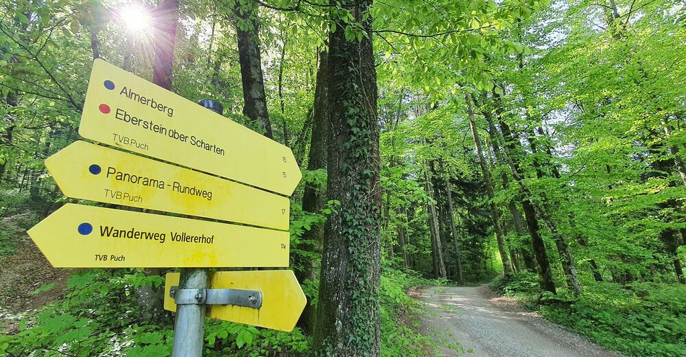
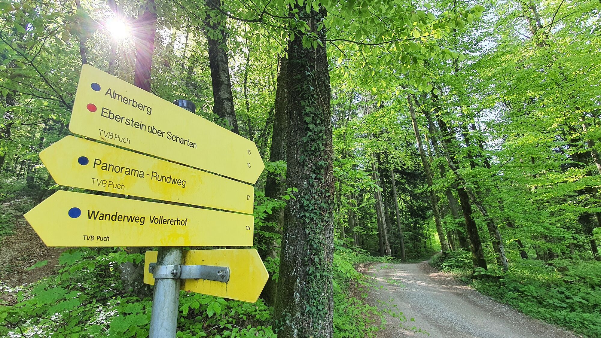
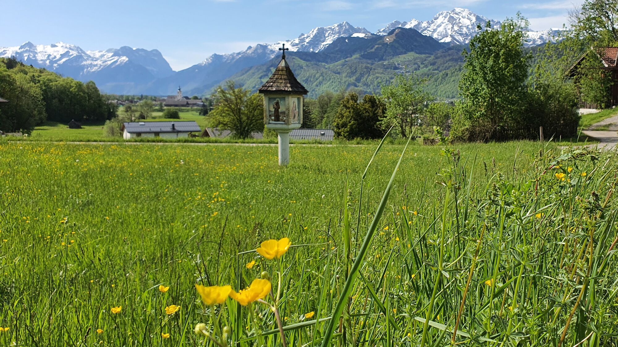
Easy hiking tour to the top of the Almerberg (elev. 726 m) with option to continue to the top of the more challenging Eberstein at 776 m.
- Dificultad
-
medio
- Valoración
-
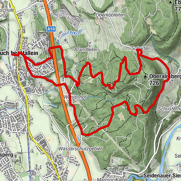
- Ruta
-
Pfarrkirche Puch bei Hallein0,0 kmPuch bei Hallein0,1 kmGasthof Kirchenwirt0,2 kmPuch bei Hallein8,4 km
- La mejor temporada
-
enefebmarabrmayjunjulagosepoctnovdic
- Punto álgido
- 715 m
- Punto final
-
Public parking in the center of Puch (next to the village hall).
- Perfil alto
-


-
-
AutorLa gira Puch: Almerberg - circular trail (No. 15, 8 points) es utilizado por outdooractive.com proporcionado.
GPS Downloads


Información general
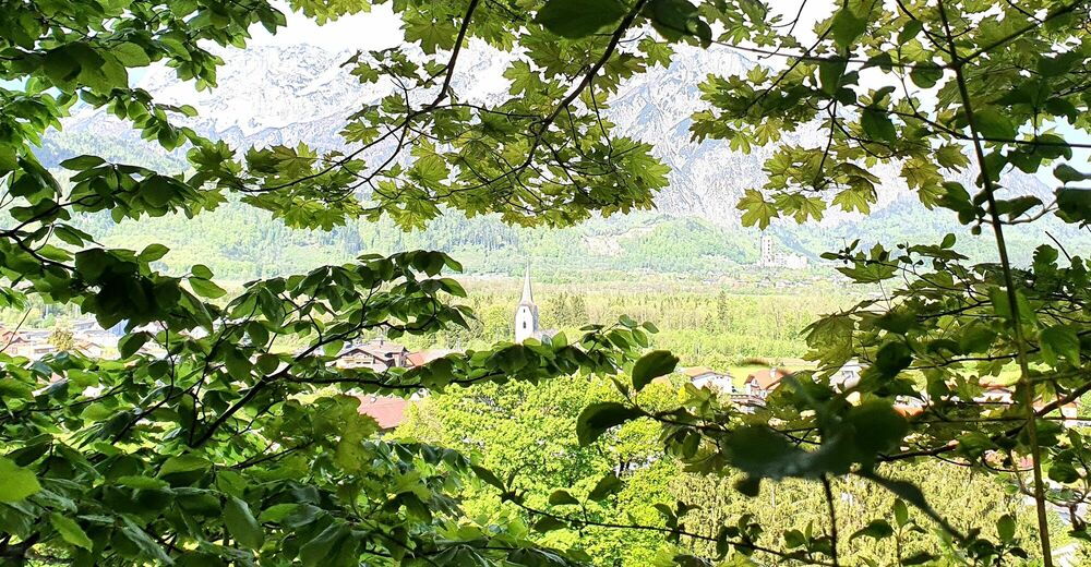
Vistas panorámicas
Más circuitos por las regiones
-
Tennengau - Dachstein West
1991
-
Oberalm
606


