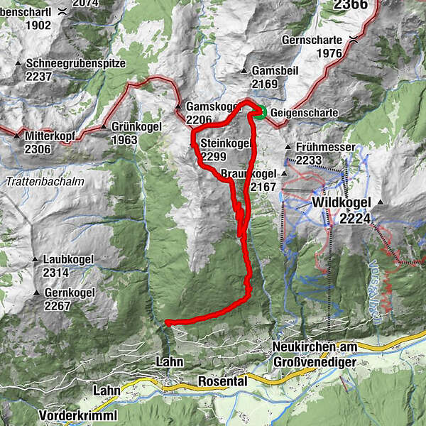
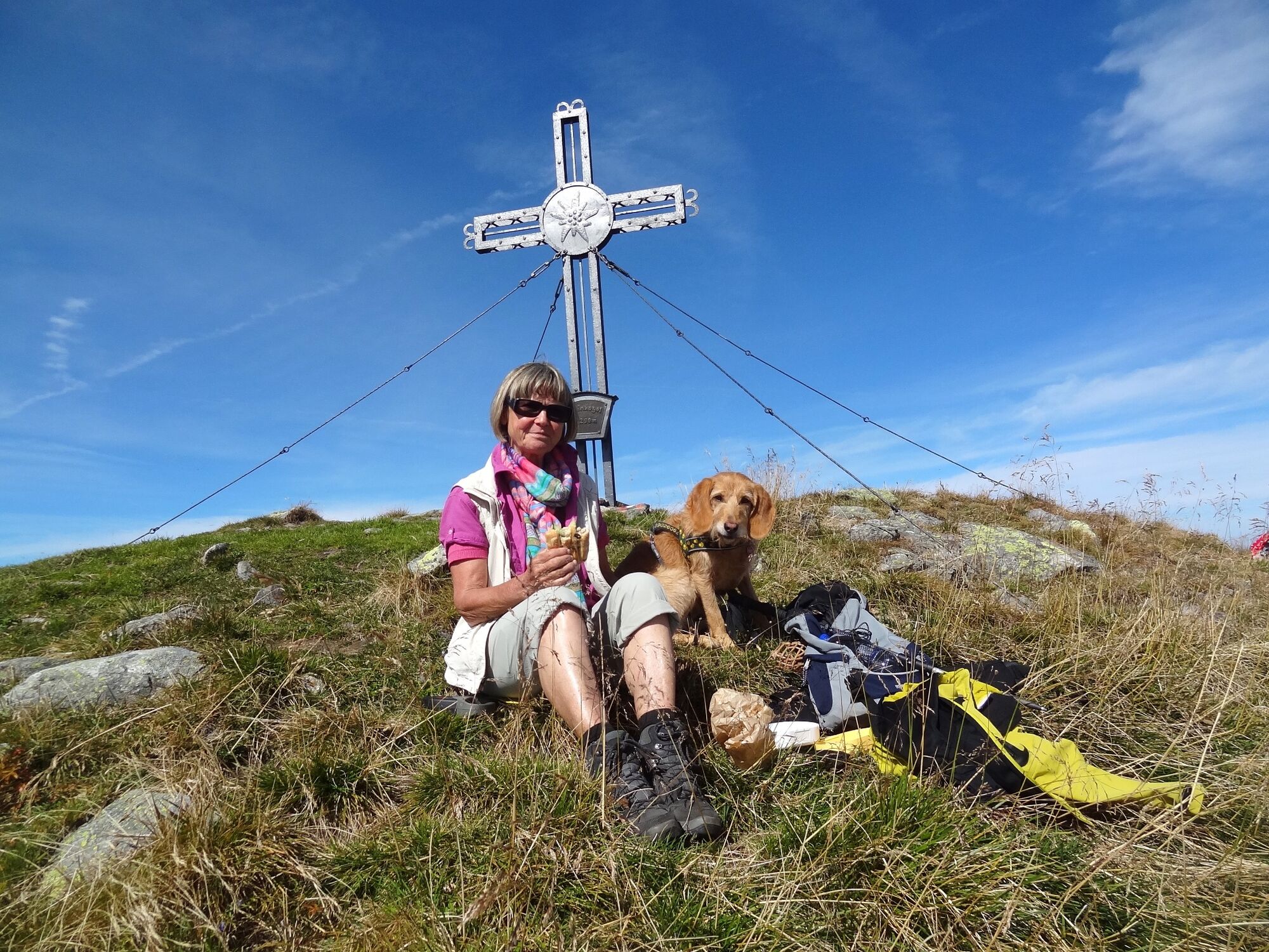
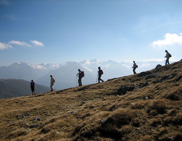
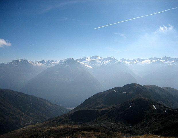
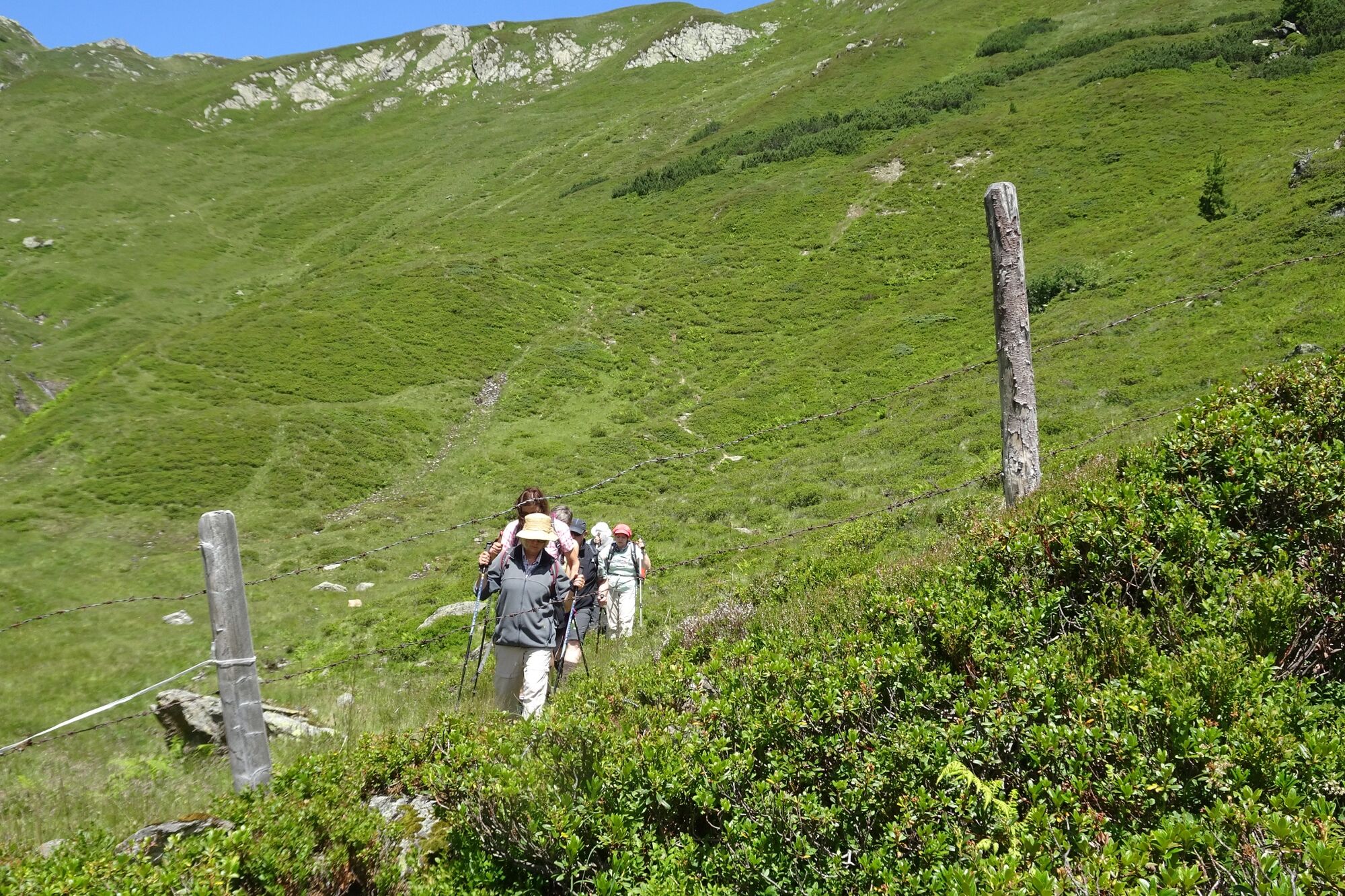
Gipfeltour Steinkogel 2.299 m - Steineralm

Senderismo

© Wanderhotel Kirchner - Christian Kirchner - www.wanderhotel.at
© Wanderhotel Kirchner - Christian Kirchner

© Wanderhotel Kirchner - Christian Kirchner

© Wanderhotel Kirchner - Christian Kirchner - www.wanderhotel.at

© Wanderhotel Kirchner - Christian Kirchner - www.wanderhotel.at

© Wanderhotel Kirchner - Christian Kirchner

© Wanderhotel Kirchner - Christian Kirchner - www.wanderhotel.at

© Wanderhotel Kirchner - Christian Kirchner

© Wanderhotel Kirchner - Christian Kirchner

© Wanderhotel Kirchner - Christian Kirchner

- Breve descripción
-
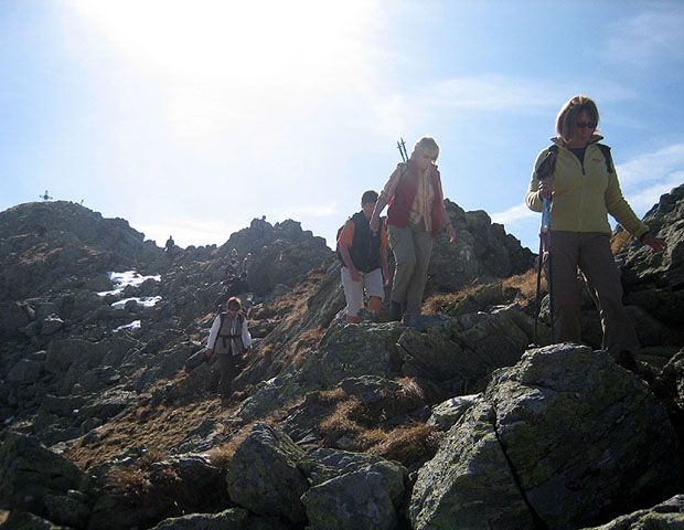
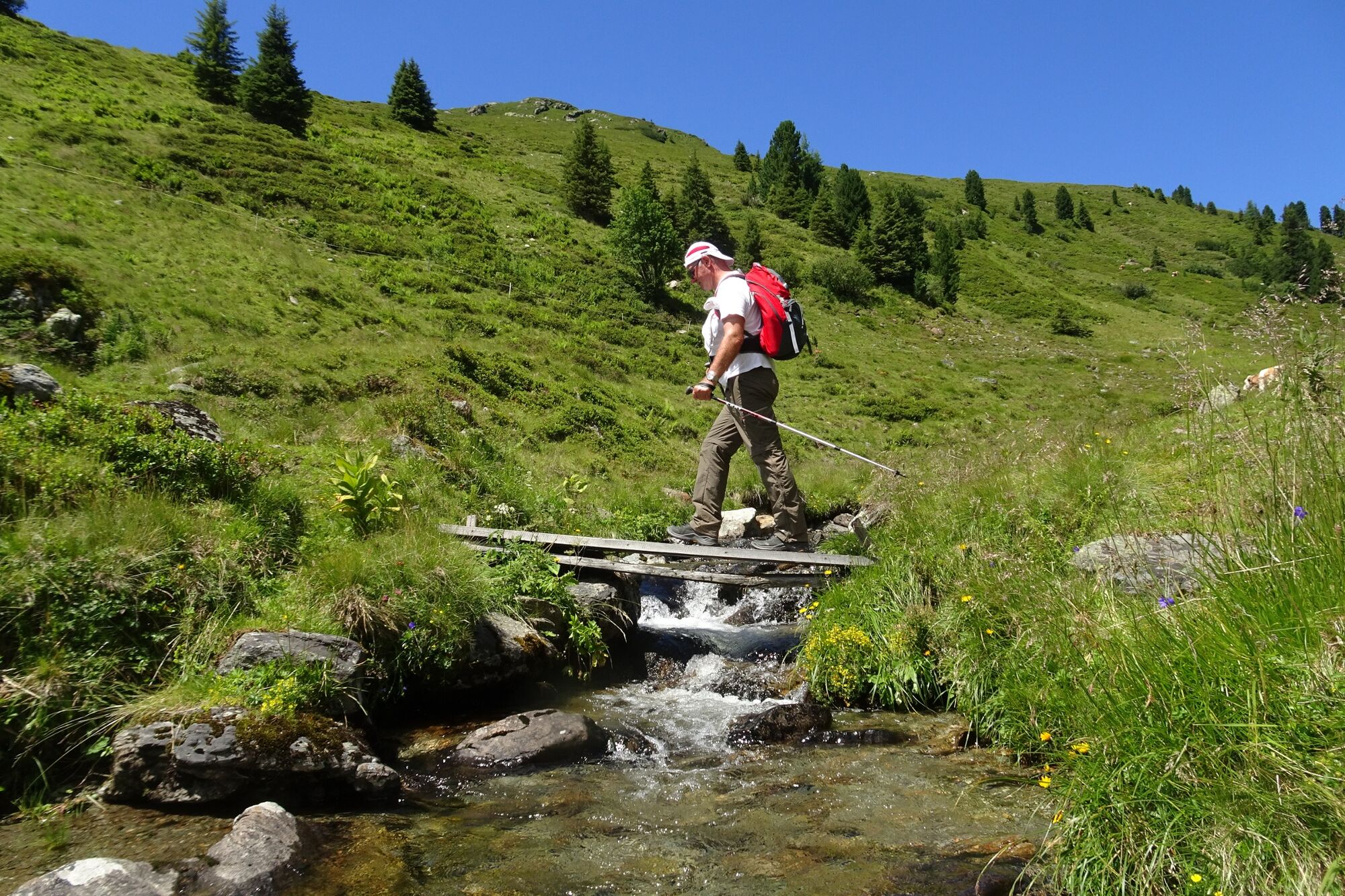
Der Steinkogel - mitten in den Grasbergen. Aber nur das letzte Stück etwas steinig, der restliche Weg führt über Almgebiet.
- Dificultad
-
difícil
- Valoración
-
- Ruta
-
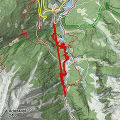
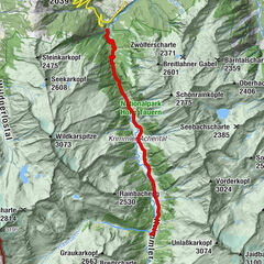
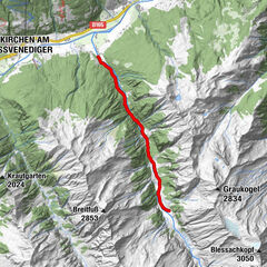
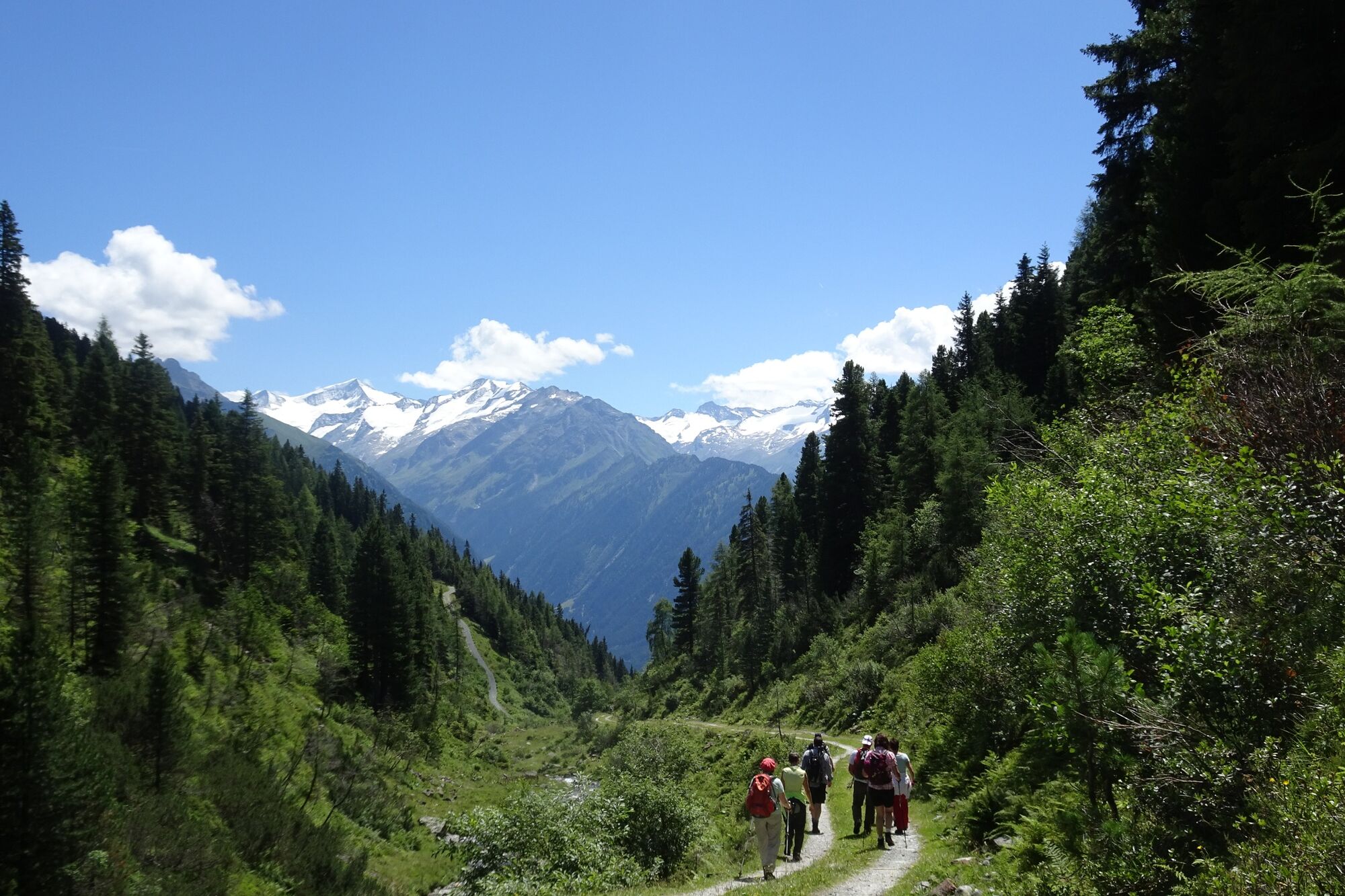
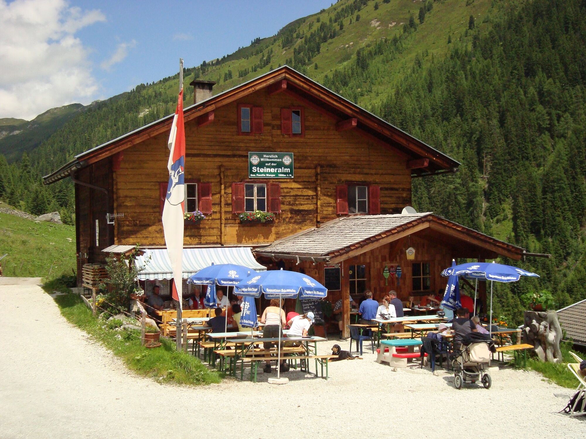
Taubensteinkapelle2,5 kmSteineralm (1.559 m)3,9 kmSteinkogel (2.299 m)7,9 kmSpeikkogel (2.232 m)8,7 kmSteineralm (1.559 m)13,5 kmTaubensteinkapelle15,0 km
- La mejor temporada
-
enefebmarabrmayjunjulagosepoctnovdic
- Punto álgido
- 2.262 m
- Punto final
-
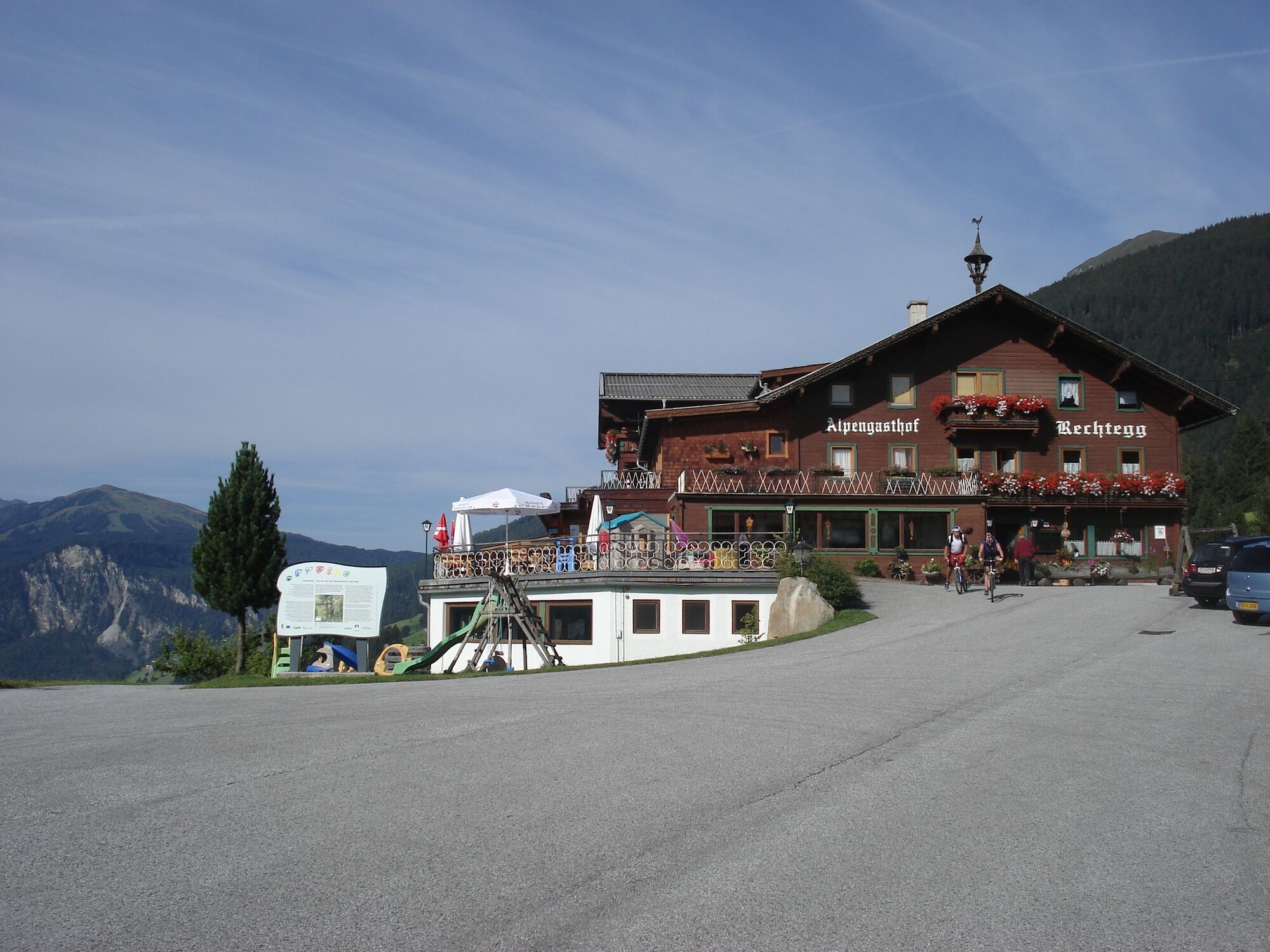
Parkplatz beim Gasthof Rechtegg
- Perfil alto
-


-

-
AutorLa gira Gipfeltour Steinkogel 2.299 m - Steineralm es utilizado por outdooractive.com proporcionado.
GPS Downloads


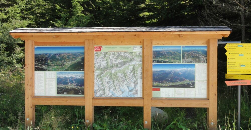
Información general
Punto de avituallamiento
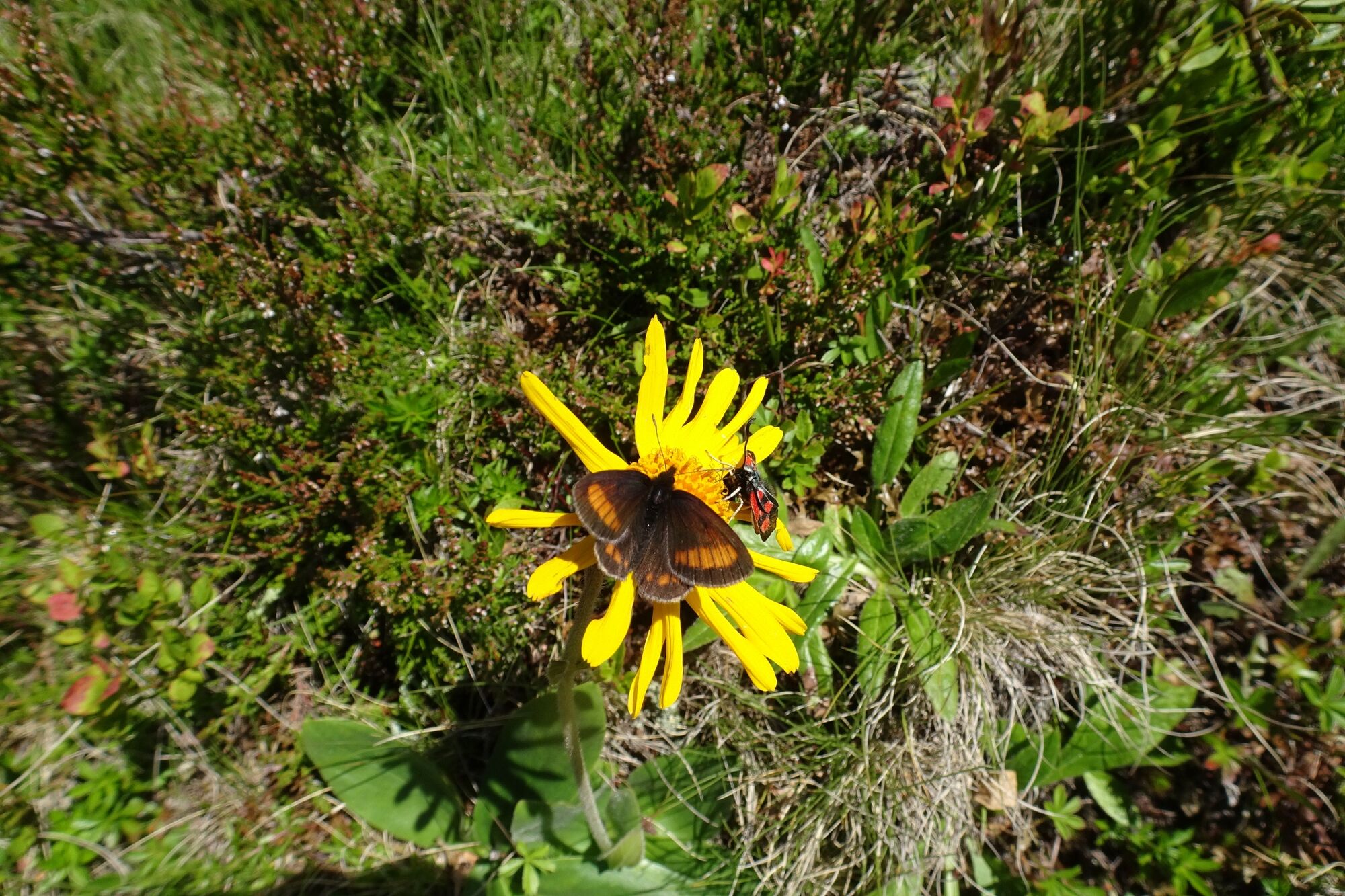
Vistas panorámicas
Más circuitos por las regiones