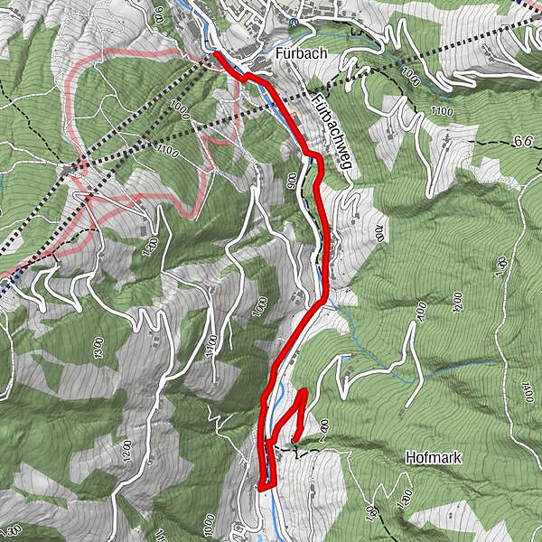
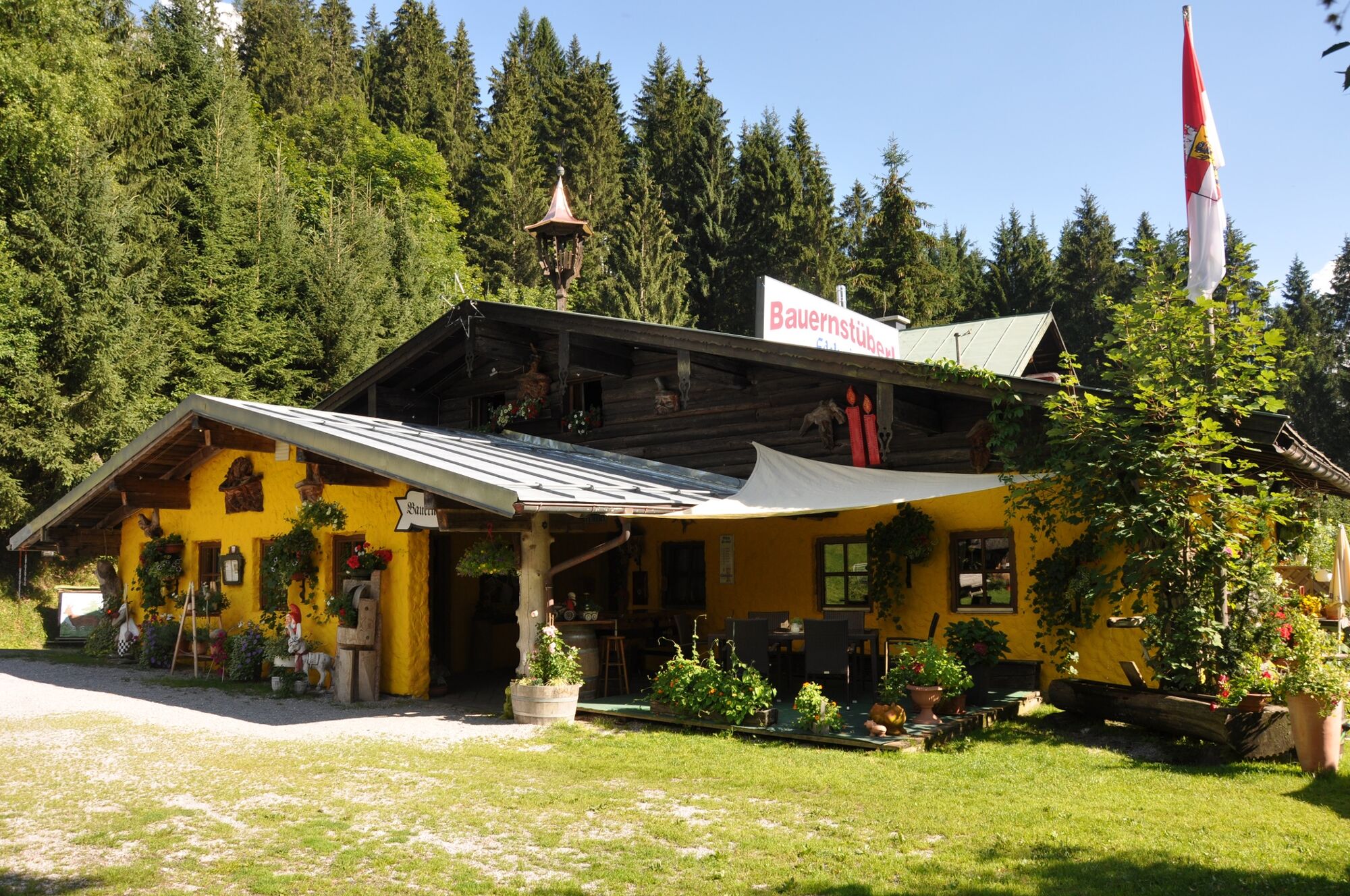
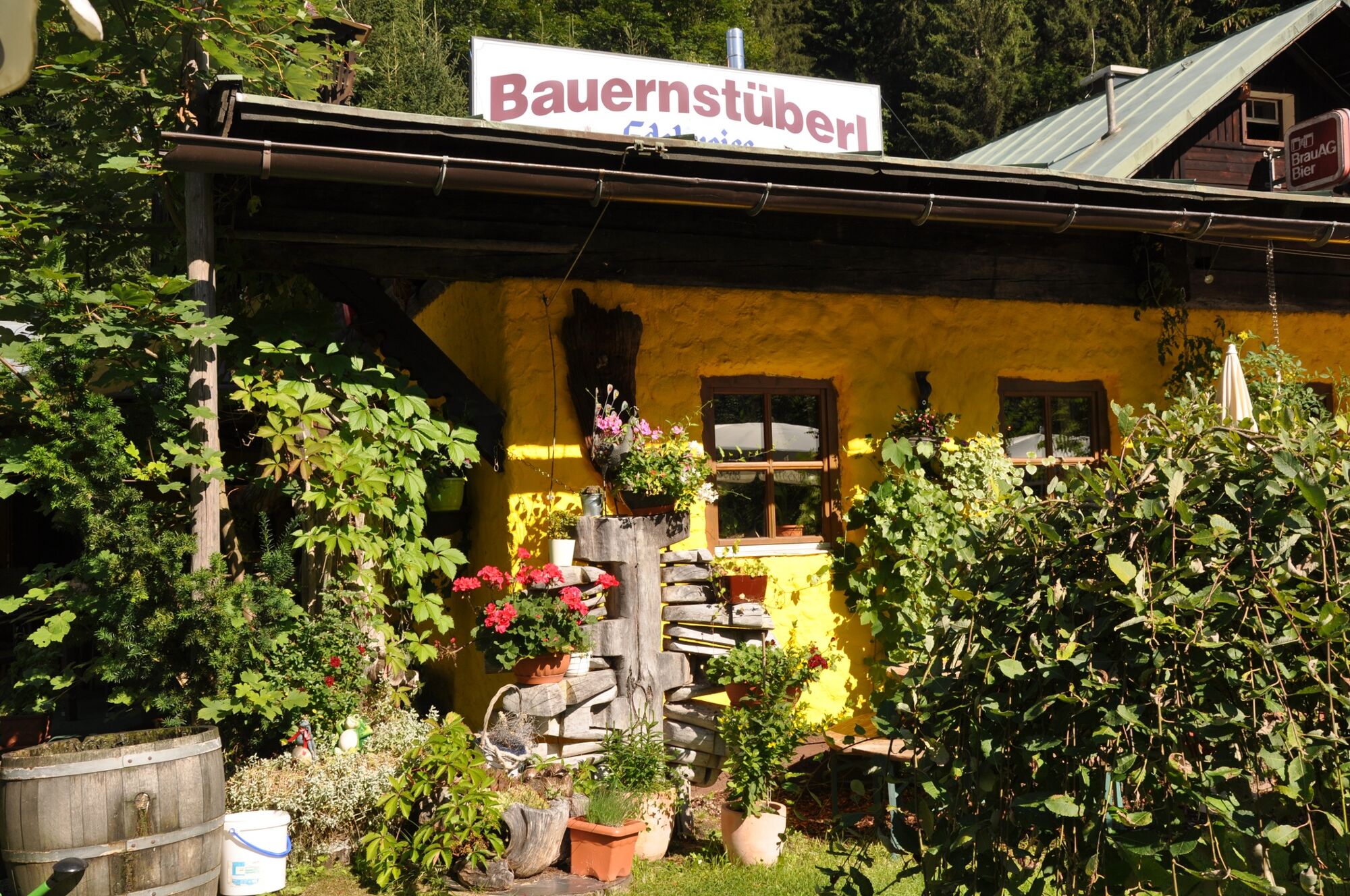
Bauernstüberl via the Kleinarl hiking trail

Senderismo


- Breve descripción
-
Comfortable, family-friendly hike to the Bauernstüberl!
- Dificultad
-
fácil
- Valoración
-
- Ruta
-
Fürbach0,3 kmBauernstübel3,3 km
- La mejor temporada
-
enefebmarabrmayjunjulagosepoctnovdic
- Punto álgido
- 954 m
- Punto final
-
Bauernstüberl in Wagrain
- Perfil alto
-

- Autor
-
La gira Bauernstüberl via the Kleinarl hiking trail es utilizado por outdooractive.com proporcionado.
GPS Downloads


Información general
Punto de avituallamiento
Más circuitos por las regiones


