Datos del tour
22,22km
810
- 1.057m
574hm
366hm
07:00h
- Breve descripción
-
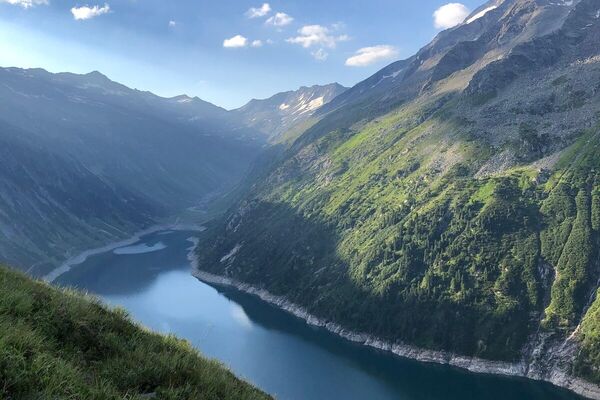
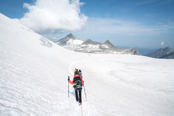
Schöne Wanderung durch Wiesen und Wälder. Der Traumhafte Ausblick auf die Kitzbühler Alpen machen diese Tour zu einem Erlebnis!
- Dificultad
-
medio
- Valoración
-
- Ruta
-
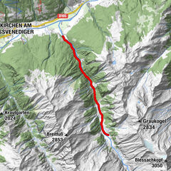
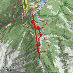
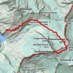
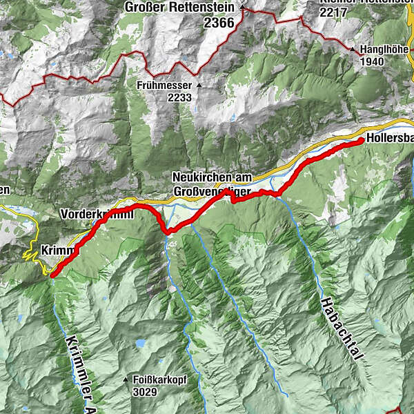
Wenns1,7 kmSteinach3,4 kmGrundlhof5,9 kmHabach6,0 kmSchönbach6,8 kmGasthof Schütthof11,7 kmChristopherus Kapelle14,2 kmTrattenbach15,0 kmWald im Pinzgau (869 m)15,5 kmLahn17,0 kmVorderkrimml18,1 kmKrimml (1.067 m)20,9 km
- La mejor temporada
-
enefebmarabrmayjunjulagosepoctnovdic
- Punto álgido
- 1.057 m
- Punto final
-
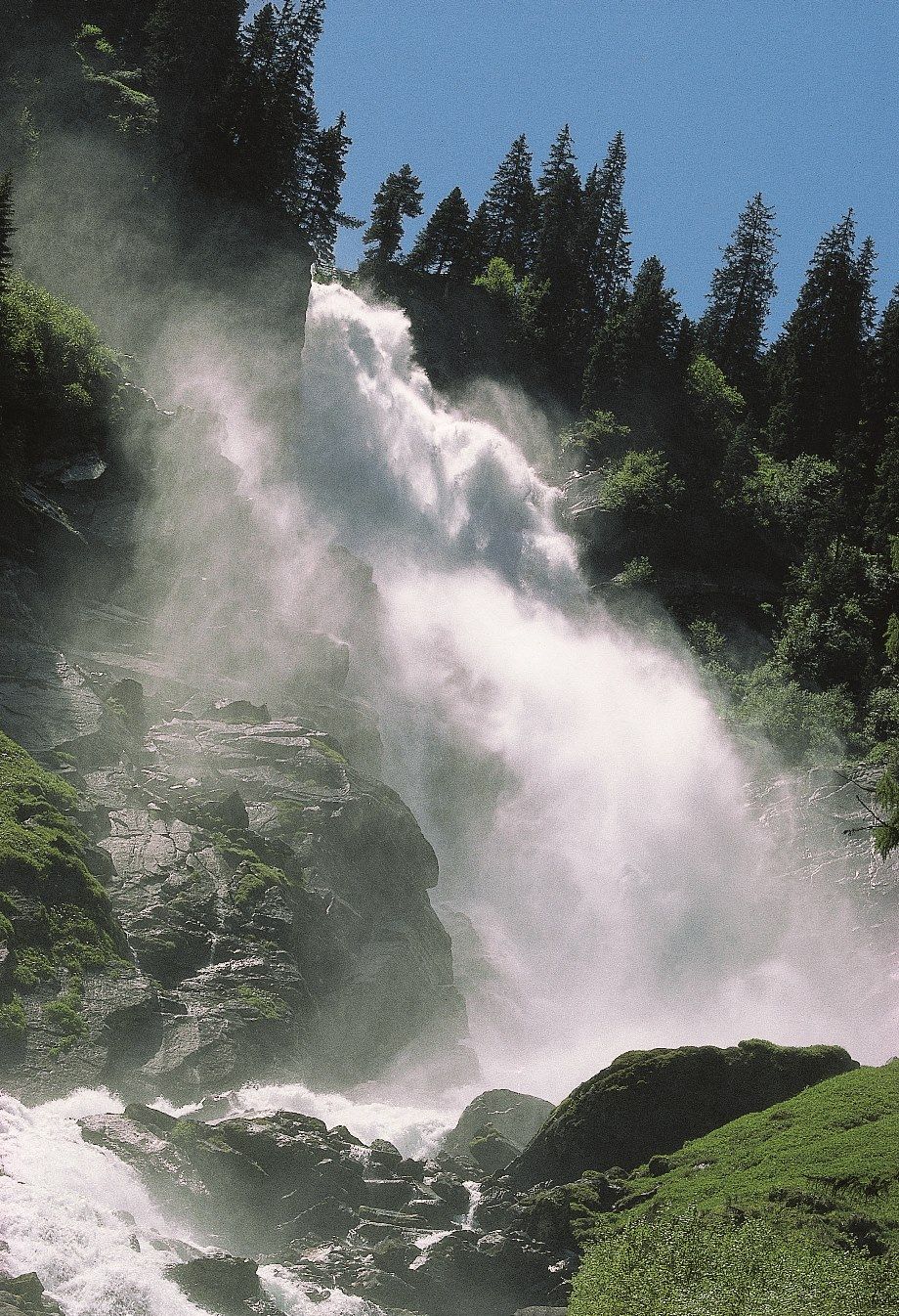
Krimmler Wasserfälle
- Perfil alto
-


- Autor
-
La gira Bramberg: Tälerweg Mühlbach - Krimml es utilizado por outdooractive.com proporcionado.
GPS Downloads


Información general
Punto de avituallamiento
Vistas panorámicas
Más circuitos por las regiones