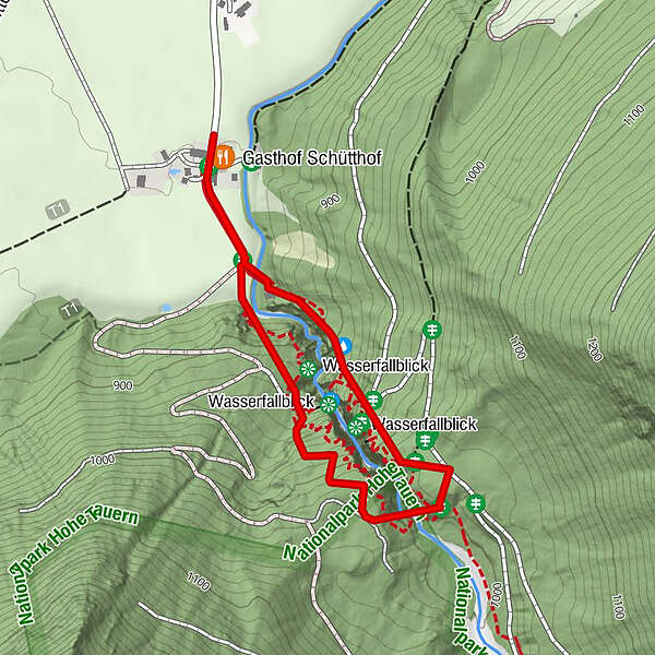
Neukirchen: Untersulzbach Wasserfall Rundweg

Senderismo


Datos del tour
2,13km
849
- 1.020m
177hm
176hm
01:00h
- Breve descripción
-
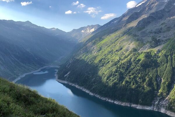
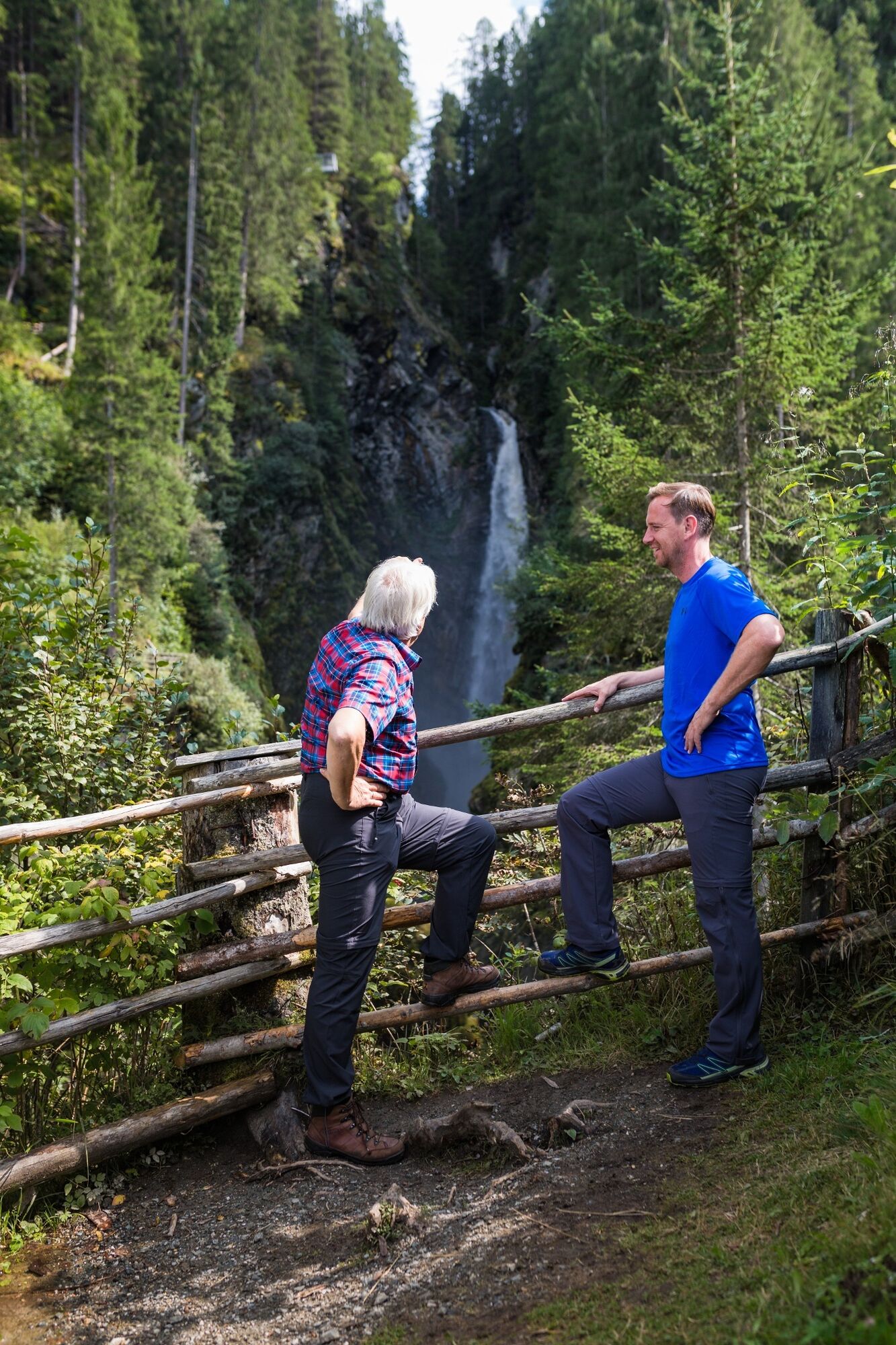
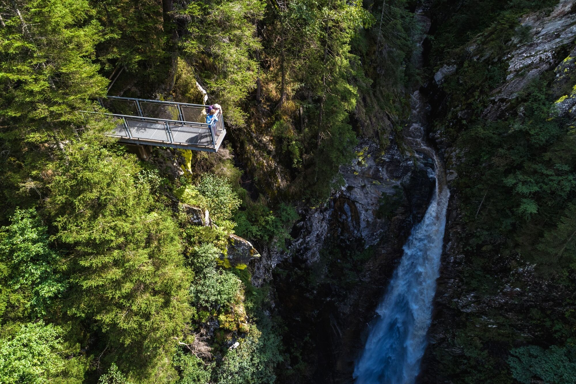
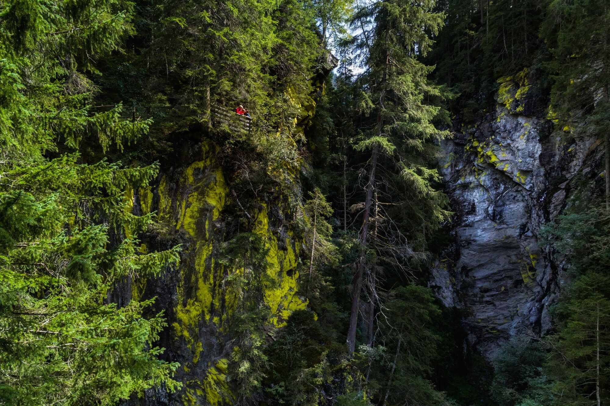
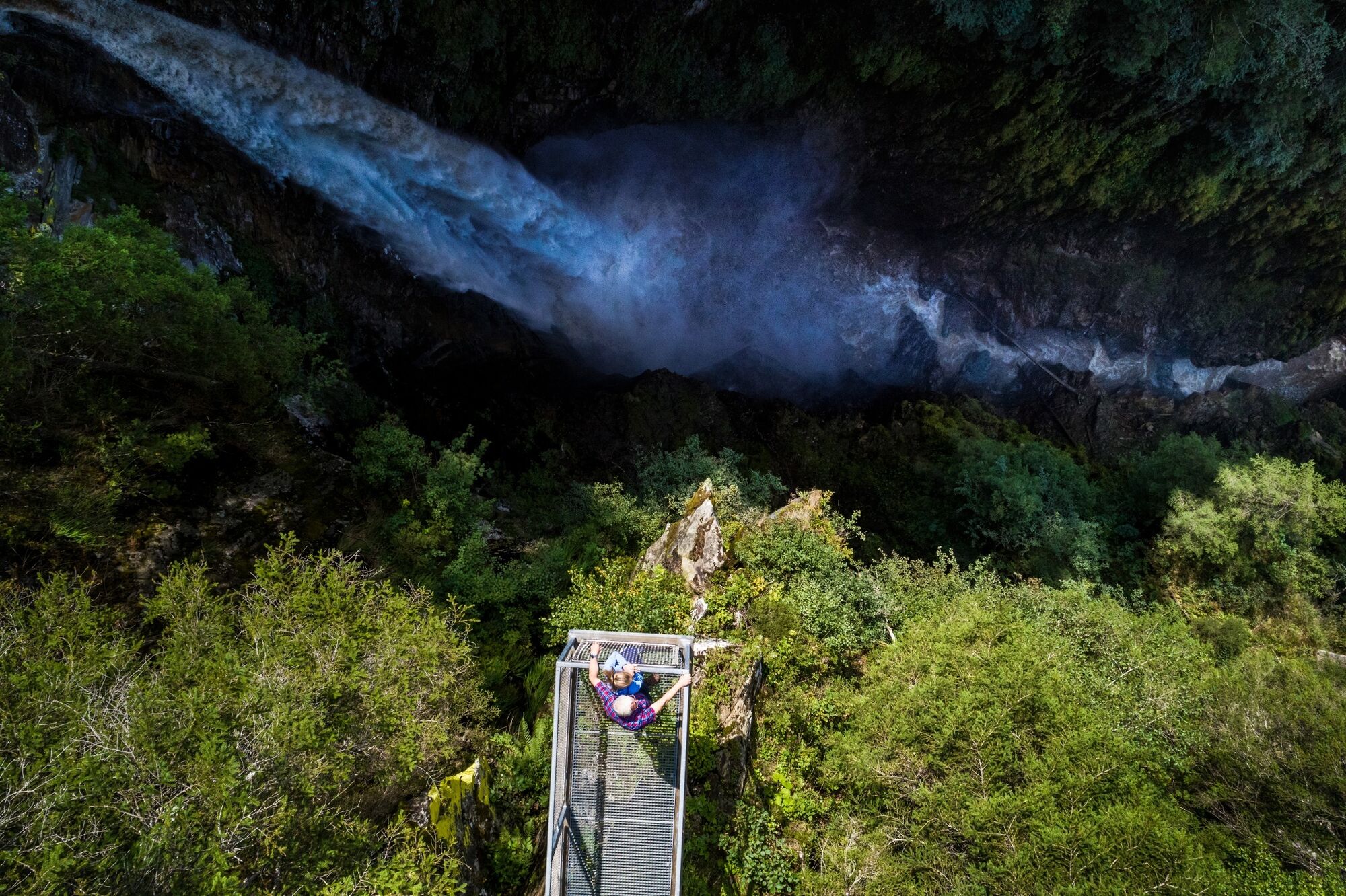
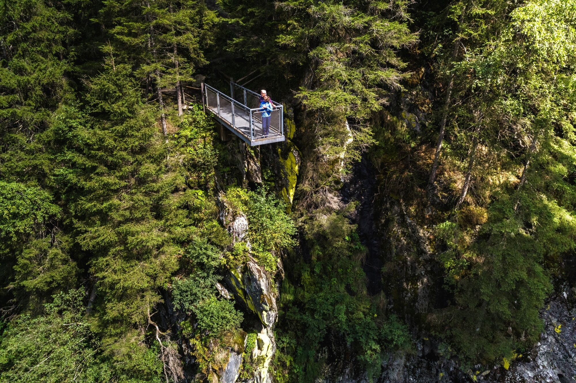
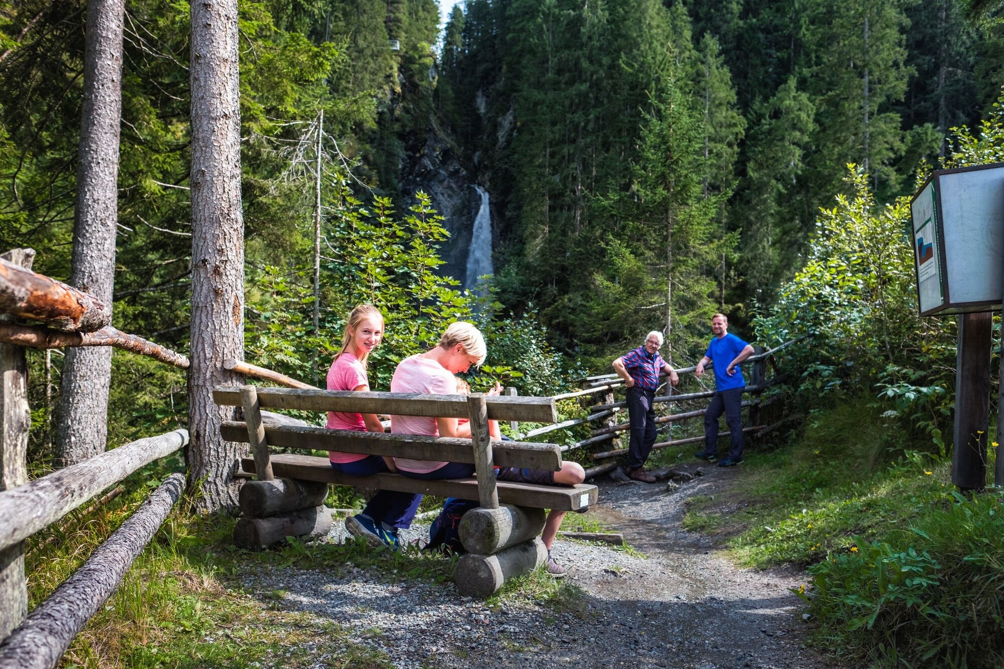
Im Nationalpark Hohe Tauern, am Eingang ins Untersulzbachtal gelegen, bietet das Naturdenkmal Untersulzbach-Wasserfall ein wunderbar anzusehendes Naturspektakel.
- Dificultad
-
medio
- Valoración
-
- Ruta
-
Gasthof Schütthof0,0 kmAlbert-Schell-Kanzel0,8 kmHöhleneingang1,7 km
- La mejor temporada
-
enefebmarabrmayjunjulagosepoctnovdic
- Punto álgido
- 1.020 m
- Punto final
-
Gasthof Schütthof
- Perfil alto
-

- Autor
-
La gira Neukirchen: Untersulzbach Wasserfall Rundweg es utilizado por outdooractive.com proporcionado.
GPS Downloads


Información general
Punto de avituallamiento
Secreto
Vistas panorámicas
Más circuitos por las regiones