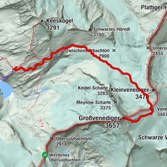
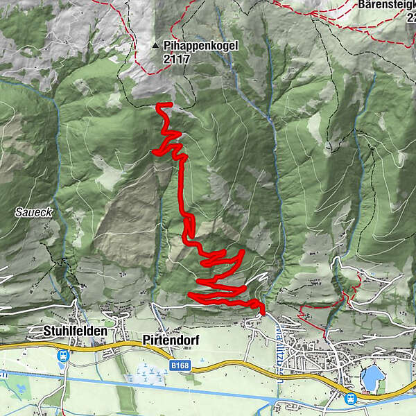
Uttendorf/Weißsee: Manlitzkarweg zur Manlitzkarhütte

Senderismo

© Lerchbaumer Sabine - Tourismusverband Uttendorf/Weißsee

© Lerchbaumer Sabine - Tourismusverband Uttendorf/Weißsee

© Ferienregion Nationalpark Hohe Tauern - Tourismusverband Uttendorf/Weißsee

© Ferienregion Nationalpark Hohe Tauern - Tourismusverband Uttendorf/Weißsee

© Lerchbaumer Sabine - Tourismusverband Uttendorf/Weißsee

- Breve descripción
-
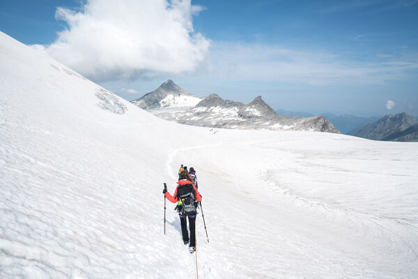
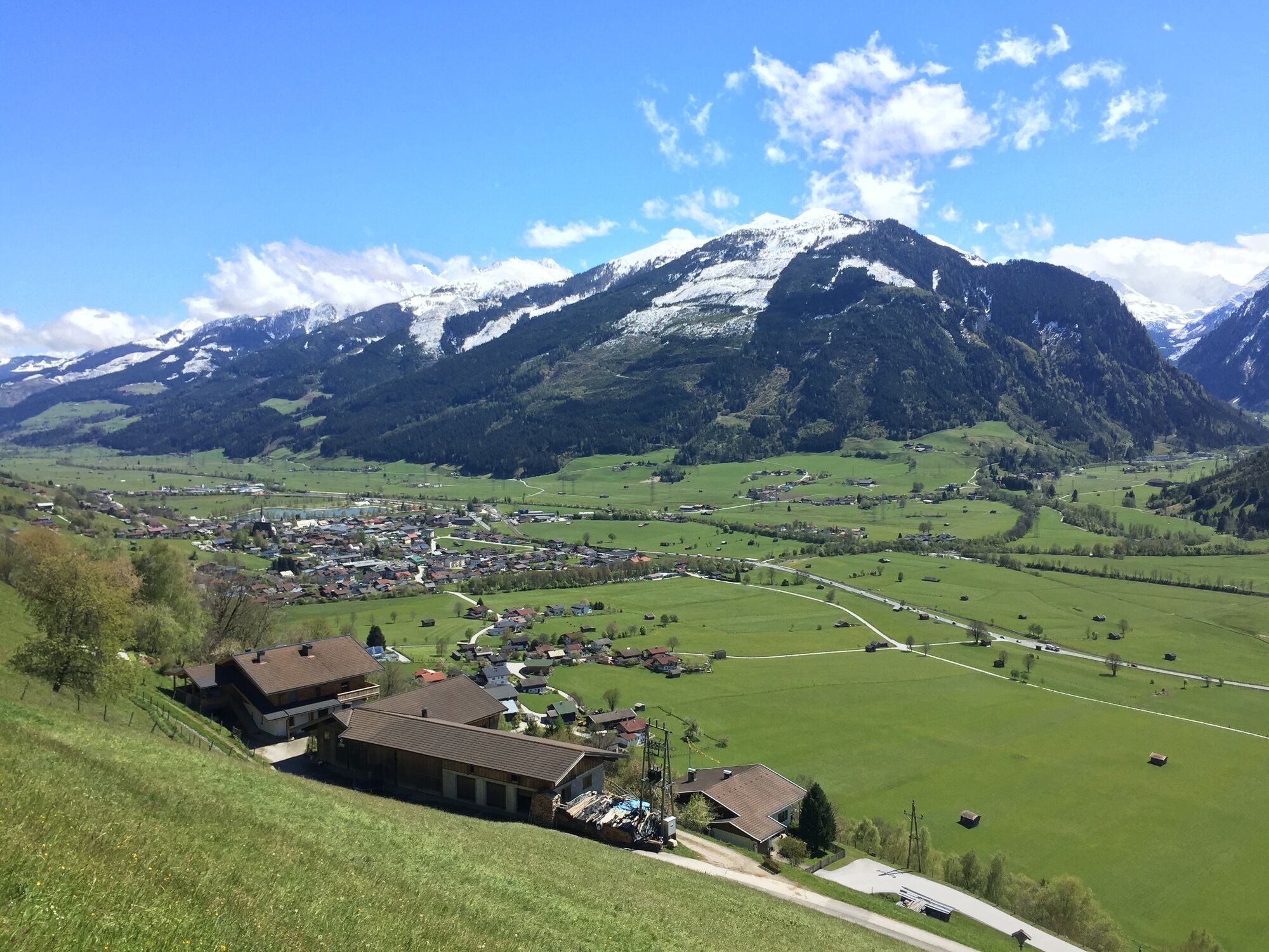
Der aussichtsreiche Wanderweg bietet einen wunderbaren Blick ins Stubachtal, zu den Hohen Tauern und weit hinauf in den Oberpinzgau.
- Dificultad
-
medio
- Valoración
-
- La mejor temporada
-
enefebmarabrmayjunjulagosepoctnovdic
- Punto álgido
- 1.830 m
- Punto final
-
Manlitzkarhütte
- Perfil alto
-


-

-
AutorLa gira Uttendorf/Weißsee: Manlitzkarweg zur Manlitzkarhütte es utilizado por outdooractive.com proporcionado.
GPS Downloads


Información general
Punto de avituallamiento
Cultural/Histórico
Fauna
Vistas panorámicas
Más circuitos por las regiones