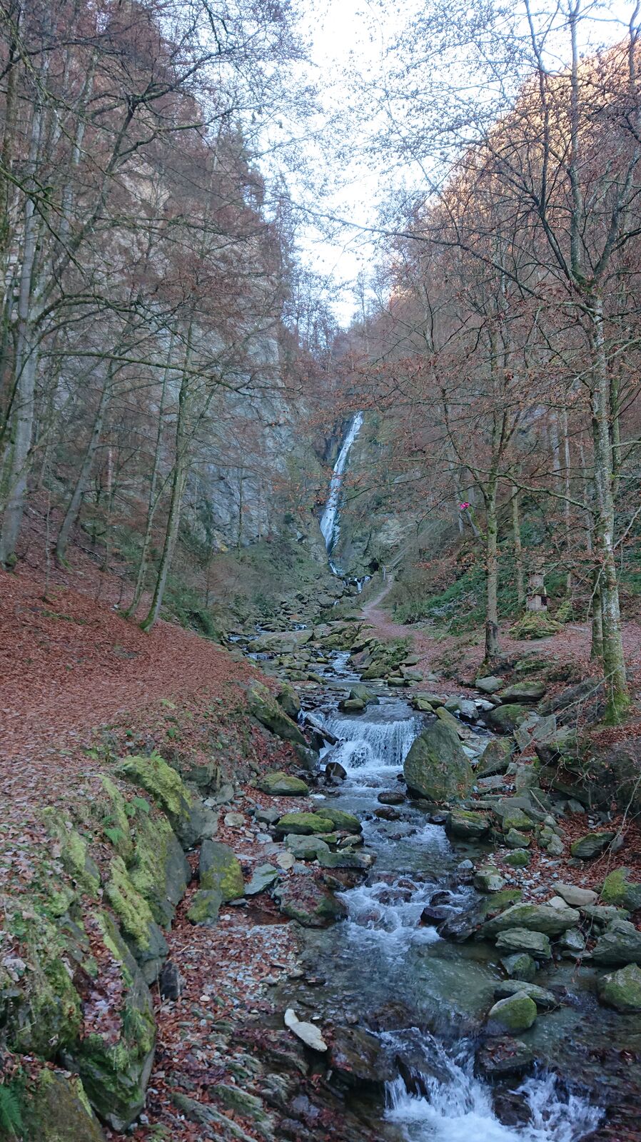
Wasserfallweg (UNESCO-Geopark Erz der Alpen)

Sendero temático


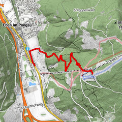
Datos del tour
4km
584
- 794m
229hm
232hm
02:00h
- Breve descripción
-
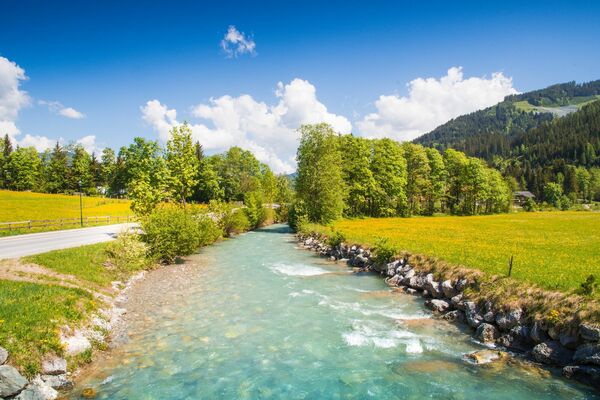
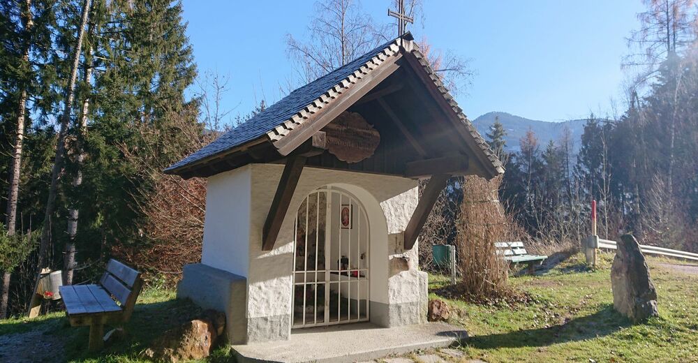
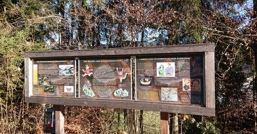
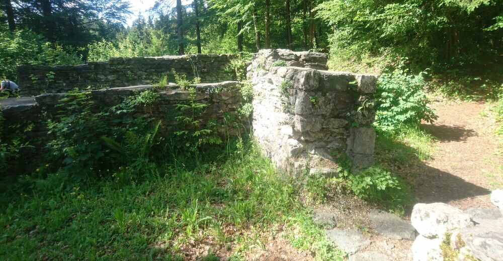
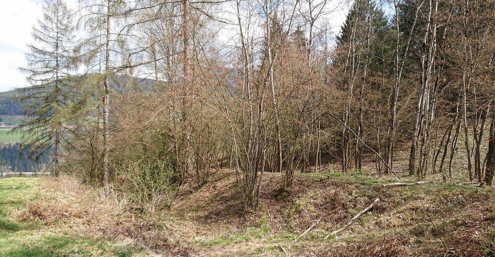
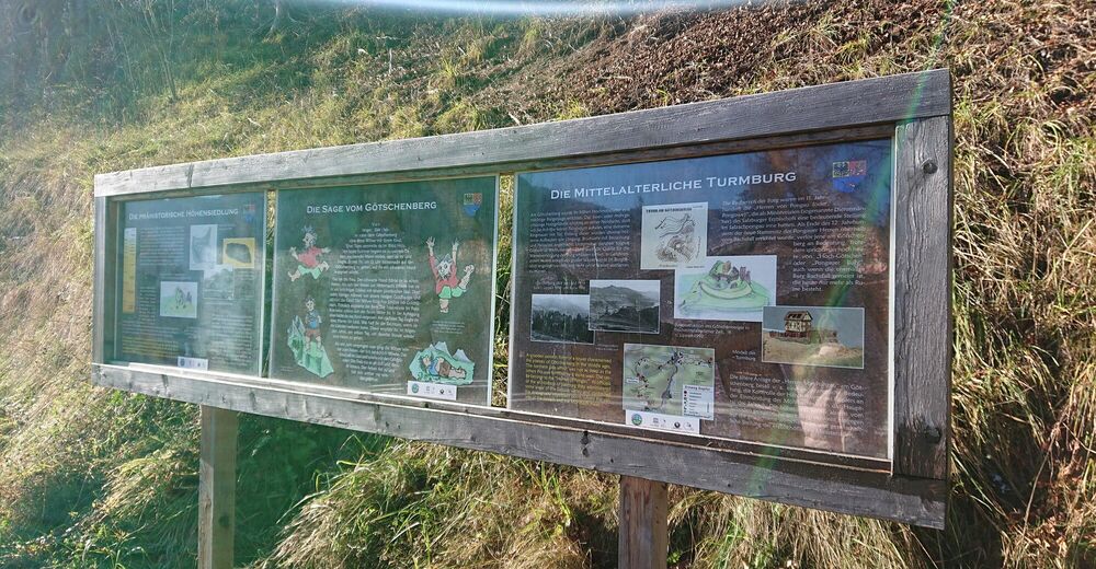
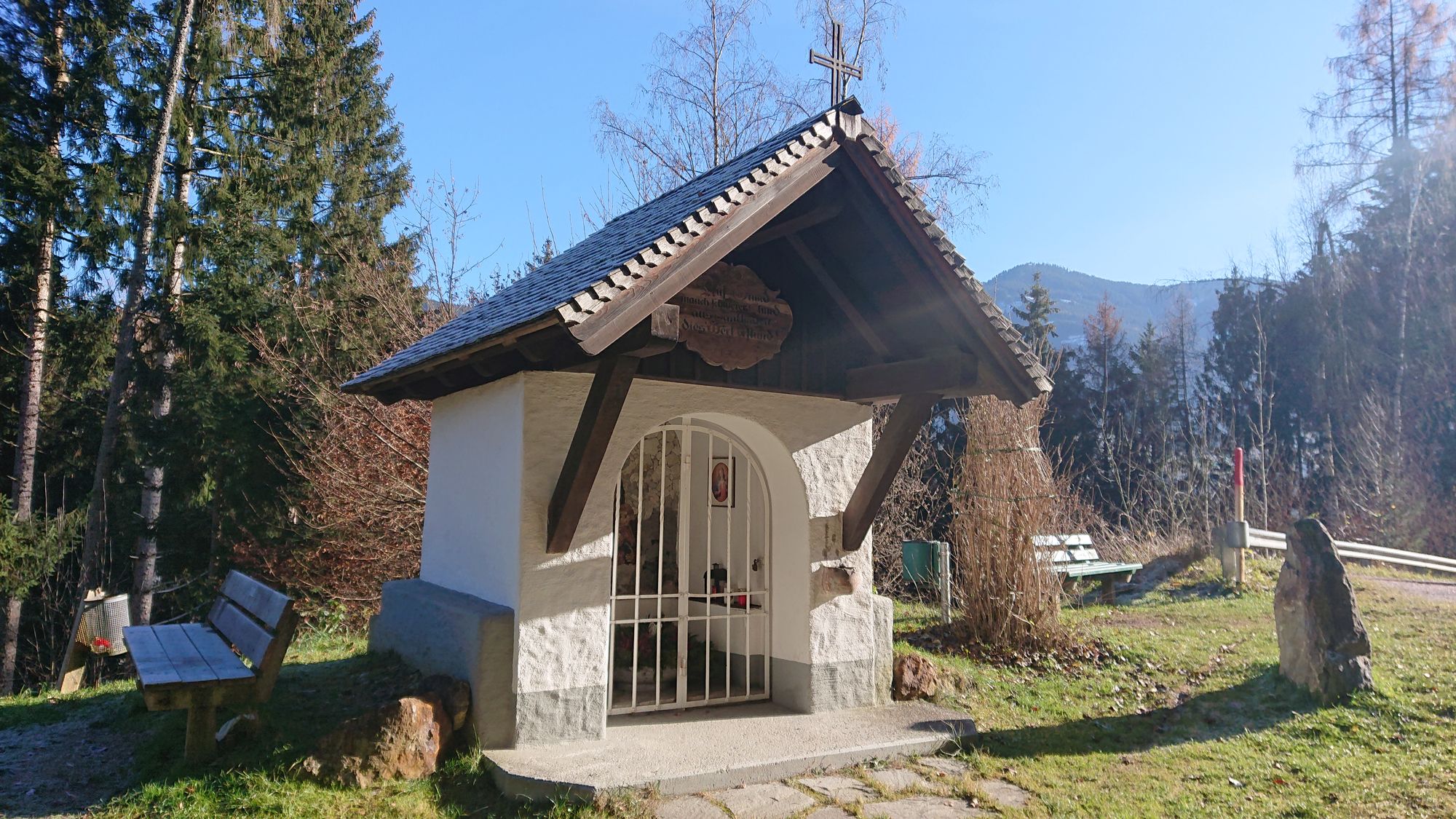
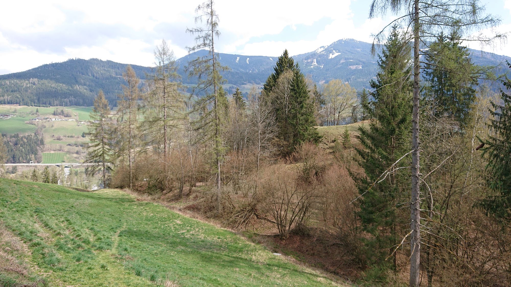
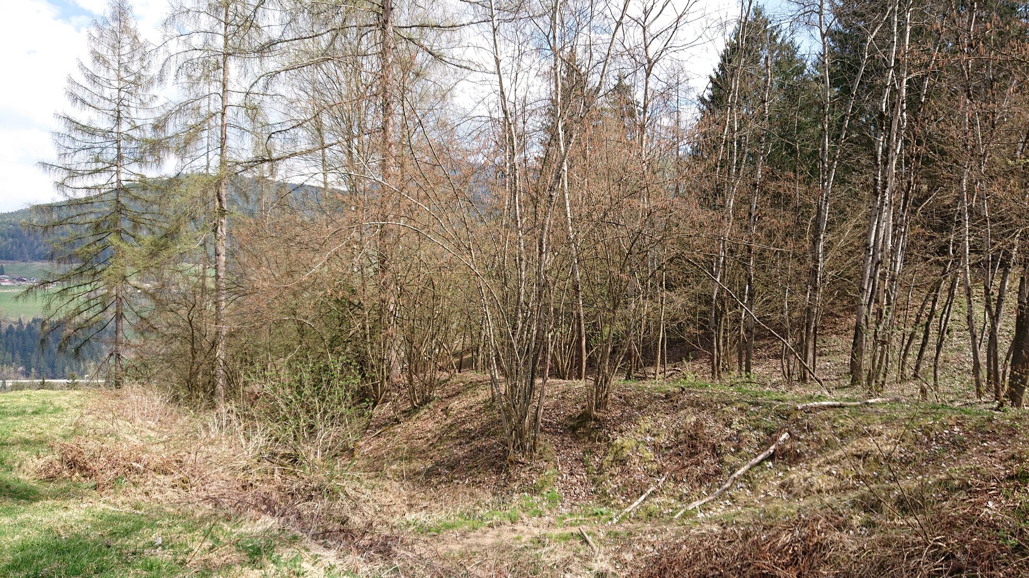
Der Wasserfallweg ist eine kleine Ergänzung zum Angebot des UNESCO-Geoparks und bietet wie auch der Erzweg viele spannende Einblicke in eine vergangene Zeit
- Dificultad
-
fácil
- Valoración
-
- Punto de salida
-
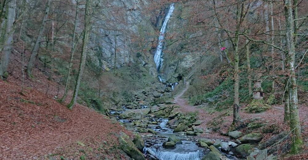
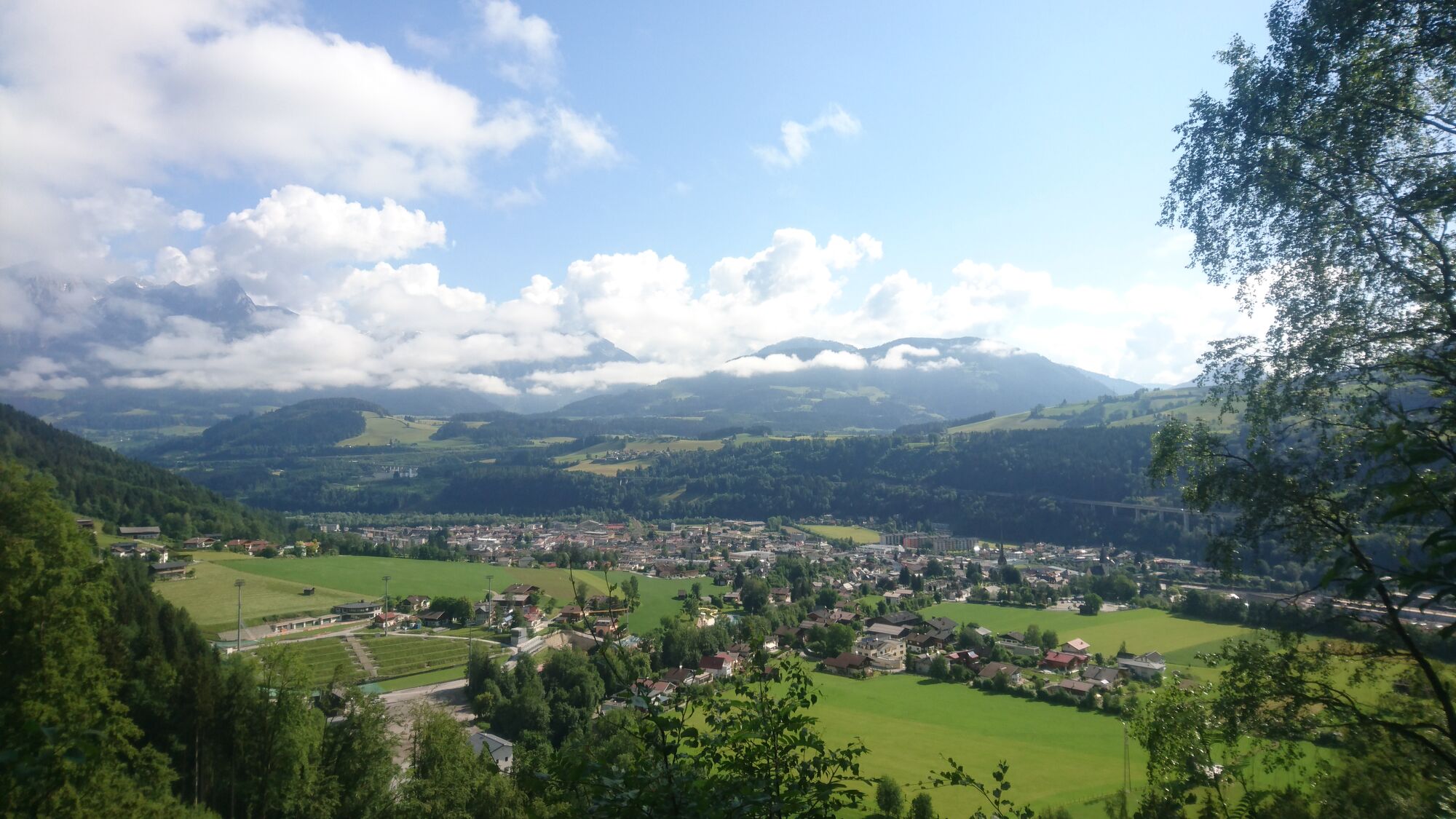
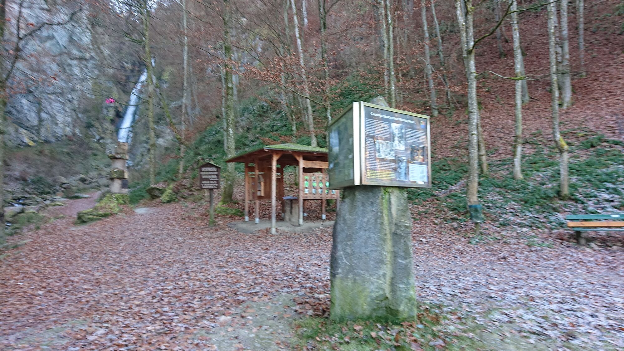
Wasserfall Bischofshofen
- Ruta
-
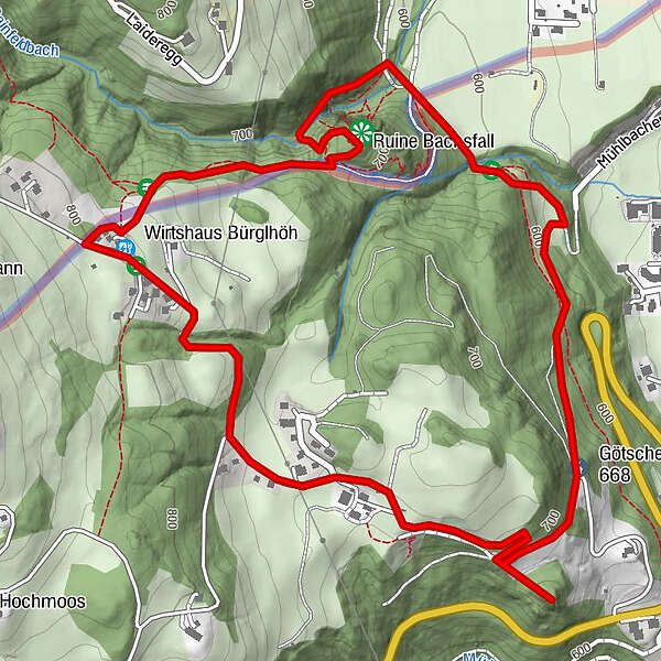
Bischofshofen0,4 kmGasthof Bürglhöh2,9 kmGainfeldwasserfall3,6 kmGainfeld Waterfall3,9 km
- La mejor temporada
-
enefebmarabrmayjunjulagosepoctnovdic
- Punto álgido
- Station Wasserfall (794 m)
- Punto final
-
Wasserfall Bischofshofen


GPS Downloads


Superficie de carretera
Asfalto
Gravilla
(33%)
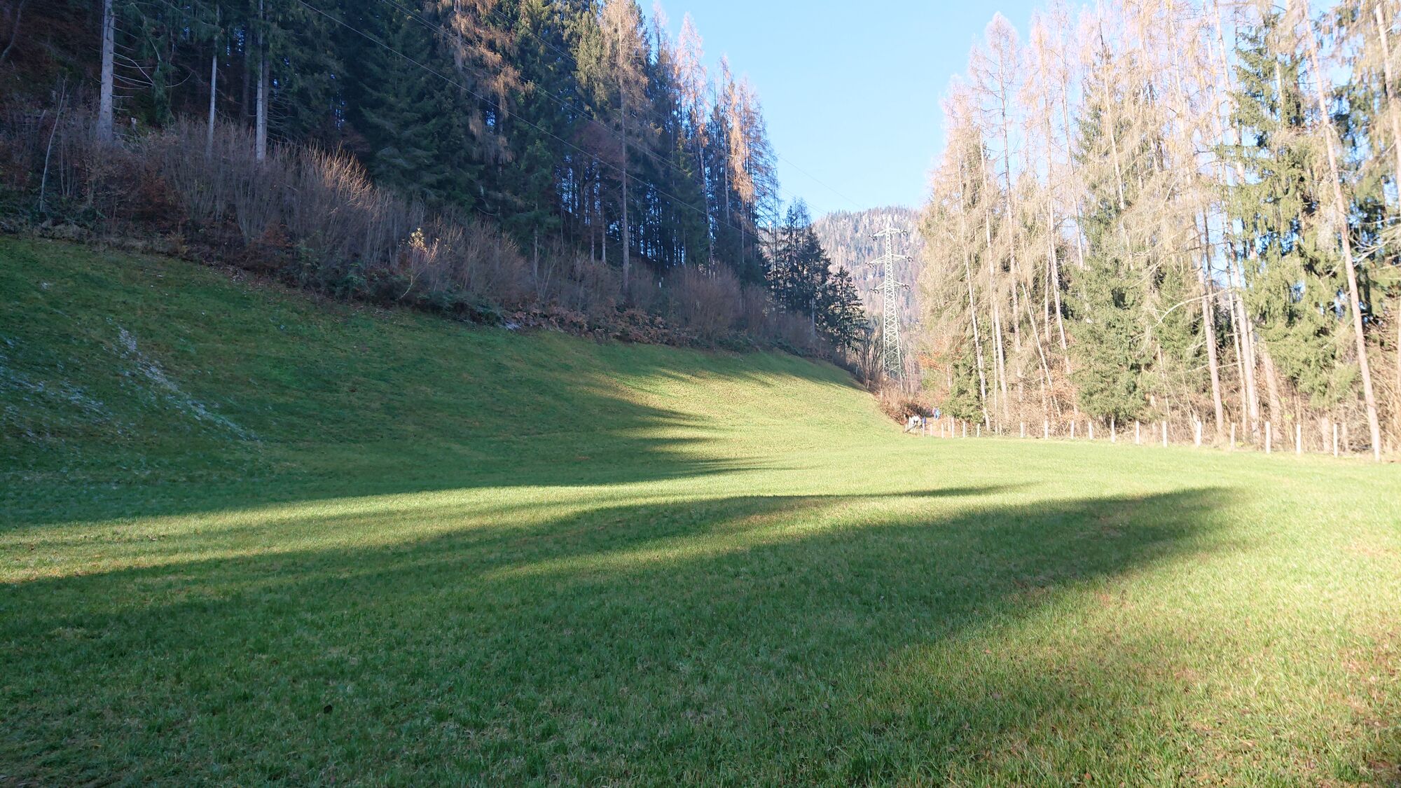
Pradera
(33%)
Bosque
(33%)
Roca
Expuesto
Más circuitos por las regiones