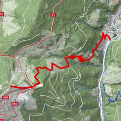
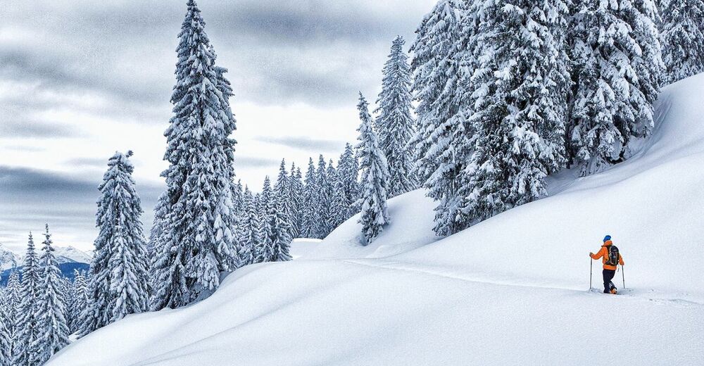
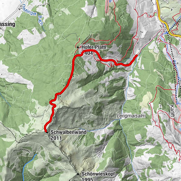
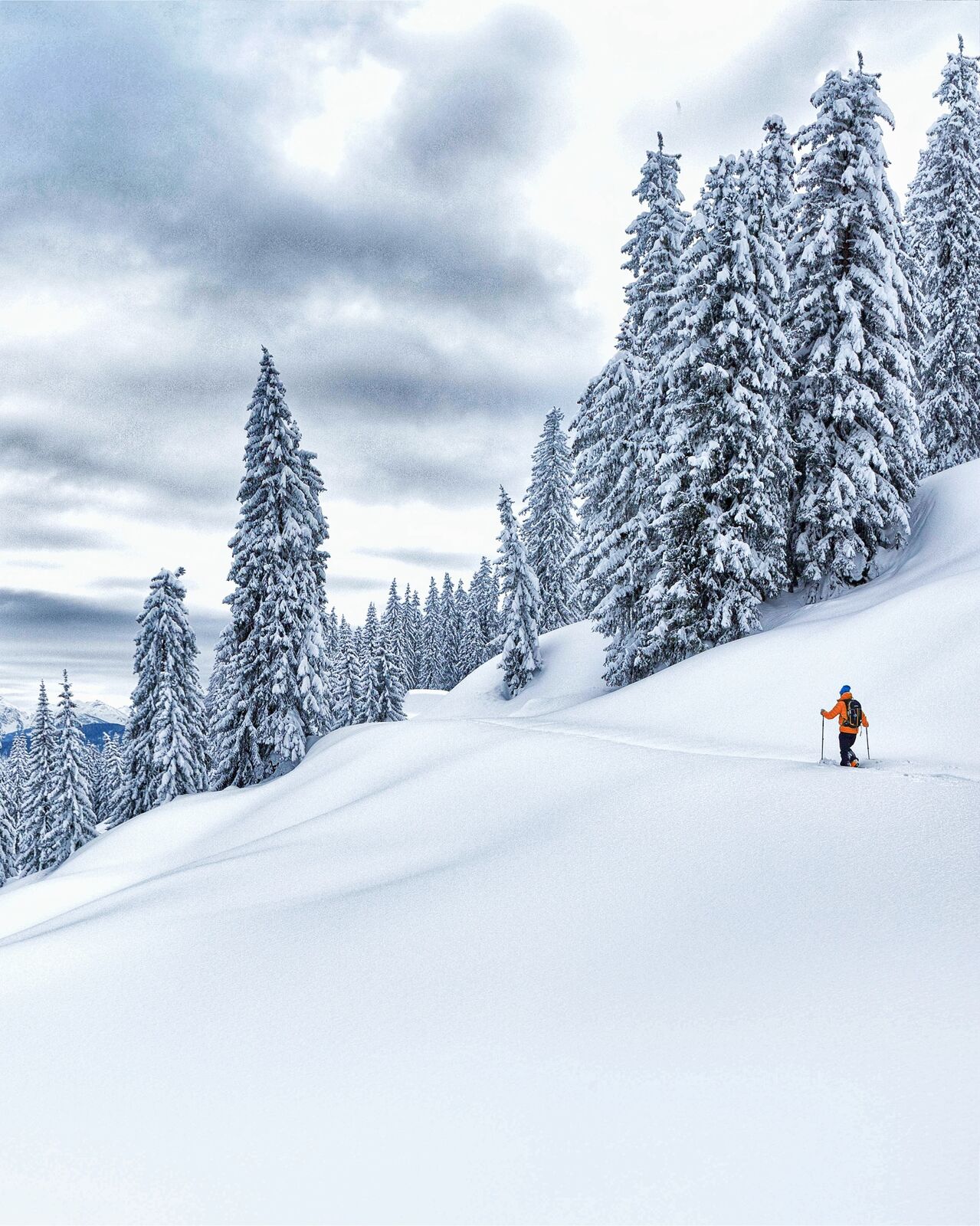
Skitouring Schwalbenwand (northern rise)

Esquí de travesía


- Breve descripción
-
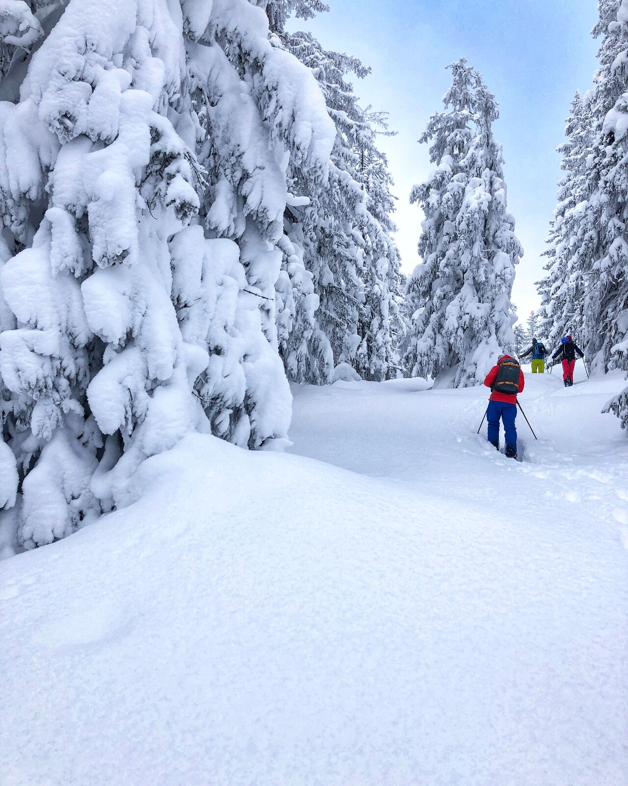
Wide forest aisles and alpine pastures in predominantly ideal steepness are characteristic for this route - and that almost continuously over 1200 metres in altitude!
- Dificultad
-
medio
- Valoración
-
- Ruta
-
Schwalbenwand (2.011 m)4,9 km
- La mejor temporada
-
agosepoctnovdicenefebmarabrmayjunjul
- Punto álgido
- 1.917 m
- Punto final
-
Schwalbenwand
- Perfil alto
-


- Autor
-
La gira Skitouring Schwalbenwand (northern rise) es utilizado por outdooractive.com proporcionado.
GPS Downloads


Más circuitos por las regiones
-
Saalfelden - Leogang
128
-
Maria Alm
28