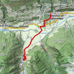
Schneeschuhwanderung zur Pölsneralm

Raquetas de nieve


- Breve descripción
-
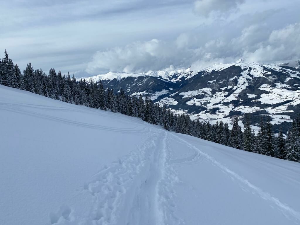
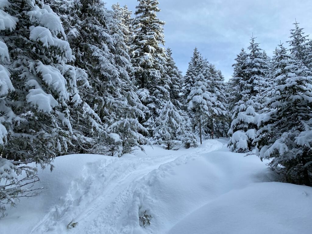
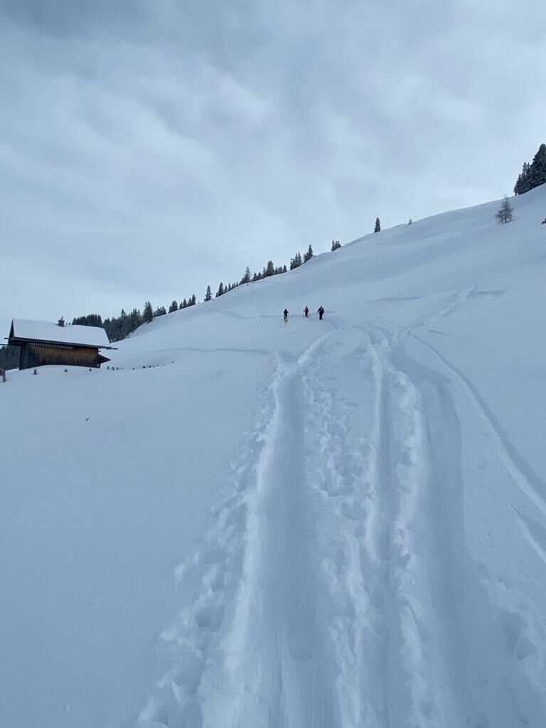
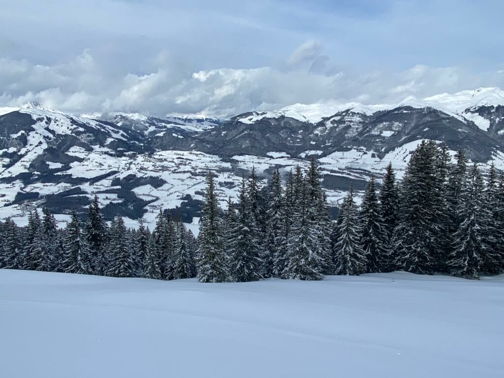
Schneeschuhwanderung durch einen verschneiten Hochwald, hinauf zur Pölsneralm, auf 1704 m Seehöhe.
- Dificultad
-
medio
- Valoración
-
- Ruta
-
Gasthof BerghofGasthof Berghof7,1 km
- La mejor temporada
-
agosepoctnovdicenefebmarabrmayjunjul
- Punto álgido
- 1.702 m
- Punto final
-
Ausgangspunkt
- Perfil alto
-


- Autor
-
La gira Schneeschuhwanderung zur Pölsneralm es utilizado por outdooractive.com proporcionado.
GPS Downloads


Información general
Vistas panorámicas
Más circuitos por las regiones