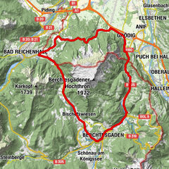
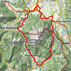
Trattberg Route ab Bad Vigaun (Bad Vigaun-Kuchl-Trattberg-St.Koloman-Bad Vigaun

© TVB St.Koloman


- Breve descripción
-
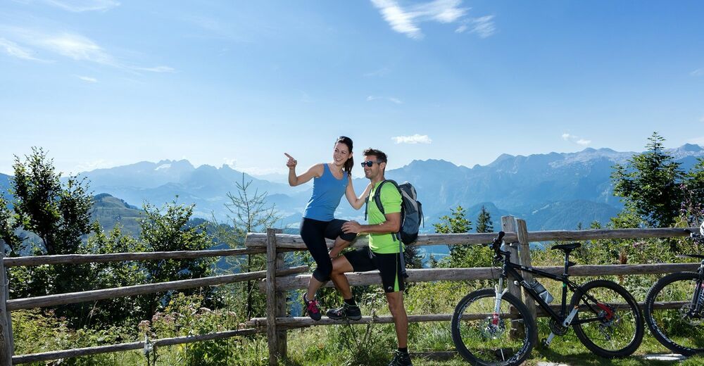
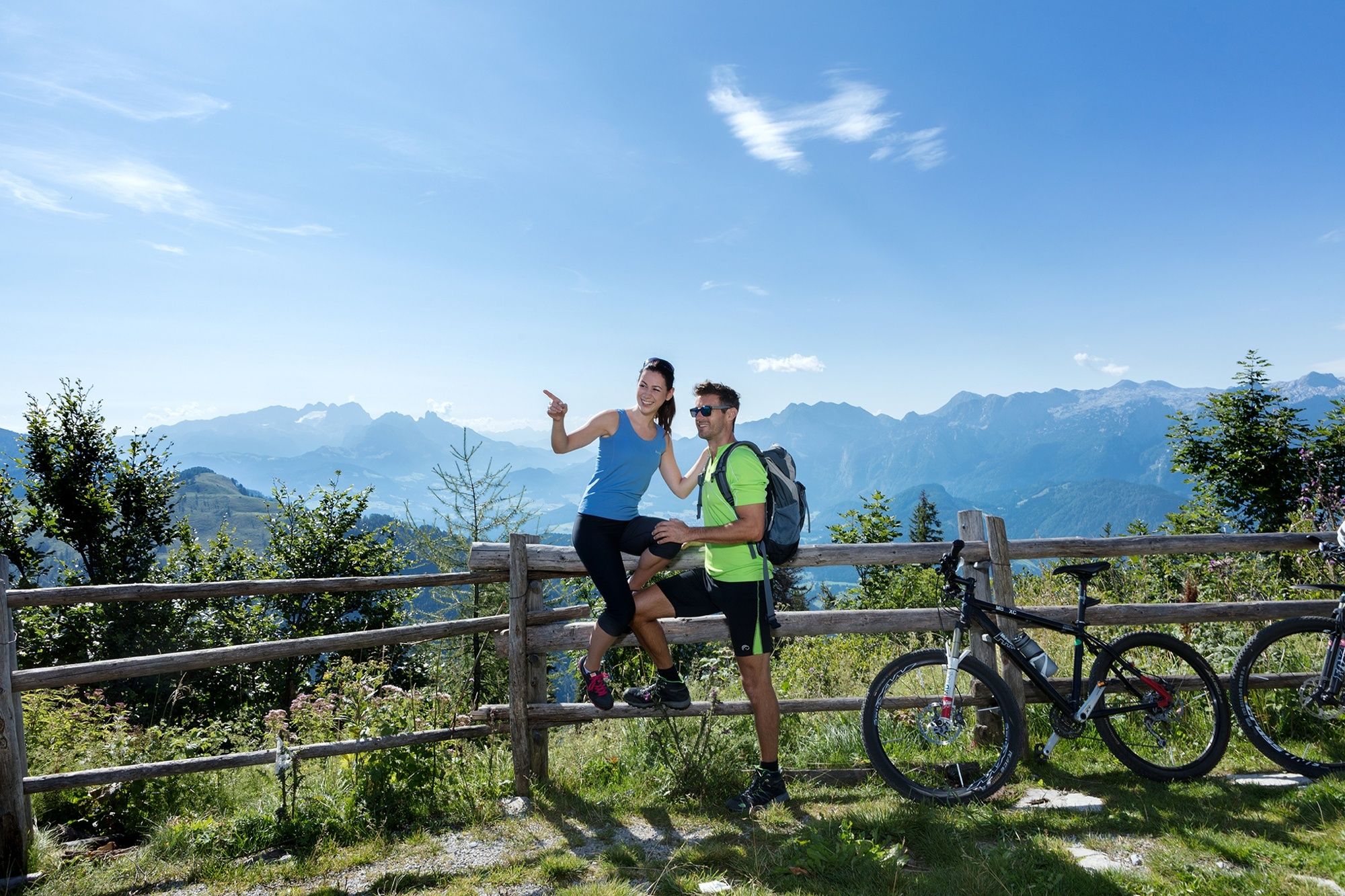
Die aussichtsreiche Radtour führt über eine Mautstraße ins Trattberggebiet. Ob mit dem E-Bike oder für geübte Radfahrer ist dies eine perfekte Radtour in die Berge.
- Dificultad
-
difícil
- Valoración
-
- Ruta
-
NeuwirtZum Rudi0,0 kmVigaun0,1 kmBad Vigaun0,1 kmBrettstein (500 m)1,3 kmUnterlangenberg4,2 kmGeorgenberg6,0 kmVordertrattbergalm21,6 kmEnzianhütte21,6 kmVordertrattbergalm26,9 kmEnzianhütte27,0 kmGroßhornn31,2 kmBrettstein (500 m)41,8 kmVigaun43,1 kmBad Vigaun43,2 kmZum Rudi43,3 kmNeuwirt43,3 km
- La mejor temporada
-
enefebmarabrmayjunjulagosepoctnovdic
- Punto álgido
- 1.546 m
- Punto final
-
Dorfplatz Bad Vigaun
- Perfil alto
-

- Autor
-
La gira Trattberg Route ab Bad Vigaun (Bad Vigaun-Kuchl-Trattberg-St.Koloman-Bad Vigaun es utilizado por outdooractive.com proporcionado.
GPS Downloads


Información general
Punto de avituallamiento
Secreto
Vistas panorámicas
Más circuitos por las regiones


; Drachenwand")