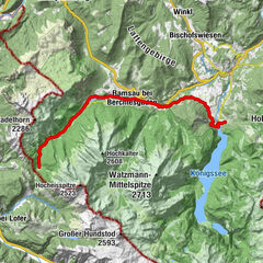
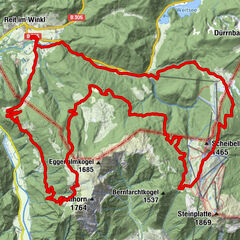
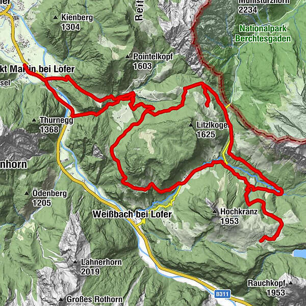
St. Martin - Litzlalm - Kallbrunnalm - St. Martin

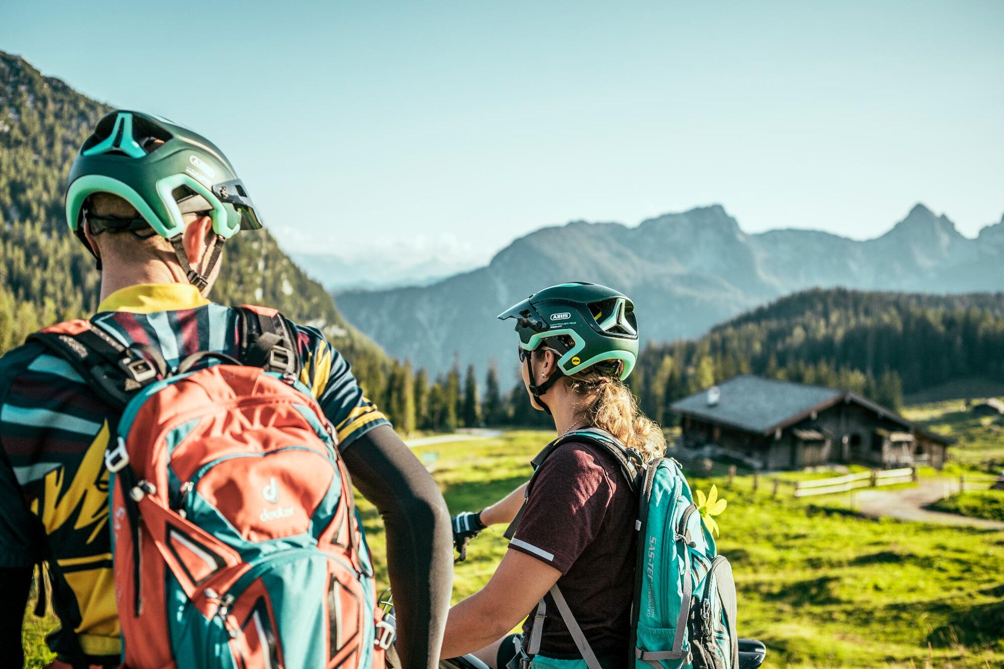
Mountainbike
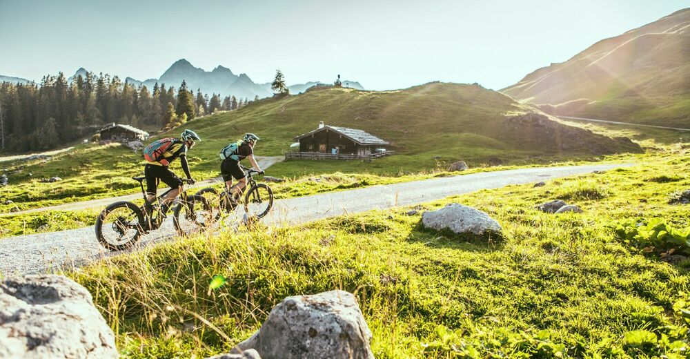
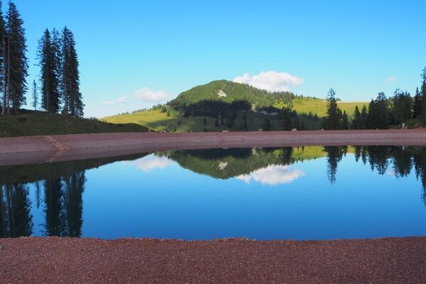
© WOM Medien - Stefan Schopf
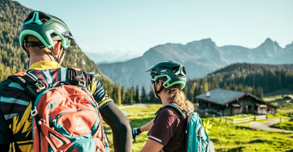
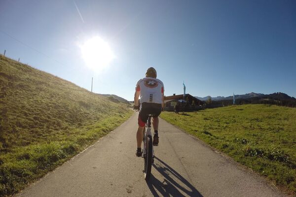
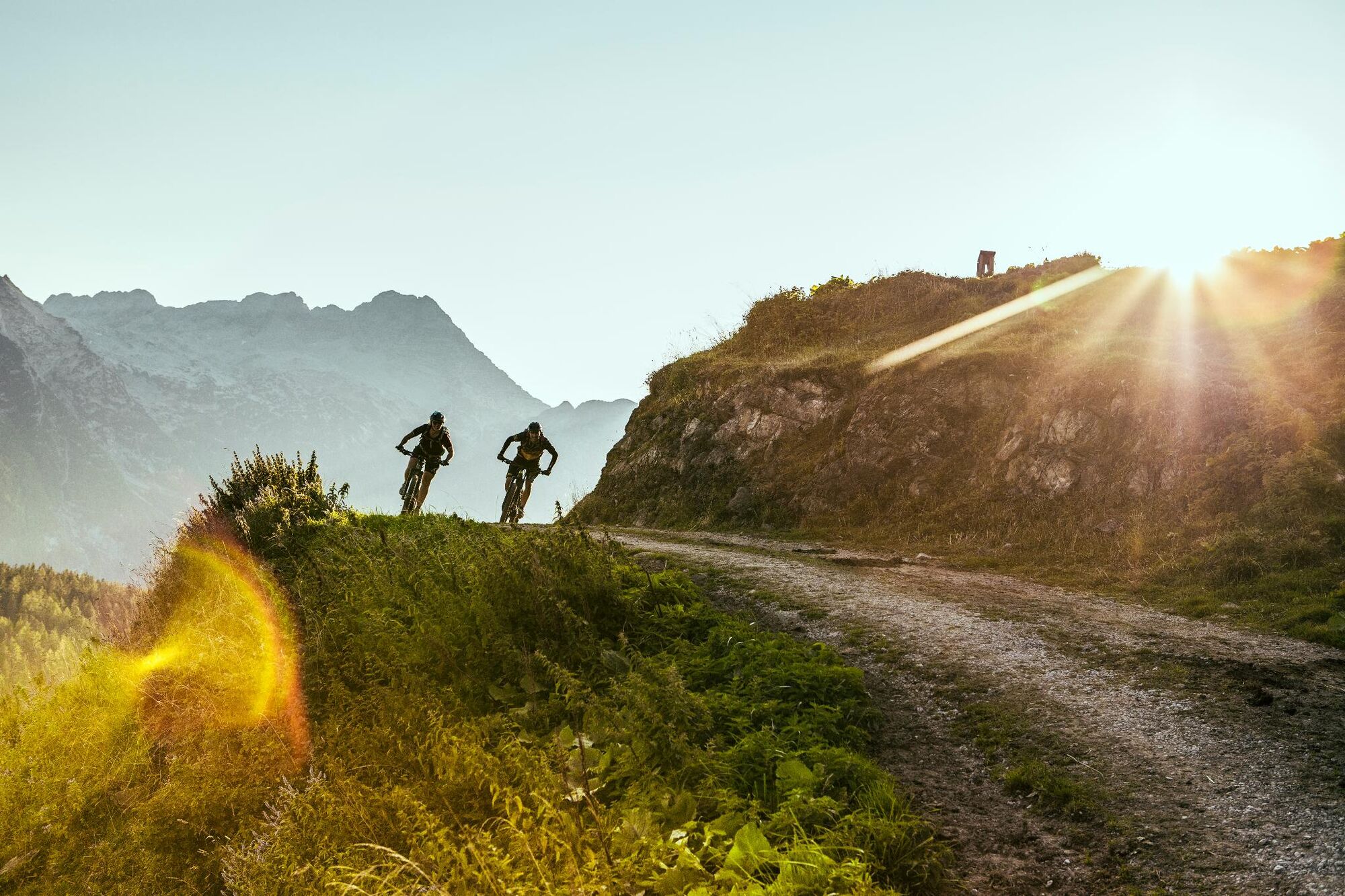
© WOM Medien - Stefan Schopf
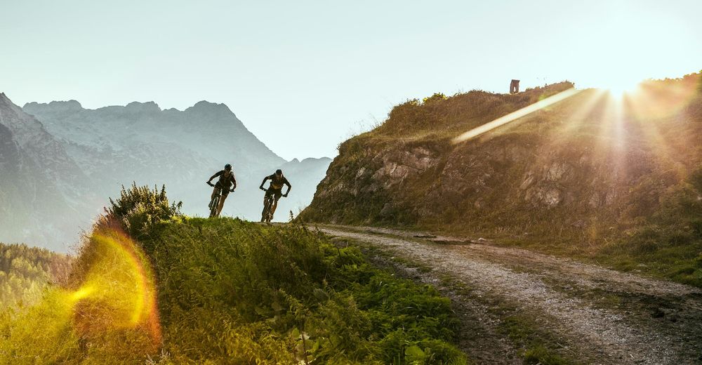
© WOM Medien - Stefan Schopf
- Breve descripción
-
Challenging MTB tour starting from St. Martin via the Litzlalm and the Kallbrunnalm. The tour leads back via the "Goldener Zweig" and the Wildenbachschlucht gorge to St. Martin.
- Dificultad
-
medio
- Valoración
-
- Ruta
-
Restaurant Cafe Martinerhof0,1 kmGasthaus zum Steinerwirt0,1 kmSankt Martin bei Lofer0,3 kmEiblkreuzung8,7 kmHufnagei (1.267 m)9,3 kmLitzlalm Querleit-Kaser10,2 kmHirschbichl12,3 kmHirschbichl-Pass (1.183 m)12,5 kmPoint12,6 kmReubel13,0 kmFalleck13,8 kmKallbrunnalm21,2 kmStockklaus27,5 kmGasthof Lohfeyer28,0 kmObsthurn38,2 kmGasthaus zum Steinerwirt40,3 kmSankt Martin bei Lofer40,5 kmRestaurant Cafe Martinerhof40,6 km
- La mejor temporada
-
enefebmarabrmayjunjulagosepoctnovdic
- Punto álgido
- 1.468 m
- Punto final
-
St. Martin near Lofer
- Perfil alto
-


-

-
AutorLa gira St. Martin - Litzlalm - Kallbrunnalm - St. Martin es utilizado por outdooractive.com proporcionado.
GPS Downloads


Información general
Punto de avituallamiento
Vistas panorámicas
Más circuitos por las regiones