via ferrata Selbhorn - Herzogsteig

Logotipo via ferrata Selbhorn - Herzogsteig
Datos del tour
14,81km
890 - 2.623m
Distancia
1.712hm
1.714hm
Ascenso
09:40h
 
Duración
Grado de dificultad
C/D
Breve descripción

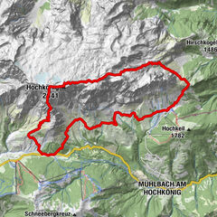
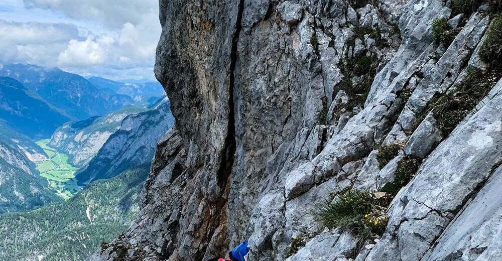
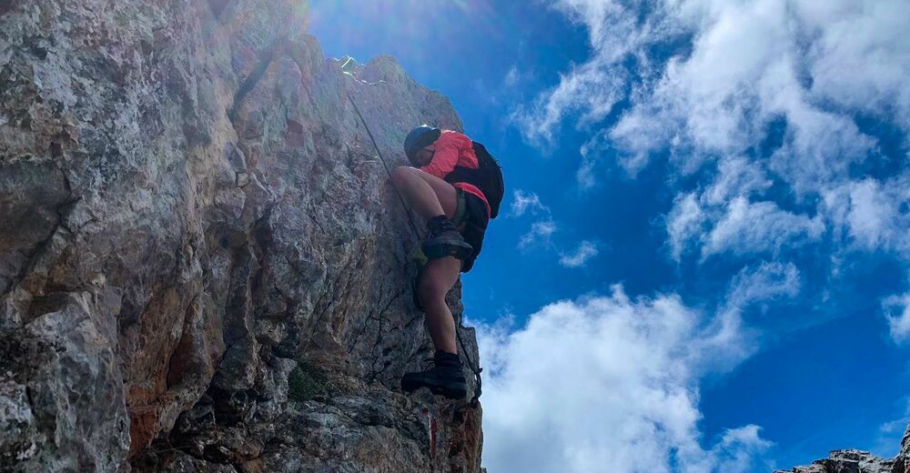
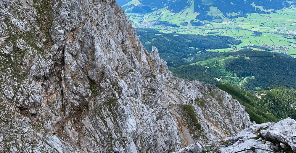
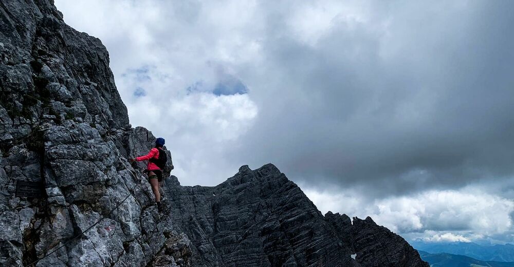
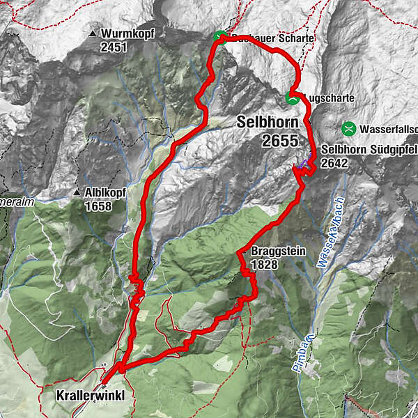
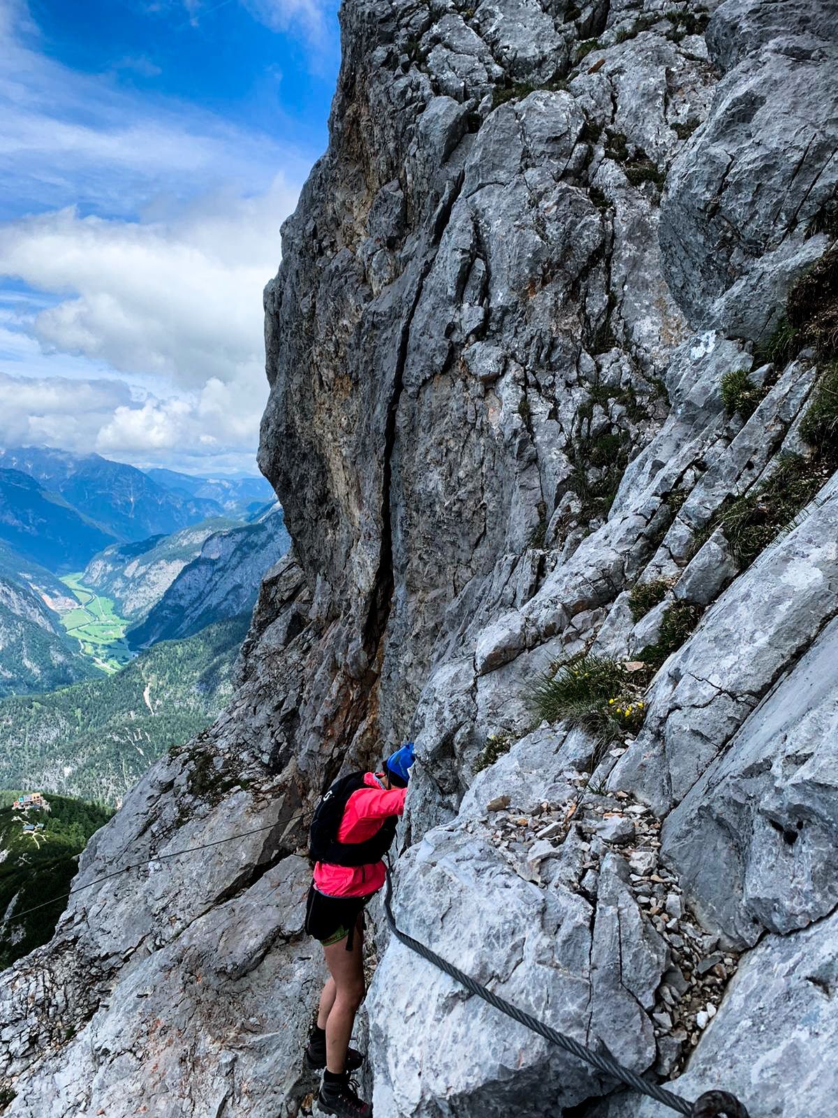
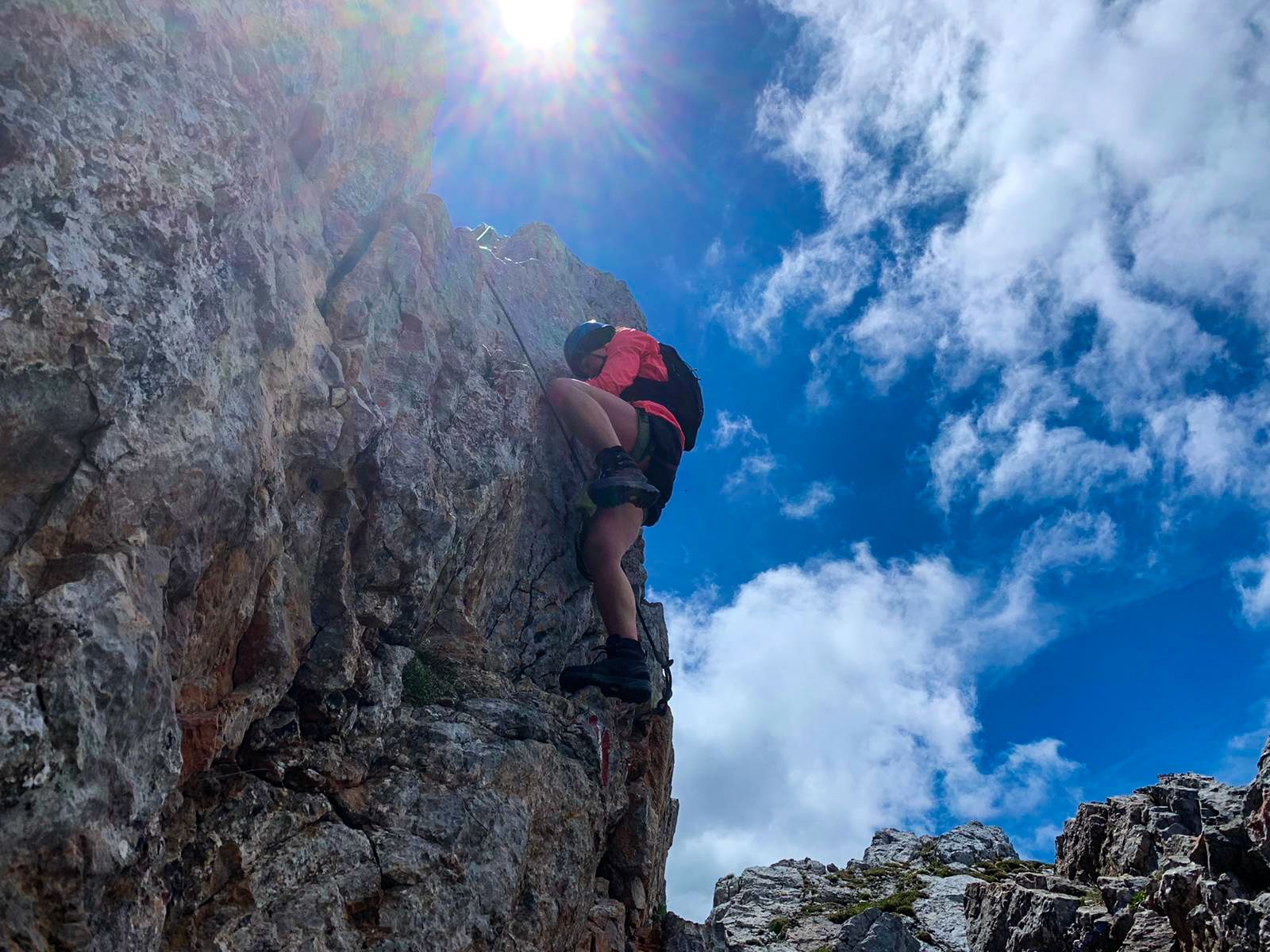
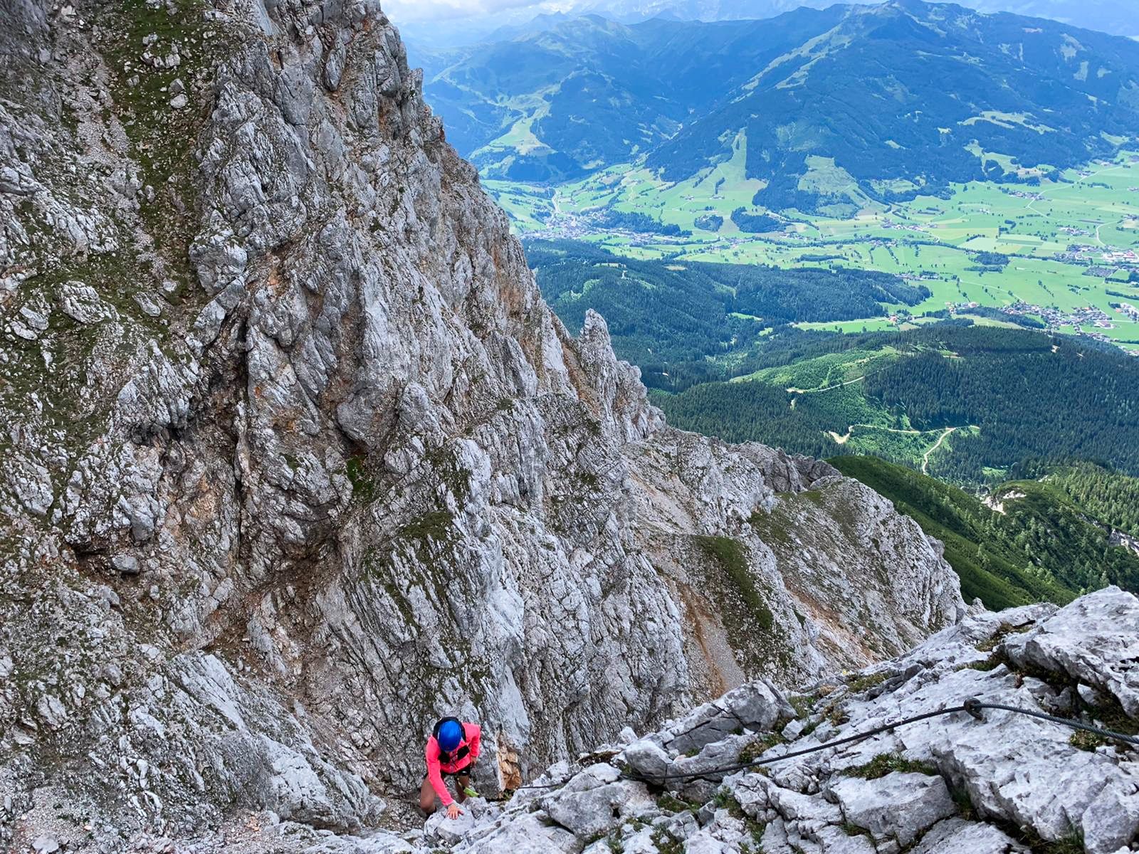
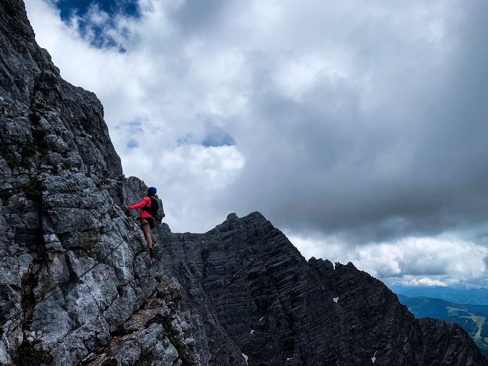
The via ferrata to the rugged Selbhorn - the highest peak of the Steinernes Meer - is a daunting tour, involving almost 2000 metres of altitude.

Dificultad
difícil
Grado de dificultad C/D
Valoración
Técnica
Nivel
Paisaje
Experiencias
Ruta
Krallerwinkl
Kaseregg (1.088 m)
13,0 km
Krallerwinkl
14,8 km

La mejor temporada
ene
feb
mar
abr
may
jun
jul
ago
sep
oct
nov
dic
Punto álgido
2.623 m
Punto final

Gasthaus Rohrmoos/ Krallerwinkl Maria Alm

Perfil alto

Autor
La gira via ferrata Selbhorn - Herzogsteig es utilizado por outdooractive.com proporcionado.

Valoración global

5

0

%

4

0

%

3

0

%

2

0

%

1

0

%

Error
Se ha producido un error. Por favor, inténtelo de nuevo.
Gracias por su comentario

Se ha eliminado la calificación

GPS Downloads
  • GPX GPS Exchange Format (XML)
  • KML Google Earth, Google Maps
Códigos de descarga QR para teléfonos móviles

Información general

Vistas panorámicas
Más circuitos por las regiones

Excursiones opcionales por los alrededores

Königsjodler Klettersteig (C/D) Hochkönig

difícil Vía ferrata
25,78km | 1941hm | 12:00h

Laxersteig

difícil Vía ferrata
4,93km | 702hm | 03:00h

Berchtesgadener Alpen - Hoher Göll 2.522m - Hike and Bike

difícil Vía ferrata
30km | 3100hm | 14:00h

Schützensteig auf den kleinen Jenner

fácil Vía ferrata
1,72km | 179hm | 02:00h