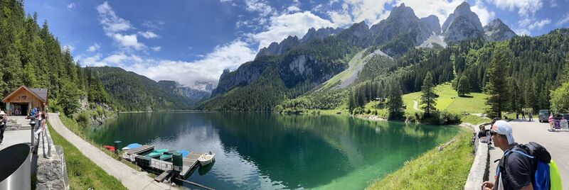
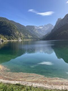
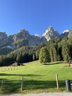
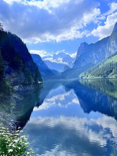
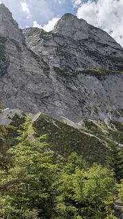
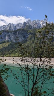
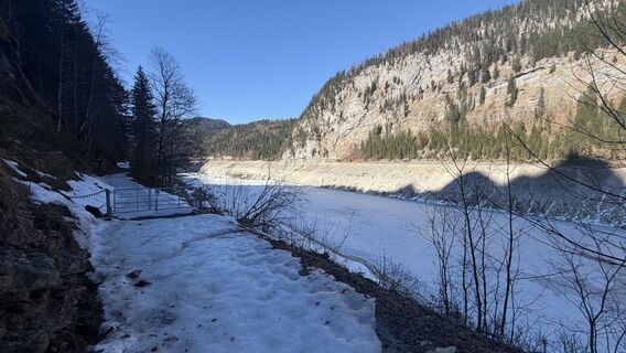
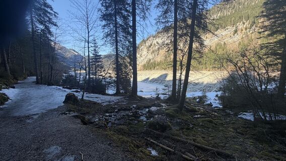
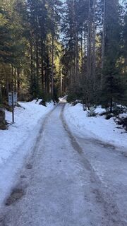
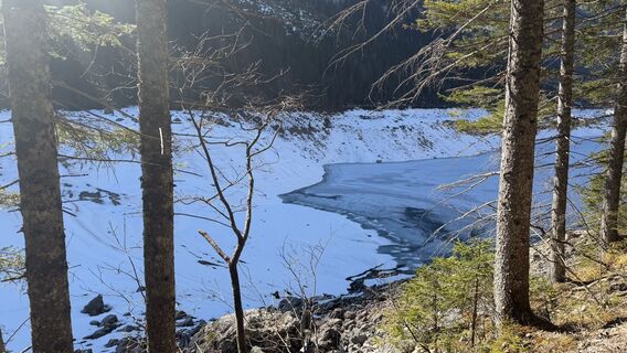
Around the lake through Zwieselalm to plateau Abtenau
pesado
Navegue por
Navegue por
Consigue este tour en tu móvil
Around the lake through Zwieselalm to plateau Abtenau
pesado
Excursión de alta montaña
31,33
km
Escanee el código QR e inicie la navegación en la aplicación bergfex

Senderismo y rastreo


Around the lake through Zwieselalm to plateau Abtenau
pesado
Distancia
31,33
km
Duración
08:00
h
Ascenso
981
m
Nivel del mar
675 -
1.565
m
Descarga de pistas
Around the lake through Zwieselalm to plateau Abtenau
pesado
Excursión de alta montaña
31,33
km
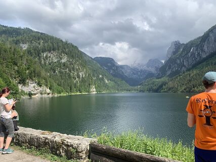
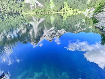
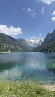
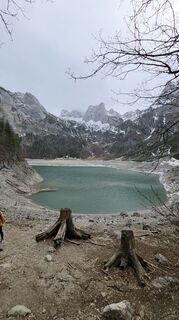
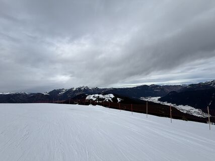
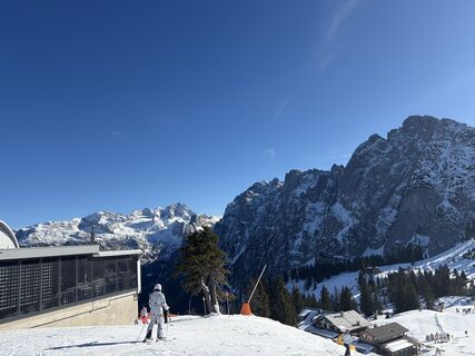
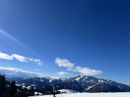
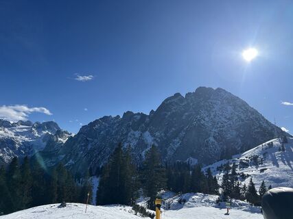
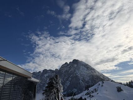
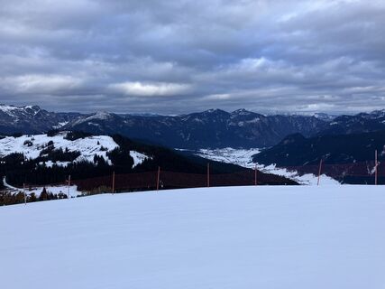
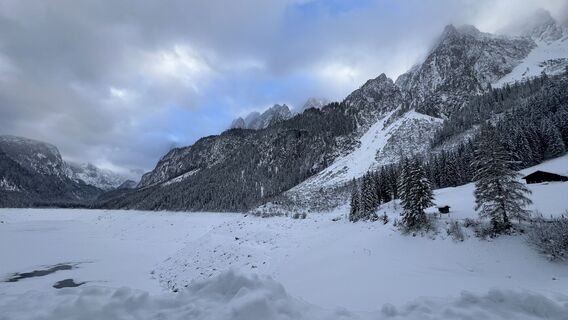
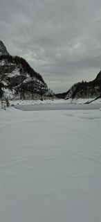
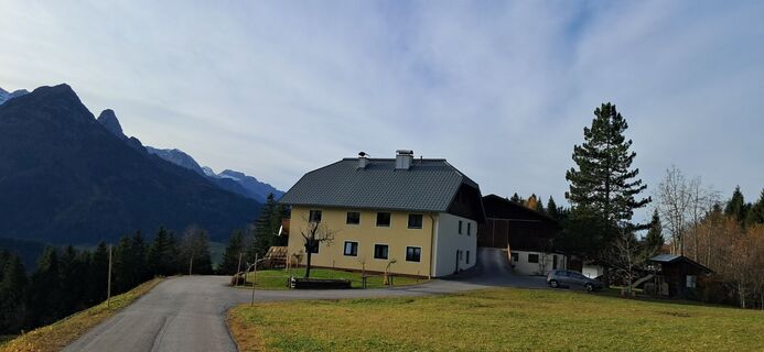
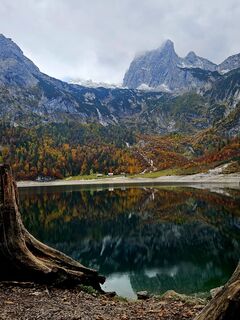
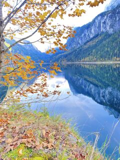
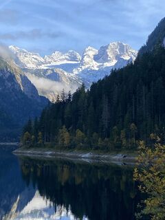
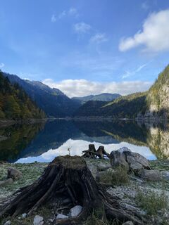
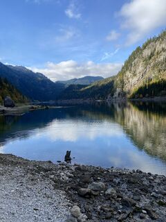
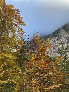
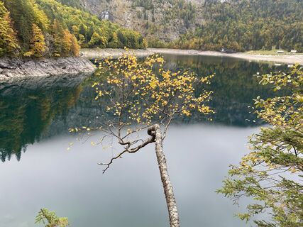
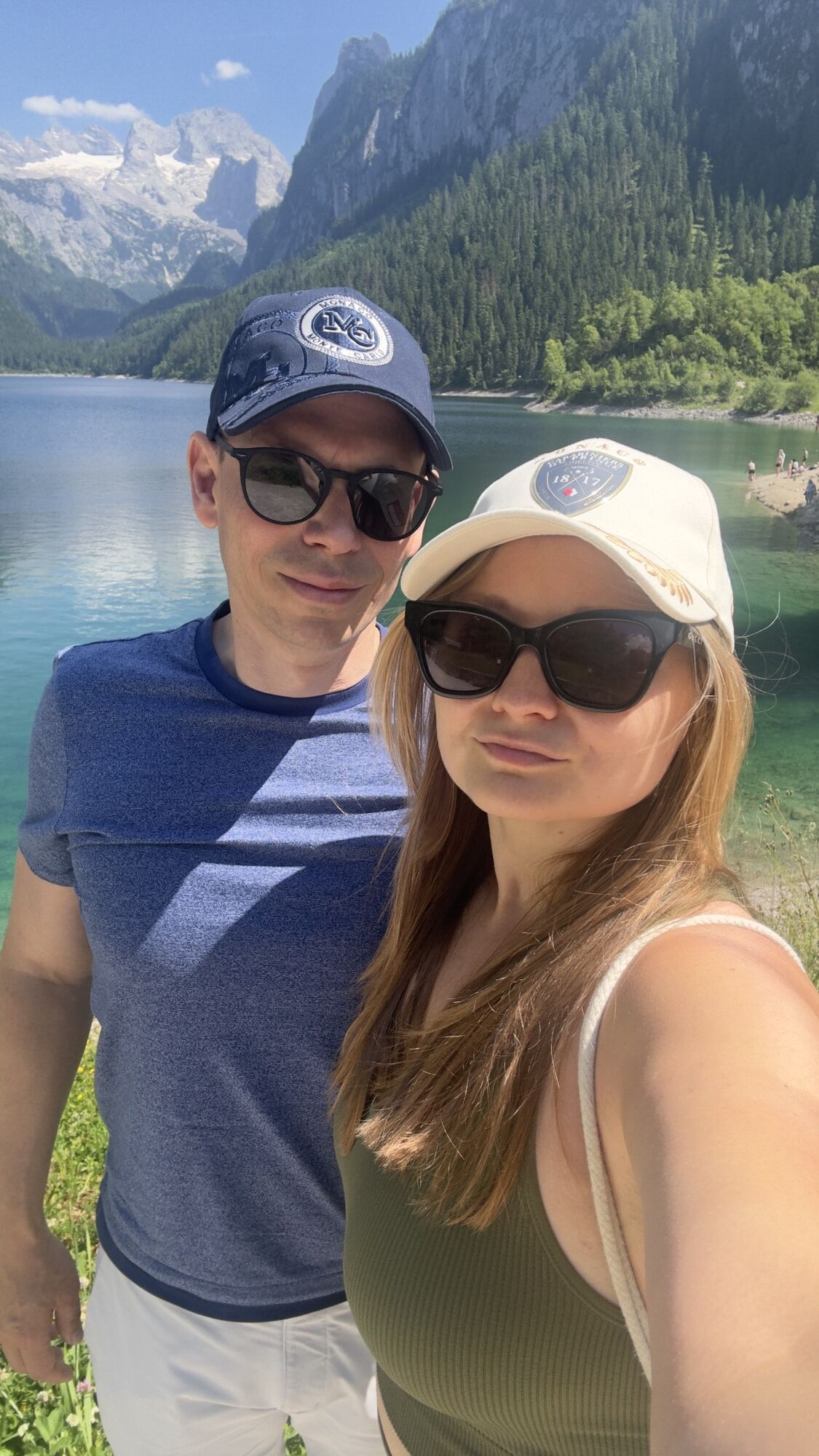
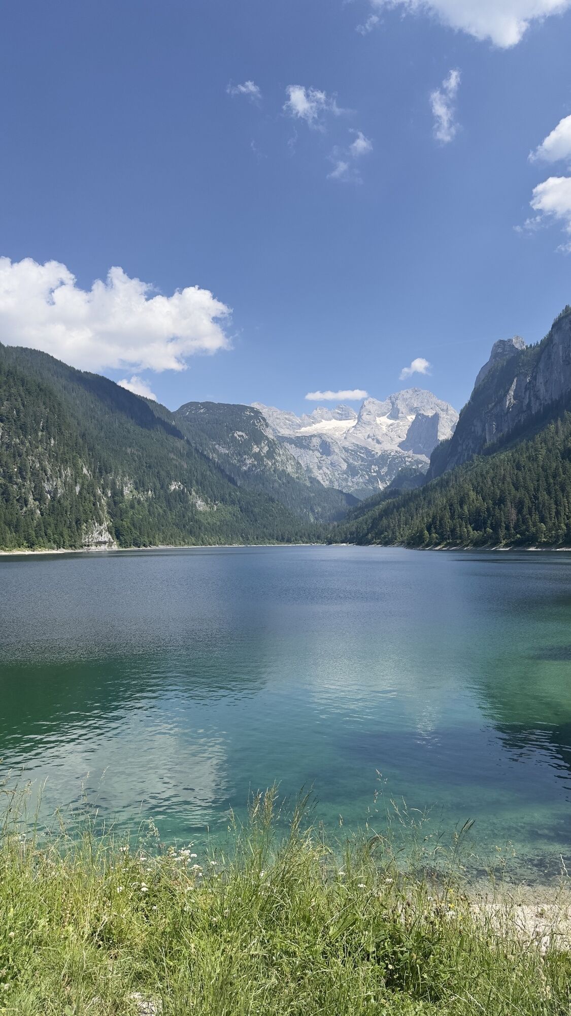
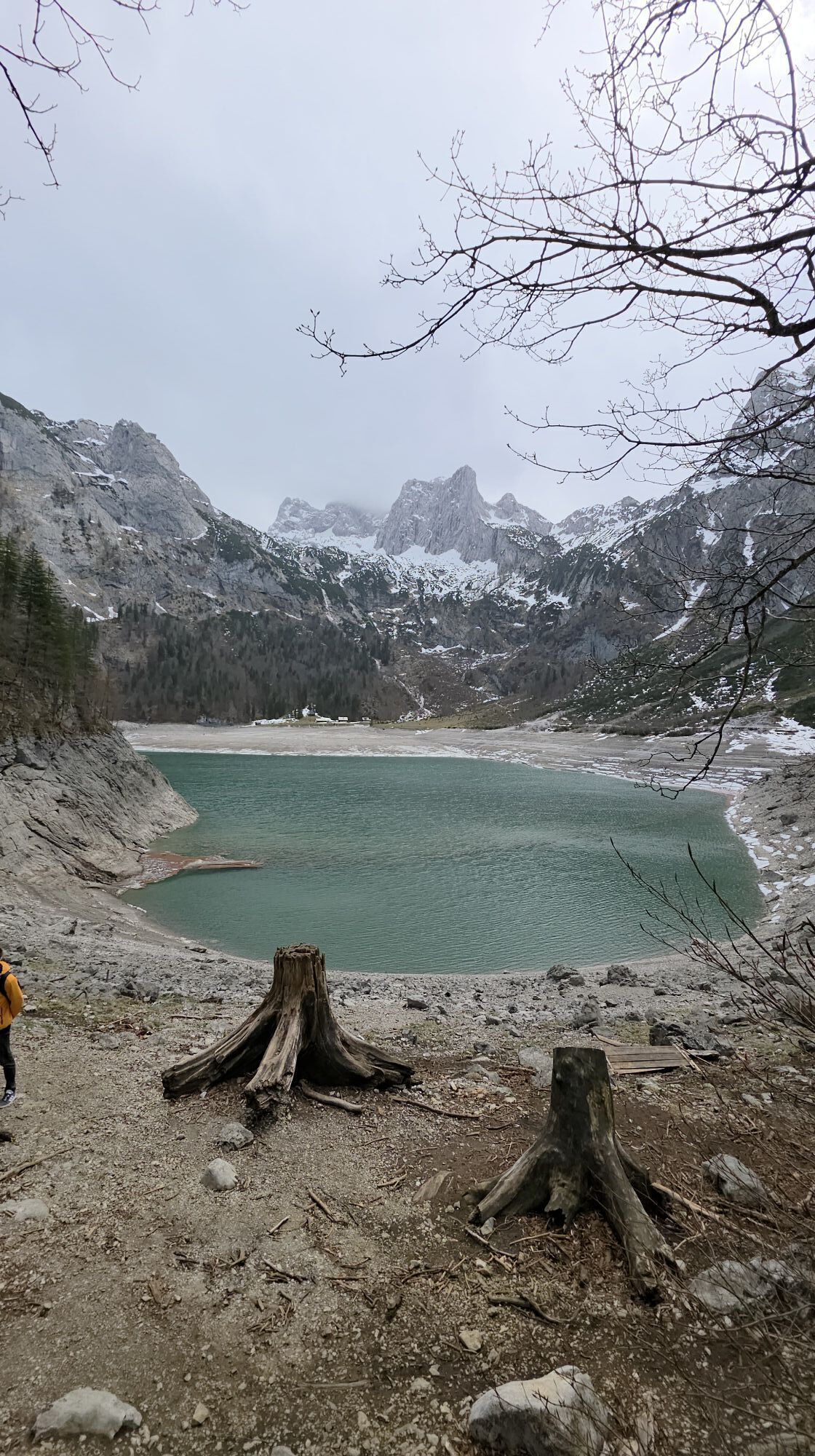
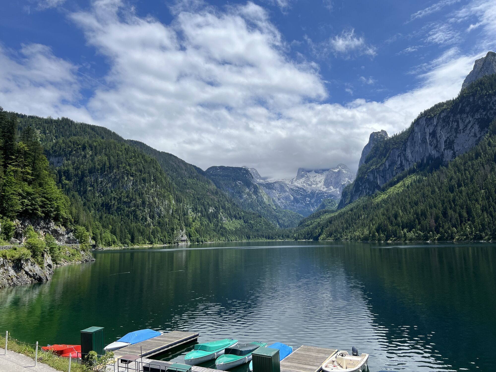
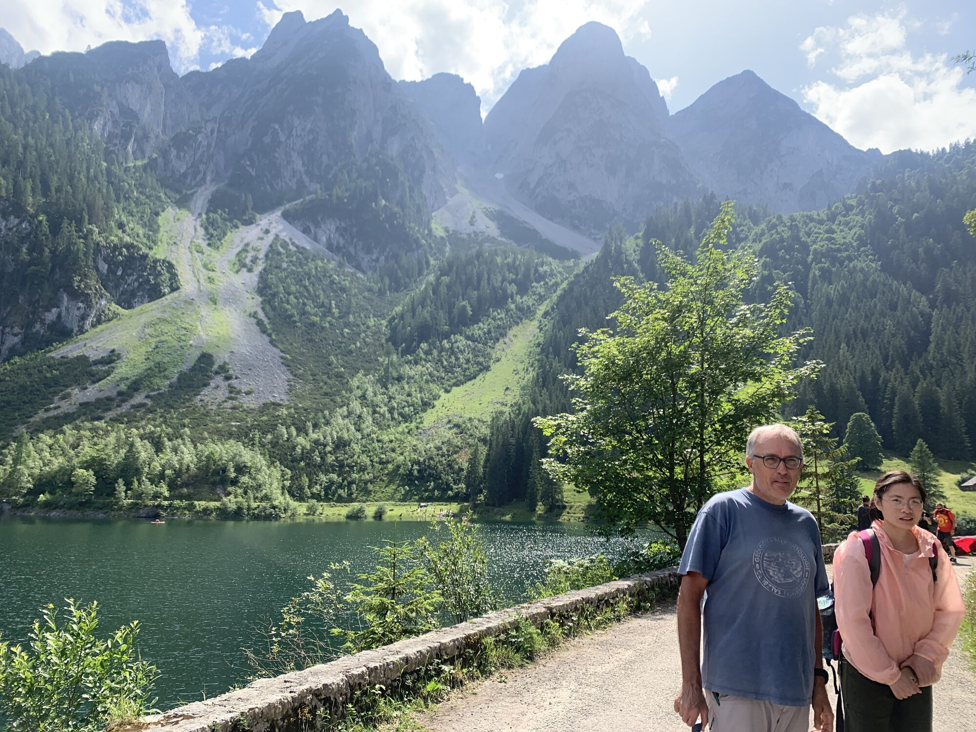
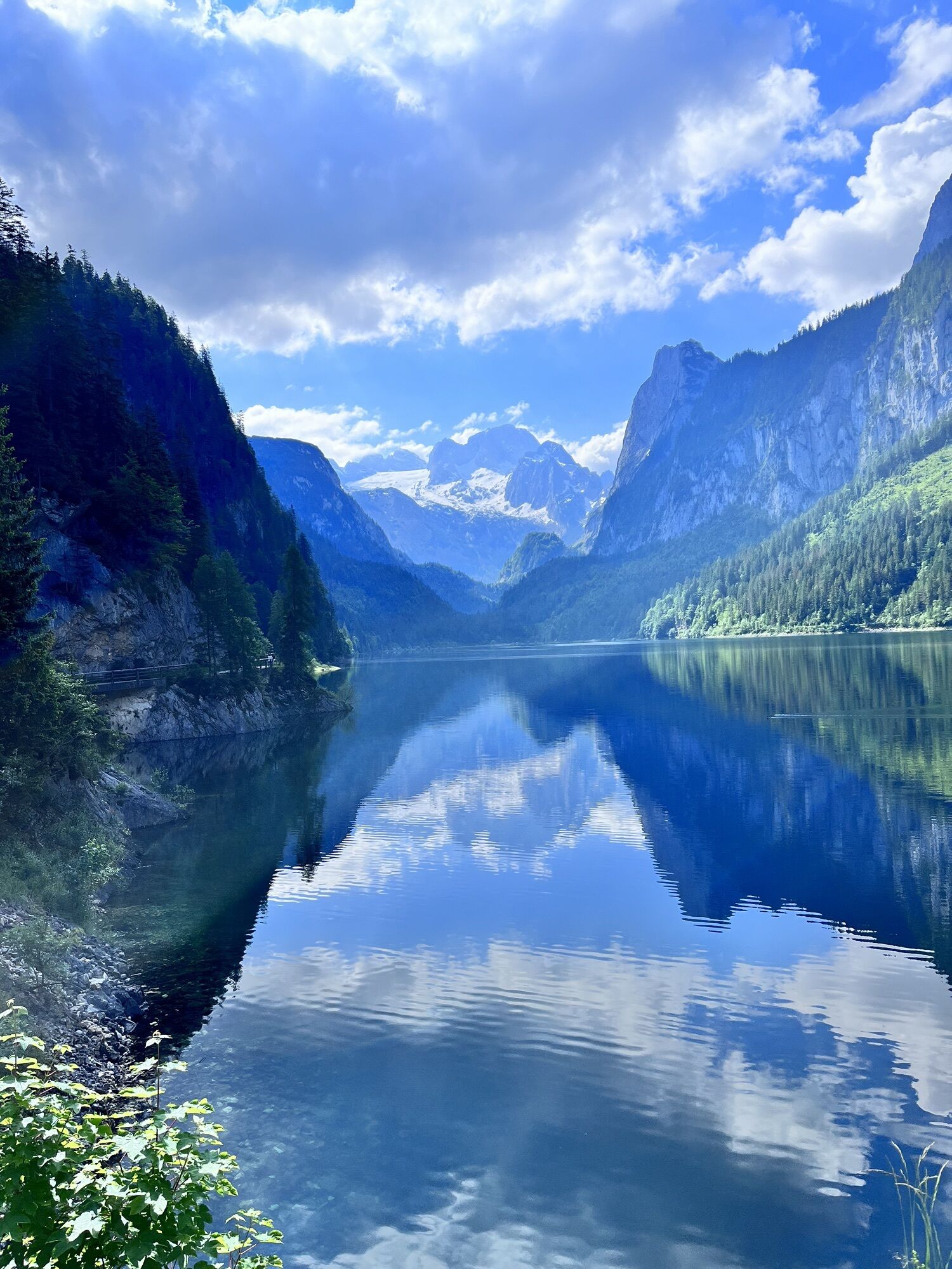
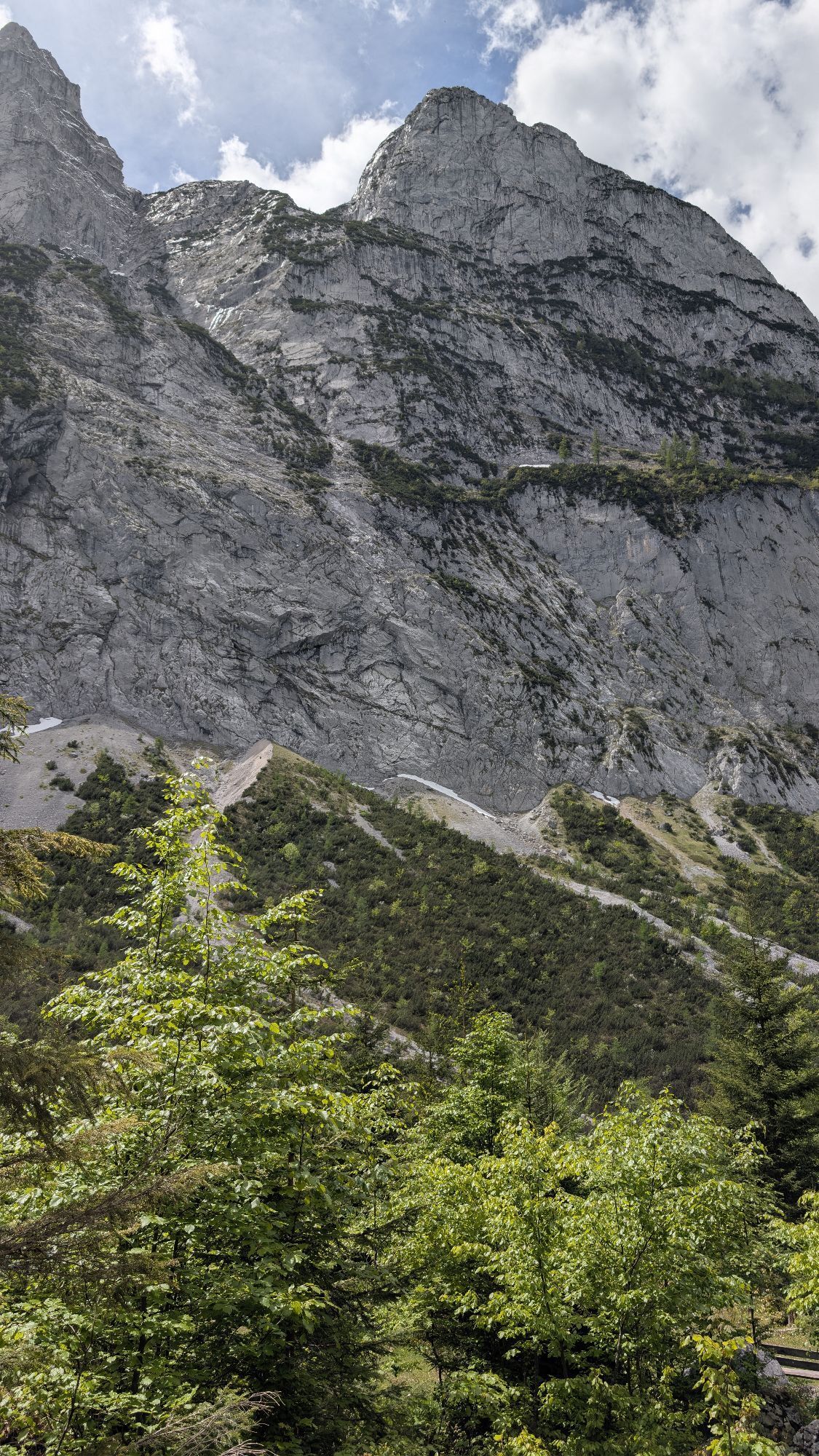
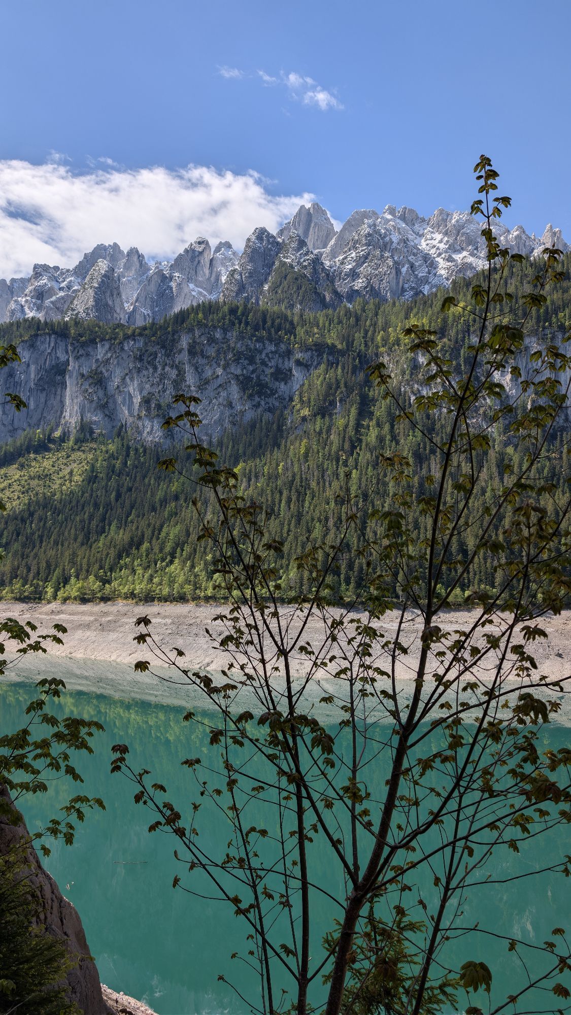
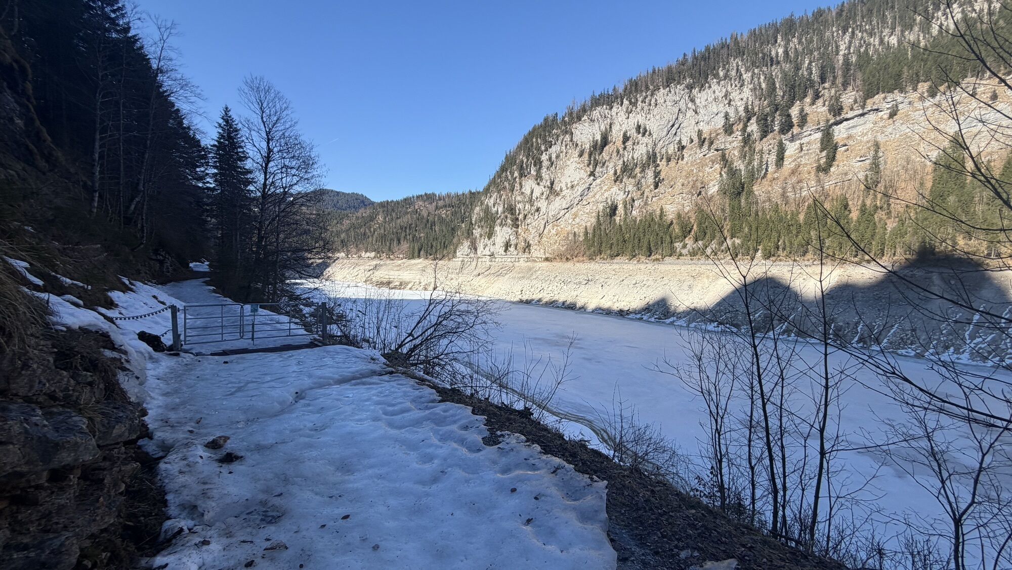
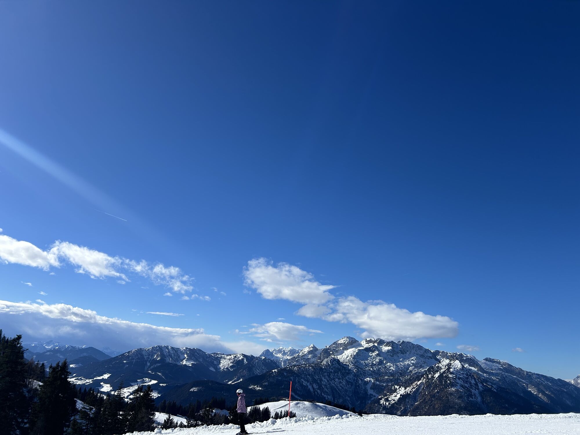
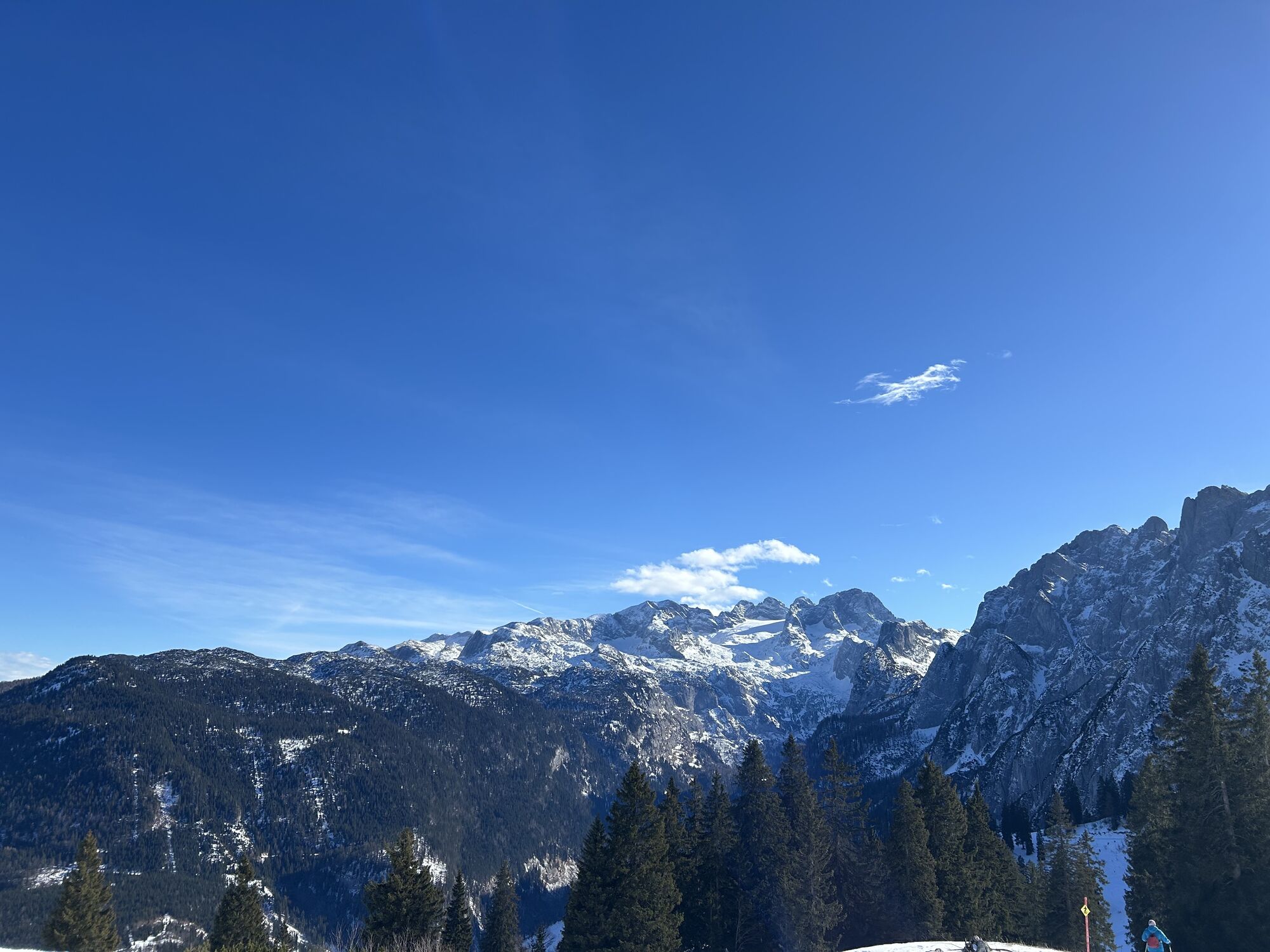
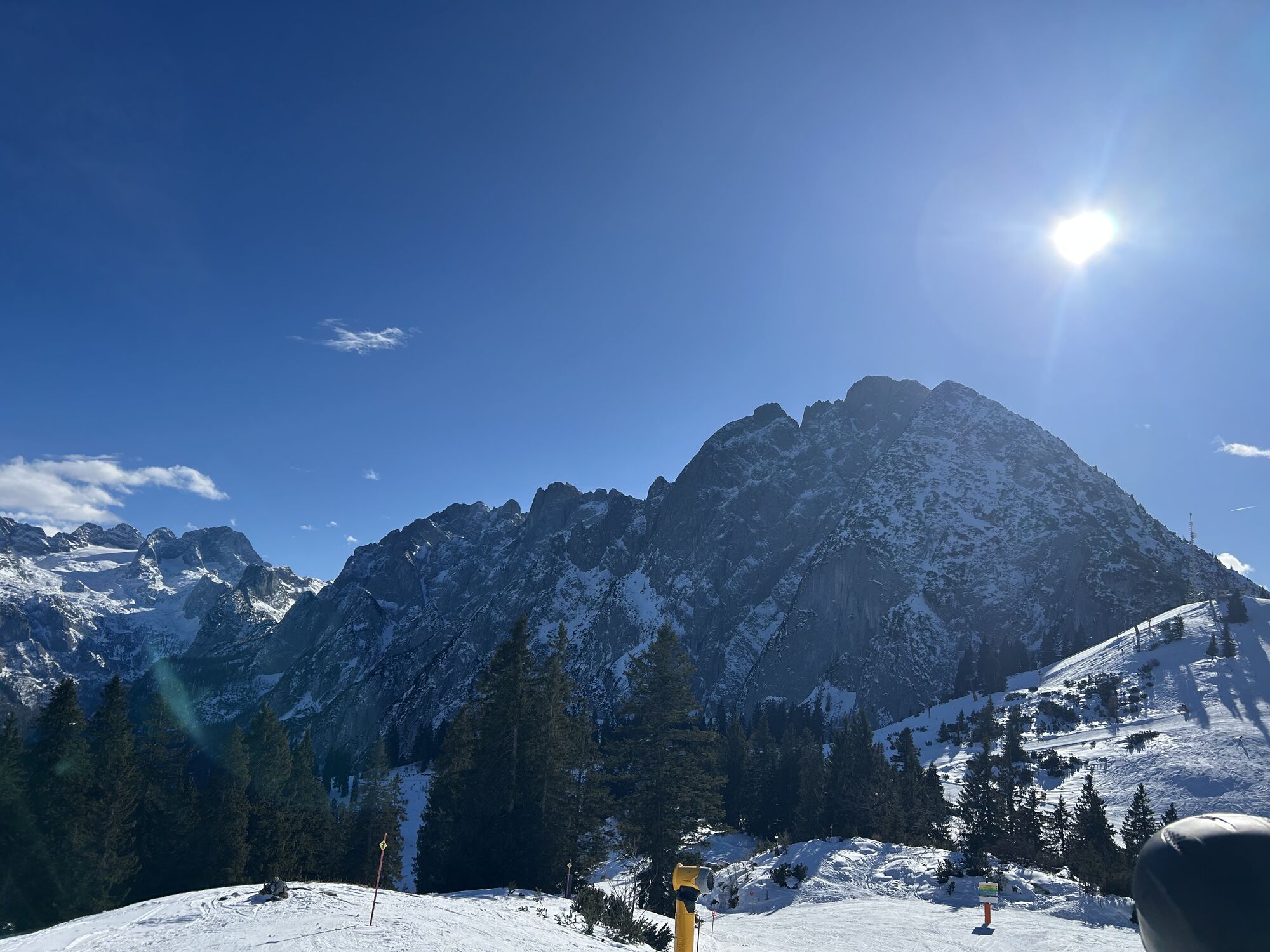
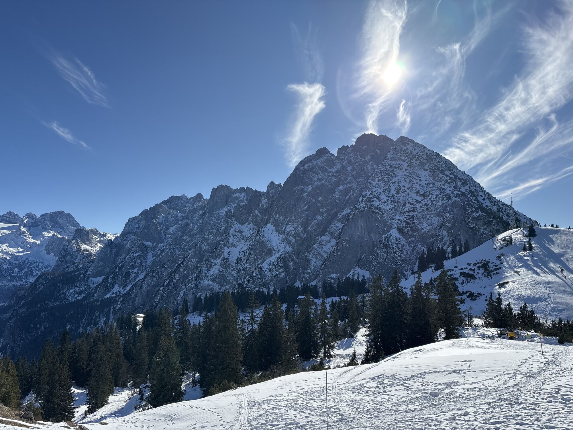
Fotos de nuestros usuarios
-

 © Anton Salmer-TritscherCreado el 11.10.2023
 -
 © Chantal PlettenbergCreado el 04.07.2023
 -
 © Jürgen ClementCreado el 10.06.2023
 -
 © Jürgen ClementCreado el 10.06.2023
 -

 © ViktoriaCreado el 19.06.2025
 -
 © ViktoriaCreado el 19.06.2025
 -
 © Marko AdrianCreado el 17.04.2025
 -
 © Peter PtazekCreado el 15.06.2024
 -
 © Peter PtazekCreado el 15.06.2024
 -
 © Anton Salmer-TritscherCreado el 11.10.2023
 -
 © Anton Salmer-TritscherCreado el 11.10.2023
 -
 © christian rodeCreado el 14.08.2023
 -
 © Chantal PlettenbergCreado el 04.07.2023
 -
 © Jürgen ClementCreado el 10.06.2023
 -
 © SnoopyCreado el 18.05.2026
 -
 © SnoopyCreado el 18.05.2026
 -
 © SnoopyCreado el 18.05.2026
 -
 © Christian Holzer 3Creado el 13.03.2026
 -
 © Christian Holzer 3Creado el 13.03.2026
 -
 © Christian Holzer 3Creado el 13.03.2026
 -
 © Christian Holzer 3Creado el 13.03.2026
 -
 © Christian Holzer 3Creado el 13.03.2026
 -
 © Christian Holzer 3Creado el 13.03.2026
 -
 © Christian Holzer 3Creado el 13.03.2026
 -
 © Christian Holzer 3Creado el 13.03.2026
 -
 © Christian Holzer 3Creado el 13.03.2026
 -
 © Barbara BergerCreado el 07.03.2026
 -
 © Craig DentCreado el 22.02.2026
 -
 © Craig DentCreado el 22.02.2026
 -
 © Mario IlletschkoCreado el 11.02.2026
 -
 © Karolína 13Creado el 10.02.2026
 -
 © Barbara BergerCreado el 03.02.2026
 -
 © Barbara BergerCreado el 03.02.2026
 -
 © Barbara BergerCreado el 03.02.2026
 -

 © Heinz SperlCreado el 02.02.2026
 -
 © Mario IlletschkoCreado el 01.02.2026
 -
 © Jiri HulanCreado el 26.01.2026
 -
 © ErnstwiCreado el 11.01.2026
 -
 © lisale1967Creado el 07.12.2025
 -
 © Buchegger BarbaraCreado el 14.11.2025
 -
 © Lena WabroCreado el 17.10.2025
 -
 © Sven KrieblinCreado el 11.10.2025
 -
 © Sven KrieblinCreado el 11.10.2025
 -
 © Sven KrieblinCreado el 11.10.2025
 -
 © Sven KrieblinCreado el 11.10.2025
 -
 © Sven KrieblinCreado el 11.10.2025
 -
 © Sven KrieblinCreado el 11.10.2025
 -
 © Sven KrieblinCreado el 11.10.2025
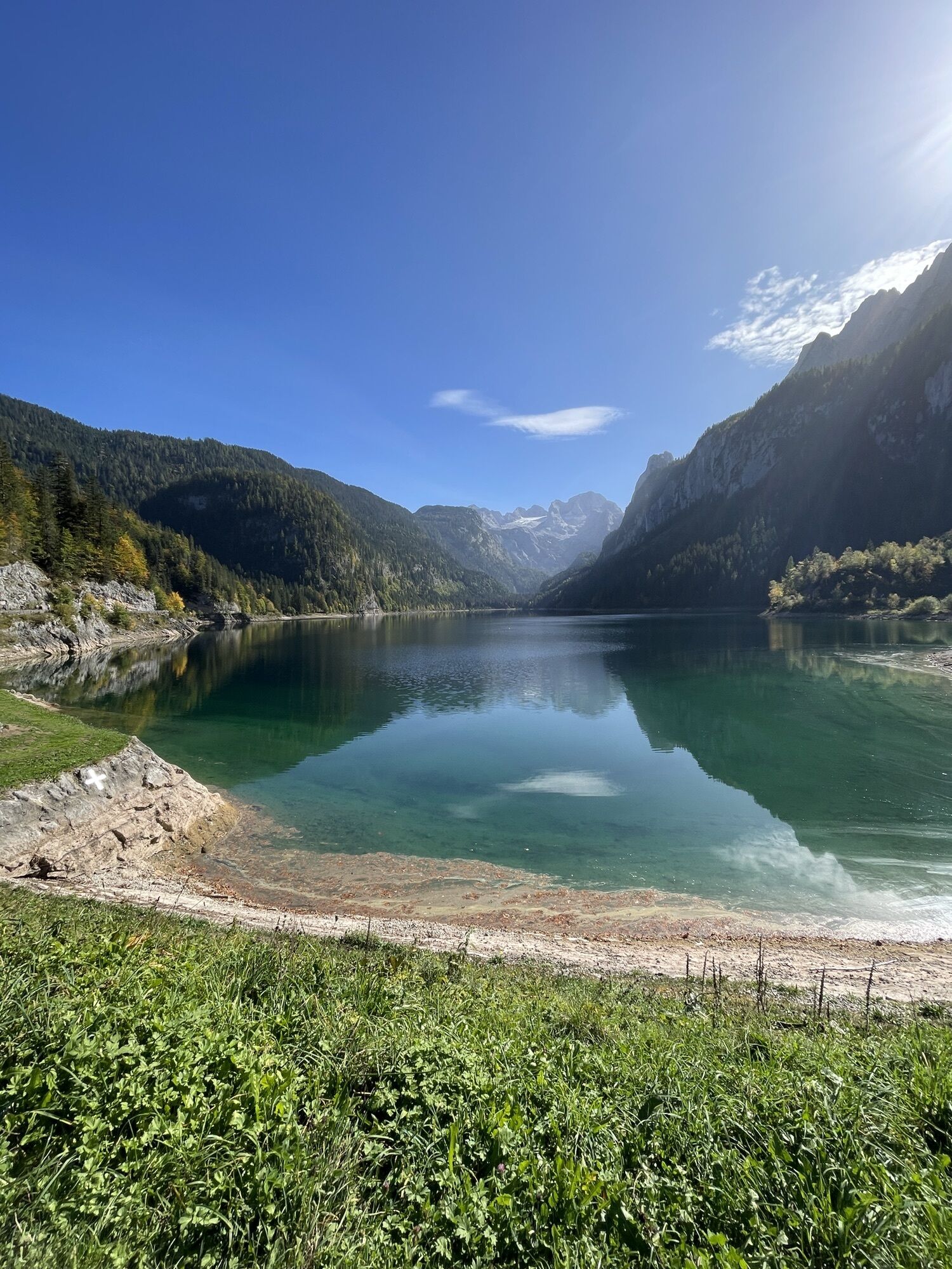

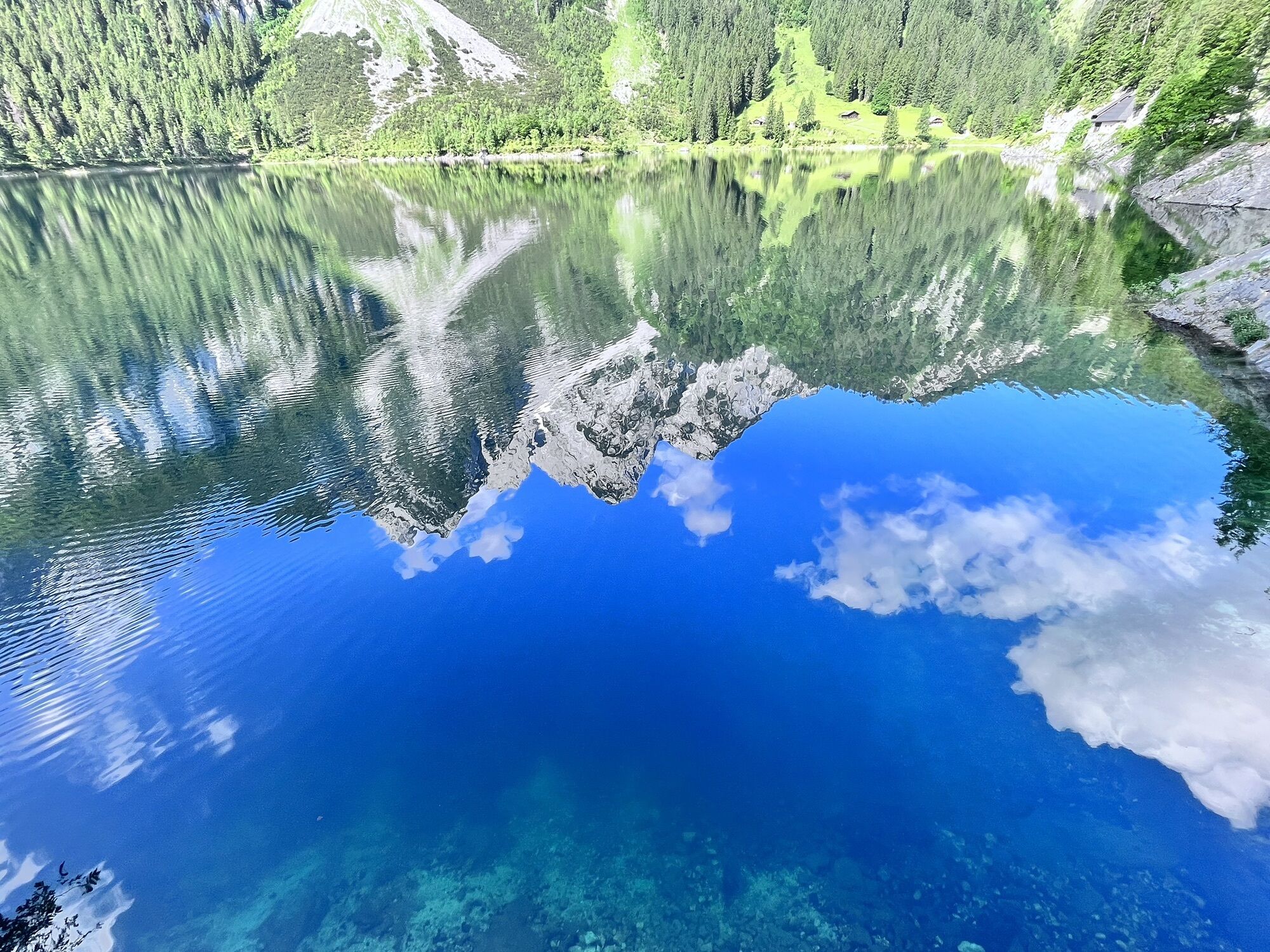
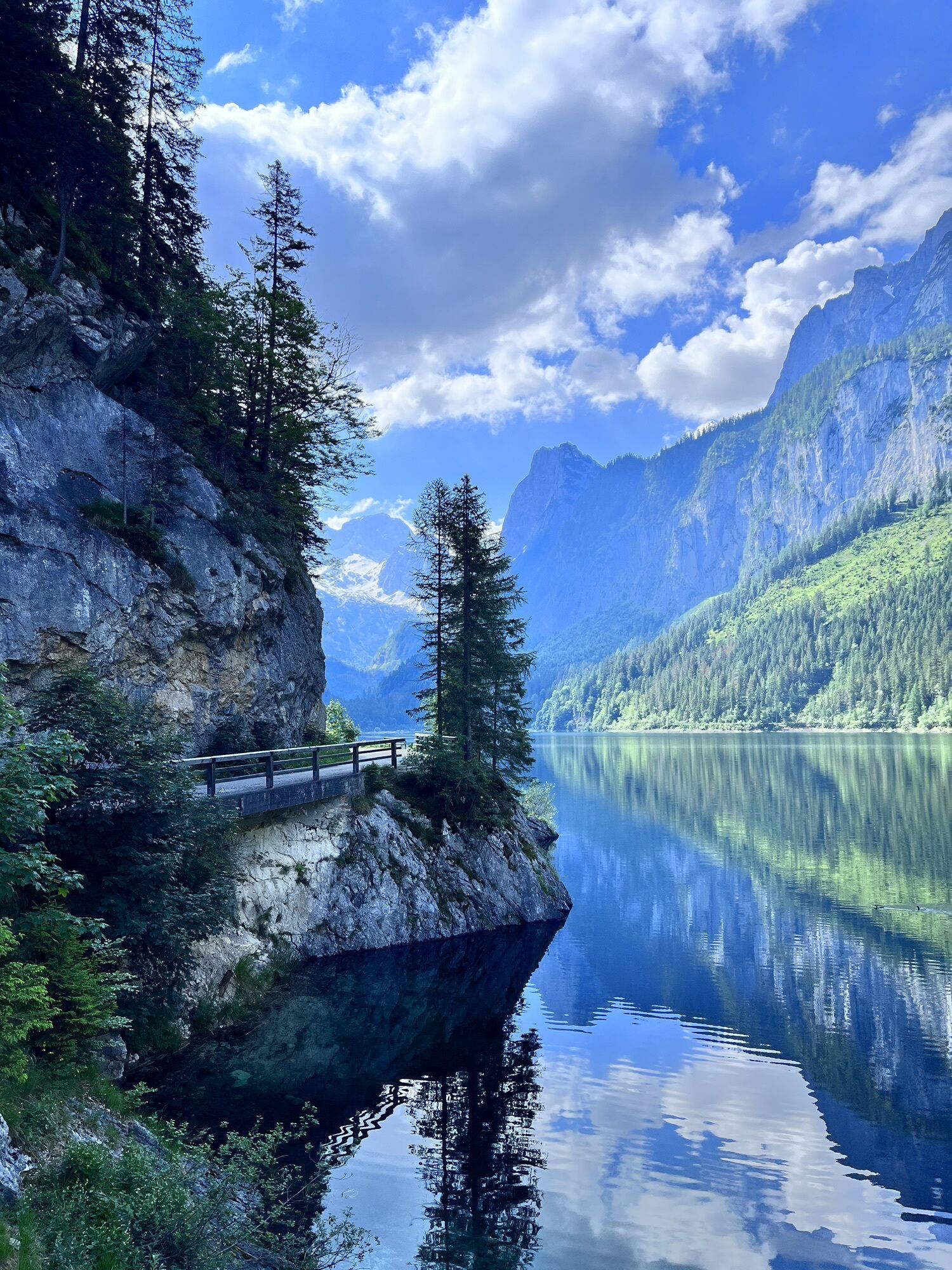


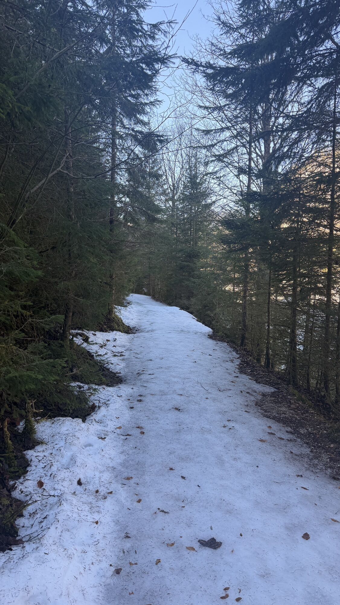

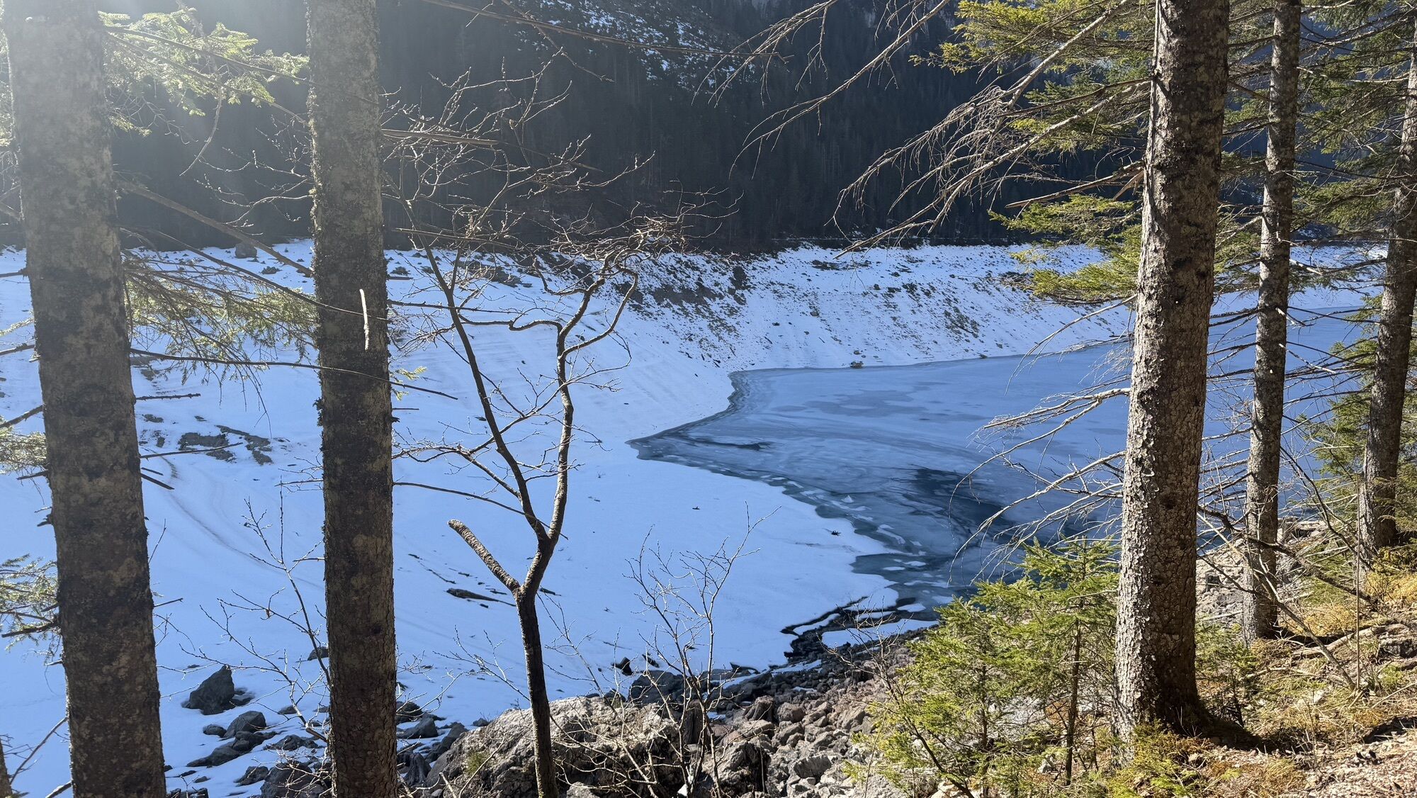

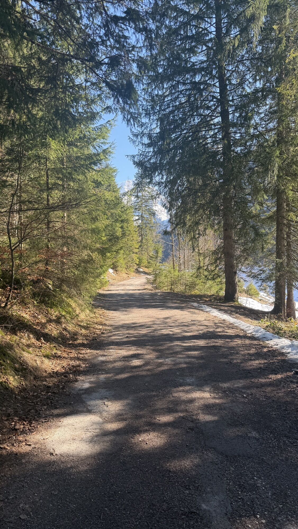
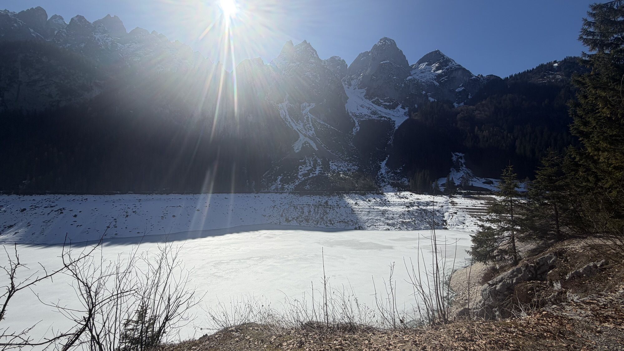
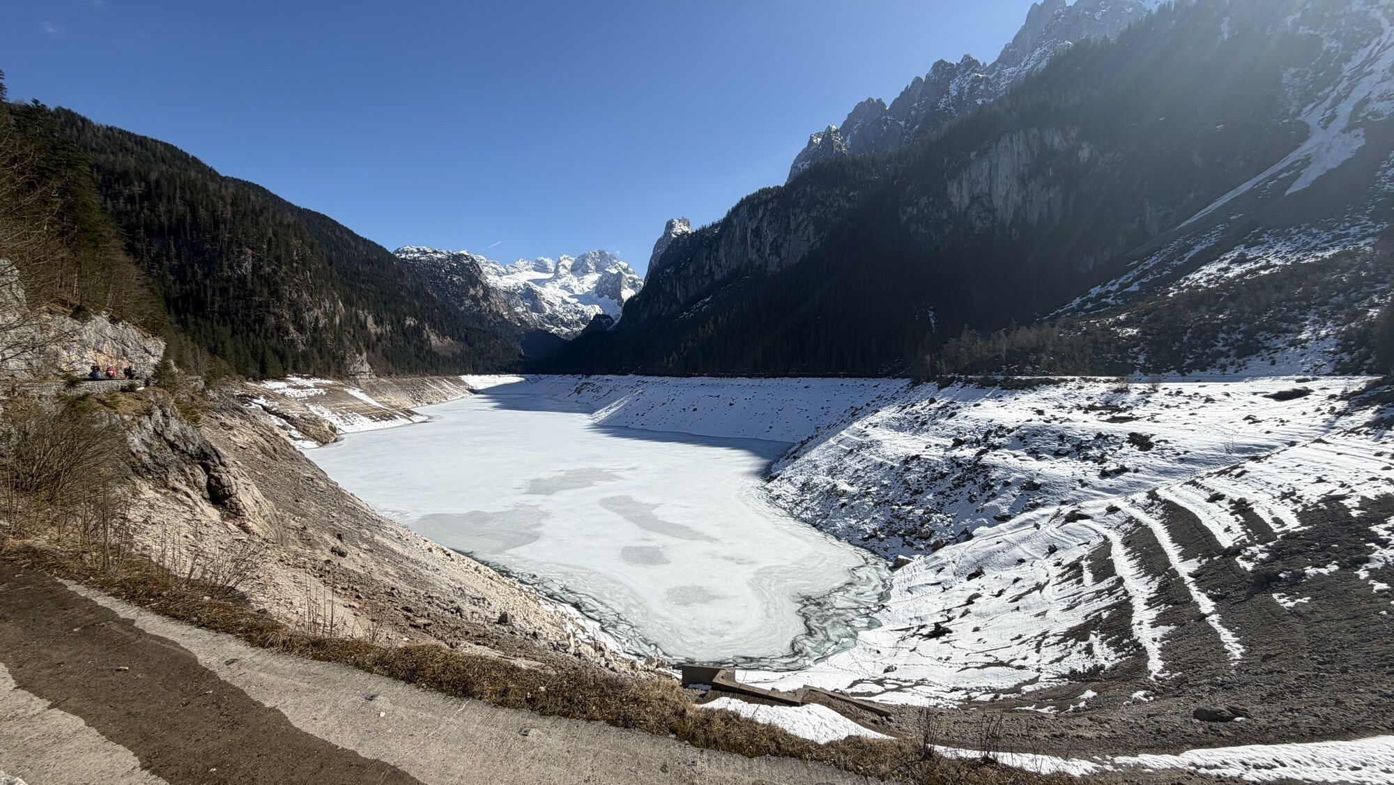
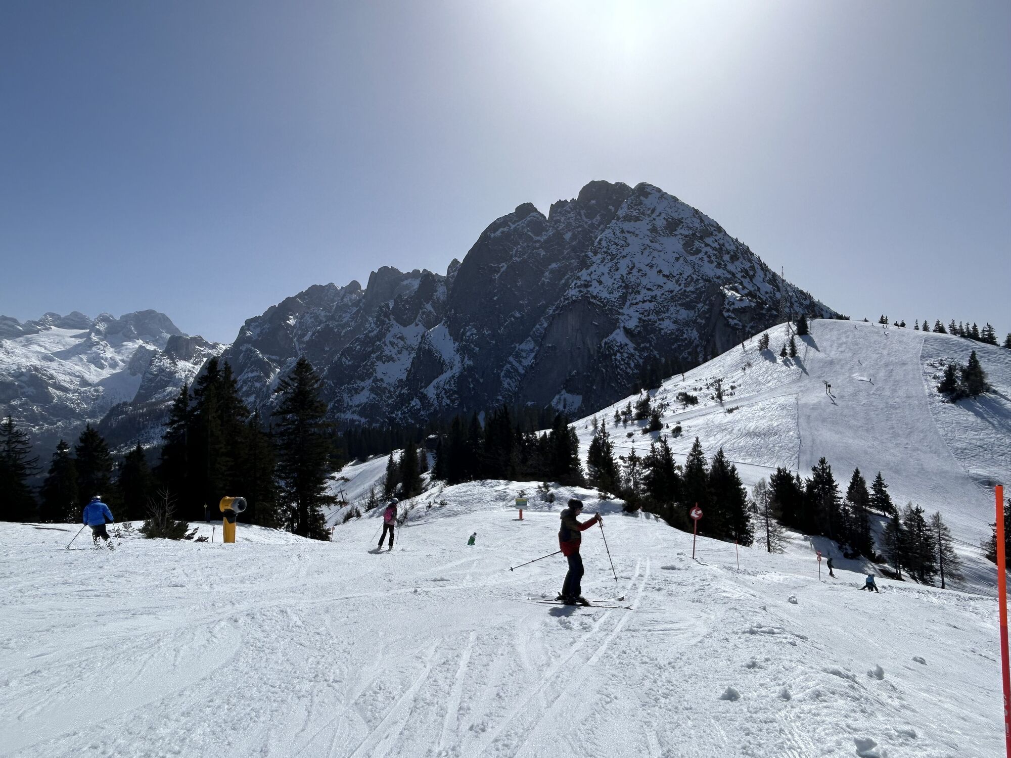


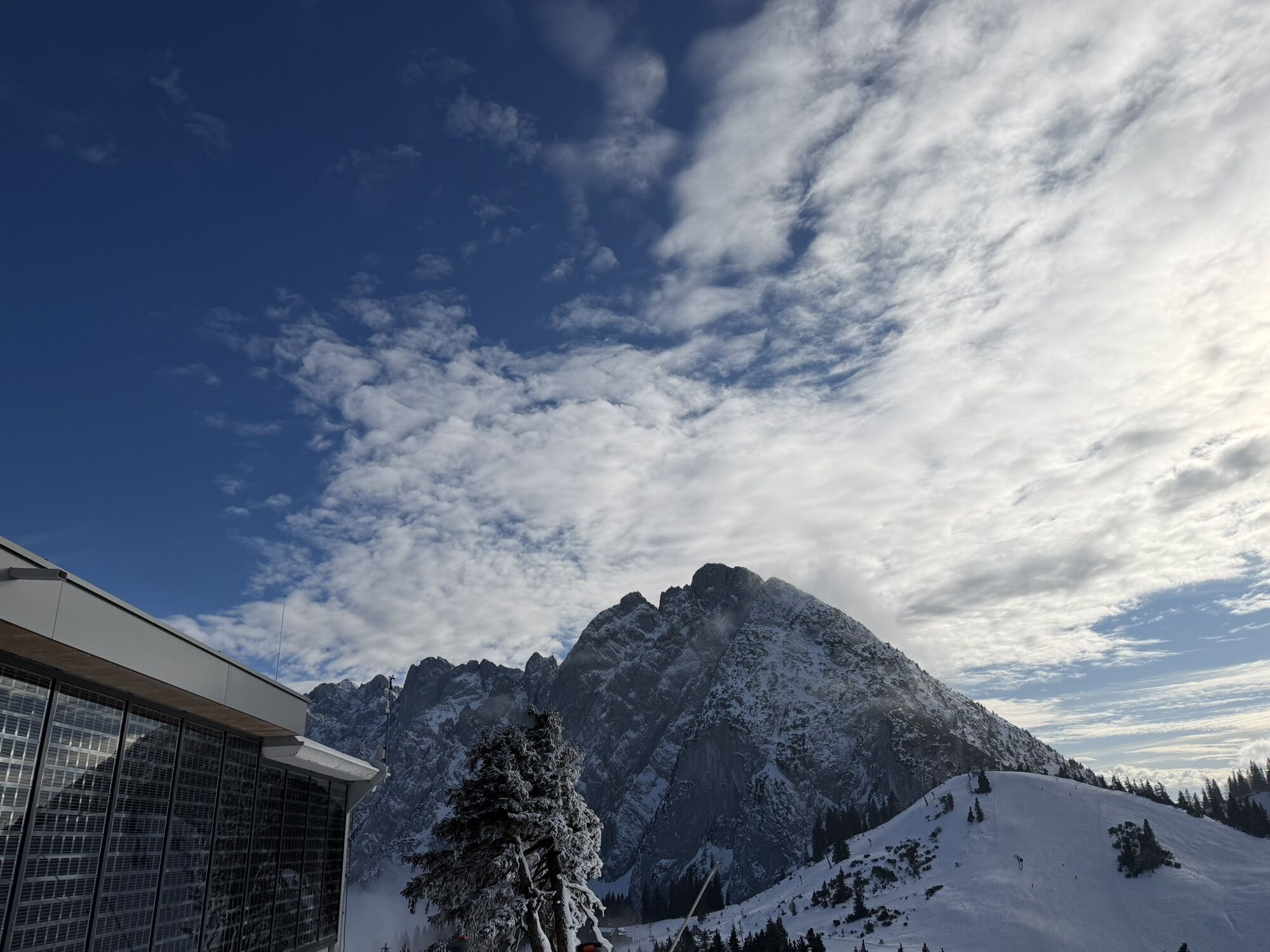


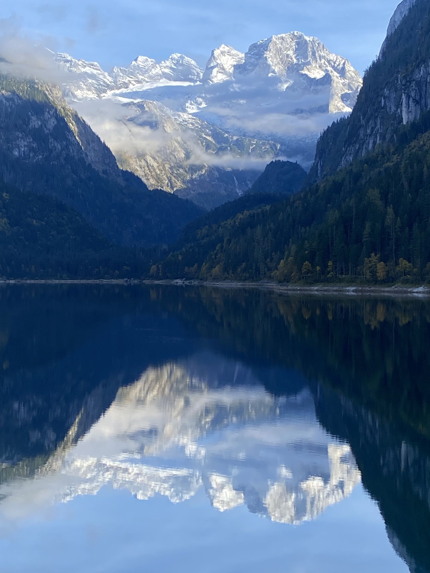
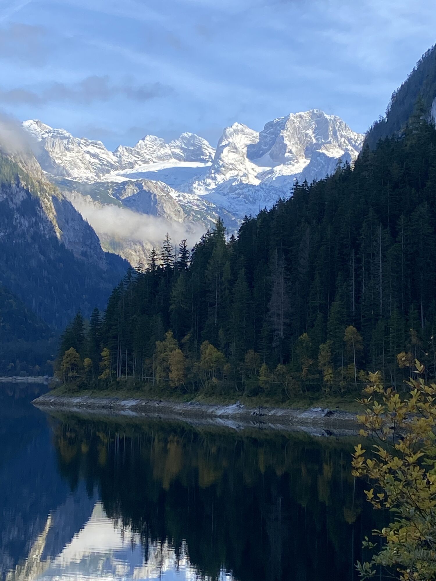


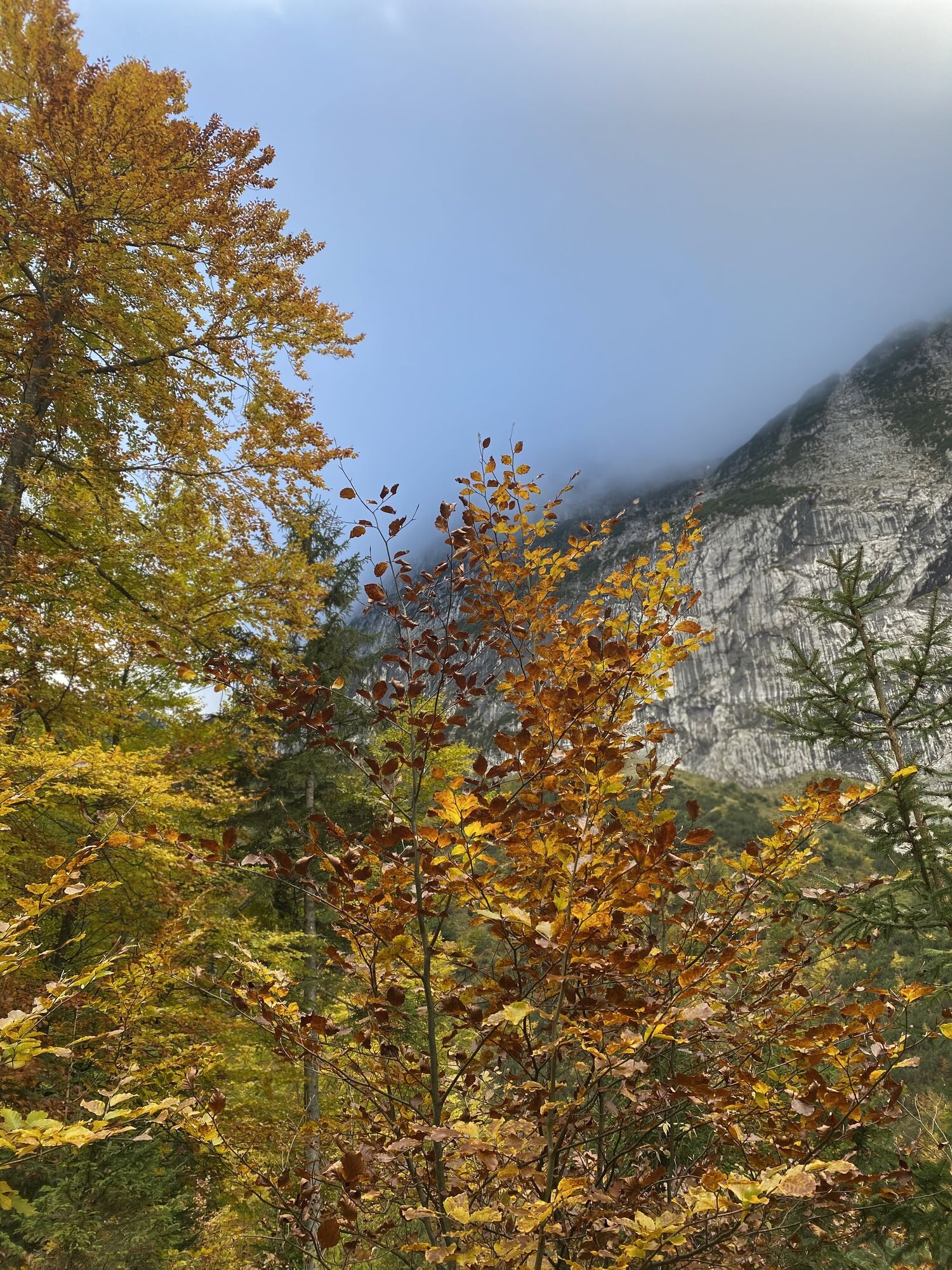

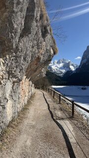
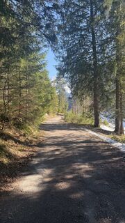
The path is difficult in some parts and Austrian tourist signage is not perfect, way to Abtenau is interrupted privacy grounds, this road is accurate for tourists. The length of over 30 kilometers with...
Descripción de la
The path is difficult in some parts and Austrian tourist signage is not perfect, way to Abtenau is interrupted privacy grounds, this road is accurate for tourists. The length of over 30 kilometers with an elevation of 900 m is for experienced hikers.
Ruta
Zigeunerloch
(1.106 m)
Entrada de la cueva
4,4 km
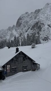
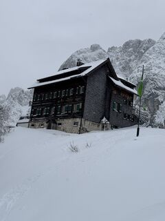
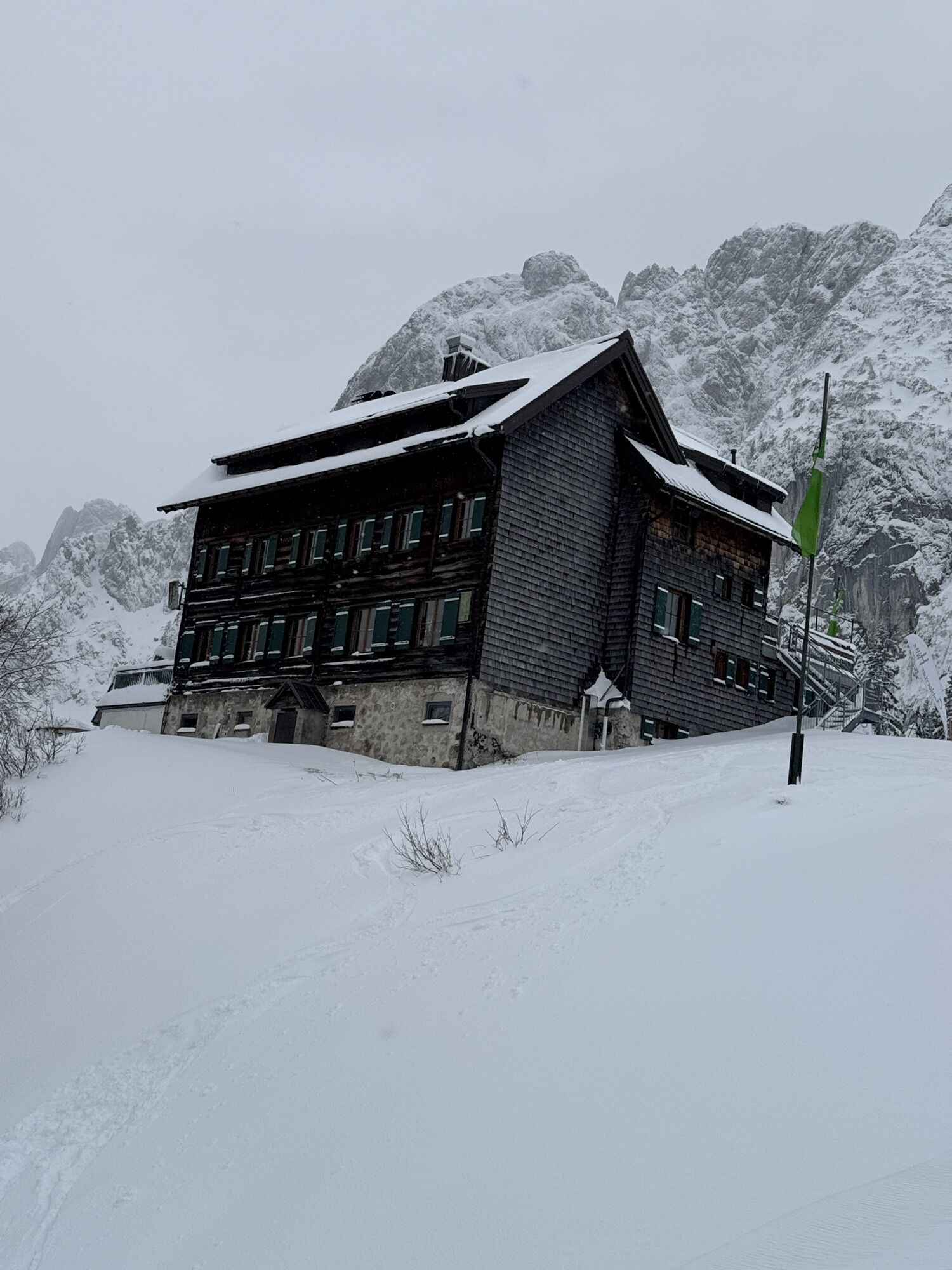
Gablonzer Hütte
(1.520 m)
Refugio
14,0 km
Breininghütte
(1.526 m)
Refugio
14,0 km
Zwieselalmhöhe
(1.587 m)
Cumbre
14,8 km
Klockau
(886 m)
Liquidación
20,5 km
Lindenthal
(750 m)
Pueblo
27,7 km
Markt
(714 m)
Liquidación
31,0 km
Ruta
Around the lake through Zwieselalm to plateau Abtenau
pesado
Excursión de alta montaña
31,33
km
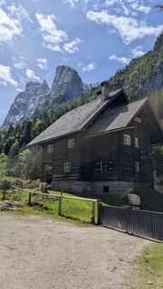
Holzmeister Nieder Alm
(972 m)
Restaurante
2,5 km
Launingfall
(999 m)
Cascada
3,5 km
Zigeunerloch
(1.106 m)
Entrada de la cueva
4,4 km
Zigeunerloch
(1.106 m)
Entrada de la cueva
8,3 km
Launingfall
(999 m)
Cascada
9,1 km
Talstation Gosaukammbahn
(935 m)
Estación de góndola
12,6 km
Gasthof Gosausee
(937 m)
Restaurante
12,6 km
Gablonzer Hütte
(1.520 m)
Refugio
14,0 km
Breininghütte
(1.526 m)
Refugio
14,0 km
Sonnenalm
(1.554 m)
Restaurante
14,5 km
Ausblick
(1.555 m)
Restaurante
14,5 km
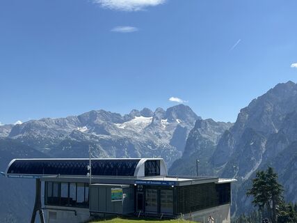
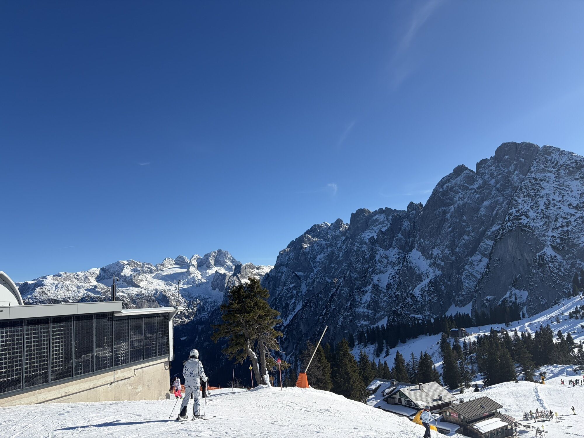
Panorama Jet Zwieselalm
(1.568 m)
Estación de góndola
14,7 km
Sesselbahn Aussichtsberg
(1.567 m)
Estación de góndola
14,8 km
Zwieselalmhöhe
(1.587 m)
Cumbre
14,8 km
Gosaunet-Platzerl
(1.586 m)
Punto de vista
14,8 km
Zwieselalmhütte
(1.436 m)
Refugio
15,4 km
Klockau
(886 m)
Liquidación
20,5 km
Salfelden
(746 m)
Pueblo
24,7 km
Leitenhaus
(744 m)
Pueblo
27,1 km
Kaiser
(787 m)
Liquidación
27,5 km
Lindenthal
(750 m)
Pueblo
27,7 km
Lacken
(784 m)
Liquidación
28,0 km
Fischbach
(770 m)
Pueblo
29,3 km
Fischbachstubn
(775 m)
Restaurante
29,4 km
Markt
(714 m)
Liquidación
31,0 km
Abtenau
(714 m)
Pueblo
31,1 km

Compartir gira
Around the lake through Zwieselalm to plateau Abtenau
pesado
Excursión de alta montaña
31,33
km
Error
Se ha producido un error. Por favor, inténtelo de nuevo.


Último seguimiento
hoy
Información sobre la ruta
Alternativas
Mit dem Sessellift
Información de llegada
Transporte público
ÖBB Postbus
Gosausee
Annaberg im Lammertal Asteiner - Abtenau
Aparcamiento
Seeklausalm
Valoraciones
5
(1)
4
(0)
3
(0)
2
(0)
1
(0)
Webcams del recorrido
-
Annaberg-Lungötz
-
Karkogel - Abtenau
-
Sonnleiten - Abtenau
-
Hornspitz Talstation
-
Zwieselalm Bergstation
-
Snowpark Dachstein West
-
Edtalm
-
Feriendorf Annaberg
-
Bergstation Hornbahn - Hornspitz
-
Bergstation Hornbahn - Hornspitz
-
Bergstation Hornbahn - Hornspitz
-
Bergstation Hornbahn - Hornspitz
-
Dachstein West - Donnerkogelbahn
-
Bergstation Hornbahn - Hornspitz
-
Bergstation Hornbahn - Hornspitz
-
Zwieselalm Talstation - Dachstein West
-
Lungötz
-
Hornspitz II Bergstation
-
Dachstein West - Donnerkogelbahn
-
Snowpark Dachstein West
-
Gasthaus Gosausee
-
Marktplatz Abtenau
Actividades a lo largo del recorrido
-

Gosau, Upper Austria/Austria
23.05.2026 – Senderismo -
Gosau, Oberösterreich/Österreich
23.05.2026 – Senderismo -
Gosau, Upper Austria/Austria
23.05.2026 – Senderismo -

Gosau, Oberösterreich/Österreich
18.05.2026 – Senderismo -
Gosau, Oberösterreich/Österreich
18.05.2026 – Senderismo -

Gosau, Oberösterreich/Österreich
17.05.2026 – Senderismo -

Gosau, Oberösterreich/Österreich
16.05.2026 – Senderismo -
Gosau, Oberösterreich/Österreich
15.05.2026 – Senderismo -
Gosau, Oberösterreich/Österreich
13.05.2026 – Senderismo -
Gosau, Oberösterreich/Österreich
10.05.2026 – Senderismo -
Gosau, Oberösterreich/Österreich
10.05.2026 – Senderismo -
Gosau, Oberösterreich/Österreich
06.04.2026 – Senderismo -

Gosau, Oberösterreich/Österreich
28.12.2025 – Senderismo -
Gosau, Upper Austria/Austria
23.10.2025 – Senderismo -
Gosau, Oberösterreich/Österreich
17.10.2025 – Senderismo -
Gosau, Oberösterreich/Österreich
11.10.2025 – Senderismo de montaña -

Gosau, Oberösterreich/Österreich
28.09.2025 – Senderismo -

Gosau, Oberösterreich/Österreich
28.09.2025 – Senderismo -
Gosau, Oberösterreich/Österreich
21.09.2025 – Senderismo -
Gosau, Oberösterreich/Österreich
21.09.2025 – Senderismo
Rutas populares en los alrededores
-
4,3
Filzmoos: Rötelstein (Rettenstein)
Senderismo 9,50 km -
4,7
Alrededor del Gosaukamm
medioSenderismo 20,9 km -
4,7
Alrededor del lago Gosau
luzSenderismo 4,43 km -
4,7
Tor-Wanderung
pesadoSenderismo 14,2 km -
4,5
Adamekhütte vom Vorderen Gosausee
medioSenderismo 23,2 km -
4,7
Mühlenweg und Winnerfall Scheffau am Tennengebirge
medioSenderismo 4,79 km -
4,7
Bachlalm-Murmeltiere Rundwanderweg
luzSenderismo 10,2 km -
4,6
Donnerkogel vom Gosausee mit Intersport Klettersteig C/D und Himmelsleiter
pesadoVía ferrata 7,70 km -
4,4
Hornspitz von Russbach
medioEsquí de travesía 6,93 km -
4,7
Rinnkogel Gipfelwanderungen
pesadoSenderismo 10,7 km
Senderismo y rastreo

Más de 550.000 sugerencias de excursiones, mapas detallados y un intuitivo planificador de rutas hacen de esta aplicación una herramienta imprescindible para todos los amantes de la naturaleza.

No se pierda las ofertas y la inspiración para sus próximas vacaciones
Suscribirse al boletín de noticias
Error
Se ha producido un error. Por favor, inténtelo de nuevo.
Gracias por inscribirse
Su dirección de correo electrónico se ha añadido a la lista de correo.
Viajes por Europa
Austria
Suiza
Alemania
Italia
Eslovenia
Francia
Países Bajos
Belgium
Polonia
Liechtenstein
República Checa
Slovakia
España
Croacia
Bosnia y Herzegovina
Luxemburgo
Andorra
Portugal
Iceland
United Kingdom
Ireland
Greece
Albania
North Macedonia
Malta
Norway
Montenegro
Moldova
Kosovo
Hungary
San Marino
Romania
Estonia
Latvia
Belarus
Cyprus
Lithuania
Serbia
Bulgaria
Monaco
Denmark
Sweden
Finland