

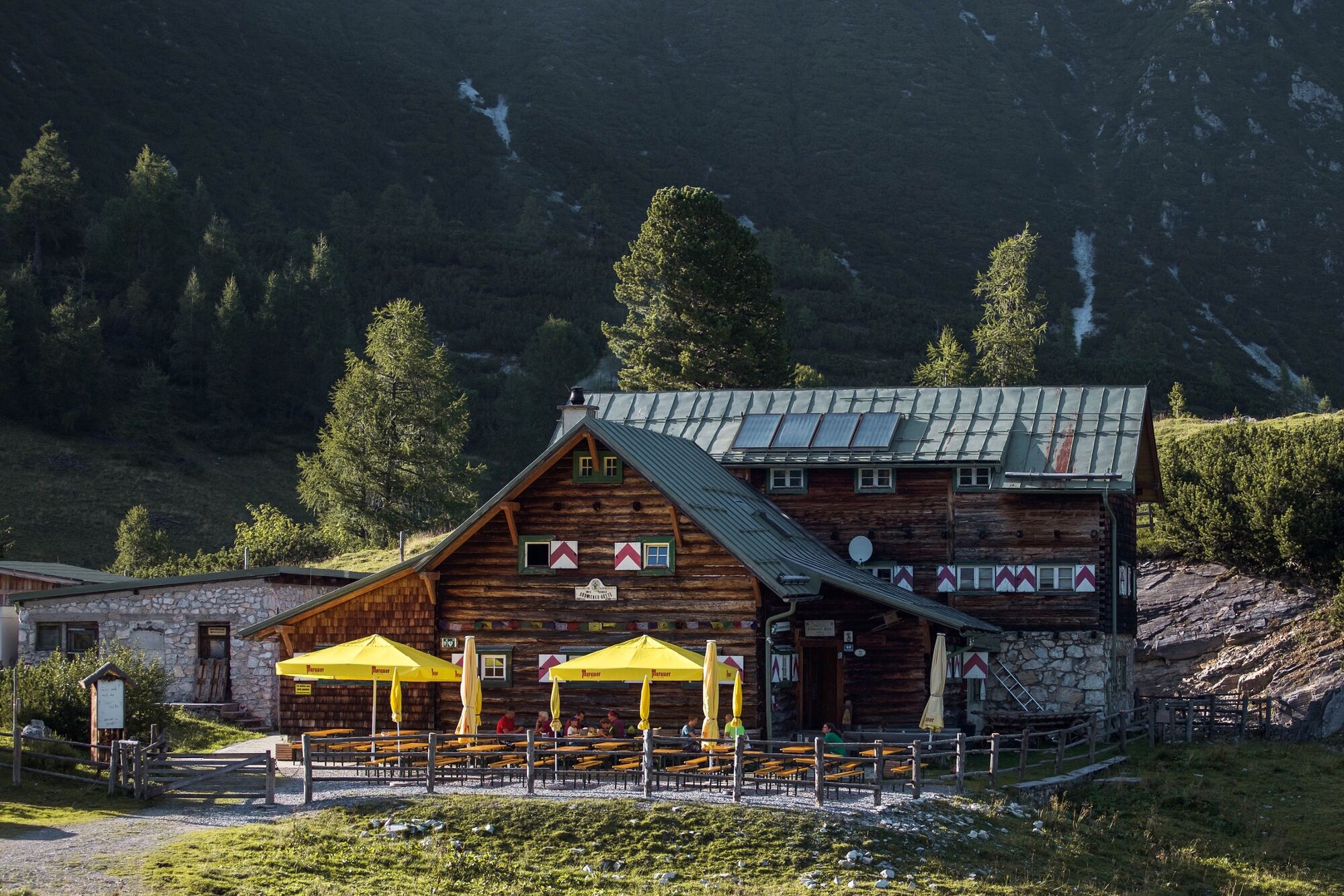
© Tourismusverband Radstadt/Markus Rohrbacher - Markus Rohrbacher

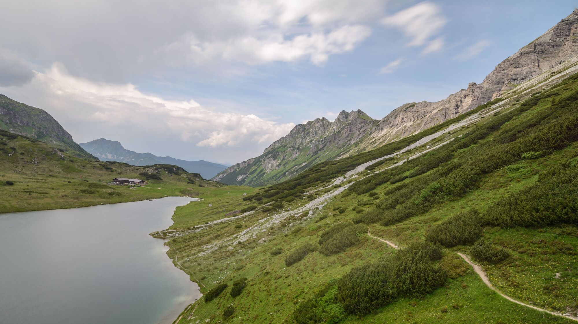
© Archiv Alpenverein-Gebirgsverein/Luisa Millonig - Luisa Millonig

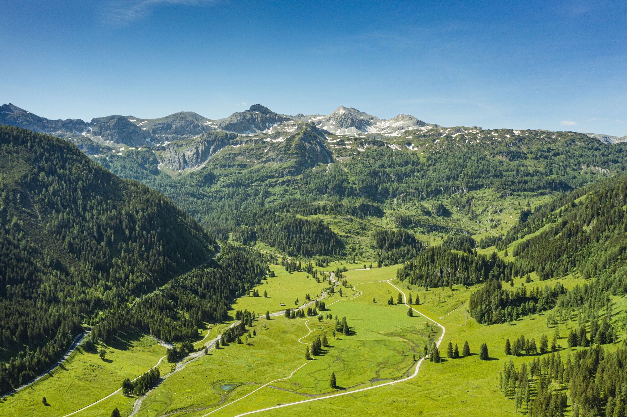
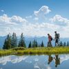
© Tourismusverband Radstadt/Felix Dorn - Felix Dorn

- Breve descripción
-
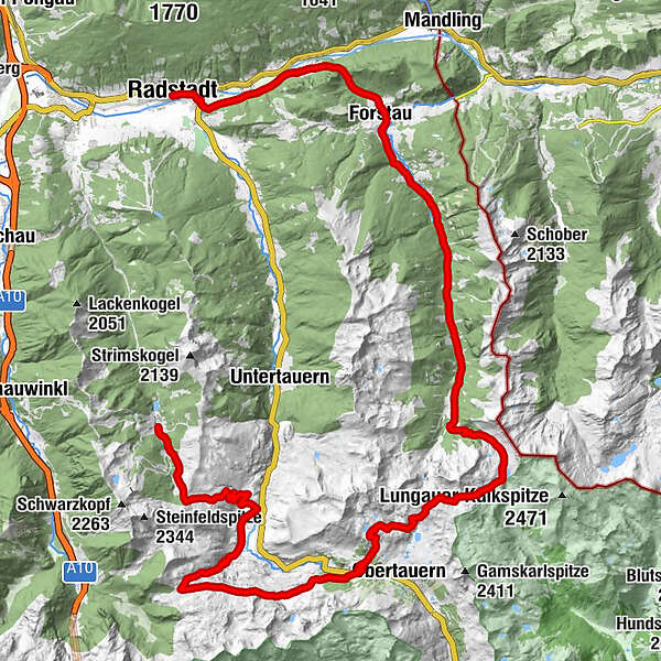
- The 22nd or 23rd stage leads in a 4 1/2 hour hike from Oberzauchensee to the Südwienerhütte (overnight stay in a hut)
- The 23rd or 24th stage leads in a 5 hour hike from the Südwienerhütte to the Oberhütte (overnight stay in a hut)
- The 25th or 26th stage leads in a 5 1/2 hour hike from the Oberhütte via Forstau to Radstadt
- Dificultad
-
medio
- Valoración
-
- Ruta
-
Zauchensee0,0 kmTauernkaralm3,8 kmTauernkarleitenalm3,9 kmVordergnadenalm7,4 kmGnadenalm7,5 kmHintergnadenalm9,2 kmHuber Hutte9,3 kmSüdwiener Hütte12,6 kmZum Heiligen Petrus in Banden19,0 kmMonte Flu-Bahn Talstation20,0 kmHochalmbahn Talstation21,6 kmHochalm21,7 kmDikt'nalm23,8 kmKringsalmbahn Talstation23,9 kmKringsalm23,9 kmSeekarscharte (2.026 m)24,8 kmSchönalmbahn Bergstation24,8 kmOberhütte am See28,6 kmOberhütte28,7 kmVögeialm31,6 kmVögeialmkapelle31,8 kmHintereggalm33,0 kmEllmaualm35,8 kmErblehenalm36,1 kmWinklhütte38,9 kmSt. Leonhard42,5 kmForstau42,7 kmForstauer Wirt42,7 kmKapuzinerkirche51,0 kmRadstadt (858 m)51,2 km
- La mejor temporada
-
enefebmarabrmayjunjulagosepoctnovdic
- Punto álgido
- 2.082 m
- Punto final
-
Radstadt
- Perfil alto
-

-
-
AutorLa gira Salzburger Almenweg - stage 22 - 26 es utilizado por outdooractive.com proporcionado.
GPS Downloads


Información general
Punto de avituallamiento
Vistas panorámicas
Más circuitos por las regiones
-
Katschberg Lieser-Maltatal
2555
-
Obertauern
1643
-
Untertauern
505


