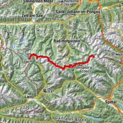
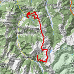
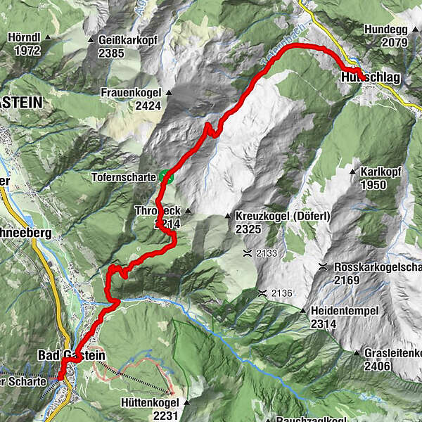
Salzburger Almenweg - Stage 10: Bad Gastein - Hüttschlag


© © SalzburgerLand Tourismu - Denis Cebulec

© Salzburger Almenweg - Tourismusverband Großarltal

© Salzburger Almenweg - Tourismusverband Großarltal

© Salzburger Almenweg - Tourismusverband Großarltal

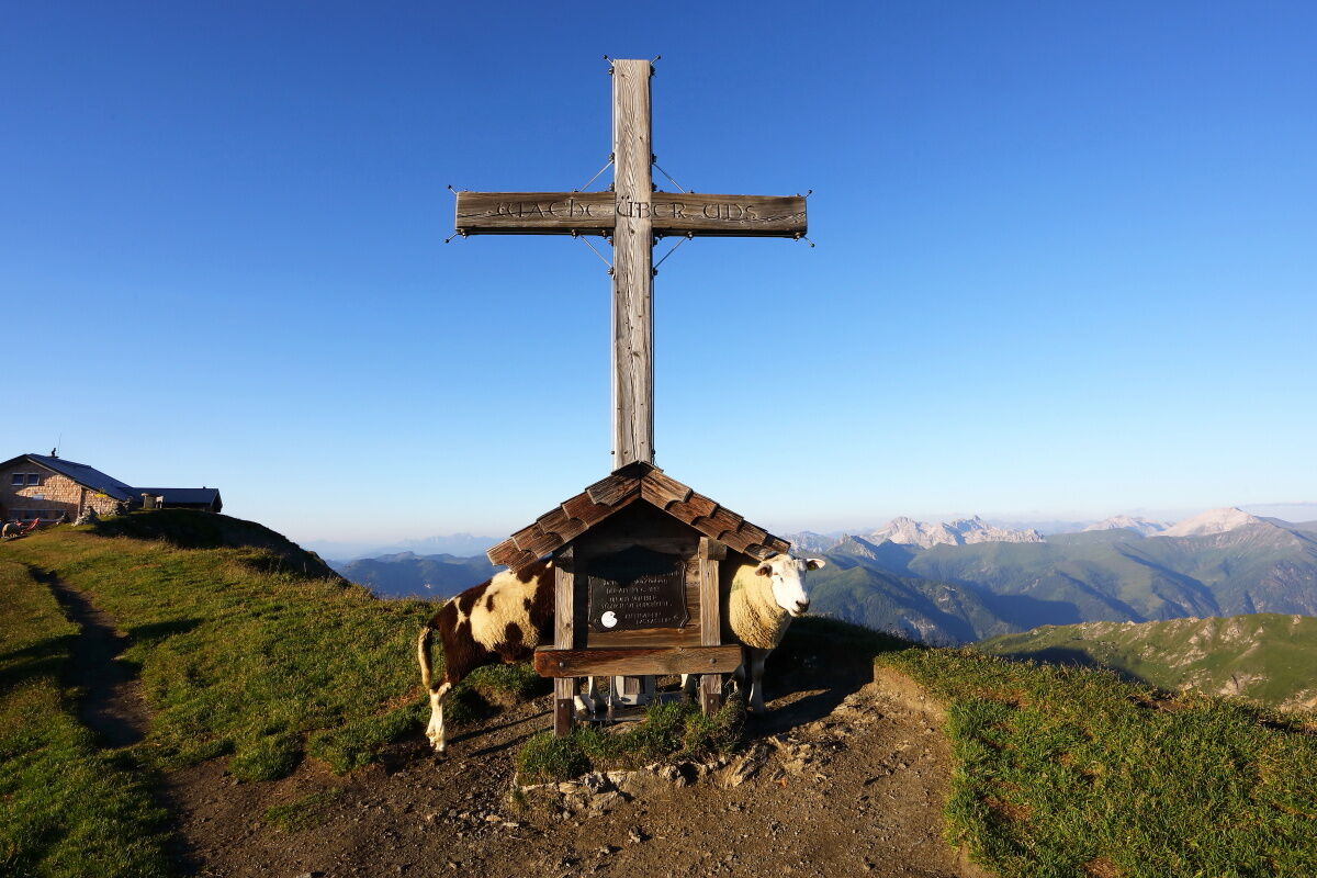
© Salzburger Almenweg - Tourismusverband Großarltal
Datos del tour
16,99km
983
- 2.078m
1.063hm
1.165hm
06:45h

Salzburger Almenweg
- Breve descripción
-
Over the highest grass mountain in Europe into the "Valley of the Alpine Pastures"
- Dificultad
-
medio
- Valoración
-
- Ruta
-
Pyrkershöhe0,3 kmBad Gastein0,9 kmWasserfall0,9 kmGasteiner Wasserfall1,0 kmPreimskirche1,2 kmBadberg1,9 kmBlick nach Bad Hofgastein2,2 kmPoserhöhe5,5 kmOberharbachalm11,6 kmSchappachkapelle16,8 kmHüttschlag16,9 km
- La mejor temporada
-
enefebmarabrmayjunjulagosepoctnovdic
- Punto álgido
- 2.078 m
- Punto final
-
Hüttschlag Town Centre (1,030 m)
- Perfil alto
-


- Autor
-
Salzburger AlmenwegLa gira Salzburger Almenweg - Stage 10: Bad Gastein - Hüttschlag es utilizado por outdooractive.com proporcionado.
GPS Downloads


Información general
Punto de avituallamiento
Secreto
Flora
Fauna
Vistas panorámicas
Más circuitos por las regiones