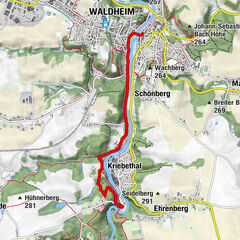
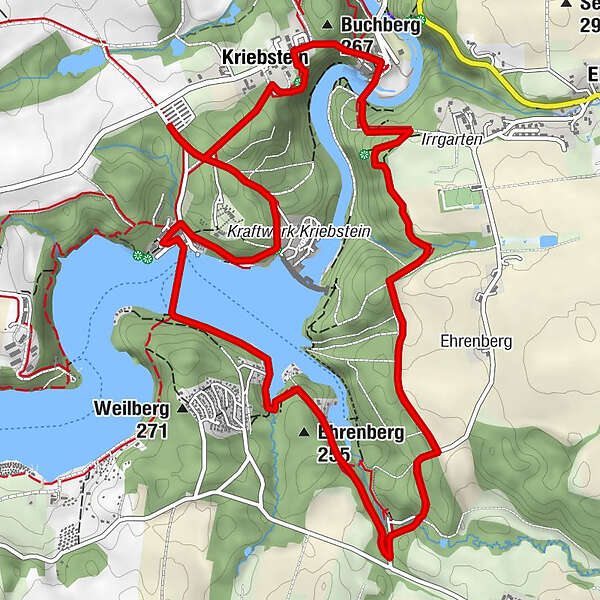
Loop around the Kriebstein dam with ferry crossing

Senderismo

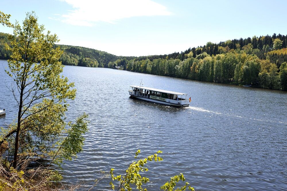
© LEIPZIG REGION - W.Siesing

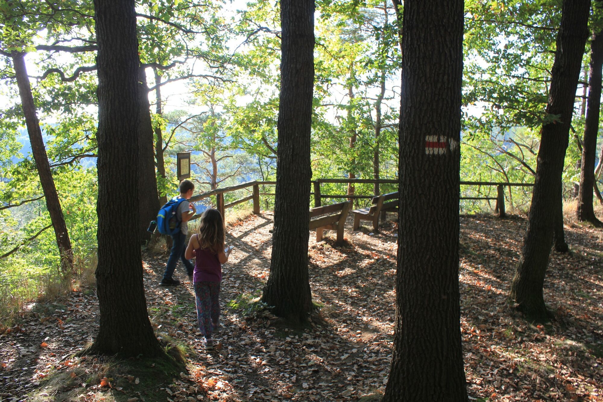
© LEIPZIG REGION - Verena Daser

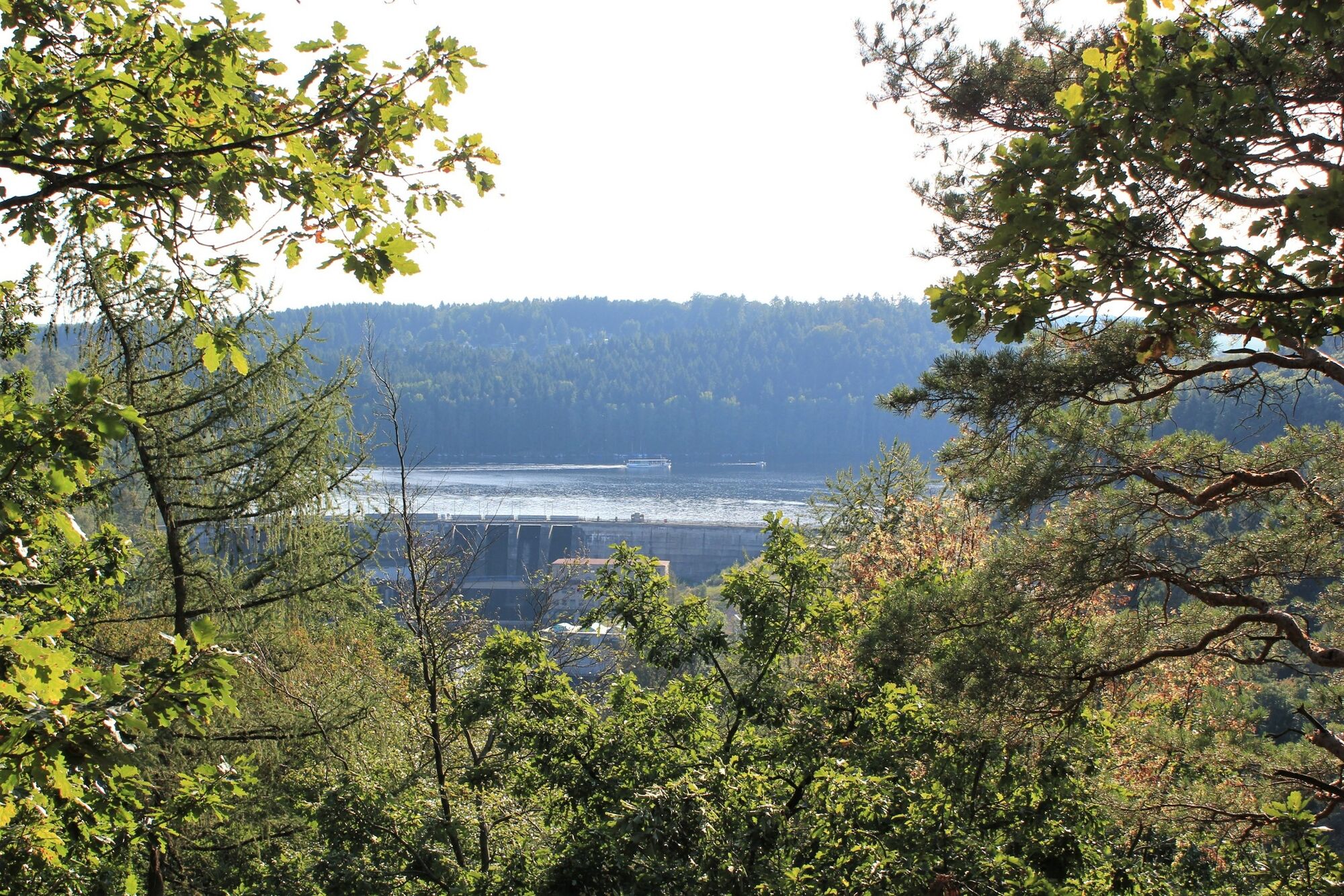
© LEIPZIG REGION - Kati Lange

© LEIPZIG REGION - Kati Lange

- Breve descripción
-
Short loop of the upper Kriebstein dam from Kriebstein harbor with direct ferry connection from Erlebach back to Kriebstein harbor.
- Dificultad
-
medio
- Valoración
-
- Ruta
-
Kriebstein0,6 kmZum Hungerturm1,2 kmSeeterrassen5,8 kmKriebstein6,8 km
- La mejor temporada
-
enefebmarabrmayjunjulagosepoctnovdic
- Punto álgido
- 269 m
- Punto final
-
Large parking lot Kriebstein Talsperre
- Perfil alto
-
 © outdooractive.com

- Autor
-
La gira Loop around the Kriebstein dam with ferry crossing es utilizado por outdooractive.com proporcionado.
GPS Downloads


Información general
Punto de avituallamiento
Más circuitos por las regiones