© Elbsandsteingebirge Verlag - Ottmar Vetter

© Elbsandsteingebirge Verlag - Ottmar Vetter

© Elbsandsteingebirge Verlag - Ottmar Vetter

© Elbsandsteingebirge Verlag - Ottmar Vetter

© Elbsandsteingebirge Verlag - Ottmar Vetter

© Elbsandsteingebirge Verlag - Ottmar Vetter

© www.elbsandsteingebirge.de - Ottmar Vetter

© www.elbsandsteingebirge.de - Ottmar Vetter

© Elbsandsteingebirge Verlag - Ottmar Vetter
- Breve descripción
-
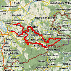
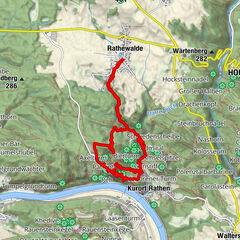
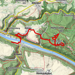
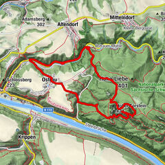
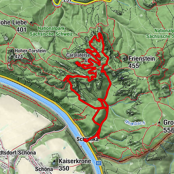
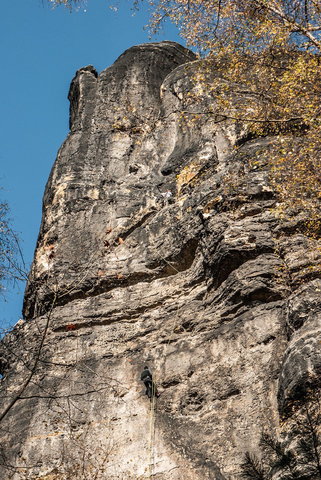
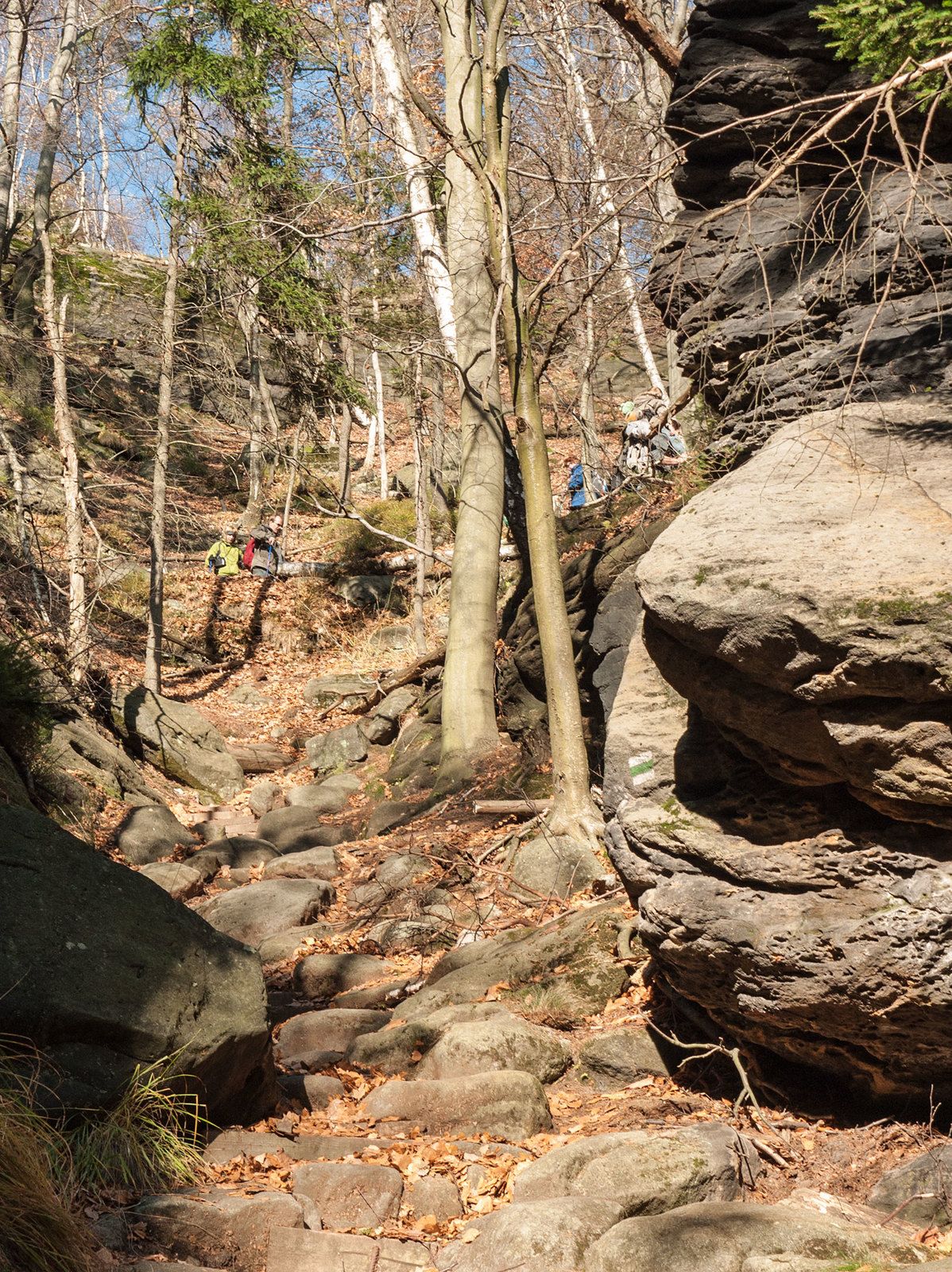
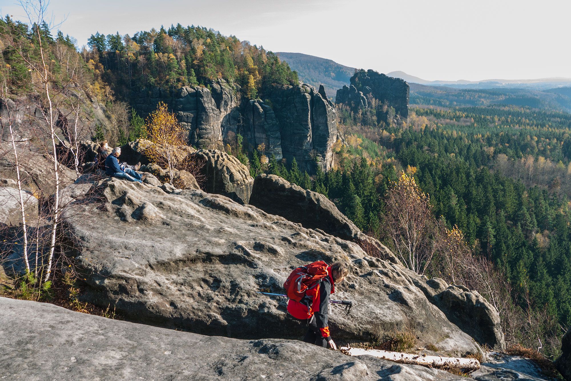
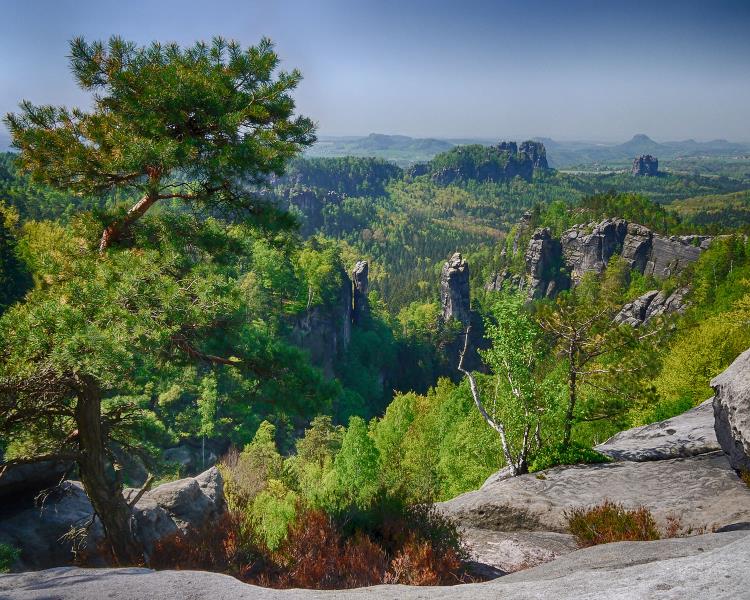
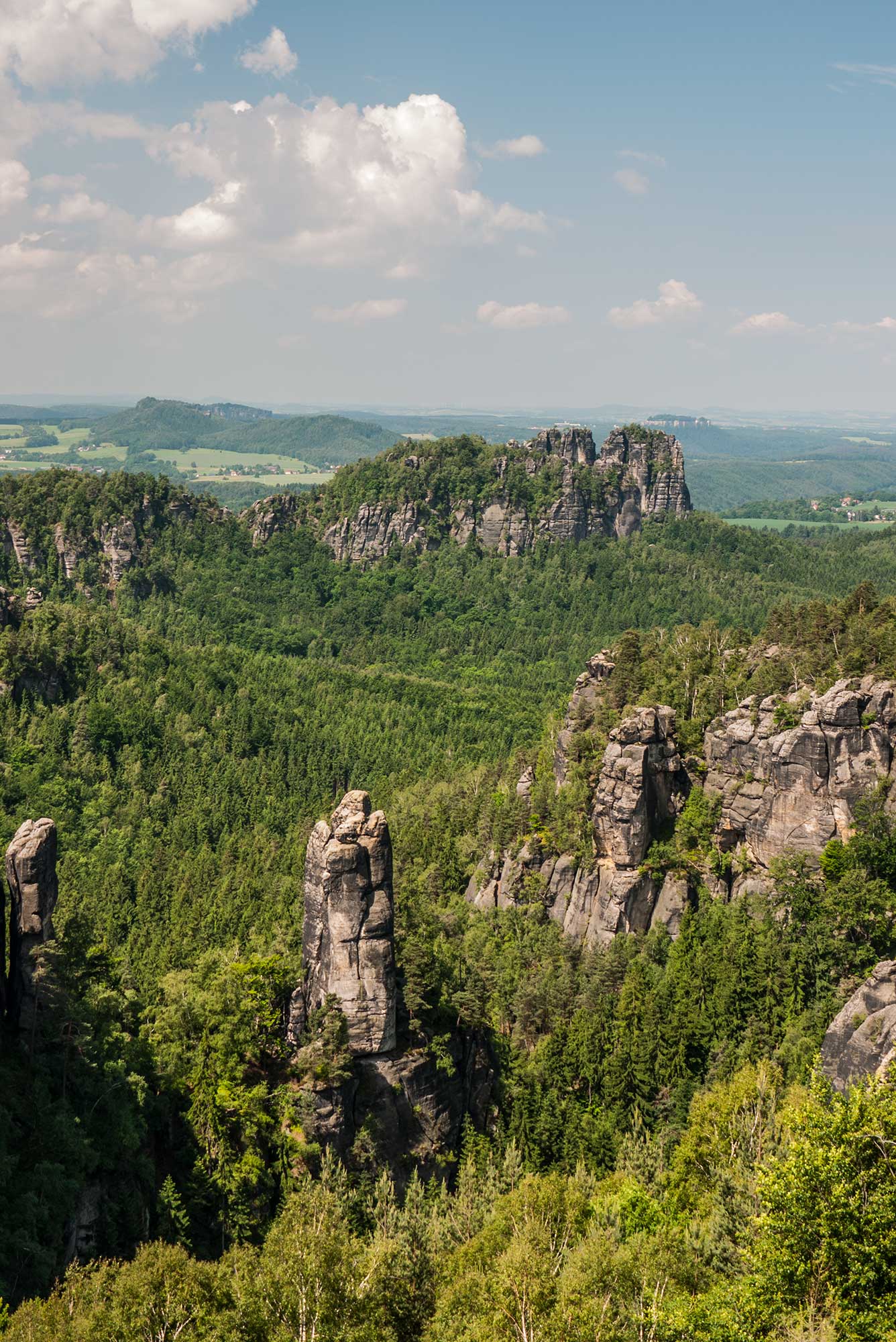
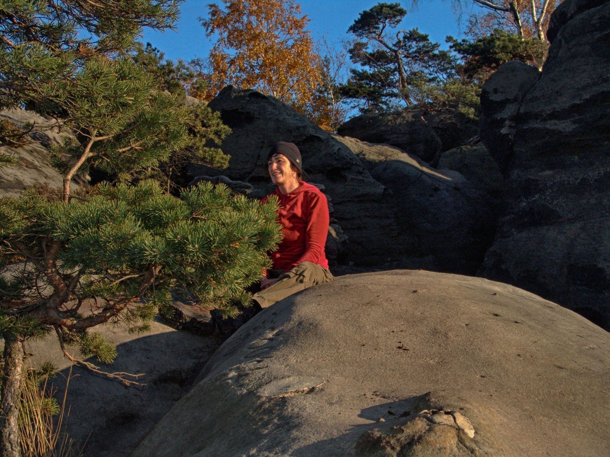
The best route through the Affenstein rock formation is on the Upper Affenstein promenade. This route has only small altitude differences, yet offers spectacular lookout points and places to take a rest. The geological origin of this trail is based on the different rock strengths and the resulting typical erosion.
- Dificultad
-
difícil
- Valoración
-
- Ruta
-
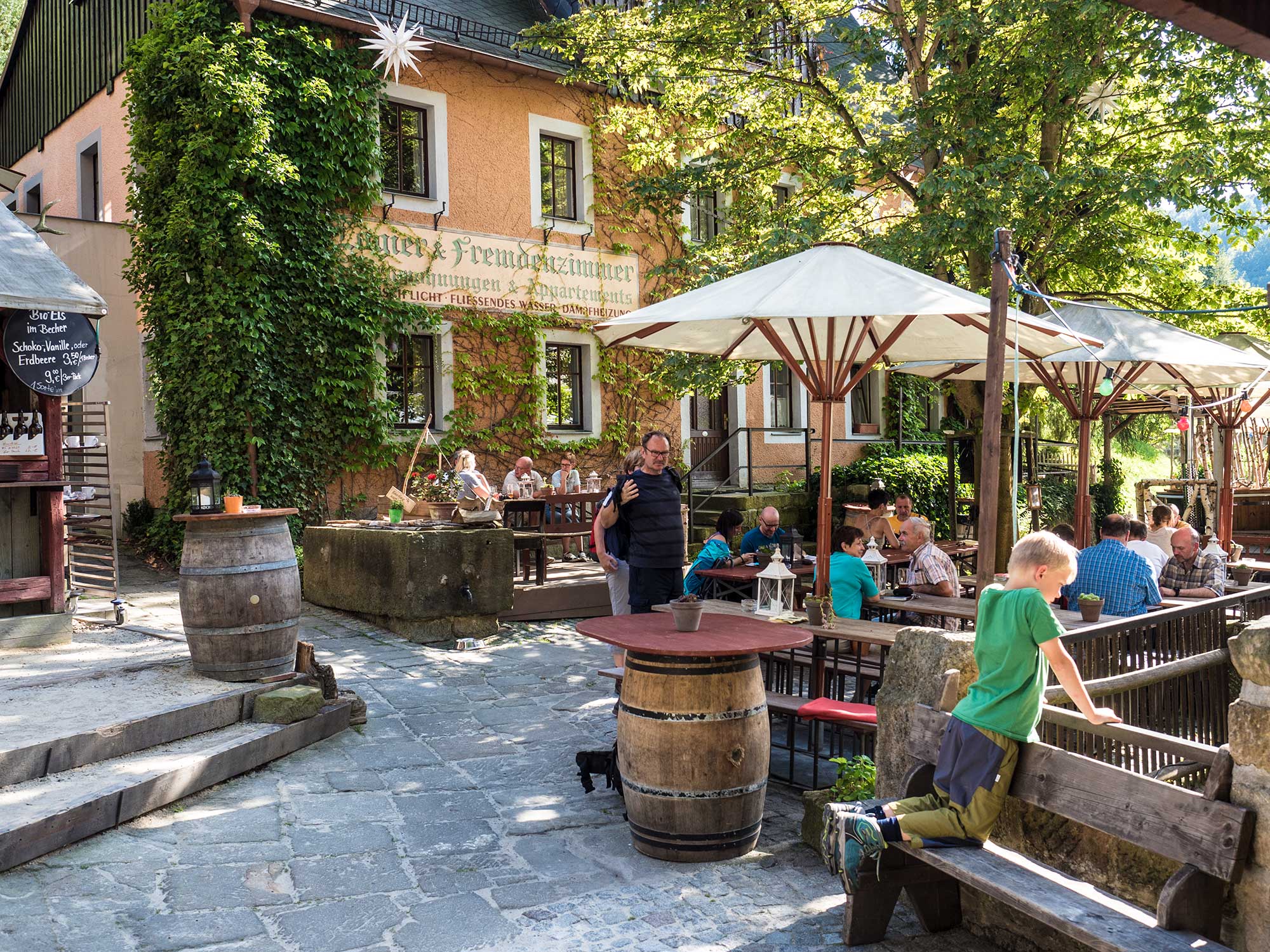
Schmilka, GrenzübergangCafé Richter0,1 kmSchmilka (117 m)0,1 kmGasthof zur Mühle0,1 kmIlmenquelle0,2 kmBreite Kluft3,1 kmBreite-Kluft-Turm3,2 kmBreite-Kluft-Wand3,6 kmBreite-Kluft-Aussicht3,6 kmDickwanst5,0 kmSpieß5,1 kmPromenadenturm5,4 kmPromenadenspitze5,4 kmPromenadensäule5,5 kmWackerzacke5,7 kmWilder-Grund-Turm (367 m)5,8 kmDomerker6,2 kmAffenwand6,3 kmFurz6,7 kmGespaltener Kopf6,8 kmTrabant6,9 km1. Zerborstener Turm7,0 kmZerborstene Nadel7,0 km2. Zerborstener Turm7,0 kmZerborstener Stein7,0 kmZerborstene Scheibe7,0 kmZerborstene Wand7,1 kmSteinmetz7,1 kmWeißhorn7,4 kmDomnadel7,7 kmDäumling7,7 kmDompfaff7,7 kmDomspitze (363 m)7,8 kmHähnelspitze8,2 kmCarolafelsen (458 m)8,5 kmBeelzebub9,1 kmHauptdrilling9,1 kmSchuellernadel9,2 kmHärtelturm9,2 kmGlatze9,3 kmFriseur9,3 kmTeufelsspitze9,3 kmVorderes Leuchterweibchen9,4 kmLeuchterweibchen-Vorkopf9,4 kmJammerspitze9,4 kmHinteres Leuchterweibchen9,5 kmVeteran9,7 kmDämon9,8 kmWotan9,8 kmBrückenturm9,8 kmGipfelbubenkopf9,8 kmBauerlochturm9,8 kmNordstern9,9 kmKlosterwächter9,9 kmHinterer Bussardturm11,1 kmMittlerer Bussardturm11,1 kmVorderer Bussardturm11,2 kmRauschensteiner Turm11,2 kmFlohspitze11,2 kmAlter Bock11,2 kmHeiliger Wenzel11,3 kmHeringsgrund11,7 kmIlmenquelle14,1 kmGasthof zur Mühle14,2 kmCafé Richter14,3 kmSchmilka (117 m)14,4 kmSchmilka14,5 kmSchmilka, Grenzübergang14,5 km
- La mejor temporada
-
enefebmarabrmayjunjulagosepoctnovdic
- Punto álgido
- 445 m
- Punto final
-
Schmilka
- Perfil alto
-
 © outdooractive.com


- Autor
-
La gira The Upper Affenstein Promenade trail es utilizado por outdooractive.com proporcionado.
GPS Downloads


Información general
Secreto
Vistas panorámicas
Más circuitos por las regiones
-
Sächsische Schweiz
1405
-
Böhmisches Schweiz
785
-
Kirnitzschtal
451