© Eike Dubois

© Saarland

© atb-thiry/Fotograf-Bonenberger

© Manuela Meyer

© Yannik Planta

© TZS - Manuela Meyer

© Touristik & Freizeit Sankt Wendeler Land, Eike Dubois

© Deutsches Jugendherbergswerk

- Breve descripción
-
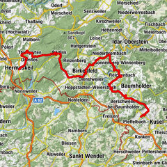
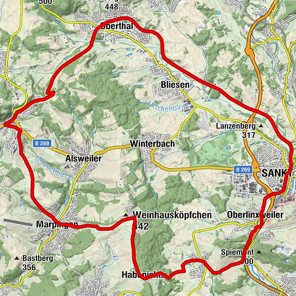
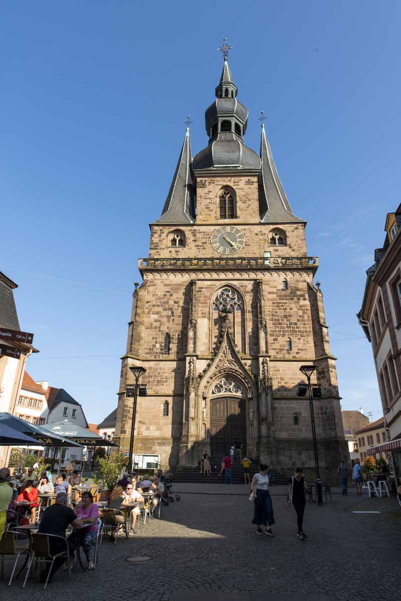
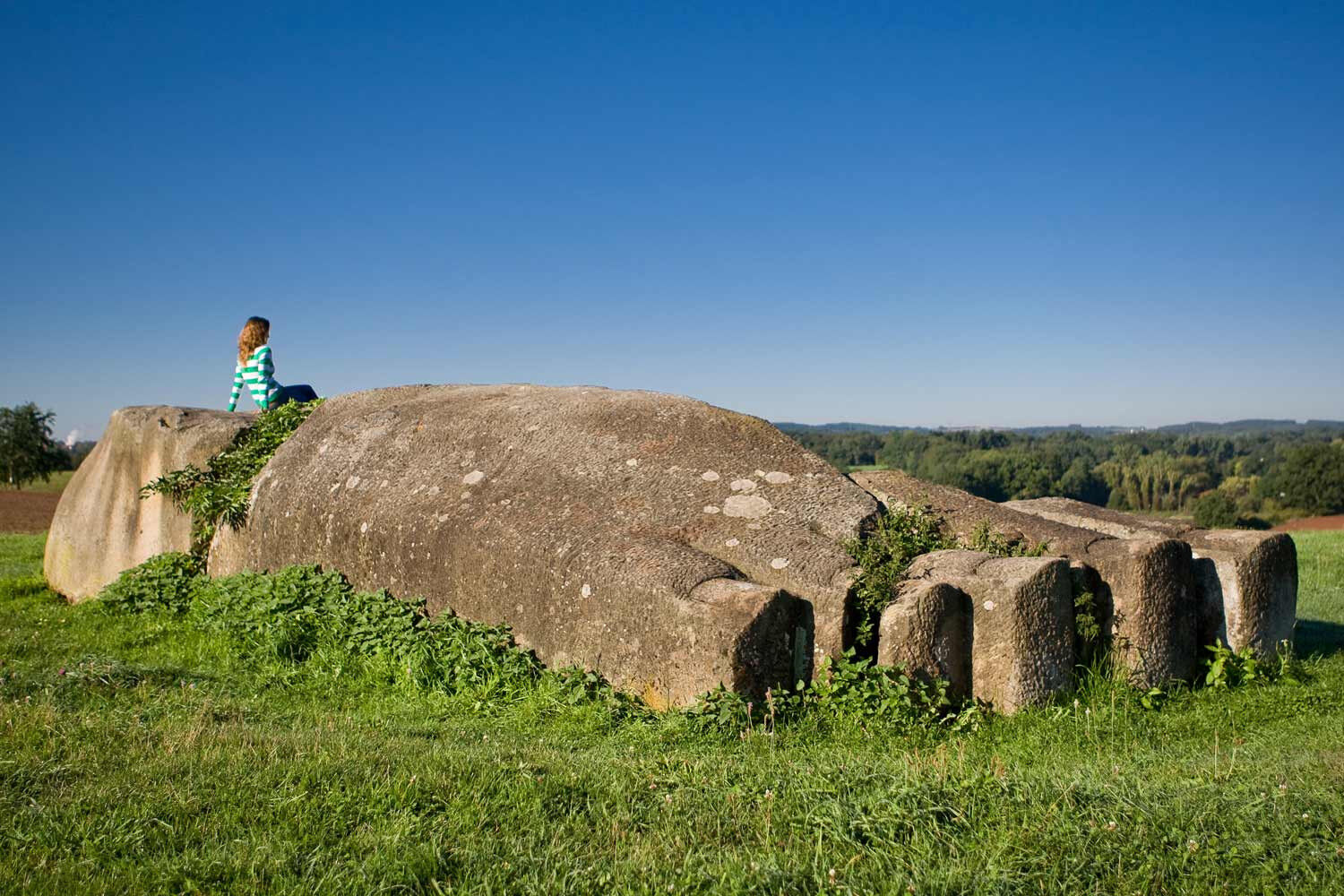
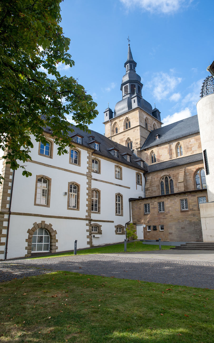
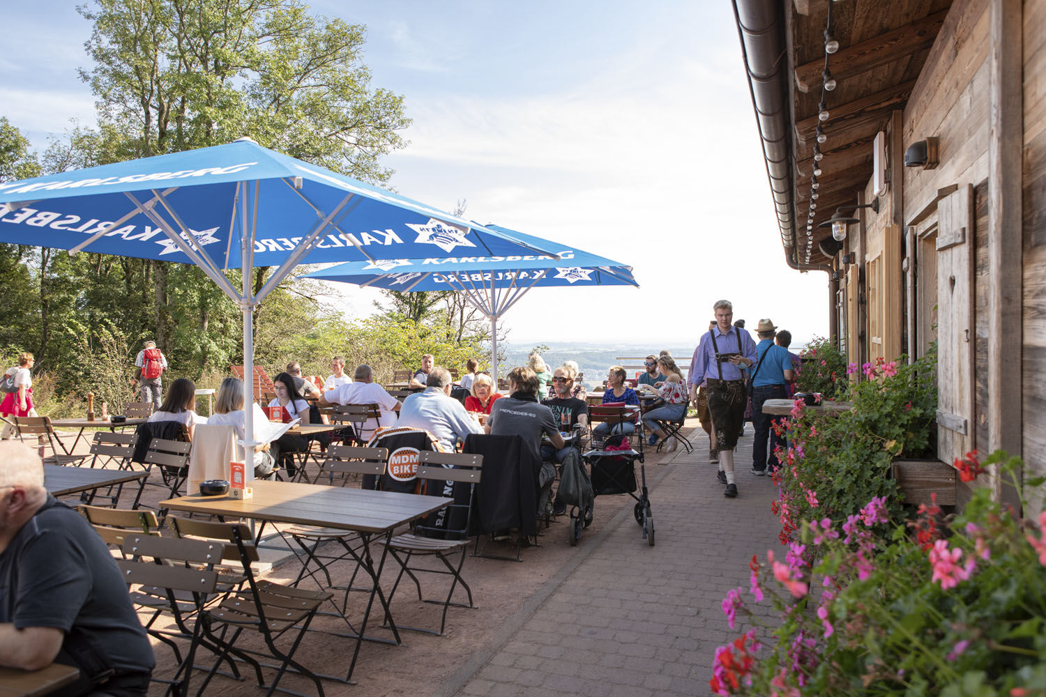
Very nice, varied and relatively short loop through valleys and over hills in the Sankt Wendeler Land region. Highlight: Wendelinus cycle path on the disused railway from St. Wendel toTholey.
- Dificultad
-
medio
- Valoración
-
- Ruta
-
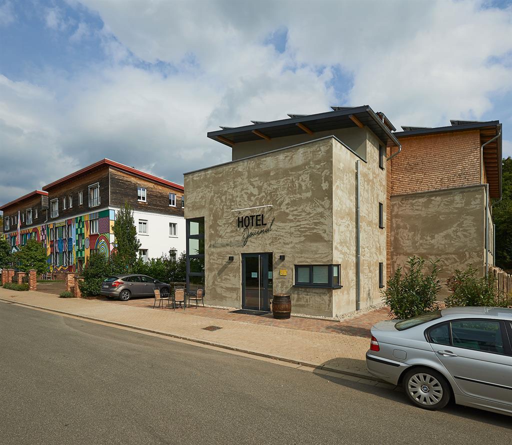
Saint-Wendel (300 m)Bistro am Radweg4,2 kmBliesen (309 m)4,7 kmImweiler8,3 kmOberthal8,5 kmTholey (393 m)14,1 kmGasthof zum Haab14,1 kmGasthaus Bourger14,2 kmMarpingen (301 m)18,6 kmHabenichts23,3 kmPizzeria Quattro Mori25,8 kmRemmesweiler25,9 kmZum Dorfbrunnen26,0 kmGasthaus Schäfer26,1 kmZum Schützenhaus28,3 kmOberlinxweiler29,5 kmSaint-Wendel (300 m)31,5 km
- La mejor temporada
-
enefebmarabrmayjunjulagosepoctnovdic
- Punto álgido
- 424 m
- Punto final
-
St. Wendel, Parkplatz Wendelinus-Radweg hinter dem Bahnhof
- Perfil alto
-
 © outdooractive.com
- Autor
-
La gira Wendelinus Loop es utilizado por outdooractive.com proporcionado.
GPS Downloads


Información general
Cultural/Histórico
Más circuitos por las regiones