


Panorama Tour Zell - Hunsrück meets Moselle
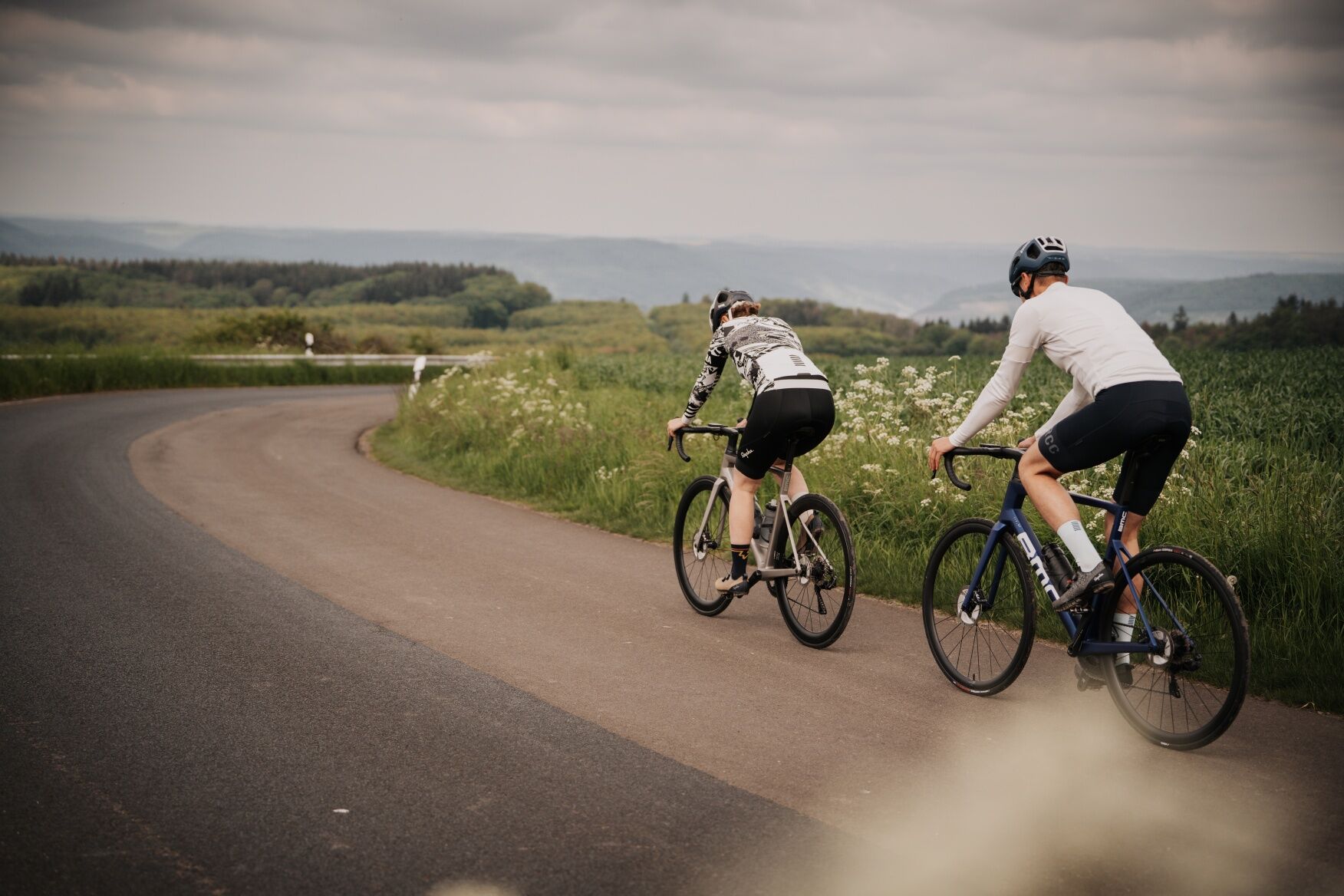
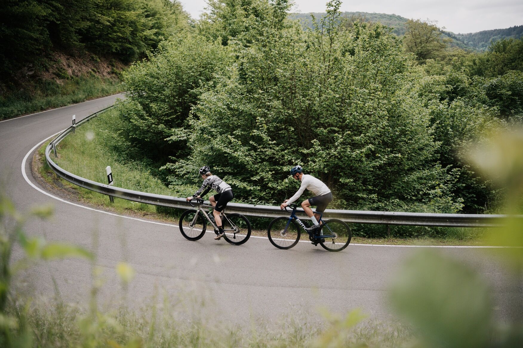
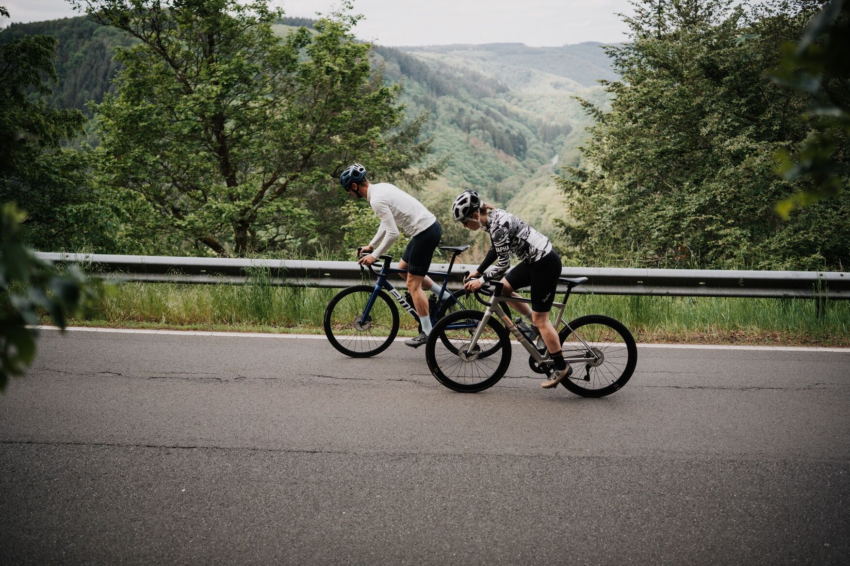
From Zell on the Moselle, the racing bike route runs through the wildly romantic Altlayer Bachtal valley over the Hunsrück heights and from there over the Briedeler Heck - a popular racing bike descent...
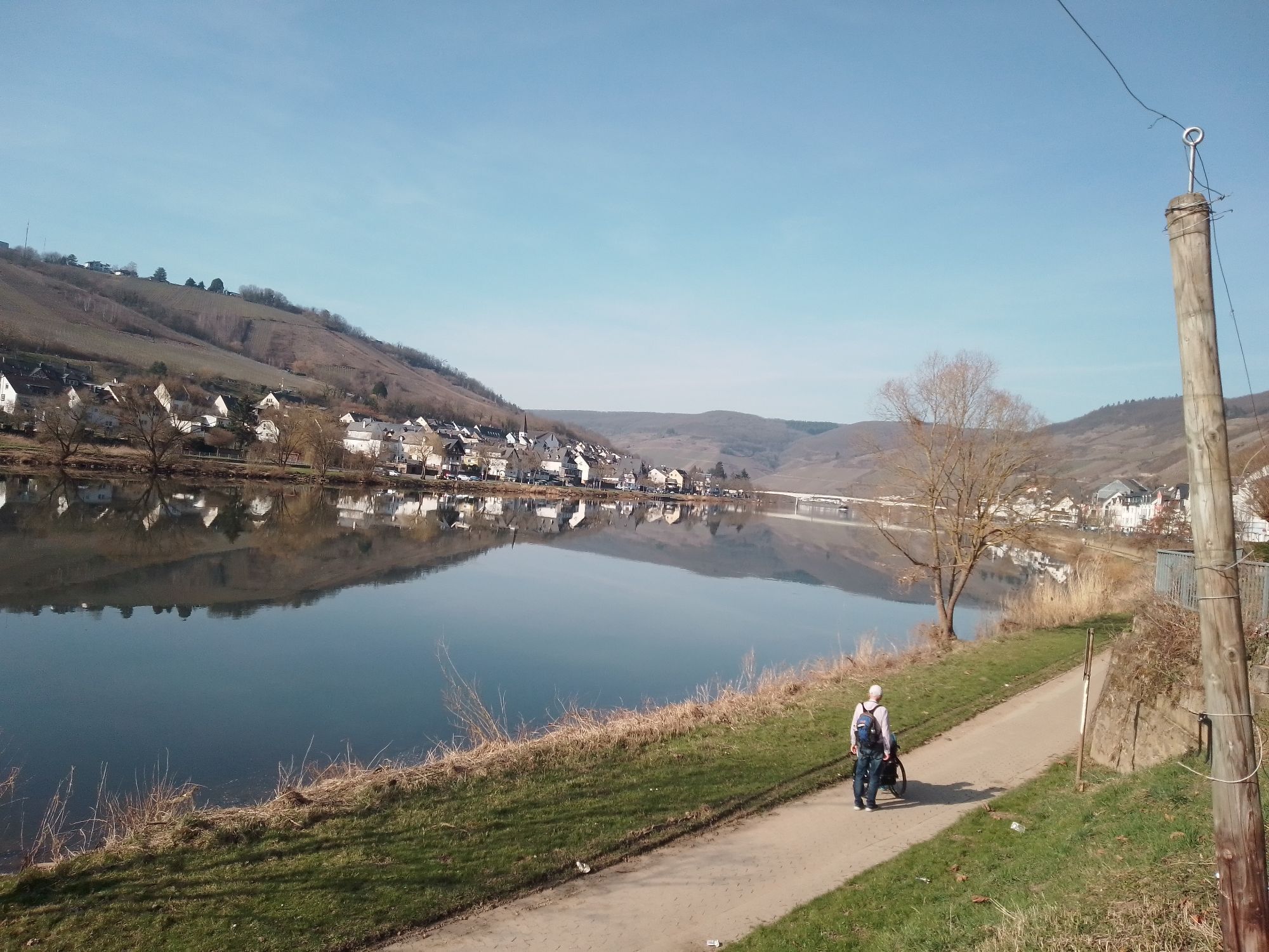
From Zell on the Moselle, the racing bike route runs through the wildly romantic Altlayer Bachtal valley over the Hunsrück heights and from there over the Briedeler Heck - a popular racing bike descent - with views of the Moselle loop back into the Moselle valley.
From Zell an der Mosel, the route leads along the Altlayer Bach stream towards Altlay before branching off to the left towards Peterswald. Via Löffelscheid, Rödelhausen, Belg, Würrich and Raversbeuren, the route undulates over the Hunsrück to the descent via the Briedeler Heck back into the Moselle valley.
HelmetMobile phone with full batteryCash, ID cardNavigation device, mapsAir pump / compressed air cartridgeSpare inner tubeSufficient beveragesEnergy bar / gelWind / rain jacket
Observe the traffic rules, pay attention to other road users and ride at an appropriate speed, especially on descents. Be considerate of other cyclists and pedestrians.
Via the A 61 from Mainz, take the B50 at Rheinböllen to Kirchberg Kirchberg and then the B421 to Zell. From Cologne on the A61 via Mendig to Mayen and then via the A48 to the Kaisersesch exit to Cochem.
Free parking in Zell-Kaimt (In den Sandgärten 1, 56856 Zell), in Zell in Brandenburg Straße or "Am Bahnhof".
Enjoy the view towards the Moselle valley on the descent over the Briedeler Heck.
Rutas populares en los alrededores
-
5,0
Calmonter Felsensteig
medioSenderismo 6,31 km -
5,0
Moselsteig etapa 11: Bernkastel-Kues - Ürzig
medioSendero de largo recorrido 17,1 km -
4,2
Etapa 14 Moselsteig: Reil – Zell (Mosel)
luzSendero de largo recorrido 12,4 km -
4,5
Moselsteig etapa 12: Ürzig – Traben-Trarbach
medioSendero de largo recorrido 15,1 km -
4,0
Desvío Moselsteig Leiermannspfad
medioSenderismo 10,9 km -
5,0
Moselsteig etapa 13: Traben-Trarbach – Reil
medioSendero de largo recorrido 15,3 km -
5,0
Mörsdorf - Geierlay
medioSenderismo 7,79 km -
5,0
Etapa 16 del Moselsteig: Neef – Ediger-Eller
medioSendero de largo recorrido 11,5 km -
5,0
Traben-Trarbach - Bernkastel en terug
medioSenderismo 17,2 km -
4,0
Etapa 17 del Moselsteig: Ediger-Eller – Beilstein
medioSendero de largo recorrido 16,0 km
Senderismo y rastreo


No se pierda las ofertas y la inspiración para sus próximas vacaciones
Su dirección de correo electrónico se ha añadido a la lista de correo.