© Heidiland Tourismus - Thomas Kessler

© Heidiland Tourismus - Riccarda Heis

© Heidiland Tourismus - Riccarda Heis

© Heidiland Tourismus - Thomas Kessler Visual

© Heidiland Tourismus - Thomas Kessler


- Breve descripción
-
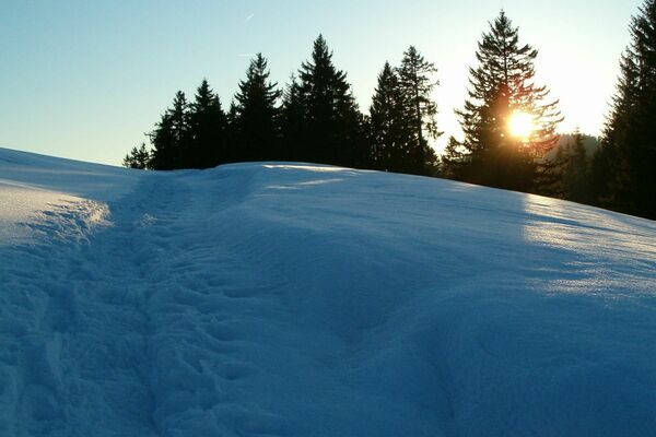
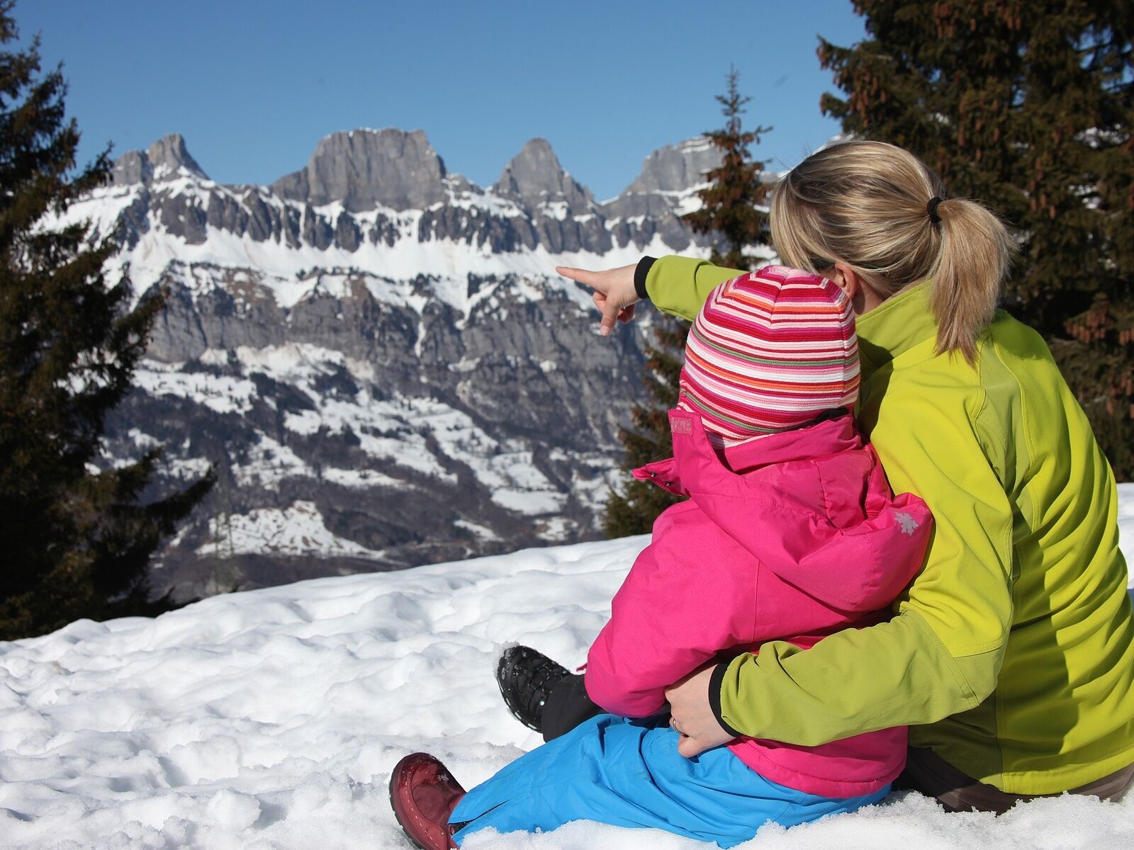
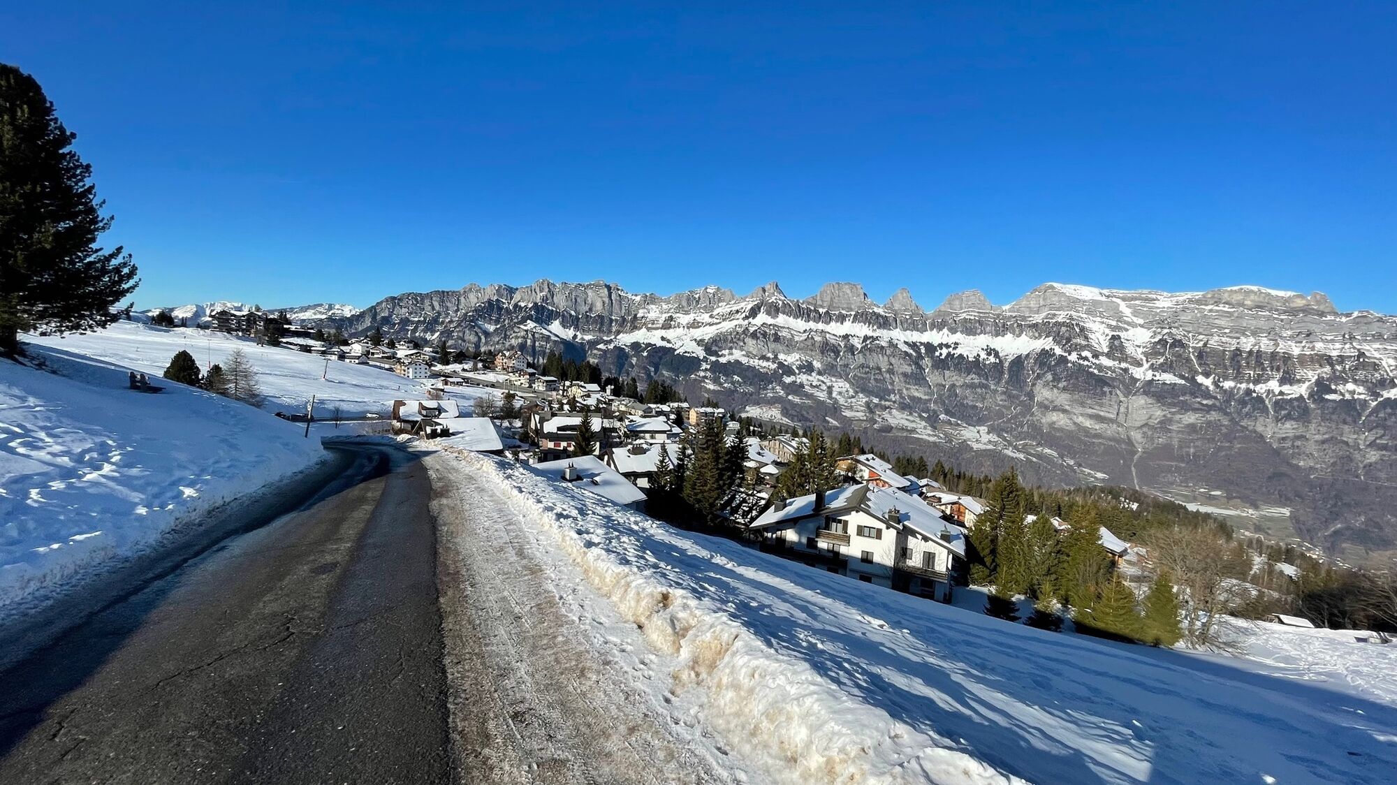
A beautiful short winter hiking trail along the edge of the forest and through the snow-covered woods.
- Dificultad
-
fácil
- Valoración
-
- Ruta
-
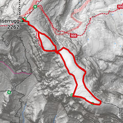
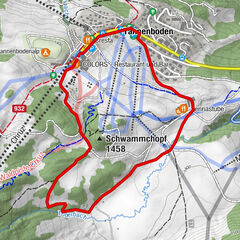
Tannenboden (1.344 m)Tannenheim (1.220 m)1,1 km
- La mejor temporada
-
agosepoctnovdicenefebmarabrmayjunjul
- Punto álgido
- 1.395 m
- Punto final
-
Mittenwald, Flumserberg
- Perfil alto
-
 © outdooractive.com


-

-
AutorLa gira Tannenboden-Mittenwald es utilizado por outdooractive.com proporcionado.
GPS Downloads


Información general
Punto de avituallamiento
Más circuitos por las regiones
-
Heidiland
216
-
Flumserberg und Umgebung
61
-
Flumserberg
31